The Most Popular Urban Mobility App in Panama City.
All local mobility options in one app
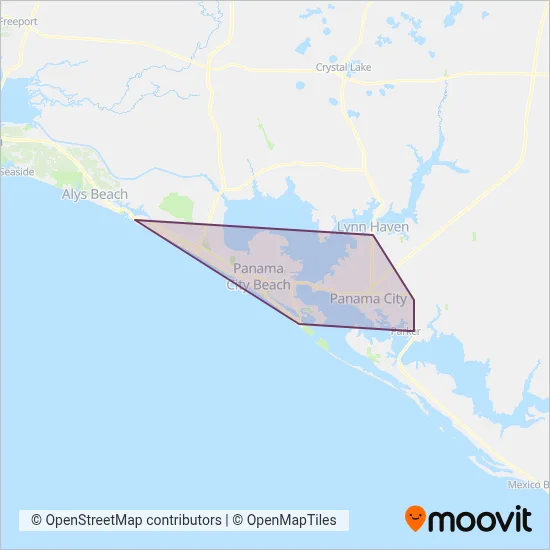
Bayway is a public transportation provider in Panama City which operates Bus routes.
The Bayway has 8 Bus routes in Panama City with 295 Bus stops.
Their Bus routes cover an area from the Front Beach Rd. & Back Beach Rd. (Winn-Dixie) stop to the 5th Street And 15th Street stop and from the Front Beach Rd. & Back Beach Rd. (Winn-Dixie) stop to the 5th Street And 15th Street stop.
Bayway line schedules (timetables, itineraries, service hours), and departure and arrival times to stations are updated in the app in real time.
For Bayway service alerts, please check the Moovit website for real-time info on bus status, bus delays, changes of bus routes, changes of stops and any service changes.
Bayway is a public transportation provider in Panama City which operates Bus routes.
The Bayway has 8 Bus routes in Panama City with 295 Bus stops.
Their Bus routes cover an area from the Front Beach Rd. & Back Beach Rd. (Winn-Dixie) stop to the 5th Street And 15th Street stop and from the Front Beach Rd. & Back Beach Rd. (Winn-Dixie) stop to the 5th Street And 15th Street stop.
Bayway line schedules (timetables, itineraries, service hours), and departure and arrival times to stations are updated in the app in real time.
The Bayway has Bus routes operating across Panama City including: Panama City, Lynn Haven, Panama City Beach, Pretty Bayou, Upper Grand Lagoon, Cedar Grove, Callaway, Lower Grand Lagoon, Laguna Beach.
The longest line from the Bayway is: EXPRESS ROUTE - MEXICO BEACH. This Bus route starts from Tyndall Pkwy & Walmart Parking Lot (Callaway) and ends at Us Hwy 98 And N 32nd Street. It covers over 35 km and has 4 stops.
The shortest line is: 2. This Bus line begins from Panama City Mall (Panama City) and finishes at Government St. & Marina Civic Center (Panama City). It runs through 6 km with 14 stops.
According to Moovit Insights, the most popular lines for Bayway are .
Costs and prices of different ticket types may change, based on several factors. Please check the Moovit app to view bus fares of individual lines. For more information on ride fares and for buying bus tickets online please visit Bayway's official site.
Looking for a specific Bayway Bus schedule? All Bayway lines and schedules in Panama City can be found in the Moovit App. Moovit gives you directions for Bayway routes and provides helpful step-by-step navigation.