How to get to B2u Tech by bus?
Click on the bus route to see step by step directions with maps, line arrival times and updated time schedules.
From Red Hill Auditorium, Middle Swan
49 minFrom Sandalford Winery, West Swan
90 minFrom Caversham Wildlife Park, Whiteman
63 minFrom Mandoon Estate, Caversham
82 minFrom Jaiama Investments Pty, Malaga
87 minFrom 8pag Caversham, Caversham
63 minFrom Sandalford Wines, Caversham
70 minFrom Margaret River Chocolate Factory, West Swan
82 min
How to get to B2u Tech by train?
Click on the train route to see step by step directions with maps, line arrival times and updated time schedules.
Bus stops near B2u Tech in Ellenbrook
Bus lines to B2u Tech in Ellenbrook
What are the nearest stations to B2u Tech?
The nearest stations to B2u Tech are:
- Henley Brook Av After Westgrove Dr is 371 meters away, 6 min walk.
- Millhouse Rd Before Manila Wy is 506 meters away, 7 min walk.
- The Promenade After Pinaster Pde is 743 meters away, 10 min walk.
Which bus lines stop near B2u Tech?
These bus lines stop near B2u Tech: 310, 342, 343, 455.
Which train line stops near B2u Tech?
ELLENBROOK LINE (Ellenbrook Stn)
What’s the nearest bus station to B2u Tech in Ellenbrook?
The nearest bus station to B2u Tech in Ellenbrook is Henley Brook Av After Westgrove Dr. It’s a 6 min walk away.
What time is the first bus to B2u Tech in Ellenbrook?
The 343 is the first bus that goes to B2u Tech in Ellenbrook. It stops nearby at 05:03.
What time is the last bus to B2u Tech in Ellenbrook?
The 343 is the last bus that goes to B2u Tech in Ellenbrook. It stops nearby at 21:33.
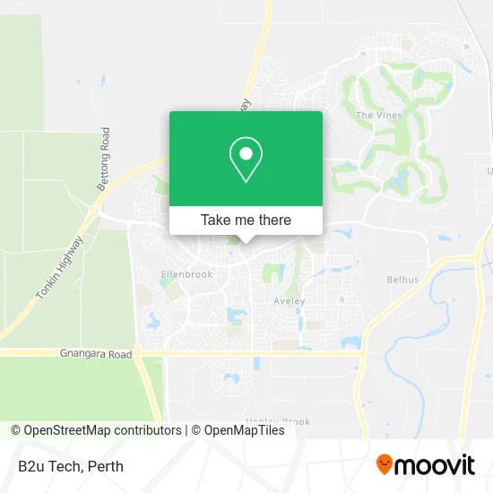
See B2u Tech, Ellenbrook, on the map
Public Transit to B2u Tech in Ellenbrook
Wondering how to get to B2u Tech in Ellenbrook? Moovit helps you find the best way to get to B2u Tech with step-by-step directions from the nearest public transit station.
Moovit provides free maps and live directions to help you navigate through your city. View schedules, routes, timetables, and find out how long does it take to get to B2u Tech in real time.
Looking for the nearest stop or station to B2u Tech? Check out this list of stops closest to your destination: Henley Brook Av After Westgrove Dr; Millhouse Rd Before Manila Wy; The Promenade After Pinaster Pde.
Bus: 310, 342, 343, 455, 345, 348.Train: ELLENBROOK LINE.
Want to see if there’s another route that gets you there at an earlier time? Moovit helps you find alternative routes or times. Get directions from and directions to B2u Tech easily from the Moovit App or Website.
We make riding to B2u Tech easy, which is why over 1.5 million users, including users in Ellenbrook, trust Moovit as the best app for public transit. You don’t need to download an individual bus app or train app, Moovit is your all-in-one transit app that helps you find the best bus time or train time available.
For information on prices of bus and train, costs and ride fares to B2u Tech, please check the Moovit app.
Use the app to navigate to popular places including to the airport, hospital, stadium, grocery store, mall, coffee shop, school, college, and university.
B2u Tech Address: 16 Alderley Clos Ellenbrook WA 6069 street in Ellenbrook
- The Digital Target,
- Dynamic Driving School,
- WT Global Trading,
- Peard Real Estate,
- Essence Eyewear,
- Chu Chu,
- Web & Graphic Designer,
- Premier Group Finance,
- Cook Islands Wa,
- Brick by Brick Perth Bricklaying Services,
- Vortex Garden and Maintenance,
- Australian Insulation,
- Delaney Park,
- T4's Studio,
- Onsurge,
- Empress Beauty and Makeup,
- Dezire Studios,
- Wild Light Photography Tours,
- Impact Community Church,
- Oh Wow Brow Studio Joondalup
Places Near B2u Tech (Ellenbrook)
- Blue Boat House,
- DFO, Perth Airport,
- Royal Perth Hospital, Perth,
- Optus Stadium, Burswood,
- Rac Arena, Perth,
- Westfield Carousel, Cannington,
- Langley Park, Perth,
- Karrinyup Shopping Centre, Karrinyup,
- Perth Convention Exhibition Centre, Perth,
- Mount Hospital, Perth,
- Aqwa Aquarium, Hillarys,
- Yankee Mart, Baldivis,
- IKEA, Innaloo,
- Sir Charles Gairdner Hospital, Nedlands,
- McCallum Park, Victoria Park,
- Crown Perth Casino, Burswood,
- Watertown, Perth,
- Pelicaan Investment Ho, Bellevue,
- Scitech, West Perth,
- Fiona Stanley Hospital, Murdoch
How to get to popular places in Perth with public transport
Get around Ellenbrook by public transport!
Travelling around Ellenbrook has never been so easy. See step by step directions as you travel to any attraction, street or major public transport station. View bus and train timetables, arrival times, service alerts and detailed routes on a map, so you know exactly how to get to anywhere in Ellenbrook.
When travelling to any destination around Ellenbrook use Moovit's Live Directions with Get Off Notifications to know exactly where and how far to walk, how long to wait for your line , and how many stops are left. Moovit will alert you when it’s time to get off — no need to constantly re-check whether yours is the next stop.
Wondering how to use public transport in Ellenbrook or how to pay for public transport in Ellenbrook? Moovit public transport app can help you navigate your way with public transport easily, and at minimum cost. It includes public transport fees, ticket prices, and costs. Looking for a map of Ellenbrook public transport lines? Moovit public transport app shows all public transport maps in Ellenbrook with all Bus, Train and Ferry routes and stops on an interactive map.
Perth has 3 transport type(s), including: Bus, Train and Ferry, operated by several transport agencies, including Transperth Rail, Transwa, Transperth Ferry, Transperth, TransBusselton, TransAlbany, TransGoldfields, TransEsperance, TransGeraldton, TransCarnarvon, TransHedland, TransKarratha, TransBunbury, Mandurah Bus Charter and TransBroome