Beeches Rd stop - Saturday schedule
| Line | Direction | Time |
|---|---|---|
| 28 | Eastfield Rd | 05:19 |
| 28 | Eastfield Rd | 05:19 |
| 28 | Eastfield Rd | 05:49 |
| 28 | Eastfield Rd | 05:49 |
| 28 | Eastfield Rd | 06:19 |
| 28 | Eastfield Rd | 06:19 |
| 28 | Eastfield Rd | 06:49 |
| 28 | Eastfield Rd | 06:49 |
| 28 | Eastfield Rd | 07:09 |
| 28 | Eastfield Rd | 07:09 |
| 52 | Beeches Rd | 07:26 |
| 52 | Beeches Rd | 07:26 |
| 28 | Eastfield Rd | 07:39 |
| 28 | Eastfield Rd | 07:39 |
| 52 | Beeches Rd | 07:56 |
| 52 | Beeches Rd | 07:56 |
| 28 | Eastfield Rd | 08:09 |
| 28 | Eastfield Rd | 08:09 |
| 52 | Beeches Rd | 08:26 |
| 52 | Beeches Rd | 08:26 |
| 28 | Eastfield Rd | 08:39 |
| 28 | Eastfield Rd | 08:39 |
| 52 | Beeches Rd | 08:56 |
| 52 | Beeches Rd | 08:56 |
| 28 | Eastfield Rd | 08:59 |
Directions to Beeches Rd stop (Oscott) with public transport
The following transport lines have routes that pass near Beeches Rd
 Bus: 28, 52, 997, 998.
- Train: WEST MIDLANDS RAILWAY.
How to get to Beeches Rd stop by bus?
Click on the bus route to see step by step directions with maps, line arrival times and updated time schedules.
How to get to Beeches Rd stop by train?
Click on the train route to see step by step directions with maps, line arrival times and updated time schedules.
Bus stops near Beeches Rd stop in Oscott
- James Watt College, 5 min walk,
- Drakes Drum, 6 min walk,
Bus lines to Beeches Rd stop in Oscott
- 28, Scott Arms,
- 52, Snow Hill Station,
- 997, Old Square,
- 998, Hardwick Rd,
What are the nearest stations to Beeches Rd?
The nearest stations to Beeches Rd are:
- James Watt College is 368 meters away, 5 min walk.
- Drakes Drum is 459 meters away, 6 min walk.
Which bus lines stop near Beeches Rd?
These bus lines stop near Beeches Rd: 28, 52, 997.
Which train line stops near Beeches Rd?
WEST MIDLANDS RAILWAY (Walsall)
What’s the nearest bus station to Beeches Rd in Oscott?
The nearest bus station to Beeches Rd in Oscott is James Watt College. It’s a 5 min walk away.
What time is the first bus to Beeches Rd in Oscott?
The 28 is the first bus that goes to Beeches Rd in Oscott. It stops nearby at 05:05.
What time is the last bus to Beeches Rd in Oscott?
The 997 is the last bus that goes to Beeches Rd in Oscott. It stops nearby at 00:18.
Beeches Rd station
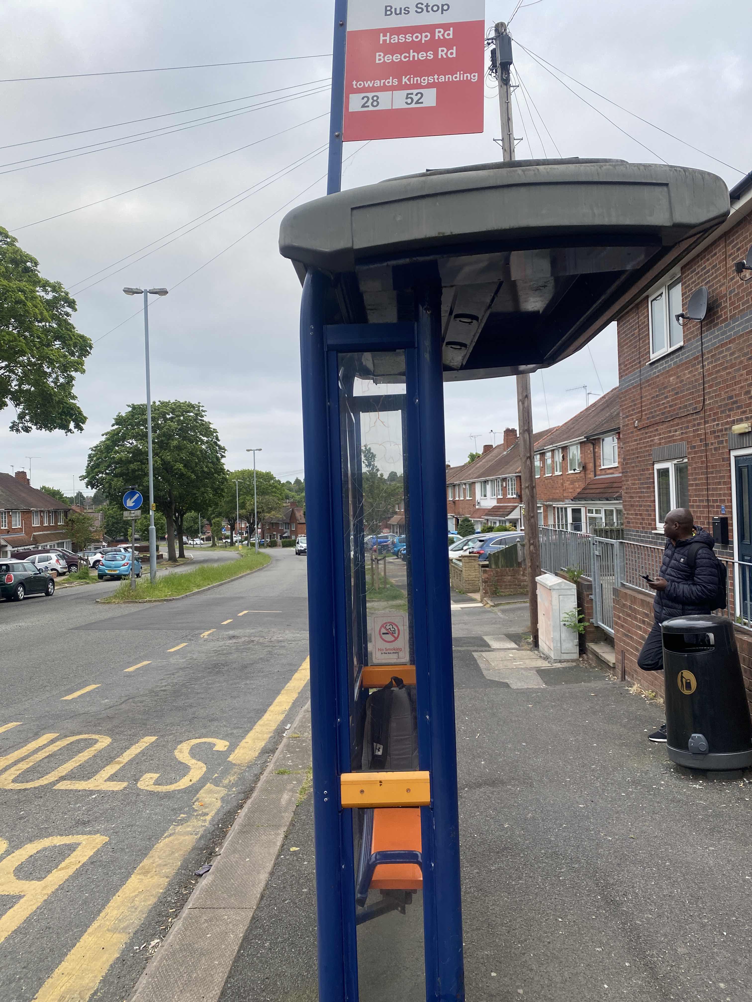 Taken by Anonymous
See Beeches Rd stop, Oscott, on the map
Public transport to Beeches Rd stop (ID: nwmtgmgw) in Oscott
Looking for directions to Beeches Rd in Oscott, United Kingdom?
Download the Moovit App to find the current schedule and step-by-step directions for Bus or Train routes that pass through Beeches Rd.
Looking for the nearest stops closest to Beeches Rd ? Check out this list of closest stops to your destination: James Watt College; Drakes Drum.
Bus: 28, 52, 997, 998.Train: WEST MIDLANDS RAILWAY.
We make riding on public transit to Beeches Rd easy, which is why over 1.5 million users, including users in Oscott trust Moovit as the best app for public transit.
Use the app to navigate to popular places including to the airport, hospital, stadium, grocery store, mall, coffee shop, school, college, and university.
Beeches Rd stop’s code is nwmtgmgw
The first line to this stop is 28, at 05:19, and the last line is 52 at 23:56.
271 Beeches Road, Birmingham, England, United Kingdom
This stop serves National Express West Midlands’s lines
Popular routes from Beeches Rd stop, Oscott
- To Wyken,
- To University Of Wolverhampton, Walsall Campus,
- To New Invention,
- To University Of Warwick, Gibbet Hill Campus,
- To University College Birmingham,
- To Stockland Green,
- To Pendeford,
- To Jarratt Hall (University Of Birmingham Halls Of Residence),
- To Staffordshire University,
- To Staffordshire University
- James Watt College,
- Drakes Drum
Bus stops near Beeches Rd stop
- Stourbridge Town,
- Stratford Tesco Bus Shelter,
- Coombes Rd,
- Blossom Grove,
- Peartree Lane,
- Hagley Rd West,
- Lutley Lane,
- Green Lane Park,
- Moseley Hall Hospital,
- Samuel Johnson Hospital,
- Bermuda Park,
- Heathcote Street,
- Little Aston Hall Drive,
- Portway Rd,
- Lichfield Trent Valley,
- B'Ham Airport Bus Terminal,
- Chawn Park Drive,
- Dunton Island,
- Perry Barr Rail Station,
- Aston House
Popular public transport stations in Oscott
Get around Oscott by public transport!
Travelling around Oscott has never been so easy. See step by step directions as you travel to any attraction, street or major public transport station. View bus and train timetables, arrival times, service alerts and detailed routes on a map, so you know exactly how to get to anywhere in Oscott.
When travelling to any destination around Oscott use Moovit's Live Directions with Get Off Notifications to know exactly where and how far to walk, how long to wait for your line , and how many stops are left. Moovit will alert you when it’s time to get off — no need to constantly re-check whether yours is the next stop.
Wondering how to use public transport in Oscott or how to pay for public transport in Oscott? Moovit public transport app can help you navigate your way with public transport easily, and at minimum cost. It includes public transport fees, ticket prices, and costs. Looking for a map of Oscott public transport lines? Moovit public transport app shows all public transport maps in Oscott with all Bus, Train and Light rail routes and stops on an interactive map.
West Midlands has 3 transport type(s), including: Bus, Train and Light rail, operated by several transport agencies, including National Express West Midlands, National Express Coventry, National Express, Diamond Bus, Arriva Midlands, Stagecoach Midlands, West Midlands Metro, Stagecoach West, Stagecoach South Wales, First Potteries, First Worcestershire, LandFlight, trentbarton, D & G Bus and Flexibus