How to get to Bexta Shape and Create by bus?
Click on the bus route to see step by step directions with maps, line arrival times and updated time schedules.
From Westfield Carousel, Bentley
63 minFrom Wexford Medical Centre, Murdoch
35 minFrom Cannington Exhibition Centre & Showgrounds, Cannington
55 minFrom Murdoch University, Murdoch
40 minFrom Bentley Hospital, Bentley
71 minFrom Fiona Stanley Hospital, Murdoch
31 minFrom Cockburn Central, Jandakot
48 minFrom Murdoch Hospital, Murdoch
39 minFrom Armadale Senior High School, Armadale
66 minFrom Bentley Health Service, Bentley
71 min
Bus stops near Bexta Shape and Create in Southern River
Bus lines to Bexta Shape and Create in Southern River
What are the nearest stations to Bexta Shape and Create?
The nearest stations to Bexta Shape and Create are:
- Furley Rd Providence Christian College is 477 meters away, 7 min walk.
- Amherst Rd After Warton Rd is 1129 meters away, 15 min walk.
- Ranford Rd After Lakey St is 1195 meters away, 16 min walk.
Which bus lines stop near Bexta Shape and Create?
These bus lines stop near Bexta Shape and Create: 208, 209, 517, 518.
What’s the nearest bus station to Bexta Shape and Create in Southern River?
The nearest bus station to Bexta Shape and Create in Southern River is Furley Rd Providence Christian College. It’s a 7 min walk away.
What time is the first bus to Bexta Shape and Create in Southern River?
The 214 is the first bus that goes to Bexta Shape and Create in Southern River. It stops nearby at 04:22.
What time is the last bus to Bexta Shape and Create in Southern River?
The 209 is the last bus that goes to Bexta Shape and Create in Southern River. It stops nearby at 00:51.
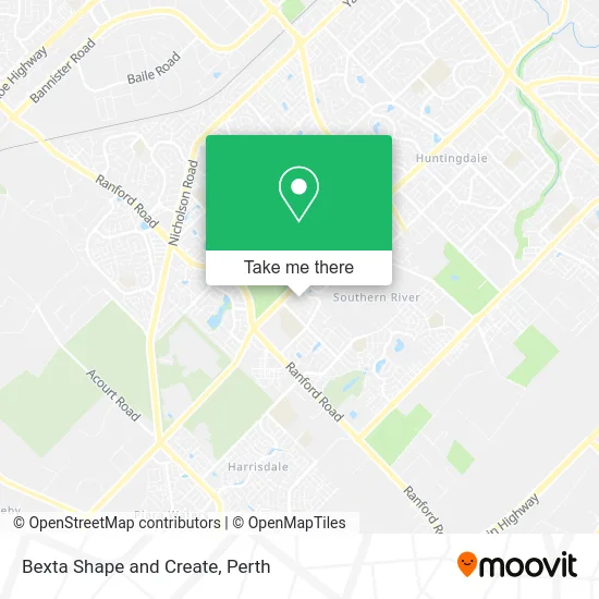
See Bexta Shape and Create, Southern River, on the map
Public Transit to Bexta Shape and Create in Southern River
Wondering how to get to Bexta Shape and Create in Southern River? Moovit helps you find the best way to get to Bexta Shape and Create with step-by-step directions from the nearest public transit station.
Moovit provides free maps and live directions to help you navigate through your city. View schedules, routes, timetables, and find out how long does it take to get to Bexta Shape and Create in real time.
Looking for the nearest stop or station to Bexta Shape and Create? Check out this list of stops closest to your destination: Furley Rd Providence Christian College; Amherst Rd After Warton Rd; Ranford Rd After Lakey St.
Bus: 208, 209, 517, 518, 214.
Want to see if there’s another route that gets you there at an earlier time? Moovit helps you find alternative routes or times. Get directions from and directions to Bexta Shape and Create easily from the Moovit App or Website.
We make riding to Bexta Shape and Create easy, which is why over 1.5 million users, including users in Southern River, trust Moovit as the best app for public transit. You don’t need to download an individual bus app or train app, Moovit is your all-in-one transit app that helps you find the best bus time or train time available.
For information on prices of bus and train, costs and ride fares to Bexta Shape and Create, please check the Moovit app.
Use the app to navigate to popular places including to the airport, hospital, stadium, grocery store, mall, coffee shop, school, college, and university.
Bexta Shape and Create Address: 7 Lycett Turn Southern River WA 6110 street in Southern River
- Brad Forest Guitar Music Lessons,
- Europedriving Holidays,
- Ampol,
- Nikiel's Custom,
- Key Credit,
- Mazaj Foods,
- Bronwyn Lunderstedt,
- Nectar Home Loans Finance Keith Doswell .Acl,
- Lakey Street Playground,
- Furley Road,
- Providence Christian College,
- Arts in Motion,
- PRB Renovations New Homes,
- Ethical Supports,
- Mechanic2go,
- Australia Post Parcel Lockers,
- Agha Juice Canning Vale,
- Simone Lee Creative,
- Natures Wok Canning Vale,
- Western Union
Places Near Bexta Shape and Create (Southern River)
- Optus Stadium, Burswood,
- McCallum Park, Victoria Park,
- Pelicaan Investment Ho, Bellevue,
- Hillarys Boat Harbour,
- Crown Perth Casino, Burswood,
- Yankee Mart, Baldivis,
- Westfield Carousel, Cannington,
- Karrinyup Shopping Centre, Karrinyup,
- Blue Boat House,
- Scitech, West Perth,
- Mount Hospital, Perth,
- Sir Charles Gairdner Hospital, Nedlands,
- Langley Park, Perth,
- Rac Arena, Perth,
- Fiona Stanley Hospital, Murdoch,
- Royal Perth Hospital, Perth,
- Perth Convention Exhibition Centre, Perth,
- Aqwa Aquarium, Hillarys,
- DFO, Perth Airport,
- IKEA, Innaloo
How to get to popular places in Perth with public transport
Get around Southern River by public transport!
Travelling around Southern River has never been so easy. See step by step directions as you travel to any attraction, street or major public transport station. View bus and train timetables, arrival times, service alerts and detailed routes on a map, so you know exactly how to get to anywhere in Southern River.
When travelling to any destination around Southern River use Moovit's Live Directions with Get Off Notifications to know exactly where and how far to walk, how long to wait for your line , and how many stops are left. Moovit will alert you when it’s time to get off — no need to constantly re-check whether yours is the next stop.
Wondering how to use public transport in Southern River or how to pay for public transport in Southern River? Moovit public transport app can help you navigate your way with public transport easily, and at minimum cost. It includes public transport fees, ticket prices, and costs. Looking for a map of Southern River public transport lines? Moovit public transport app shows all public transport maps in Southern River with all Bus, Train and Ferry routes and stops on an interactive map.
Perth has 3 transport type(s), including: Bus, Train and Ferry, operated by several transport agencies, including Transperth Rail, Transwa, Transperth Ferry, Transperth, TransBusselton, TransAlbany, TransGoldfields, TransEsperance, TransGeraldton, TransCarnarvon, TransHedland, TransKarratha, TransBunbury, Mandurah Bus Charter and TransBroome