Billesley Common stop - Thursday schedule
| Line | Direction | Time |
|---|---|---|
| 3 | Moor St Station | 04:52 |
| 3 | Moor St Station | 05:52 |
| 3 | Moor St Station | 06:21 |
| 3 | Moor St Station | 06:41 |
| 3 | Moor St Station | 06:59 |
| 3 | Moor St Station | 07:17 |
| 3 | Moor St Station | 07:36 |
| 3 | Moor St Station | 07:53 |
| 3 | Moor St Station | 08:11 |
| 3 | Moor St Station | 08:31 |
| 3 | Moor St Station | 08:53 |
| 3 | Moor St Station | 09:14 |
| 3 | Moor St Station | 09:34 |
| 3 | Moor St Station | 09:56 |
| 3 | Moor St Station | 10:16 |
| 3 | Moor St Station | 10:36 |
| 3 | Moor St Station | 10:56 |
| 3 | Moor St Station | 11:16 |
| 3 | Moor St Station | 11:36 |
| 3 | Moor St Station | 11:56 |
| 3 | Moor St Station | 12:16 |
| 3 | Moor St Station | 12:36 |
| 3 | Moor St Station | 12:55 |
| 3 | Moor St Station | 13:15 |
| 3 | Moor St Station | 13:44 |
Directions to Billesley Common stop with public transport
The following transport lines have routes that pass near Billesley Common
 Bus: 11A, 11C, 2, 3, 76.
- Train: WEST MIDLANDS RAILWAY.
How to get to Billesley Common stop by bus?
Click on the bus route to see step by step directions with maps, line arrival times and updated time schedules.
How to get to Billesley Common stop by train?
Click on the train route to see step by step directions with maps, line arrival times and updated time schedules.
Bus stops near Billesley Common stop
- Bondfield Rd, 1 min walk,
- Mayford Grove, 3 min walk,
- Swan Corner, 4 min walk,
- Hollybank Close, 10 min walk,
Train stations near Billesley Common station
- Hall Green, 10 min walk,
Bus lines to Billesley Common stop
- 2, Oxhill Rd,
- 3, Slade Lane,
- 11A, Shirley Road,
- 11C, Six Ways,
- 76, Addison Rd,
What are the nearest stations to Billesley Common?
The nearest stations to Billesley Common are:
- Bondfield Rd is 7 meters away, 1 min walk.
- Mayford Grove is 225 meters away, 3 min walk.
- Swan Corner is 257 meters away, 4 min walk.
- Hall Green is 722 meters away, 10 min walk.
- Hollybank Close is 773 meters away, 10 min walk.
Which bus lines stop near Billesley Common?
These bus lines stop near Billesley Common: 11A, 11C, 2, 3.
Which train line stops near Billesley Common?
WEST MIDLANDS RAILWAY (Whitlocks End)
What’s the nearest train station to Billesley Common?
The nearest train station to Billesley Common is Hall Green. It’s a 10 min walk away.
What’s the nearest bus station to Billesley Common?
The nearest bus station to Billesley Common is Bondfield Rd. It’s a 1 min walk away.
What time is the first train to Billesley Common?
The WEST MIDLANDS RAILWAY is the first train that goes to Billesley Common. It stops nearby at 05:50.
What time is the last train to Billesley Common?
The WEST MIDLANDS RAILWAY is the last train that goes to Billesley Common. It stops nearby at 23:55.
What time is the first bus to Billesley Common?
The 11C is the first bus that goes to Billesley Common. It stops nearby at 04:13.
What time is the last bus to Billesley Common?
The 2 is the last bus that goes to Billesley Common. It stops nearby at 00:25.
Billesley Common station
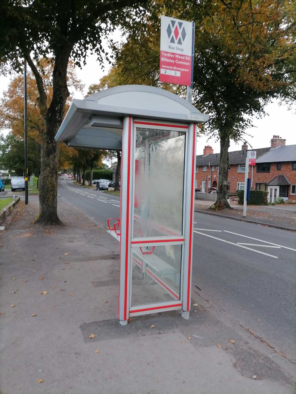 Taken by Abderrahim A.
See Billesley Common stop on the map
Public transport to Billesley Common stop (ID: nwmgmgdm)
Looking for directions to Billesley Common in Billesley, United Kingdom?
Download the Moovit App to find the current schedule and step-by-step directions for Bus or Train routes that pass through Billesley Common.
Looking for the nearest stops closest to Billesley Common ? Check out this list of closest stops to your destination: Bondfield Rd; Mayford Grove; Swan Corner; Hall Green; Hollybank Close.
Bus: 11A, 11C, 2, 3, 76.Train: WEST MIDLANDS RAILWAY.
We make riding on public transit to Billesley Common easy, which is why over 1.5 million users, including users in Billesley trust Moovit as the best app for public transit.
Use the app to navigate to popular places including to the airport, hospital, stadium, grocery store, mall, coffee shop, school, college, and university.
Billesley Common stop’s code is nwmgmgdm
The first line to this stop is 3, at 04:52, and the last line is 3 at 23:26.
This stop serves National Express West Midlands’s lines

- Bondfield Rd,
- Mayford Grove,
- Swan Corner,
- Hollybank Close
Bus stops near Billesley Common stop
- Hall Green
Train station near Billesley Common station
- Polesworth School,
- Kidderminster,
- Mary Stevens Park,
- Washwood Heath Academy,
- Cranmore Avenue,
- Berkswell,
- Hagley- Little Chef- Cross Keys Shelter,
- Perry Barr,
- Gaol Square,
- Walstead Rd,
- Dunster Rd,
- Vale Village,
- Tunnel St,
- Walsall St,
- Hillman Way,
- Clopton Crescent,
- Wolverhampton,
- Hamble Close,
- Blood & Transplant Centre,
- Craven Arms
Popular public transport stations in Billesley
Get around Billesley by public transport!
Travelling around Billesley has never been so easy. See step by step directions as you travel to any attraction, street or major public transport station. View bus and train timetables, arrival times, service alerts and detailed routes on a map, so you know exactly how to get to anywhere in Billesley.
When travelling to any destination around Billesley use Moovit's Live Directions with Get Off Notifications to know exactly where and how far to walk, how long to wait for your line , and how many stops are left. Moovit will alert you when it’s time to get off — no need to constantly re-check whether yours is the next stop.
Wondering how to use public transport in Billesley or how to pay for public transport in Billesley? Moovit public transport app can help you navigate your way with public transport easily, and at minimum cost. It includes public transport fees, ticket prices, and costs. Looking for a map of Billesley public transport lines? Moovit public transport app shows all public transport maps in Billesley with all Bus, Train and Light rail routes and stops on an interactive map.
West Midlands has 3 transport type(s), including: Bus, Train and Light rail, operated by several transport agencies, including National Express West Midlands, National Express Coventry, National Express, Diamond Bus, Arriva Midlands, Stagecoach Midlands, West Midlands Metro, Stagecoach West, Stagecoach South Wales, First Potteries, First Worcestershire, LandFlight, trentbarton, D & G Bus and Flexibus