Bramhall Green stop - Saturday schedule
| Line | Direction | Time |
|---|---|---|
| 378 | Stockport Interchange | 07:54 |
| 379 | Stockport Interchange | 08:26 |
| 378 | Stockport Interchange | 08:52 |
| 379 | Stockport Interchange | 09:22 |
| 378 | Stockport Interchange | 09:52 |
| 379 | Stockport Interchange | 10:22 |
| 378 | Stockport Interchange | 10:52 |
| 379 | Stockport Interchange | 11:22 |
| 378 | Stockport Interchange | 11:52 |
| 379 | Stockport Interchange | 12:22 |
| 378 | Stockport Interchange | 12:52 |
| 379 | Stockport Interchange | 13:22 |
| 378 | Stockport Interchange | 13:52 |
| 379 | Stockport Interchange | 14:22 |
| 378 | Stockport Interchange | 14:52 |
| 379 | Stockport Interchange | 15:22 |
| 378 | Stockport Interchange | 15:52 |
| 379 | Stockport Interchange | 16:22 |
| 378 | Stockport Interchange | 16:52 |
| 379 | Stockport Interchange | 17:22 |
| 378 | Stockport Interchange | 17:52 |
| 379 | Stockport Interchange | 18:18 |
| 378 | Stockport Interchange | 18:47 |
| 378A | Stockport Interchange | 19:11 |
| 378A | Stockport Interchange | 20:11 |
Directions to Bramhall Green stop (Stockport) with public transport
The following transport lines have routes that pass near Bramhall Green
 Bus: 378, 379, 378A, 731, 751.
- Train: NORTHERN, EAST MIDLANDS RAILWAY.
How to get to Bramhall Green stop by bus?
Click on the bus route to see step by step directions with maps, line arrival times and updated time schedules.
How to get to Bramhall Green stop by train?
Click on the train route to see step by step directions with maps, line arrival times and updated time schedules.
Bus stops near Bramhall Green stop in Stockport
- Bramhall Green, 2 min walk,
- Valley Road, 3 min walk,
- Headlands Road, 6 min walk,
- Handley Road, 10 min walk,
Train stations near Bramhall Green station in Stockport
- Hazel Grove, 50 min walk,
Bus lines to Bramhall Green stop in Stockport
- 378, Stockport Interchange,
- 378A, Stockport Interchange,
- 379, Stockport Interchange,
- 731, Sainsbury's,
- 751, Loreto Grammar School,
- 768, St Ambrose College,
- 815, St James' School,
- 852, Heathside Road,
- 855, Bramhall High School,
- 876, Bramhall High School,
- 768, Sainsbury's,
- 843, Lyndhurst Avenue,
- 874, Boundary Bridge,
- 843, Harrytown High School,
- 374, Highfield Road,
What are the nearest stations to Bramhall Green?
The nearest stations to Bramhall Green are:
- Bramhall Green is 65 meters away, 2 min walk.
- Valley Road is 189 meters away, 3 min walk.
- Headlands Road is 449 meters away, 6 min walk.
- Handley Road is 745 meters away, 10 min walk.
- Hazel Grove is 3892 meters away, 50 min walk.
Which bus lines stop near Bramhall Green?
These bus lines stop near Bramhall Green: 378, 379.
Which train line stops near Bramhall Green?
NORTHERN (Stoke-On-Trent)
What’s the nearest bus station to Bramhall Green in Stockport?
The nearest bus station to Bramhall Green in Stockport is Bramhall Green. It’s a 2 min walk away.
What time is the first train to Bramhall Green in Stockport?
The NORTHERN is the first train that goes to Bramhall Green in Stockport. It stops nearby at 06:03.
What time is the last train to Bramhall Green in Stockport?
The NORTHERN is the last train that goes to Bramhall Green in Stockport. It stops nearby at 23:48.
What time is the first bus to Bramhall Green in Stockport?
The 378 is the first bus that goes to Bramhall Green in Stockport. It stops nearby at 05:48.
What time is the last bus to Bramhall Green in Stockport?
The 378A is the last bus that goes to Bramhall Green in Stockport. It stops nearby at 23:12.
Bramhall Green station
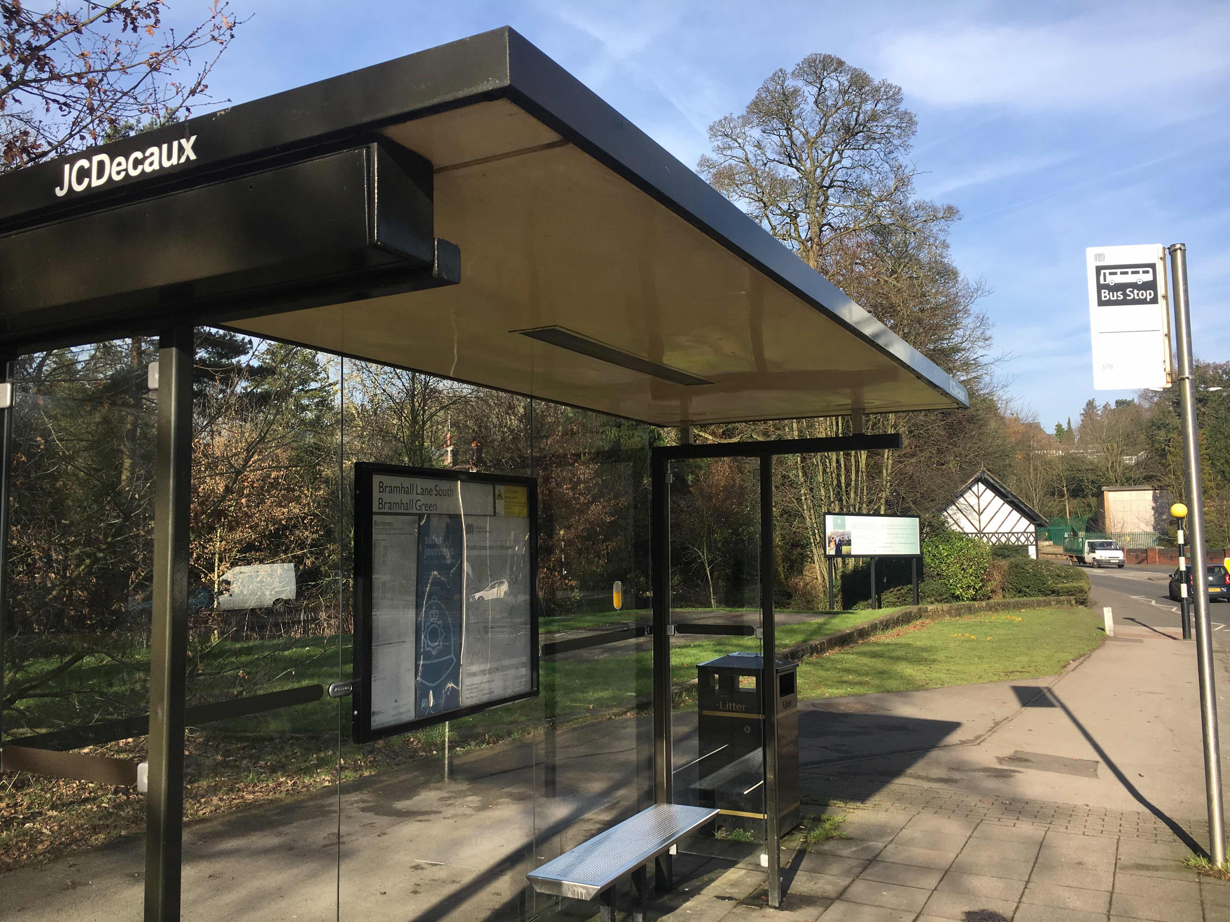 Taken by Anonymous
See Bramhall Green stop, Stockport, on the map
Public transport to Bramhall Green stop (ID: MANJAPAT) in Stockport
Looking for directions to Bramhall Green in Stockport, United Kingdom?
Download the Moovit App to find the current schedule and step-by-step directions for Bus or Train routes that pass through Bramhall Green.
Looking for the nearest stops closest to Bramhall Green ? Check out this list of closest stops to your destination: Bramhall Green; Valley Road; Headlands Road; Handley Road; Hazel Grove.
Bus: 378, 379, 378A, 731, 751, 768, 843, 874, 843, 374.Train: NORTHERN, EAST MIDLANDS RAILWAY.
We make riding on public transit to Bramhall Green easy, which is why over 1.5 million users, including users in Stockport trust Moovit as the best app for public transit.
Use the app to navigate to popular places including to the airport, hospital, stadium, grocery store, mall, coffee shop, school, college, and university.
Bramhall Green stop’s code is MANJAPAT
The first line to this stop is 378, at 07:54, and the last line is 378A at 23:11.
This stop serves Bee Network, Bee Network, Bee Network and Bee Network’s lines
- Bramhall Green,
- Valley Road,
- Headlands Road,
- Handley Road
Bus stops near Bramhall Green stop
- Hazel Grove
Train station near Bramhall Green station
- Salford Crescent Rail Station,
- Concourse,
- Newton Street,
- Ribby Hall Entrance,
- Belvedere Road,
- Wythenshawe Park (Manchester Metrolink),
- Grimshaw Street,
- Timperley (Manchester Metrolink),
- Walton Prison,
- Bents Garden Centre,
- Gorton Monastery,
- Longford Park,
- Sainsbury's,
- Lindle Lane,
- Plumpton Street,
- St Peter's Square (Manchester Metrolink),
- Anchorage (Manchester Metrolink),
- Butts Bridge,
- Delph Cross Roads,
- Rising Bridge Road
Popular public transport stations in Stockport
Get around Stockport by public transport!
Travelling around Stockport has never been so easy. See step by step directions as you travel to any attraction, street or major public transport station. View bus and train timetables, arrival times, service alerts and detailed routes on a map, so you know exactly how to get to anywhere in Stockport.
When travelling to any destination around Stockport use Moovit's Live Directions with Get Off Notifications to know exactly where and how far to walk, how long to wait for your line , and how many stops are left. Moovit will alert you when it’s time to get off — no need to constantly re-check whether yours is the next stop.
Wondering how to use public transport in Stockport or how to pay for public transport in Stockport? Moovit public transport app can help you navigate your way with public transport easily, and at minimum cost. It includes public transport fees, ticket prices, and costs. Looking for a map of Stockport public transport lines? Moovit public transport app shows all public transport maps in Stockport with all Bus, Train, Light rail and Ferry routes and stops on an interactive map.
North West has 4 transport type(s), including: Bus, Train, Light rail and Ferry, operated by several transport agencies, including Arriva North West, Stagecoach Merseyside and South Lancashire, Stagecoach Cumbria and North Lancashire, First Halifax, National Express, Warrington's Own Buses, First Potteries, Rosso, Blackpool Transport, The Blackburn Bus Company, The Burnley Bus Company, Vision Bus, National Rail, Huyton Travel and Stotts Tours