How to get to Brigadoon by bus?
Click on the bus route to see step by step directions with maps, line arrival times and updated time schedules.
From Margaret River Chocolate Factory, West Swan
61 minFrom 8pag Caversham, Caversham
84 minFrom Guildford Grammar School, Guildford
45 minFrom Lilac Hill Park, Caversham
61 minFrom St John of God Midland Hospital, Midland
31 minFrom Pelicaan Investment Ho, Bellevue
49 minFrom Motor Museum of West, Whiteman
53 minFrom Midland Gate Shopping Centre Food Court, Midland
21 minFrom JSC Investments Pty, Bellevue
53 min
Bus stops near Brigadoon in Millendon
What are the nearest stations to Brigadoon?
The nearest stations to Brigadoon are:
- Great Northern Hwy After Maisie St is 162 meters away, 3 min walk.
- Railway Cr Before Beryl Av is 841 meters away, 11 min walk.
Which bus lines stop near Brigadoon?
These bus lines stop near Brigadoon: 310, 312.
What’s the nearest bus station to Brigadoon in Millendon?
The nearest bus station to Brigadoon in Millendon is Great Northern Hwy After Maisie St. It’s a 3 min walk away.
What time is the first bus to Brigadoon in Millendon?
The 310 is the first bus that goes to Brigadoon in Millendon. It stops nearby at 06:19.
What time is the last bus to Brigadoon in Millendon?
The 310 is the last bus that goes to Brigadoon in Millendon. It stops nearby at 18:50.
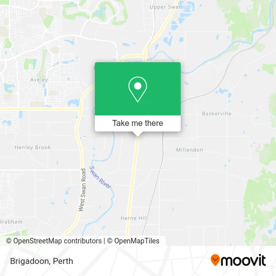
See Brigadoon, Millendon, on the map
Public Transit to Brigadoon in Millendon
Wondering how to get to Brigadoon in Millendon? Moovit helps you find the best way to get to Brigadoon with step-by-step directions from the nearest public transit station.
Moovit provides free maps and live directions to help you navigate through your city. View schedules, routes, timetables, and find out how long does it take to get to Brigadoon in real time.
Looking for the nearest stop or station to Brigadoon? Check out this list of stops closest to your destination: Great Northern Hwy After Maisie St; Railway Cr Before Beryl Av.
Bus: 310, 312.
Want to see if there’s another route that gets you there at an earlier time? Moovit helps you find alternative routes or times. Get directions from and directions to Brigadoon easily from the Moovit App or Website.
We make riding to Brigadoon easy, which is why over 1.5 million users, including users in Millendon, trust Moovit as the best app for public transit. You don’t need to download an individual bus app or train app, Moovit is your all-in-one transit app that helps you find the best bus time or train time available.
For information on prices of bus and train, costs and ride fares to Brigadoon, please check the Moovit app.
Use the app to navigate to popular places including to the airport, hospital, stadium, grocery store, mall, coffee shop, school, college, and university.
Location: Millendon, Perth
- Makarios Estate Nursery & Apiary,
- Rangeview Vineyards,
- Swan Valley Speed Humps,
- Super Clean Service,
- Amberches Spirits Distillery,
- Swan Valley Fresh Fruit,
- Prime Electrical Contracting Pty,
- Bogunovich Signs and Electrics,
- Brigadoon Produce,
- Belvoir Amphitheatre,
- Doggy Day Care Wookie Dogs Perth,
- Penny Garden Restaurant,
- Great Southern Distilling Company,
- Belvoir Amphitheatre,
- The Swan Valley,
- Relationshipolgy,
- Swan Street Vineyard,
- Lions Den Australia,
- Swan Valley Yoga & Coffee Shop,
- Caravino Winery
Places Near Brigadoon (Millendon)
- Sir Charles Gairdner Hospital, Nedlands,
- Rac Arena, Perth,
- Blue Boat House,
- Aqwa Aquarium, Hillarys,
- Perth Convention Exhibition Centre, Perth,
- Karrinyup Shopping Centre, Karrinyup,
- IKEA, Innaloo,
- Mount Hospital, Perth,
- Pelicaan Investment Ho, Bellevue,
- Royal Perth Hospital, Perth,
- DFO, Perth Airport,
- Optus Stadium, Burswood,
- Fiona Stanley Hospital, Murdoch,
- Hillarys Boat Harbour,
- McCallum Park, Victoria Park,
- Scitech, West Perth,
- Langley Park, Perth,
- Yankee Mart, Baldivis,
- Crown Perth Casino, Burswood,
- Westfield Carousel, Cannington
How to get to popular places in Perth with public transport
Get around Millendon by public transport!
Travelling around Millendon has never been so easy. See step by step directions as you travel to any attraction, street or major public transport station. View bus and train timetables, arrival times, service alerts and detailed routes on a map, so you know exactly how to get to anywhere in Millendon.
When travelling to any destination around Millendon use Moovit's Live Directions with Get Off Notifications to know exactly where and how far to walk, how long to wait for your line , and how many stops are left. Moovit will alert you when it’s time to get off — no need to constantly re-check whether yours is the next stop.
Wondering how to use public transport in Millendon or how to pay for public transport in Millendon? Moovit public transport app can help you navigate your way with public transport easily, and at minimum cost. It includes public transport fees, ticket prices, and costs. Looking for a map of Millendon public transport lines? Moovit public transport app shows all public transport maps in Millendon with all Bus, Train and Ferry routes and stops on an interactive map.
Perth has 3 transport type(s), including: Bus, Train and Ferry, operated by several transport agencies, including Transperth Rail, Transwa, Transperth Ferry, Transperth, TransBusselton, TransAlbany, TransGoldfields, TransEsperance, TransGeraldton, TransCarnarvon, TransHedland, TransKarratha, TransBunbury, Mandurah Bus Charter and TransBroome