Bus Station stop - Tuesday schedule
| Line | Direction | Time |
|---|---|---|
| 12E | Lichfield Bus Station | 05:29 |
| 828 | Lichfield Bus Station | 06:11 |
| 828 | Stafford Town Centre, Gaol Square | 06:16 |
| 12E | Lichfield Bus Station | 06:17 |
| 828 | Lichfield Bus Station | 06:41 |
| 826 | Stafford Town Centre, Gaol Square | 06:41 |
| X12 | Lichfield Bus Station | 06:47 |
| X12 | Burton | 06:50 |
| 12E | Lichfield Bus Station | 06:53 |
| 12 | Burton | 06:58 |
| 826 | Lichfield Bus Station | 07:11 |
| 828 | Stafford Town Centre, Gaol Square | 07:21 |
| X12 | Lichfield Bus Station | 07:23 |
| X12 | Burton | 07:30 |
| 33 | Sandflats Street | 07:30 |
| 828 | Lichfield Bus Station | 07:46 |
| 826 | Stafford Town Centre, Gaol Square | 07:51 |
| 12E | Lichfield Bus Station | 07:54 |
| 33 | Bus Station | 07:55 |
| X12 | Lichfield Bus Station | 08:05 |
| 12 | Burton | 08:05 |
| 33 | Sandflats Street | 08:05 |
| X12 | Burton | 08:10 |
| 826 | Lichfield Bus Station | 08:21 |
| 36 | The Friary School | 08:23 |
Directions to Bus Station (Stowe) with public transport
The following transport lines have routes that pass near Bus Station
 Bus: 36A, 60, X3, X66, 31.
- Train: WEST MIDLANDS RAILWAY, AVANTI WEST COAST.
How to get to Bus Station by bus?
Click on the bus route to see step by step directions with maps, line arrival times and updated time schedules.
How to get to Bus Station by train?
Click on the train route to see step by step directions with maps, line arrival times and updated time schedules.
Bus stops near Bus Station in Stowe
- Bus Station, 1 min walk,
- Lichfield City Railway Station, 2 min walk,
- Lichfield City, 2 min walk,
- Frog Lane, 5 min walk,
- Maxwell Close, 5 min walk,
- Cherry Orchard, 6 min walk,
Train station near Bus Station in Stowe
- Lichfield Trent Valley, 13 min walk,
Bus lines to Bus Station in Stowe
- 31, Bus Station,
- 32, Bus Station,
- 804, Rodbaston College,
- 8, St. Matthew's - Stowe,
- 60, Stowe - Cannock South,
- 61, Chasetown - Stowe,
- 62, Cannock South - Stowe,
- TA2, Stonydelph Pennymoor Rd,
- 31, Lichfield Bus Station,
- 32, Lichfield Bus Station,
- 3, Bus Station,
- X3, The Square Peg,
- 36, Lichfield Bus Station,
- 36A, Walsall Bus Station,
- X65, Corporation St,
- WEST MIDLANDS RAILWAY, Birmingham New Street,
- 33, Stowe - Alrewas & Fradley,
- 826, Forebridge - Stowe,
- 828, Stowe - Forebridge,
- 765, Bus Station,
What are the nearest stations to Bus Station?
The nearest stations to Bus Station are:
- Bus Station is 18 meters away, 1 min walk.
- Lichfield City Railway Station is 139 meters away, 2 min walk.
- Lichfield City is 144 meters away, 2 min walk.
- Frog Lane is 325 meters away, 5 min walk.
- Maxwell Close is 376 meters away, 5 min walk.
- Cherry Orchard is 387 meters away, 6 min walk.
- Lichfield Trent Valley is 957 meters away, 13 min walk.
Which bus lines stop near Bus Station?
These bus lines stop near Bus Station: 36A, 60, X3, X66.
Which train line stops near Bus Station?
WEST MIDLANDS RAILWAY (Lichfield Trent Valley High Level)
What’s the nearest train station to Bus Station in Stowe?
The nearest train station to Bus Station in Stowe is Lichfield Trent Valley. It’s a 13 min walk away.
What’s the nearest bus station to Bus Station in Stowe?
The nearest bus station to Bus Station in Stowe is Bus Station. It’s a 1 min walk away.
What time is the first train to Bus Station in Stowe?
The WEST MIDLANDS RAILWAY is the first train that goes to Bus Station in Stowe. It stops nearby at 05:49.
What time is the last train to Bus Station in Stowe?
The WEST MIDLANDS RAILWAY is the last train that goes to Bus Station in Stowe. It stops nearby at 23:47.
What time is the first bus to Bus Station in Stowe?
The 60 is the first bus that goes to Bus Station in Stowe. It stops nearby at 05:56.
What time is the last bus to Bus Station in Stowe?
The 60 is the last bus that goes to Bus Station in Stowe. It stops nearby at 23:11.
Bus Station station
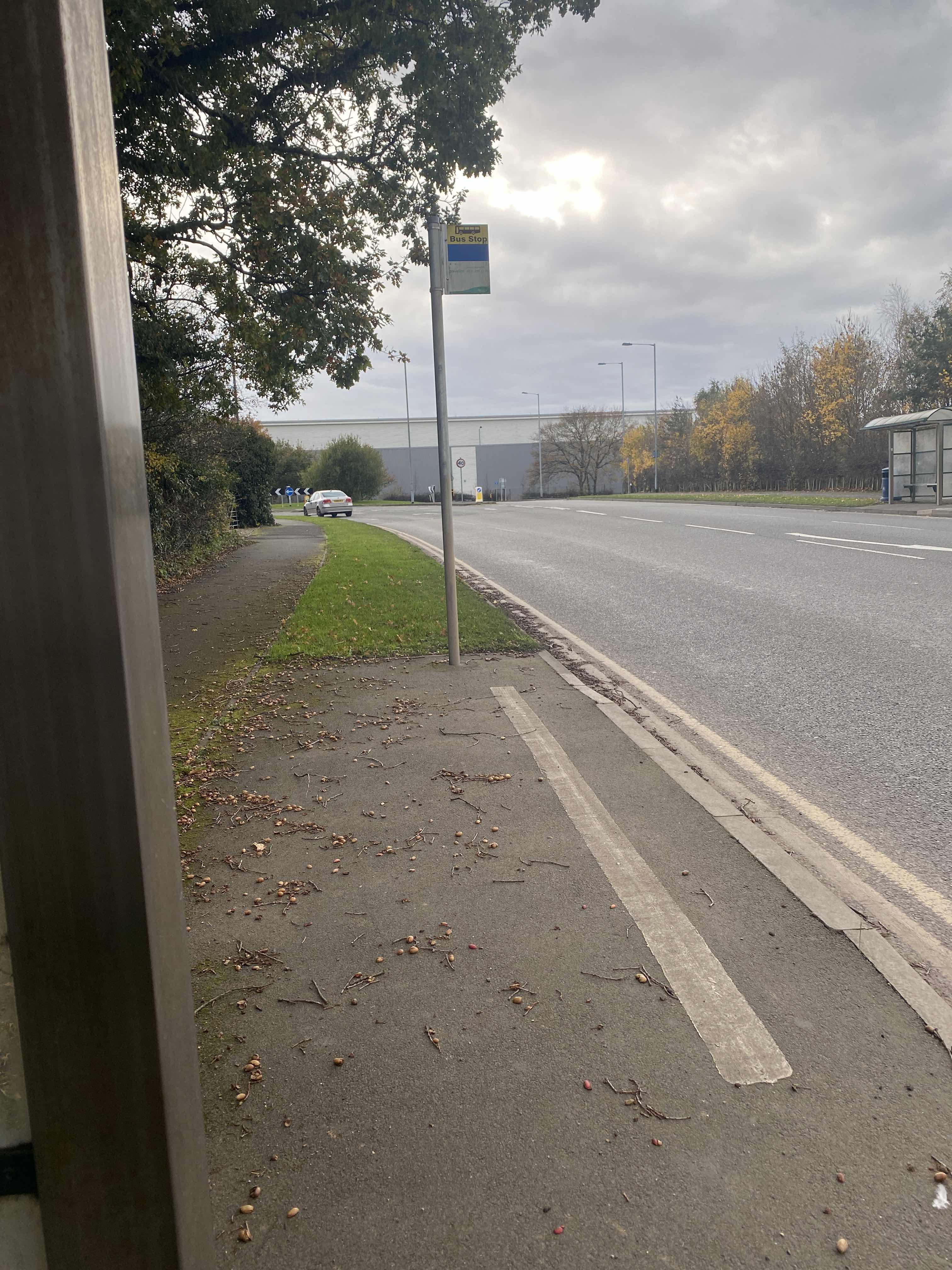 Taken by Anonymous
See Bus Station, Stowe, on the map
Public transport to Bus Station stop (ID: stadmpda) in Stowe
Looking for directions to Bus Station in Stowe, United Kingdom?
Download the Moovit App to find the current schedule and step-by-step directions for Bus or Train routes that pass through Bus Station.
Looking for the nearest stops closest to Bus Station ? Check out this list of closest stops to your destination: Bus Station; Lichfield City Railway Station; Lichfield City; Frog Lane; Maxwell Close; Cherry Orchard; Lichfield Trent Valley.
Bus: 36A, 60, X3, X66, 31, 32, 804, 8, 61, 62, 3, 36, TA2, 31, 32.Train: WEST MIDLANDS RAILWAY, AVANTI WEST COAST.
We make riding on public transit to Bus Station easy, which is why over 1.5 million users, including users in Stowe trust Moovit as the best app for public transit.
Use the app to navigate to popular places including to the airport, hospital, stadium, grocery store, mall, coffee shop, school, college, and university.
Bus Station stop’s code is stadmpda
The first line to this stop is 12E, at 05:29, and the last line is 12E at 22:17.
A5127, Lichfield, England, United Kingdom
This stop serves Chaserider, Diamond Bus East Midlands, Bus Link, Select Bus Services and South Staffs Coach Hire’s lines
- Bus Station,
- Lichfield City Railway Station,
- Lichfield City,
- Frog Lane,
- Maxwell Close,
- Cherry Orchard
Bus stops near Bus Station
- Lichfield Trent Valley
Train station near Bus Station
- Portway Rd,
- Mary Stevens Park,
- Abbey Stadium,
- Hamble Close,
- Moorland Road,
- Warwick Parkway,
- Comer Road,
- George & Dragon,
- Birmingham Snow Hill,
- Nicholas Chamberlaine School,
- Cateswell Rd,
- Molineux Stadium,
- Cargo Terminal,
- Little Aston Hall Drive,
- Grange Rd,
- Sainsburys,
- Swan Shopping Centre,
- Middlemore Road,
- Watling Street,
- Wolverhampton
Popular public transport stations in Stowe
Get around Stowe by public transport!
Travelling around Stowe has never been so easy. See step by step directions as you travel to any attraction, street or major public transport station. View bus and train timetables, arrival times, service alerts and detailed routes on a map, so you know exactly how to get to anywhere in Stowe.
When travelling to any destination around Stowe use Moovit's Live Directions with Get Off Notifications to know exactly where and how far to walk, how long to wait for your line , and how many stops are left. Moovit will alert you when it’s time to get off — no need to constantly re-check whether yours is the next stop.
Wondering how to use public transport in Stowe or how to pay for public transport in Stowe? Moovit public transport app can help you navigate your way with public transport easily, and at minimum cost. It includes public transport fees, ticket prices, and costs. Looking for a map of Stowe public transport lines? Moovit public transport app shows all public transport maps in Stowe with all Bus, Train and Light rail routes and stops on an interactive map.
West Midlands has 3 transport type(s), including: Bus, Train and Light rail, operated by several transport agencies, including National Express West Midlands, National Express Coventry, National Express, Diamond Bus, Arriva Midlands, Stagecoach Midlands, West Midlands Metro, Stagecoach West, Stagecoach South Wales, First Potteries, First Worcestershire, LandFlight, trentbarton, D & G Bus and Flexibus