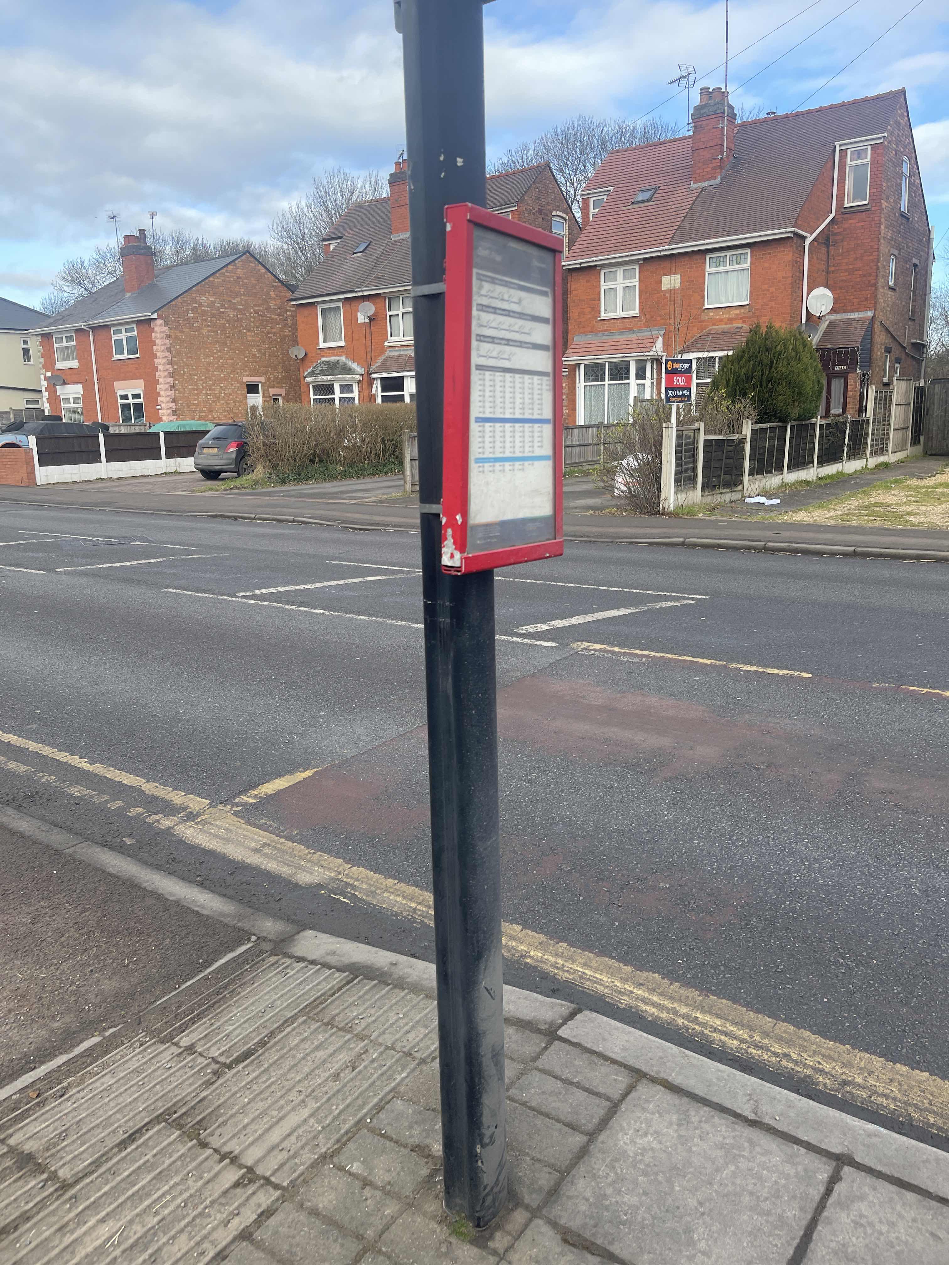
Croft Pool stop - Wednesday schedule
| Line | Direction | Time |
|---|---|---|
| 56 | Coventry Sainsbury's | 06:00 |
| 56 | Coventry Sainsbury's | 06:25 |
| 56 | Coventry Sainsbury's | 06:55 |
| 56 | Coventry Sainsbury's | 07:20 |
| 57 | Keresley Beaumont Road | 07:22 |
| 56 | Coventry Sainsbury's | 07:45 |
| 52 | Severn Rd | 07:55 |
| 56 | Coventry Sainsbury's | 08:05 |
| 57 | Coventry Sainsbury's | 08:18 |
| 56 | Coventry Sainsbury's | 08:35 |
| 56 | Coventry Sainsbury's | 09:05 |
| 56 | Coventry Sainsbury's | 09:27 |
| 56 | Coventry Sainsbury's | 09:50 |
| 57 | Coventry Sainsbury's | 10:10 |
| 56 | Coventry Sainsbury's | 10:30 |
| 56 | Coventry Sainsbury's | 10:50 |
| 57 | Coventry Sainsbury's | 11:10 |
| 56 | Coventry Sainsbury's | 11:30 |
| 56 | Coventry Sainsbury's | 11:52 |
| 57 | Coventry Sainsbury's | 12:10 |
| 56 | Coventry Sainsbury's | 12:30 |
| 56 | Coventry Sainsbury's | 12:58 |
| 57 | Coventry Sainsbury's | 13:10 |
| 56 | Coventry Sainsbury's | 13:30 |
| 56 | Coventry Sainsbury's | 13:50 |
Directions to Croft Pool stop (Bede) with public transport
The following transport lines have routes that pass near Croft Pool
 Bus: 20, 56, 57, 79A, B1.
- Train: WEST MIDLANDS RAILWAY.
How to get to Croft Pool stop by bus?
Click on the bus route to see step by step directions with maps, line arrival times and updated time schedules.
How to get to Croft Pool stop by train?
Click on the train route to see step by step directions with maps, line arrival times and updated time schedules.
Bus stops near Croft Pool stop in Bede
- Croft Pool, 2 min walk,
- Harrison Crescent, 4 min walk,
- Newtown Road, 6 min walk,
Train stations near Croft Pool station in Bede
- Bedworth Station, 36 min walk,
Bus lines to Croft Pool stop in Bede
- 56, Bedworth Carsal Close,
- 57, Coventry Sainsbury's,
- 79A, Nuneaton Bus Station B3,
- B1, Iceland,
- 78A, Nuneaton North Warwickshire College,
- 79, Narrow Boat Close,
What are the nearest stations to Croft Pool?
The nearest stations to Croft Pool are:
- Croft Pool stop is 90 meters away, 2 min walk.
- Harrison Crescent stop is 292 meters away, 4 min walk.
- Newtown Road stop is 426 meters away, 6 min walk.
- Bedworth Station is 2815 meters away, 36 min walk.
Which bus lines stop near Croft Pool?
These bus lines stop near Croft Pool: 20, 56.
Which train line stops near Croft Pool?
WEST MIDLANDS RAILWAY (Nuneaton)
What’s the nearest bus station to Croft Pool in Bede?
The nearest bus station to Croft Pool in Bede is Croft Pool. It’s a 2 min walk away.
What time is the first train to Croft Pool in Bede?
The WEST MIDLANDS RAILWAY is the first train that goes to Croft Pool in Bede. It stops nearby at 10:04.
What time is the last train to Croft Pool in Bede?
The WEST MIDLANDS RAILWAY is the last train that goes to Croft Pool in Bede. It stops nearby at 22:50.
What time is the first bus to Croft Pool in Bede?
The 56 is the first bus that goes to Croft Pool in Bede. It stops nearby at 09:07.
What time is the last bus to Croft Pool in Bede?
The 56 is the last bus that goes to Croft Pool in Bede. It stops nearby at 18:18.
Croft Pool station
 Taken by Anonymous
See Croft Pool stop, Bede, on the map
Public transport to Croft Pool stop (ID: waramjdt) in Bede
Looking for directions to Croft Pool in Bede, United Kingdom?
Download the Moovit App to find the current schedule and step-by-step directions for Bus or Train routes that pass through Croft Pool.
Looking for the nearest stops closest to Croft Pool ? Check out this list of closest stops to your destination: Croft Pool; Harrison Crescent; Newtown Road; Bedworth Station.
Bus: 20, 56, 57, 79A, B1, 78A, 79.Train: WEST MIDLANDS RAILWAY.
We make riding on public transit to Croft Pool easy, which is why over 1.7 billion users, including users in Bede trust Moovit as the best app for public transit.
Use the app to navigate to popular places including to the airport, hospital, stadium, grocery store, mall, coffee shop, school, college, and university.
Croft Pool stop’s code is waramjdt
The first line to this stop is 56, at 06:00, and the last line is 56 at 22:06.
This stop serves Stagecoach Midlands and National Express Coventry’s lines
- Croft Pool,
- Harrison Crescent,
- Newtown Road
Bus stops near Croft Pool stop
- Bedworth Station
Train station near Croft Pool station
- Bromsgrove Street,
- Golden Hillock Road,
- Meadowsweet Avenue,
- Blythe Gate,
- Perry Barr Rail Station,
- Houston Way,
- Maryland Avenue,
- Gorsy Road,
- Sutton Coldfield,
- Mackadown Lane,
- Oak Park,
- Shenley Lane,
- St Andrew's Stadium,
- Birmingham New Street,
- West Heath Hospital,
- Industrial Estate,
- Oakfield Road,
- Rising Sun Island,
- Lockwood Road,
- Portland Road
Popular public transport stations in Bede
Get around Bede by public transport!
Travelling around Bede has never been so easy. See step by step directions as you travel to any attraction, street or major public transport station. View bus and train timetables, arrival times, service alerts and detailed routes on a map, so you know exactly how to get to anywhere in Bede.
When travelling to any destination around Bede use Moovit's Live Directions with Get Off Notifications to know exactly where and how far to walk, how long to wait for your line , and how many stops are left. Moovit will alert you when it’s time to get off — no need to constantly re-check whether yours is the next stop.
Wondering how to use public transport in Bede or how to pay for public transport in Bede? Moovit public transport app can help you navigate your way with public transport easily, and at minimum cost. It includes public transport fees, ticket prices, and costs. Looking for a map of Bede public transport lines? Moovit public transport app shows all public transport maps in Bede with all Bus, Train and Light rail routes and stops on an interactive map.
West Midlands has 3 transport type(s), including: Bus, Train and Light rail, operated by several transport agencies, including National Express West Midlands, National Express Coventry, National Express, Diamond Bus, Arriva Midlands, Stagecoach Midlands, West Midlands Metro, Stagecoach West, Stagecoach South Wales, First Potteries, First Worcestershire, LandFlight, trentbarton, D & G Bus and Flexibus