Directions to Dei One Projects (Mandurah) with public transport
The following transport lines have routes that pass near Dei One Projects
 Bus: 584, 588, 589, 645.
- Train: MANDURAH LINE.
How to get to Dei One Projects by bus?
Click on the bus route to see step by step directions with maps, line arrival times and updated time schedules.
From Larkhill Sporting Complex, Port Kennedy
73 minFrom Amaze Miniature Park, Barragup
37 minFrom Singleton WA Australia, Singleton
48 minFrom Mandurah Baptist College, Lakelands
44 minFrom Austin Cove Baptist College, West Pinjarra
90 minFrom Pinjarra Park Racecourse, Meelon
72 minFrom Port Kennedy, Port Kennedy
79 minFrom Secret Harbour, Secret Harbour
75 minFrom Lakelands Shopping Centre, Lakelands
36 minFrom Truckers Enterprises P, Port Kennedy
71 min
How to get to Dei One Projects by train?
Click on the train route to see step by step directions with maps, line arrival times and updated time schedules.
Bus stops near Dei One Projects in Mandurah
Bus lines to Dei One Projects in Mandurah
What are the nearest stations to Dei One Projects?
The nearest stations to Dei One Projects are:
- Peel St After Rockford St is 182 meters away, 3 min walk.
- Peel St Before Sutton St is 192 meters away, 3 min walk.
- Sutton St Mandurah Central is 1292 meters away, 17 min walk.
Which bus lines stop near Dei One Projects?
These bus lines stop near Dei One Projects: 584, 588, 589.
Which train line stops near Dei One Projects?
MANDURAH LINE (Mandurah Stn)
What’s the nearest bus station to Dei One Projects in Mandurah?
The nearest bus stations to Dei One Projects in Mandurah are Peel St After Rockford St and Peel St Before Sutton St. The closest one is a 3 min walk away.
What time is the first bus to Dei One Projects in Mandurah?
The 584 is the first bus that goes to Dei One Projects in Mandurah. It stops nearby at 05:04.
What time is the last bus to Dei One Projects in Mandurah?
The 589 is the last bus that goes to Dei One Projects in Mandurah. It stops nearby at 21:12.
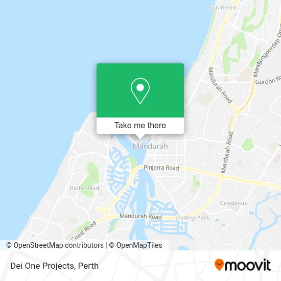
See Dei One Projects, Mandurah, on the map
Public Transit to Dei One Projects in Mandurah
Wondering how to get to Dei One Projects in Mandurah? Moovit helps you find the best way to get to Dei One Projects with step-by-step directions from the nearest public transit station.
Moovit provides free maps and live directions to help you navigate through your city. View schedules, routes, timetables, and find out how long does it take to get to Dei One Projects in real time.
Looking for the nearest stop or station to Dei One Projects? Check out this list of stops closest to your destination: Peel St After Rockford St; Peel St Before Sutton St; Sutton St Mandurah Central.
Bus: 584, 588, 589, 645.Train: MANDURAH LINE.
Want to see if there’s another route that gets you there at an earlier time? Moovit helps you find alternative routes or times. Get directions from and directions to Dei One Projects easily from the Moovit App or Website.
We make riding to Dei One Projects easy, which is why over 1.5 million users, including users in Mandurah, trust Moovit as the best app for public transit. You don’t need to download an individual bus app or train app, Moovit is your all-in-one transit app that helps you find the best bus time or train time available.
For information on prices of bus and train, costs and ride fares to Dei One Projects, please check the Moovit app.
Use the app to navigate to popular places including to the airport, hospital, stadium, grocery store, mall, coffee shop, school, college, and university.
Dei One Projects Address: 22 Ormsby Ter Mandurah WA 6210 street in Mandurah
- DHL,
- Jordan Real Estate,
- Virtual Office Managem,
- LLB Legal,
- Atrium Conference Centre,
- LHD Lawyers Mandurah,
- Lighthouse Church Mandurah,
- Bluebird Technology & Consulting,
- Coastal Family Law,
- Purple Digital,
- Australian Probate Centre,
- Ebats,
- Sprout and Spark Digital Marketing,
- Untamed by Chelle Fisher,
- Proptech Hub,
- Targetted Enterprises,
- Arca Morai,
- To Office Solutions It (Osit),
- Bizpac Management Consultants,
- Wa Cyber Awards
Places Near Dei One Projects (Mandurah)
- Aqwa Aquarium, Hillarys,
- Langley Park, Perth,
- Watertown, Perth,
- Royal Perth Hospital, Perth,
- McCallum Park, Victoria Park,
- IKEA, Innaloo,
- Westfield Carousel, Cannington,
- Yankee Mart, Baldivis,
- DFO, Perth Airport,
- Karrinyup Shopping Centre, Karrinyup,
- Blue Boat House,
- Perth Convention Exhibition Centre, Perth,
- Sir Charles Gairdner Hospital, Nedlands,
- Rac Arena, Perth,
- Pelicaan Investment Ho, Bellevue,
- Fiona Stanley Hospital, Murdoch,
- Scitech, West Perth,
- Mount Hospital, Perth,
- Optus Stadium, Burswood,
- Crown Perth Casino, Burswood
How to get to popular places in Perth with public transport
Get around Mandurah by public transport!
Travelling around Mandurah has never been so easy. See step by step directions as you travel to any attraction, street or major public transport station. View bus and train timetables, arrival times, service alerts and detailed routes on a map, so you know exactly how to get to anywhere in Mandurah.
When travelling to any destination around Mandurah use Moovit's Live Directions with Get Off Notifications to know exactly where and how far to walk, how long to wait for your line , and how many stops are left. Moovit will alert you when it’s time to get off — no need to constantly re-check whether yours is the next stop.
Wondering how to use public transport in Mandurah or how to pay for public transport in Mandurah? Moovit public transport app can help you navigate your way with public transport easily, and at minimum cost. It includes public transport fees, ticket prices, and costs. Looking for a map of Mandurah public transport lines? Moovit public transport app shows all public transport maps in Mandurah with all Bus, Train and Ferry routes and stops on an interactive map.
Perth has 3 transport type(s), including: Bus, Train and Ferry, operated by several transport agencies, including Transperth Rail, Transwa, Transperth Ferry, Transperth, TransBusselton, TransAlbany, TransGoldfields, TransEsperance, TransGeraldton, TransCarnarvon, TransHedland, TransKarratha, TransBunbury, Mandurah Bus Charter and TransBroome