Directions to Found Lab (Byford) with public transport
The following transport lines have routes that pass near Found Lab
 Bus: 254, 255, 256.
- Train: ARMADALE LINE.
How to get to Found Lab by bus?
Click on the bus route to see step by step directions with maps, line arrival times and updated time schedules.
From Jing Tu Temple Western Australia, Kelmscott
65 minFrom Haynes Shopping Centre, Armadale
57 minFrom Armadale Senior High School, Armadale
40 minFrom Kelmscott Senior High School, Kelmscott
71 minFrom Armadale Aquatic Centre, Seville Grove
67 minFrom Armadale Kelmscott District Memorial Hospital, Mount Nasura
78 min
How to get to Found Lab by train?
Click on the train route to see step by step directions with maps, line arrival times and updated time schedules.
Bus stops near Found Lab in Byford
Bus lines to Found Lab in Byford
What are the nearest stations to Found Lab?
The nearest stations to Found Lab are:
- Mead St After Unity Way is 219 meters away, 4 min walk.
- Mead St Before Unity Way is 228 meters away, 4 min walk.
Which bus lines stop near Found Lab?
These bus lines stop near Found Lab: 254, 255, 256.
Which train line stops near Found Lab?
ARMADALE LINE (Byford Stn)
What’s the nearest bus station to Found Lab in Byford?
The nearest bus stations to Found Lab in Byford are Mead St After Unity Way and Mead St Before Unity Way. The closest one is a 4 min walk away.
What time is the first bus to Found Lab in Byford?
The 255 is the first bus that goes to Found Lab in Byford. It stops nearby at 04:50.
What time is the last bus to Found Lab in Byford?
The 254 is the last bus that goes to Found Lab in Byford. It stops nearby at 23:41.
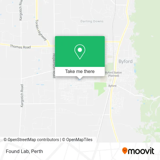
See Found Lab, Byford, on the map
Public Transit to Found Lab in Byford
Wondering how to get to Found Lab in Byford? Moovit helps you find the best way to get to Found Lab with step-by-step directions from the nearest public transit station.
Moovit provides free maps and live directions to help you navigate through your city. View schedules, routes, timetables, and find out how long does it take to get to Found Lab in real time.
Looking for the nearest stop or station to Found Lab? Check out this list of stops closest to your destination: Mead St After Unity Way; Mead St Before Unity Way.
Bus: 254, 255, 256.Train: ARMADALE LINE.
Want to see if there’s another route that gets you there at an earlier time? Moovit helps you find alternative routes or times. Get directions from and directions to Found Lab easily from the Moovit App or Website.
We make riding to Found Lab easy, which is why over 1.5 million users, including users in Byford, trust Moovit as the best app for public transit. You don’t need to download an individual bus app or train app, Moovit is your all-in-one transit app that helps you find the best bus time or train time available.
For information on prices of bus and train, costs and ride fares to Found Lab, please check the Moovit app.
Use the app to navigate to popular places including to the airport, hospital, stadium, grocery store, mall, coffee shop, school, college, and university.
Found Lab Address: 1 Olsen Gdns Byford WA 6122 street in Byford
- The Strand Byford Lakeside Restaurant & Cafe,
- Found. Friends,
- Nido Early School - Byford,
- Radar Accounting,
- Perspire Fitness,
- Byford Ibdc,
- Pack and Post Newsagency,
- Byford Co.Lab,
- The Office Collective,
- Ovenu Canning Vale,
- The Glades at Byford Estate,
- Byford Display Dreamstart Homes,
- Oztan,
- San Diego Platinum the Glades,
- Home Group Wa Aston Platinum,
- Dale Alcock Display Home - Montello,
- Counselling and Support Touching Hearts Counselling,
- The Glades at Byford,
- Bissycare,
- O'Neill Bookkeeping Services
Places Near Found Lab (Byford)
- Fiona Stanley Hospital, Murdoch,
- DFO, Perth Airport,
- Rac Arena, Perth,
- Perth Convention Exhibition Centre, Perth,
- Hillarys Boat Harbour,
- IKEA, Innaloo,
- Crown Perth Casino, Burswood,
- Optus Stadium, Burswood,
- Langley Park, Perth,
- Westfield Carousel, Cannington,
- Scitech, West Perth,
- Karrinyup Shopping Centre, Karrinyup,
- Royal Perth Hospital, Perth,
- McCallum Park, Victoria Park,
- Pelicaan Investment Ho, Bellevue,
- Yankee Mart, Baldivis,
- Aqwa Aquarium, Hillarys,
- Blue Boat House,
- Mount Hospital, Perth,
- Sir Charles Gairdner Hospital, Nedlands
How to get to popular places in Perth with public transport
Get around Byford by public transport!
Travelling around Byford has never been so easy. See step by step directions as you travel to any attraction, street or major public transport station. View bus and train timetables, arrival times, service alerts and detailed routes on a map, so you know exactly how to get to anywhere in Byford.
When travelling to any destination around Byford use Moovit's Live Directions with Get Off Notifications to know exactly where and how far to walk, how long to wait for your line , and how many stops are left. Moovit will alert you when it’s time to get off — no need to constantly re-check whether yours is the next stop.
Wondering how to use public transport in Byford or how to pay for public transport in Byford? Moovit public transport app can help you navigate your way with public transport easily, and at minimum cost. It includes public transport fees, ticket prices, and costs. Looking for a map of Byford public transport lines? Moovit public transport app shows all public transport maps in Byford with all Bus, Train and Ferry routes and stops on an interactive map.
Perth has 3 transport type(s), including: Bus, Train and Ferry, operated by several transport agencies, including Transperth Rail, Transwa, Transperth Ferry, Transperth, TransBusselton, TransAlbany, TransGoldfields, TransEsperance, TransGeraldton, TransCarnarvon, TransHedland, TransKarratha, TransBunbury, Mandurah Bus Charter and TransBroome