Fox View stop - Saturday schedule
| Line | Direction | Time |
|---|---|---|
| 268 | Bus Station | 06:34 |
| 268 | Bus Station | 07:04 |
| 268 | Bus Station | 07:34 |
| 212 | Bus Station Stand 8 | 07:39 |
| 268 | Bus Station | 07:59 |
| 213 | Dewsbury Bus Stn | 08:08 |
| 268 | Bus Station | 08:09 |
| 268 | Bus Station | 08:20 |
| 268 | Bus Station | 08:35 |
| 212 | Bus Station Stand 8 | 08:39 |
| 268 | Bus Station | 08:50 |
| 268 | Bus Station | 09:05 |
| 213 | Dewsbury Bus Stn | 09:08 |
| 268 | Bus Station | 09:20 |
| 268 | Bus Station | 09:35 |
| 212 | Bus Station Stand 8 | 09:39 |
| 268 | Bus Station | 09:50 |
| 268 | Bus Station | 10:05 |
| 213 | Dewsbury Bus Stn | 10:08 |
| 268 | Bus Station | 10:20 |
| 268 | Bus Station | 10:35 |
| 212 | Bus Station Stand 8 | 10:39 |
| 268 | Bus Station | 10:50 |
| 268 | Bus Station | 11:05 |
| 213 | Dewsbury Bus Stn | 11:08 |
Directions to Fox View stop (Heckmondwike) with public transport
The following transport lines have routes that pass near Fox View
 Bus: 213, 268, 212, ML2.
- Train: NORTHERN.
How to get to Fox View stop by bus?
Click on the bus route to see step by step directions with maps, line arrival times and updated time schedules.
How to get to Fox View stop by train?
Click on the train route to see step by step directions with maps, line arrival times and updated time schedules.
Bus stops near Fox View stop in Heckmondwike
- Dewsbury Gate Road Occupation Ln, 2 min walk,
- Butchers Arms Junction, 5 min walk,
- Squirrel Hall Reservoir, 6 min walk,
Bus lines to Fox View stop in Heckmondwike
- 212, Bus Station Stand 2,
- 213, Morley Town Hall C,
- 213, Batley Bus Station,
- 268, Bus Station,
- ML2, Hillesley Rd Smallwood Rd,
What are the nearest stations to Fox View?
The nearest stations to Fox View are:
- Dewsbury Gate Road Occupation Ln is 142 meters away, 2 min walk.
- Butchers Arms Junction is 334 meters away, 5 min walk.
- Squirrel Hall Reservoir is 441 meters away, 6 min walk.
Which bus lines stop near Fox View?
These bus lines stop near Fox View: 213, 268.
Which train line stops near Fox View?
NORTHERN (Leeds)
What’s the nearest bus station to Fox View in Heckmondwike?
The nearest bus station to Fox View in Heckmondwike is Dewsbury Gate Road Occupation Ln. It’s a 2 min walk away.
What time is the first bus to Fox View in Heckmondwike?
The 268 is the first bus that goes to Fox View in Heckmondwike. It stops nearby at 05:25.
What time is the last bus to Fox View in Heckmondwike?
The 268 is the last bus that goes to Fox View in Heckmondwike. It stops nearby at 23:24.
Fox View station
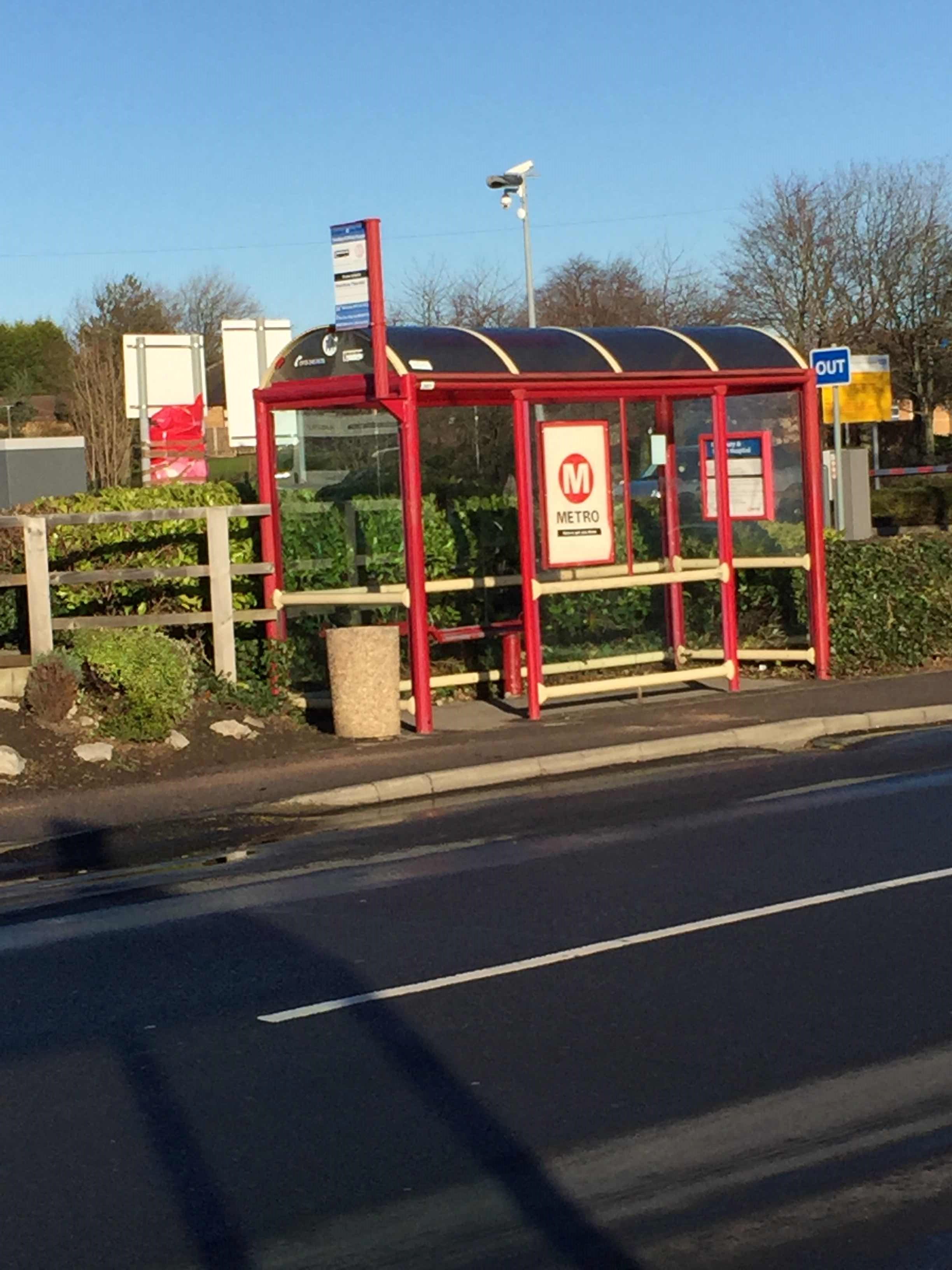 Taken by Andrew M.
See Fox View stop, Heckmondwike, on the map
Public transport to Fox View stop (ID: 45024171) in Heckmondwike
Looking for directions to Fox View in Heckmondwike, United Kingdom?
Download the Moovit App to find the current schedule and step-by-step directions for Bus or Train routes that pass through Fox View.
Looking for the nearest stops closest to Fox View ? Check out this list of closest stops to your destination: Dewsbury Gate Road Occupation Ln; Butchers Arms Junction; Squirrel Hall Reservoir.
Bus: 213, 268, 212, ML2.Train: NORTHERN.
We make riding on public transit to Fox View easy, which is why over 1.5 million users, including users in Heckmondwike trust Moovit as the best app for public transit.
Use the app to navigate to popular places including to the airport, hospital, stadium, grocery store, mall, coffee shop, school, college, and university.
Fox View stop’s code is 45024171
The first line to this stop is 268, at 06:34, and the last line is 268 at 23:04.
This stop serves East Yorkshire, Yorkshire Travel Group and Arriva Yorkshire’s lines
- Dewsbury Gate Road Occupation Ln,
- Butchers Arms Junction,
- Squirrel Hall Reservoir
Bus stops near Fox View stop
- Frizinghall,
- Arla Foods,
- Cleethorpes,
- Rotherham Road/Burton Road,
- Prospect Street A,
- Birkwood Rd Hill Top Farm,
- White Rose Centre,
- Arundel Gate/Ag12,
- Tinshill Club,
- West Street From City, Sheffield Centre,
- North Lane,
- Whitby,
- The Springs A,
- Woodlands Hotel,
- Cricket Inn Road/Cricket Inn Crescent,
- Five Lane Ends Morrisons A,
- Moorgate Road/Sitwell Drive,
- Brackenwood Drive,
- Orchard Lane/West Street,
- Charter Row/Fitzwilliam Gate
Popular public transport stations in Heckmondwike
Get around Heckmondwike by public transport!
Travelling around Heckmondwike has never been so easy. See step by step directions as you travel to any attraction, street or major public transport station. View bus and train timetables, arrival times, service alerts and detailed routes on a map, so you know exactly how to get to anywhere in Heckmondwike.
When travelling to any destination around Heckmondwike use Moovit's Live Directions with Get Off Notifications to know exactly where and how far to walk, how long to wait for your line , and how many stops are left. Moovit will alert you when it’s time to get off — no need to constantly re-check whether yours is the next stop.
Wondering how to use public transport in Heckmondwike or how to pay for public transport in Heckmondwike? Moovit public transport app can help you navigate your way with public transport easily, and at minimum cost. It includes public transport fees, ticket prices, and costs. Looking for a map of Heckmondwike public transport lines? Moovit public transport app shows all public transport maps in Heckmondwike with all Bus, Train and Light rail routes and stops on an interactive map.
Yorkshire has 3 transport type(s), including: Bus, Train and Light rail, operated by several transport agencies, including First Leeds, First South Yorkshire, First York, Arriva Yorkshire, Stagecoach Yorkshire, National Rail, First Bradford, First Halifax, Calder Valley & Huddersfield, East Yorkshire, The Keighley Bus Company, South Yorkshire Future Tram, The Harrogate Bus Company, TM Travel, Coastliner and Stevenson's Travel