How to get to Fremantle Chilli by bus?
Click on the bus route to see step by step directions with maps, line arrival times and updated time schedules.
How to get to Fremantle Chilli by train?
Click on the train route to see step by step directions with maps, line arrival times and updated time schedules.
Bus stops near Fremantle Chilli
Bus routes to Fremantle Chilli
- 511, Fremantle Stn,VIEW
- 512, Murdoch Stn,VIEW
- 513, Kardinya Shop Ctr,VIEW
- 520, Fremantle Stn,VIEW
- 530, Fremantle,VIEW
- 531, Fremantle Stn,VIEW
- 532, South Fremantle,VIEW
- 548, Coogee,VIEW
- 549, Fremantle Stn,VIEW
- 998, Fremantle Stn,VIEW
- 999, Belmont Forum / Wright St,VIEW
- FREMANTLE LINE, Claremont Stn,VIEW
- 107, Cottesloe Stn,VIEW
- 111, East Perth,VIEW
- 148, Como,VIEW
- 158, Fremantle Stn,VIEW
- 160, Fremantle Stn,VIEW
- 500, Bull Creek Stn,VIEW
- 502, Fremantle Stn,VIEW
- 659, Perth Stadium Bus Stn,VIEW
What are the nearest stations to Fremantle Chilli?
The nearest stations to Fremantle Chilli are:
- South Tce After Price St is 223 meters away, 4 min walk.
- South Tce - Fremantle Markets is 492 meters away, 7 min walk.
- Fremantle Stn is 757 meters away, 11 min walk.
Which bus lines stop near Fremantle Chilli?
These bus lines stop near Fremantle Chilli: 107, 532, 915, 998, 999.
Which train line stops near Fremantle Chilli?
FREMANTLE LINE (Fremantle Stn)
What’s the nearest bus station to Fremantle Chilli?
The nearest bus station to Fremantle Chilli is South Tce After Price St. It’s a 4 min walk away.
What time is the first train to Fremantle Chilli?
The FREMANTLE LINE is the first train that goes to Fremantle Chilli. It stops nearby at 05:22.
What time is the last train to Fremantle Chilli?
The FREMANTLE LINE is the last train that goes to Fremantle Chilli. It stops nearby at 00:47.
What time is the first bus to Fremantle Chilli?
The 910 is the first bus that goes to Fremantle Chilli. It stops nearby at 04:15.
What time is the last bus to Fremantle Chilli?
The 910 is the last bus that goes to Fremantle Chilli. It stops nearby at 00:52.
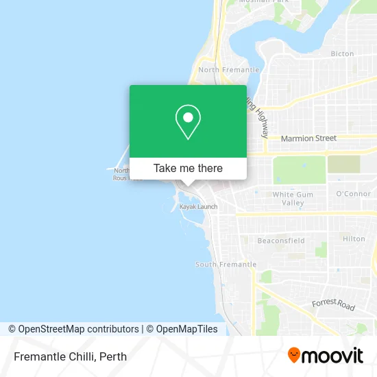
See Fremantle Chilli on the map
Public Transportation to Fremantle Chilli
Wondering how to get to Fremantle Chilli? Moovit helps you find the best way to get to Fremantle Chilli with step-by-step directions from the nearest public transit station.
Moovit provides free maps and live directions to help you navigate through your city. View schedules, routes, timetables, and find out how long does it take to get to Fremantle Chilli in real time.
Looking for the nearest stop or station to Fremantle Chilli? Check out this list of stops closest to your destination: South Tce After Price St; South Tce - Fremantle Markets; Fremantle Stn.
Bus: 107, 532, 915, 998, 999, 511, 512, 513, 520, 530, FREMANTLE LINE, 111, 148, 158.Train: FREMANTLE LINE.
Want to see if there’s another route that gets you there at an earlier time? Moovit helps you find alternative routes or times. Get directions from and directions to Fremantle Chilli easily from the Moovit App or Website.
We make riding to Fremantle Chilli easy, which is why over 1.5 million users, including users in Fremantle, trust Moovit as the best app for public transit. You don’t need to download an individual bus app or train app, Moovit is your all-in-one transit app that helps you find the best bus time or train time available.
For information on prices of bus and train, costs and ride fares to Fremantle Chilli, please check the Moovit app.
Use the app to navigate to popular places including to the airport, hospital, stadium, grocery store, mall, coffee shop, school, college, and university.
Fremantle Chilli Address: Marine Ter Fremantle WA 6160 street in Fremantle
- The Esplanade Reserve,
- Esplanade Park,
- LOT 2044 Marine Terrace,
- Sky View Ferris Wheel,
- Performing Arts,
- About Onlyperth,
- 34 Mews Rd Parking,
- Fremantle Street Arts Festival,
- Ball And Chain,
- Lion Beer Australia,
- Sonar Room,
- Fremantle Fishing Boat Harbour,
- Esplanade Hotel Fremantle by Rydges,
- Cicerello's Jet Adventures,
- The Esplanade Hotel,
- Esplanade Hotel,
- Little Creatures,
- Western Heritage Stonemasons,
- 2026 Mews Road,
- Mayar Community Infrastructure
Places Near Fremantle Chilli
- Rac Arena, Perth,
- Mount Hospital, Perth,
- Sir Charles Gairdner Hospital, Nedlands,
- Yankee Mart, Baldivis,
- Royal Perth Hospital, Perth,
- Karrinyup Shopping Centre, Karrinyup,
- Aqwa Aquarium, Hillarys,
- Pelicaan Investment Ho, Bellevue,
- IKEA, Innaloo,
- McCallum Park, Victoria Park,
- Crown Perth Casino, Burswood,
- Blue Boat House,
- Westfield Carousel, Cannington,
- Fiona Stanley Hospital, Murdoch,
- Hillarys Boat Harbour,
- Optus Stadium, Burswood,
- Langley Park, Perth,
- DFO, Perth Airport,
- Perth Convention Exhibition Centre, Perth,
- Scitech, West Perth
How to get to popular places in Perth with public transport
Get around Fremantle by public transport!
Travelling around Fremantle has never been so easy. See step by step directions as you travel to any attraction, street or major public transport station. View bus and train timetables, arrival times, service alerts and detailed routes on a map, so you know exactly how to get to anywhere in Fremantle.
When travelling to any destination around Fremantle use Moovit's Live Directions with Get Off Notifications to know exactly where and how far to walk, how long to wait for your line , and how many stops are left. Moovit will alert you when it’s time to get off — no need to constantly re-check whether yours is the next stop.
Wondering how to use public transport in Fremantle or how to pay for public transport in Fremantle? Moovit public transport app can help you navigate your way with public transport easily, and at minimum cost. It includes public transport fees, ticket prices, and costs. Looking for a map of Fremantle public transport lines? Moovit public transport app shows all public transport maps in Fremantle with all Bus, Train and Ferry routes and stops on an interactive map.
Perth has 3 transport type(s), including: Bus, Train and Ferry, operated by several transport agencies, including Transperth Rail, Transwa, Transperth Ferry, Transperth, TransBusselton, TransAlbany, TransGoldfields, TransEsperance, TransGeraldton, TransCarnarvon, TransHedland, TransKarratha, TransBunbury, Mandurah Bus Charter and TransBroome