Holland Street stop - Wednesday schedule
| Line | Direction | Time |
|---|---|---|
| 76 | Day Drive | 05:30 |
| 76 | Oldham Bus Station | 06:26 |
| 76 | Oldham Bus Station | 06:38 |
| 76 | Oldham Bus Station | 06:50 |
| 76 | Oldham Bus Station | 07:03 |
| 76 | Oldham Bus Station | 07:18 |
| 722 | Co-Op Academy North Manchester | 07:32 |
| 76 | Oldham Bus Station | 07:33 |
| 709 | St Matthew's High School | 07:42 |
| 726 | The East Manchester Academy | 07:46 |
| 76 | Oldham Bus Station | 07:48 |
| 76 | Oldham Bus Station | 08:08 |
| 76 | Oldham Bus Station | 08:28 |
| 76 | Oldham Bus Station | 08:48 |
| 76 | Oldham Bus Station | 09:02 |
| 76A | Oldham Bus Station | 09:13 |
| 76 | Oldham Bus Station | 09:25 |
| 76 | Oldham Bus Station | 09:37 |
| 76 | Oldham Bus Station | 09:49 |
| 76 | Oldham Bus Station | 10:01 |
| 76A | Oldham Bus Station | 10:13 |
| 76 | Oldham Bus Station | 10:25 |
| 76 | Oldham Bus Station | 10:37 |
| 76 | Oldham Bus Station | 10:49 |
| 76 | Oldham Bus Station | 11:01 |
Directions to Holland Street stop (Manchester) with public transport
The following transport lines have routes that pass near Holland Street
How to get to Holland Street stop by bus?
Click on the bus route to see step by step directions with maps, line arrival times and updated time schedules.
How to get to Holland Street stop by train?
Click on the train route to see step by step directions with maps, line arrival times and updated time schedules.
How to get to Holland Street stop by light rail?
Click on the light rail route to see step by step directions with maps, line arrival times and updated time schedules.
Bus stops near Holland Street stop in Manchester
- Cambrian Street, 3 min walk,
- Naylor Street, 4 min walk,
Light Rail stations near Holland Street station in Manchester
- Etihad Campus (Manchester Metrolink), 8 min walk,
Bus lines to Holland Street stop in Manchester
- 76, Health Centre,
- 76A, Oldham Bus Station,
- 76B, Piccadilly Gardens,
- 702, St Peter's High School,
- 703, Wright Robinson Sports College,
- 709, Garforth Avenue,
- 722, Monsall Street,
- 724, University Dental Hospital Of Manchester,
- 83, Oldham - Manchester,
- 84, Manchester - Saddleworth,
- 114, Middleton - Manchester,
- 181, Royton - Manchester,
- 182, Manchester - Shaw,
- 726, Manchester - Oldham,
What are the nearest stations to Holland Street?
The nearest stations to Holland Street are:
- Cambrian Street is 159 meters away, 3 min walk.
- Naylor Street is 234 meters away, 4 min walk.
- Etihad Campus (Manchester Metrolink) is 582 meters away, 8 min walk.
Which bus line stops near Holland Street?
76 (Oldham Bus Station)
Which train lines stop near Holland Street?
These train lines stop near Holland Street: NORTHERN, TRANSPENNINE EXPRESS.
Which light rail line stops near Holland Street?
BLUE LINE (Ashton-Under-Lyne (Manchester Metrolink))
What’s the nearest light rail station to Holland Street in Manchester?
The nearest light rail station to Holland Street in Manchester is Etihad Campus (Manchester Metrolink). It’s a 8 min walk away.
What’s the nearest bus station to Holland Street in Manchester?
The nearest bus station to Holland Street in Manchester is Cambrian Street. It’s a 3 min walk away.
What time is the first light rail to Holland Street in Manchester?
The BLUE LINE is the first light rail that goes to Holland Street in Manchester. It stops nearby at 06:20.
What time is the last light rail to Holland Street in Manchester?
The PURPLE LINE is the last light rail that goes to Holland Street in Manchester. It stops nearby at 00:24.
What time is the first bus to Holland Street in Manchester?
The 83 is the first bus that goes to Holland Street in Manchester. It stops nearby at 06:20.
What time is the last bus to Holland Street in Manchester?
The 83 is the last bus that goes to Holland Street in Manchester. It stops nearby at 00:09.
Holland Street station
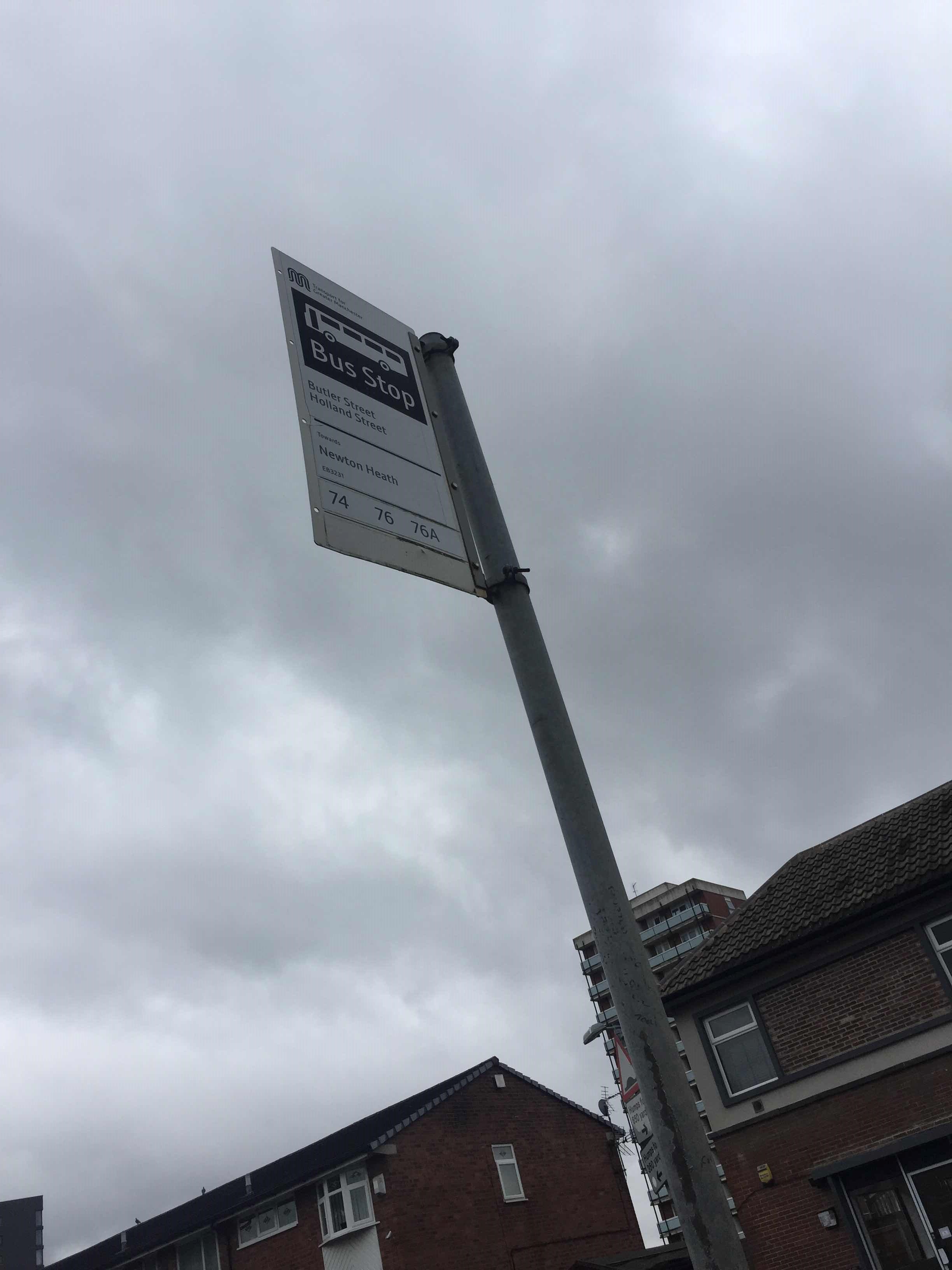 Taken by Anonymous
See Holland Street stop, Manchester, on the map
Public transport to Holland Street stop (ID: MANAGTAM) in Manchester
Looking for directions to Holland Street in Manchester, United Kingdom?
Download the Moovit App to find the current schedule and step-by-step directions for Bus, Light rail or Train routes that pass through Holland Street.
Looking for the nearest stops closest to Holland Street ? Check out this list of closest stops to your destination: Cambrian Street; Naylor Street; Etihad Campus (Manchester Metrolink).
Bus: 76, 76A, 76B, 702, 703, 83, 84, 114, 181, 182.Train: NORTHERN, TRANSPENNINE EXPRESS.Light rail: BLUE LINE.
We make riding on public transit to Holland Street easy, which is why over 1.5 million users, including users in Manchester trust Moovit as the best app for public transit.
Use the app to navigate to popular places including to the airport, hospital, stadium, grocery store, mall, coffee shop, school, college, and university.
Holland Street stop’s code is MANAGTAM
The first line to this stop is 76, at 05:30, and the last line is 76 at 23:55.
Rolleston Avenue, Manchester, England, United Kingdom
This stop serves Bee Network, Bee Network and Bee Network’s lines
Light Rail station near Holland Street station
Popular public transport stations in Manchester
Get around Manchester by public transport!
Travelling around Manchester has never been so easy. See step by step directions as you travel to any attraction, street or major public transport station. View bus and train timetables, arrival times, service alerts and detailed routes on a map, so you know exactly how to get to anywhere in Manchester.
When travelling to any destination around Manchester use Moovit's Live Directions with Get Off Notifications to know exactly where and how far to walk, how long to wait for your line , and how many stops are left. Moovit will alert you when it’s time to get off — no need to constantly re-check whether yours is the next stop.
Wondering how to use public transport in Manchester or how to pay for public transport in Manchester? Moovit public transport app can help you navigate your way with public transport easily, and at minimum cost. It includes public transport fees, ticket prices, and costs. Looking for a map of Manchester public transport lines? Moovit public transport app shows all public transport maps in Manchester with all Bus, Train, Light rail and Ferry routes and stops on an interactive map.
North West has 4 transport type(s), including: Bus, Train, Light rail and Ferry, operated by several transport agencies, including Arriva North West, Stagecoach Merseyside and South Lancashire, Stagecoach Cumbria and North Lancashire, First Halifax, National Express, Warrington's Own Buses, First Potteries, Rosso, Blackpool Transport, The Blackburn Bus Company, The Burnley Bus Company, Vision Bus, National Rail, Huyton Travel and Stotts Tours