Directions to Independent Life Service (West Swan) with public transport
The following transport lines have routes that pass near Independent Life Service
 Bus: 355, 358, 357.
- Train: ELLENBROOK LINE.
How to get to Independent Life Service by bus?
Click on the bus route to see step by step directions with maps, line arrival times and updated time schedules.
From Alexander Heights Shopping Centre, Alexander Heights
59 minFrom The Square Mirrabooka Shopping Centre, Mirrabooka
56 minFrom Belmont WA Australia, Belmont
75 minFrom North Metropolitan TAFE, Balga campus, Balga
78 minFrom Maylands Peninsula Golf Course, Maylands
86 minFrom Costco Wholesale, Perth Airport
86 minFrom Galleria, Morley
45 minFrom Maylands Station, Maylands
66 minFrom Swan View Senior High School, Swan View
57 minFrom The Shops at Ellenbrook, Ellenbrook
53 min
How to get to Independent Life Service by train?
Click on the train route to see step by step directions with maps, line arrival times and updated time schedules.
Bus stops near Independent Life Service in West Swan
Bus lines to Independent Life Service in West Swan
What are the nearest stations to Independent Life Service?
The nearest stations to Independent Life Service are:
- Marshall Rd After Dulwich St is 821 meters away, 11 min walk.
- Patricia St After Coonawarra Dr is 1075 meters away, 14 min walk.
Which bus lines stop near Independent Life Service?
These bus lines stop near Independent Life Service: 355, 358.
Which train line stops near Independent Life Service?
ELLENBROOK LINE (Ellenbrook Stn)
What’s the nearest bus station to Independent Life Service in West Swan?
The nearest bus station to Independent Life Service in West Swan is Marshall Rd After Dulwich St. It’s a 11 min walk away.
What time is the first bus to Independent Life Service in West Swan?
The 357 is the first bus that goes to Independent Life Service in West Swan. It stops nearby at 05:06.
What time is the last bus to Independent Life Service in West Swan?
The 355 is the last bus that goes to Independent Life Service in West Swan. It stops nearby at 00:46.
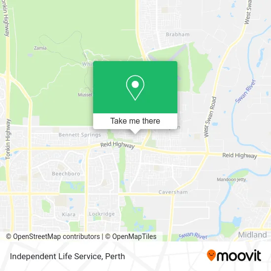
See Independent Life Service, West Swan, on the map
Public Transit to Independent Life Service in West Swan
Wondering how to get to Independent Life Service in West Swan? Moovit helps you find the best way to get to Independent Life Service with step-by-step directions from the nearest public transit station.
Moovit provides free maps and live directions to help you navigate through your city. View schedules, routes, timetables, and find out how long does it take to get to Independent Life Service in real time.
Looking for the nearest stop or station to Independent Life Service? Check out this list of stops closest to your destination: Marshall Rd After Dulwich St; Patricia St After Coonawarra Dr.
Bus: 355, 358, 357.Train: ELLENBROOK LINE.
Want to see if there’s another route that gets you there at an earlier time? Moovit helps you find alternative routes or times. Get directions from and directions to Independent Life Service easily from the Moovit App or Website.
We make riding to Independent Life Service easy, which is why over 1.5 million users, including users in West Swan, trust Moovit as the best app for public transit. You don’t need to download an individual bus app or train app, Moovit is your all-in-one transit app that helps you find the best bus time or train time available.
For information on prices of bus and train, costs and ride fares to Independent Life Service, please check the Moovit app.
Use the app to navigate to popular places including to the airport, hospital, stadium, grocery store, mall, coffee shop, school, college, and university.
Independent Life Service Address: 3 Taurus Ave Bennett Springs WA 6063 street in West Swan
- Cambodian Welfare and Cultural Centre of Wa Inc,
- Cambodian Buddhist Temple,
- Harcourts Langwarrin,
- The Arlo Celebration Homes,
- Dale Alcock Display Home Banksia,
- Sikh Gurdwara Perth,
- smart Homes for Living the Grand Stella Display,
- Nishi Clothing Alterations,
- Marshall Rd Gurdwara,
- Perth Air Repair,
- Support Genie's,
- Hky Real Estate,
- Massage Move Meditate,
- Sunrise Power Australia,
- Bennett Quarter,
- 955 Bus - Ellenbrook - Bassendean - Morley,
- Wild Threads,
- Famliy Daycare,
- Sumit Driving Academy Midland,
- Simrav Transport
Places Near Independent Life Service (West Swan)
- Crown Perth Casino, Burswood,
- Westfield Carousel, Cannington,
- Watertown, Perth,
- Mount Hospital, Perth,
- Langley Park, Perth,
- Sir Charles Gairdner Hospital, Nedlands,
- Blue Boat House,
- Aqwa Aquarium, Hillarys,
- Royal Perth Hospital, Perth,
- Yankee Mart, Baldivis,
- DFO, Perth Airport,
- Optus Stadium, Burswood,
- Perth Convention Exhibition Centre, Perth,
- Scitech, West Perth,
- Rac Arena, Perth,
- Fiona Stanley Hospital, Murdoch,
- McCallum Park, Victoria Park,
- Karrinyup Shopping Centre, Karrinyup,
- IKEA, Innaloo,
- Pelicaan Investment Ho, Bellevue
How to get to popular places in Perth with public transport
Get around West Swan by public transport!
Travelling around West Swan has never been so easy. See step by step directions as you travel to any attraction, street or major public transport station. View bus and train timetables, arrival times, service alerts and detailed routes on a map, so you know exactly how to get to anywhere in West Swan.
When travelling to any destination around West Swan use Moovit's Live Directions with Get Off Notifications to know exactly where and how far to walk, how long to wait for your line , and how many stops are left. Moovit will alert you when it’s time to get off — no need to constantly re-check whether yours is the next stop.
Wondering how to use public transport in West Swan or how to pay for public transport in West Swan? Moovit public transport app can help you navigate your way with public transport easily, and at minimum cost. It includes public transport fees, ticket prices, and costs. Looking for a map of West Swan public transport lines? Moovit public transport app shows all public transport maps in West Swan with all Bus, Train and Ferry routes and stops on an interactive map.
Perth has 3 transport type(s), including: Bus, Train and Ferry, operated by several transport agencies, including Transperth Rail, Transwa, Transperth Ferry, Transperth, TransBusselton, TransAlbany, TransGoldfields, TransEsperance, TransGeraldton, TransCarnarvon, TransHedland, TransKarratha, TransBunbury, Mandurah Bus Charter and TransBroome