Intake Road stop - Sunday schedule
| Line | Direction | Time |
|---|---|---|
| 4F | Seacroft Bus Stn | 07:07 |
| 4 | Seacroft Bus Stn | 07:36 |
| 4F | Seacroft Bus Stn | 08:07 |
| 4 | Seacroft Bus Stn | 08:37 |
| 14 | City Square | 09:00 |
| 14 | City Square | 09:01 |
| 4F | Seacroft Bus Stn | 09:07 |
| 4 | Seacroft Bus Stn | 09:38 |
| 14 | City Square | 10:00 |
| 14 | City Square | 10:00 |
| 4F | Seacroft Bus Stn | 10:07 |
| 4 | Seacroft Bus Stn | 10:37 |
| 14 | City Square | 11:02 |
| 14 | City Square | 11:02 |
| 4F | Seacroft Bus Stn | 11:07 |
| 4 | Seacroft Bus Stn | 11:38 |
| 14 | City Square | 12:03 |
| 14 | City Square | 12:03 |
| 4F | Seacroft Bus Stn | 12:07 |
| 4 | Seacroft Bus Stn | 12:38 |
| 14 | City Square | 13:03 |
| 14 | City Square | 13:03 |
| 4F | Seacroft Bus Stn | 13:07 |
| 4 | Seacroft Bus Stn | 13:38 |
| 14 | City Square | 14:04 |
Directions to Intake Road stop (Leeds) with public transport
The following transport lines have routes that pass near Intake Road
 Bus: 14, 4, 4F, 9C, X11.
- Train: NORTHERN.
How to get to Intake Road stop by bus?
Click on the bus route to see step by step directions with maps, line arrival times and updated time schedules.
How to get to Intake Road stop by train?
Click on the train route to see step by step directions with maps, line arrival times and updated time schedules.
Bus stops near Intake Road stop in Leeds
- Intake Road, 1 min walk,
- Swinnow Green, 3 min walk,
- Lidget Hill, 10 min walk,
Train stations near Intake Road station in Leeds
- Headingley, 60 min walk,
Bus lines to Intake Road stop in Leeds
- 4, Pudsey Highfield Gr,
- 4F, Pudsey Bus Station,
- 9C, Station Road Troy Road,
- X11, Bradford Intc,
- 14, Pudsey Bus Station,
- 81, Butt Lane Tong Approach,
- 9, Ring Road Lower Wortley,
- 16, Whinmoor Shop Ctr,
- 16A, Whinmoor Shop Ctr,
- 91, Halton Moor,
- 205, Owlcoates Shopping Center,
What are the nearest stations to Intake Road?
The nearest stations to Intake Road are:
- Intake Road stop is 40 meters away, 1 min walk.
- Swinnow Green stop is 214 meters away, 3 min walk.
- Lidget Hill stop is 763 meters away, 10 min walk.
- Headingley station is 4737 meters away, 60 min walk.
Which bus lines stop near Intake Road?
These bus lines stop near Intake Road: 14, 4, 4F.
Which train line stops near Intake Road?
NORTHERN (Manchester Victoria)
What’s the nearest bus station to Intake Road in Leeds?
The nearest bus station to Intake Road in Leeds is Intake Road. It’s a 1 min walk away.
What time is the first train to Intake Road in Leeds?
The NORTHERN is the first train that goes to Intake Road in Leeds. It stops nearby at 09:14.
What time is the last train to Intake Road in Leeds?
The NORTHERN is the last train that goes to Intake Road in Leeds. It stops nearby at 23:47.
What time is the first bus to Intake Road in Leeds?
The 16A is the first bus that goes to Intake Road in Leeds. It stops nearby at 06:16.
What time is the last bus to Intake Road in Leeds?
The 16A is the last bus that goes to Intake Road in Leeds. It stops nearby at 22:24.
Intake Road station
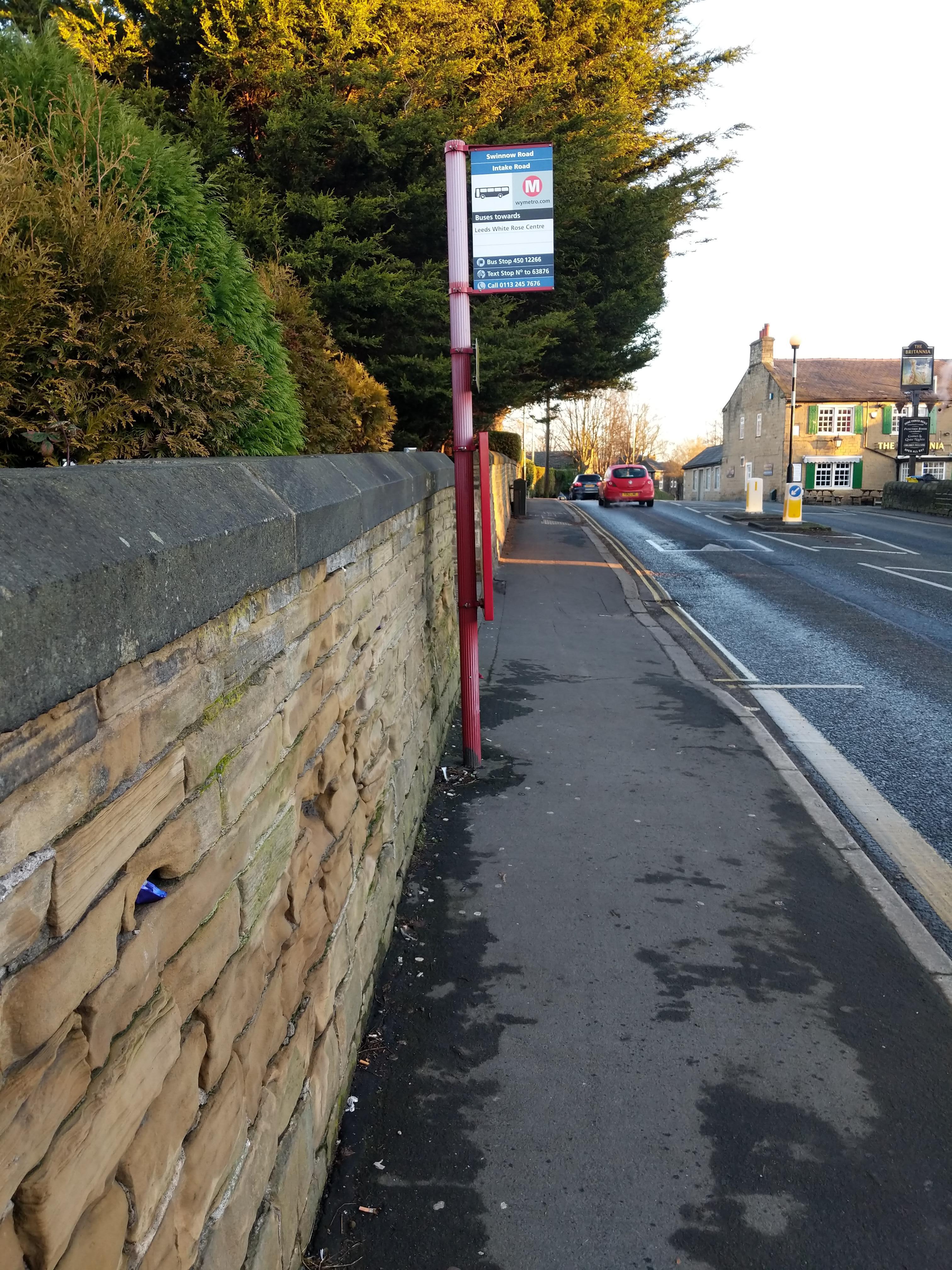 Taken by Geoff J.
See Intake Road stop, Leeds, on the map
Public transport to Intake Road stop (ID: 45012266) in Leeds
Looking for directions to Intake Road in Leeds, United Kingdom?
Download the Moovit App to find the current schedule and step-by-step directions for Bus or Train routes that pass through Intake Road.
Looking for the nearest stops closest to Intake Road ? Check out this list of closest stops to your destination: Intake Road; Swinnow Green; Lidget Hill; Headingley.
Bus: 14, 4, 4F, 9C, X11, 9, 16, 16A, 91, 205.Train: NORTHERN.
We make riding on public transit to Intake Road easy, which is why over 1.7 billion users, including users in Leeds trust Moovit as the best app for public transit.
Use the app to navigate to popular places including to the airport, hospital, stadium, grocery store, mall, coffee shop, school, college, and university.
Intake Road stop’s code is 45012266
The first line to this stop is 4F, at 07:07, and the last line is 4 at 21:36.
This stop serves First Leeds, Squarepeg and First Bradford’s lines
- Intake Road,
- Swinnow Green,
- Lidget Hill
Bus stops near Intake Road stop
- Headingley
Train station near Intake Road station
- Sandbeck Way,
- Westerton School,
- Mountain Mill Lane,
- Sainsburys,
- Rawcliffe Bar Park And Ride,
- Cardinal Heenan Sch,
- Lgi A&E,
- Lee Mount Church,
- Station E,
- Ring Rd Limewood Approach,
- Penistone Grammar School Bus Park/Huddersfield R,
- Bridlington Quay Road,
- St. Helena Caravan Park,
- East Ella Drive,
- Grandale Shops,
- York Maze,
- Springfield Road/Springfield Avenue,
- Norwood Road/Herries Road,
- Charlotte Road/Priestley Street,
- Wakefield Rd Bradford Road
Popular public transport stations in Leeds
Get around Leeds by public transport!
Travelling around Leeds has never been so easy. See step by step directions as you travel to any attraction, street or major public transport station. View bus and train timetables, arrival times, service alerts and detailed routes on a map, so you know exactly how to get to anywhere in Leeds.
When travelling to any destination around Leeds use Moovit's Live Directions with Get Off Notifications to know exactly where and how far to walk, how long to wait for your line , and how many stops are left. Moovit will alert you when it’s time to get off — no need to constantly re-check whether yours is the next stop.
Wondering how to use public transport in Leeds or how to pay for public transport in Leeds? Moovit public transport app can help you navigate your way with public transport easily, and at minimum cost. It includes public transport fees, ticket prices, and costs. Looking for a map of Leeds public transport lines? Moovit public transport app shows all public transport maps in Leeds with all Bus, Train and Light rail routes and stops on an interactive map.
Yorkshire has 3 transport type(s), including: Bus, Train and Light rail, operated by several transport agencies, including First Leeds, First South Yorkshire, First York, Arriva Yorkshire, Stagecoach Yorkshire, National Rail, First Bradford, First Halifax, Calder Valley & Huddersfield, East Yorkshire, The Keighley Bus Company, South Yorkshire Future Tram, The Harrogate Bus Company, TM Travel, Coastliner and Stevenson's Travel