Intermezzo Drive stop - Saturday schedule
| Line | Direction | Time |
|---|---|---|
| 168 | Corn Exchange D | 06:02 |
| 140 | Bus Stn | 06:15 |
| 141 | Bus Stn | 06:45 |
| 168 | Corn Exchange D | 07:02 |
| 140 | Bus Stn | 07:15 |
| 141 | Bus Stn | 07:45 |
| 168 | Corn Exchange D | 08:02 |
| 140 | Bus Stn | 08:15 |
| 168 | Corn Exchange D | 08:35 |
| 141 | Bus Stn | 08:45 |
| 168 | Corn Exchange D | 09:05 |
| 140 | Bus Stn | 09:15 |
| 141 | Bus Stn | 09:30 |
| 168 | Corn Exchange D | 09:35 |
| 140 | Bus Stn | 09:45 |
| 141 | Bus Stn | 10:00 |
| 168 | Corn Exchange D | 10:05 |
| 140 | Bus Stn | 10:15 |
| 141 | Bus Stn | 10:30 |
| 168 | Corn Exchange D | 10:35 |
| 140 | Bus Stn | 10:45 |
| 141 | Bus Stn | 11:00 |
| 168 | Corn Exchange D | 11:05 |
| 140 | Bus Stn | 11:15 |
| 141 | Bus Stn | 11:30 |
Directions to Intermezzo Drive stop (Leeds) with public transport
The following transport lines have routes that pass near Intermezzo Drive
 Bus: 140, 141, 168, 1, 110.
How to get to Intermezzo Drive stop by bus?
Click on the bus route to see step by step directions with maps, line arrival times and updated time schedules.
Bus stops near Intermezzo Drive stop in Leeds
- Haigh Park Road, 2 min walk,
- Queen Street, 12 min walk,
- First Direct, 12 min walk,
Bus lines to Intermezzo Drive stop in Leeds
- 140, Bus Stn,
- 141, Bus Stn,
- 168, Corn Exchange D,
- 1, Bus Station Stand 7,
- 110, Bus Stn,
- 444, Bus Station,
- 444S, Bus Station,
- 446, Bus Station,
- PR3, Stourton Park And Ride,
What are the nearest stations to Intermezzo Drive?
The nearest stations to Intermezzo Drive are:
- Haigh Park Road is 77 meters away, 2 min walk.
- Queen Street is 865 meters away, 12 min walk.
- First Direct is 906 meters away, 12 min walk.
Which bus lines stop near Intermezzo Drive?
These bus lines stop near Intermezzo Drive: 140, 141, 168.
What’s the nearest bus station to Intermezzo Drive in Leeds?
The nearest bus station to Intermezzo Drive in Leeds is Haigh Park Road. It’s a 2 min walk away.
What time is the first bus to Intermezzo Drive in Leeds?
The 110 is the first bus that goes to Intermezzo Drive in Leeds. It stops nearby at 04:56.
What time is the last bus to Intermezzo Drive in Leeds?
The 110 is the last bus that goes to Intermezzo Drive in Leeds. It stops nearby at 23:56.
Intermezzo Drive station
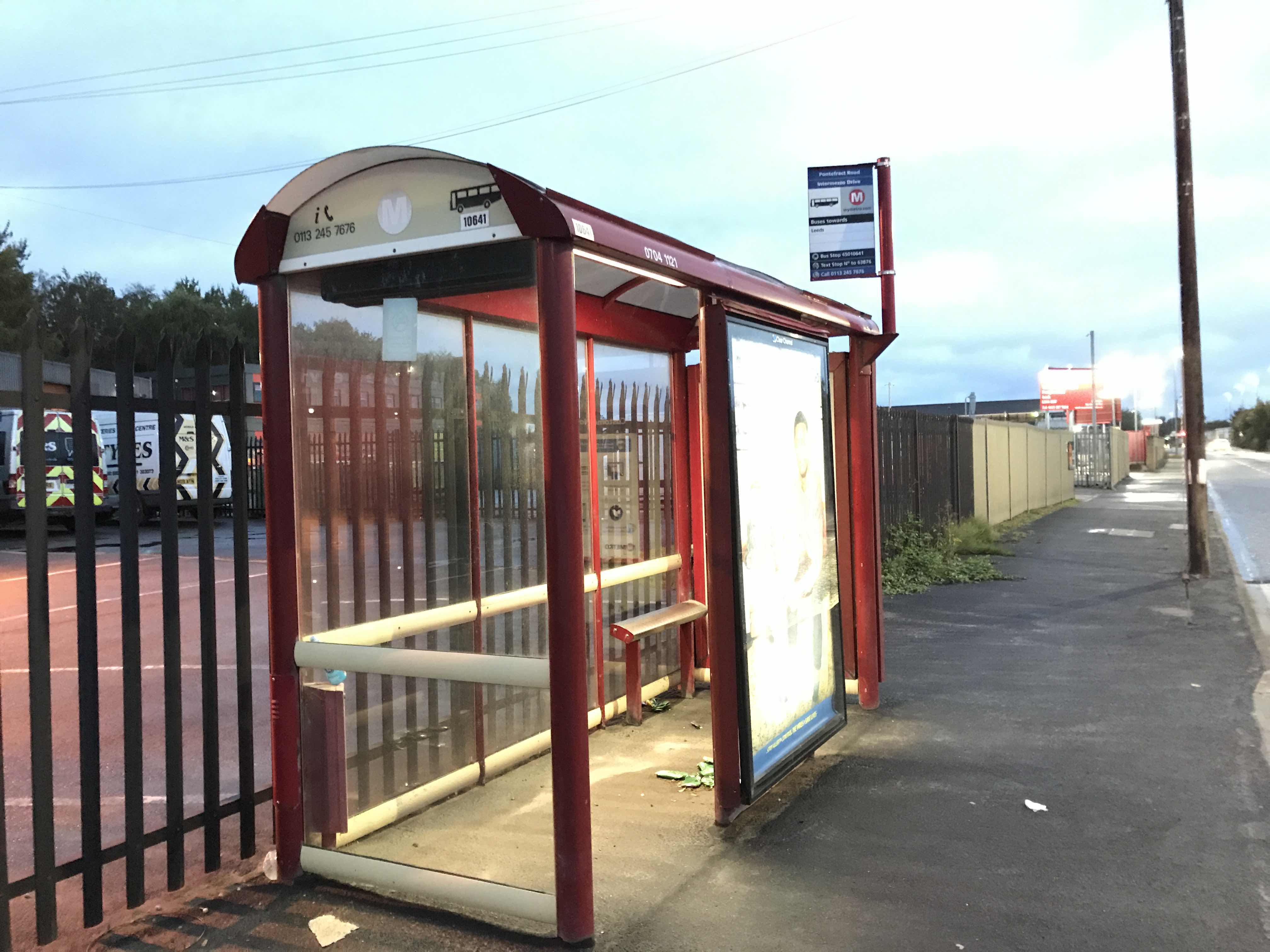 Taken by Anonymous
See Intermezzo Drive stop, Leeds, on the map
Public transport to Intermezzo Drive stop (ID: 45010641) in Leeds
Looking for directions to Intermezzo Drive in Leeds, United Kingdom?
Download the Moovit App to find the current schedule and step-by-step directions for Bus routes that pass through Intermezzo Drive.
Looking for the nearest stops closest to Intermezzo Drive ? Check out this list of closest stops to your destination: Haigh Park Road; Queen Street; First Direct.
Bus: 140, 141, 168, 1, 110, 444, 444S, 446, PR3.
We make riding on public transit to Intermezzo Drive easy, which is why over 1.5 million users, including users in Leeds trust Moovit as the best app for public transit.
Use the app to navigate to popular places including to the airport, hospital, stadium, grocery store, mall, coffee shop, school, college, and university.
Intermezzo Drive stop’s code is 45010641
The first line to this stop is 168, at 06:02, and the last line is 140 at 22:45.
This stop serves Arriva Yorkshire’s lines
- Haigh Park Road,
- Queen Street,
- First Direct
Bus stops near Intermezzo Drive stop
- Headrow J,
- Beverley Woodhall Way,
- Dale Hill Road/Haids Road,
- Fitzwilliam,
- Marston Business Park,
- General Hospital,
- Ringways Ring Road,
- Bus Station Stand 1,
- Wesley Road,
- Park Street/Market Place,
- Attercliffe Road/Warren Street,
- Clifton Gate,
- Basegreen Drive/Jaunty Road,
- Victoria Road,
- Knavesmire Primary School,
- Hemper Lane/Hemper Grove,
- Well Lodge,
- St. Helena Caravan Park,
- Goole North Street,
- Moorgate Road/Sitwell Drive
Popular public transport stations in Leeds
Get around Leeds by public transport!
Travelling around Leeds has never been so easy. See step by step directions as you travel to any attraction, street or major public transport station. View bus and train timetables, arrival times, service alerts and detailed routes on a map, so you know exactly how to get to anywhere in Leeds.
When travelling to any destination around Leeds use Moovit's Live Directions with Get Off Notifications to know exactly where and how far to walk, how long to wait for your line , and how many stops are left. Moovit will alert you when it’s time to get off — no need to constantly re-check whether yours is the next stop.
Wondering how to use public transport in Leeds or how to pay for public transport in Leeds? Moovit public transport app can help you navigate your way with public transport easily, and at minimum cost. It includes public transport fees, ticket prices, and costs. Looking for a map of Leeds public transport lines? Moovit public transport app shows all public transport maps in Leeds with all Bus, Train and Light rail routes and stops on an interactive map.
Yorkshire has 3 transport type(s), including: Bus, Train and Light rail, operated by several transport agencies, including First Leeds, First South Yorkshire, First York, Arriva Yorkshire, Stagecoach Yorkshire, National Rail, First Bradford, First Halifax, Calder Valley & Huddersfield, East Yorkshire, The Keighley Bus Company, South Yorkshire Future Tram, The Harrogate Bus Company, TM Travel, Coastliner and Stevenson's Travel