Directions to Little Street Library (Inglewood) with public transport
The following transport lines have routes that pass near Little Street Library
 Bus: 67, 950, 68, 653, 950X.
- Train: AIRPORT LINE, ELLENBROOK LINE.
How to get to Little Street Library by bus?
Click on the bus route to see step by step directions with maps, line arrival times and updated time schedules.
From Sandalford Wines, Caversham
71 minFrom Sir Charles Gairdner Hospital, Nedlands
44 minFrom Victoria Park, Victoria Park
35 minFrom Bendat Basketball Centre, Floreat
69 minFrom Hackett Drive, Crawley
51 minFrom Bentley Health Service, Bentley
70 minFrom Bentley Hospital, Bentley
63 minFrom Bentley Hospital, Bentley
70 minFrom John Hughes Service Centre, Welshpool
68 min
How to get to Little Street Library by train?
Click on the train route to see step by step directions with maps, line arrival times and updated time schedules.
Bus stops near Little Street Library in Inglewood
Bus lines to Little Street Library in Inglewood
What are the nearest stations to Little Street Library?
The nearest stations to Little Street Library are:
- Beaufort St After Ninth Av is 8 meters away, 1 min walk.
- Hamer Pde After Tenth Av is 830 meters away, 11 min walk.
- Meltham Stn is 3187 meters away, 41 min walk.
Which bus lines stop near Little Street Library?
These bus lines stop near Little Street Library: 67, 950.
Which train lines stop near Little Street Library?
These train lines stop near Little Street Library: AIRPORT LINE, ELLENBROOK LINE.
What’s the nearest bus station to Little Street Library in Inglewood?
The nearest bus station to Little Street Library in Inglewood is Beaufort St After Ninth Av. It’s a 1 min walk away.
What time is the first train to Little Street Library in Inglewood?
The AIRPORT LINE is the first train that goes to Little Street Library in Inglewood. It stops nearby at 05:15.
What time is the last train to Little Street Library in Inglewood?
The MIDLAND LINE is the last train that goes to Little Street Library in Inglewood. It stops nearby at 00:19.
What time is the first bus to Little Street Library in Inglewood?
The 950 is the first bus that goes to Little Street Library in Inglewood. It stops nearby at 04:38.
What time is the last bus to Little Street Library in Inglewood?
The 950 is the last bus that goes to Little Street Library in Inglewood. It stops nearby at 01:23.
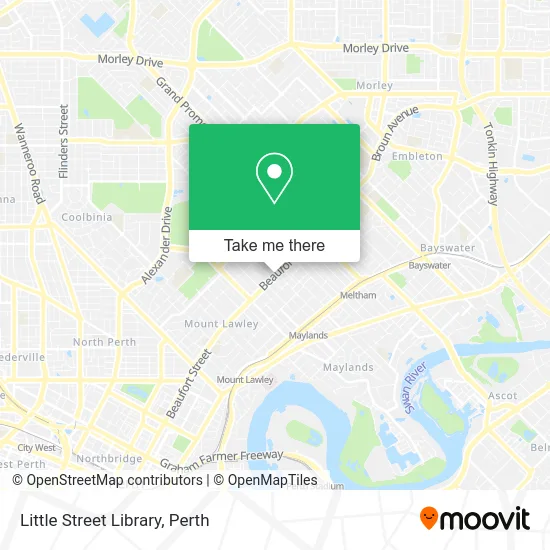
See Little Street Library, Inglewood, on the map
Public Transit to Little Street Library in Inglewood
Wondering how to get to Little Street Library in Inglewood? Moovit helps you find the best way to get to Little Street Library with step-by-step directions from the nearest public transit station.
Moovit provides free maps and live directions to help you navigate through your city. View schedules, routes, timetables, and find out how long does it take to get to Little Street Library in real time.
Looking for the nearest stop or station to Little Street Library? Check out this list of stops closest to your destination: Beaufort St After Ninth Av; Hamer Pde After Tenth Av; Meltham Stn.
Bus: 67, 950, 68, 653, 950X, 980, AIRPORT LINE, ELLENBROOK LINE, MIDLAND LINE, 901, 902.Train: AIRPORT LINE, ELLENBROOK LINE.
Want to see if there’s another route that gets you there at an earlier time? Moovit helps you find alternative routes or times. Get directions from and directions to Little Street Library easily from the Moovit App or Website.
We make riding to Little Street Library easy, which is why over 1.5 million users, including users in Inglewood, trust Moovit as the best app for public transit. You don’t need to download an individual bus app or train app, Moovit is your all-in-one transit app that helps you find the best bus time or train time available.
For information on prices of bus and train, costs and ride fares to Little Street Library, please check the Moovit app.
Use the app to navigate to popular places including to the airport, hospital, stadium, grocery store, mall, coffee shop, school, college, and university.
Little Street Library Address: Beaufort St Inglewood WA 6052 street in Inglewood
- Exploren,
- Kindy Dance Time Inglewood,
- Graham Hay,
- Bob Daniels Community Centre,
- Inglewood Playgroup,
- Inglewood Public Library,
- Aus Wing Chun,
- Pharmacy 777 Inglewood,
- Grow Cafe & Garden G,
- Swiss Certified Watch Repairs,
- Vagaro Wolf Whist,
- ALDI SAD,
- Zambrero,
- Calcutta Kitchen,
- Bonanza Paints,
- Skin Rejuvenate Cosmetic Clinic Inglewood,
- Storm C Enterprises,
- Flora on Tenth,
- Sunescape,
- Inglewood Town Square
Places Near Little Street Library (Inglewood)
- DFO, Perth Airport,
- Blue Boat House,
- Langley Park, Perth,
- Perth Convention Exhibition Centre, Perth,
- McCallum Park, Victoria Park,
- Crown Perth Casino, Burswood,
- Mount Hospital, Perth,
- Optus Stadium, Burswood,
- Westfield Carousel, Cannington,
- Aqwa Aquarium, Hillarys,
- Fiona Stanley Hospital, Murdoch,
- Scitech, West Perth,
- Pelicaan Investment Ho, Bellevue,
- Yankee Mart, Baldivis,
- Karrinyup Shopping Centre, Karrinyup,
- Watertown, Perth,
- IKEA, Innaloo,
- Rac Arena, Perth,
- Royal Perth Hospital, Perth,
- Sir Charles Gairdner Hospital, Nedlands
How to get to popular places in Perth with public transport
Get around Inglewood by public transport!
Travelling around Inglewood has never been so easy. See step by step directions as you travel to any attraction, street or major public transport station. View bus and train timetables, arrival times, service alerts and detailed routes on a map, so you know exactly how to get to anywhere in Inglewood.
When travelling to any destination around Inglewood use Moovit's Live Directions with Get Off Notifications to know exactly where and how far to walk, how long to wait for your line , and how many stops are left. Moovit will alert you when it’s time to get off — no need to constantly re-check whether yours is the next stop.
Wondering how to use public transport in Inglewood or how to pay for public transport in Inglewood? Moovit public transport app can help you navigate your way with public transport easily, and at minimum cost. It includes public transport fees, ticket prices, and costs. Looking for a map of Inglewood public transport lines? Moovit public transport app shows all public transport maps in Inglewood with all Bus, Train and Ferry routes and stops on an interactive map.
Perth has 3 transport type(s), including: Bus, Train and Ferry, operated by several transport agencies, including Transperth Rail, Transwa, Transperth Ferry, Transperth, TransBusselton, TransAlbany, TransGoldfields, TransEsperance, TransGeraldton, TransCarnarvon, TransHedland, TransKarratha, TransBunbury, Mandurah Bus Charter and TransBroome