Longsight Library & Learning Centre stop - Monday schedule
| Line | Direction | Time |
|---|---|---|
| 192 | Hazel Grove Park & Ride | 05:06 |
| 192 | Hazel Grove Park & Ride | 05:16 |
| 192 | Hazel Grove Park & Ride | 05:26 |
| 192 | Hazel Grove Park & Ride | 05:36 |
| 150 | The Trafford Centre Bus Station | 05:45 |
| 192 | Hazel Grove Park & Ride | 05:46 |
| 192 | Hazel Grove Park & Ride | 05:56 |
| 192 | Hazel Grove Park & Ride | 06:06 |
| 192 | Hazel Grove Park & Ride | 06:16 |
| 192 | Hazel Grove Park & Ride | 06:25 |
| 192 | Stepping Hill Hospital | 06:29 |
| 192 | Hazel Grove Park & Ride | 06:33 |
| 192 | Stepping Hill Hospital | 06:37 |
| 192 | Hazel Grove Park & Ride | 06:42 |
| 150 | The Trafford Centre Bus Station | 06:44 |
| 192 | Stepping Hill Hospital | 06:46 |
| 197 | Stockport Interchange | 06:47 |
| 192 | Hazel Grove Park & Ride | 06:50 |
| 192 | Stepping Hill Hospital | 06:54 |
| 192 | Hazel Grove Park & Ride | 06:58 |
| 192 | Stepping Hill Hospital | 07:02 |
| 192 | Hazel Grove Park & Ride | 07:05 |
| 197 | Stockport Interchange | 07:08 |
| 192 | Stepping Hill Hospital | 07:08 |
| 150 | The Trafford Centre Bus Station | 07:09 |
Directions to Longsight Library & Learning Centre stop (Manchester) with public transport
The following transport lines have routes that pass near Longsight Library & Learning Centre
 Bus: 192, 191, 197, 733, 742.
- Train: NORTHERN.
- Light rail: BLUE LINE, PURPLE LINE, YELLOW LINE.
How to get to Longsight Library & Learning Centre stop by bus?
Click on the bus route to see step by step directions with maps, line arrival times and updated time schedules.
How to get to Longsight Library & Learning Centre stop by train?
Click on the train route to see step by step directions with maps, line arrival times and updated time schedules.
How to get to Longsight Library & Learning Centre stop by light rail?
Click on the light rail route to see step by step directions with maps, line arrival times and updated time schedules.
Bus stops near Longsight Library & Learning Centre stop in Manchester
- Longsight Library & Learning Centre, 1 min walk,
- Longsight Shopping Centre, 2 min walk,
- Stockport Road, 3 min walk,
- Asda, 4 min walk,
- Peel Grove, 10 min walk,
Light Rail stations near Longsight Library & Learning Centre station in Manchester
- New Islington (Manchester Metrolink), 10 min walk,
Train stations near Longsight Library & Learning Centre station in Manchester
- Ardwick, 18 min walk,
Bus lines to Longsight Library & Learning Centre stop in Manchester
- 191, Leyland Street,
- 192, Hazel Grove Park & Ride,
- 197, Chorlton Street Coach Station,
- 733, George Street North,
- 742, Crown Green Close,
- 797, Piccadilly Gardens,
- 749, Burnage High School,
- 150, Wright Robinson Sports College,
- 53, Velopark Metrolink Stop,
- 702, St Peter's High School,
- 710, St Peter's High School,
- 739, St Peter's High School,
What are the nearest stations to Longsight Library & Learning Centre?
The nearest stations to Longsight Library & Learning Centre are:
- Longsight Library & Learning Centre is 28 meters away, 1 min walk.
- Longsight Shopping Centre is 91 meters away, 2 min walk.
- Stockport Road is 176 meters away, 3 min walk.
- Asda is 281 meters away, 4 min walk.
- Peel Grove is 717 meters away, 10 min walk.
- New Islington (Manchester Metrolink) is 762 meters away, 10 min walk.
- Ardwick is 1363 meters away, 18 min walk.
Which bus line stops near Longsight Library & Learning Centre?
192 (Hazel Grove Park & Ride)
Which train line stops near Longsight Library & Learning Centre?
NORTHERN (Manchester Oxford Road)
Which light rail lines stop near Longsight Library & Learning Centre?
These light rail lines stop near Longsight Library & Learning Centre: BLUE LINE, PURPLE LINE, YELLOW LINE.
What’s the nearest light rail station to Longsight Library & Learning Centre in Manchester?
The nearest light rail station to Longsight Library & Learning Centre in Manchester is New Islington (Manchester Metrolink). It’s a 10 min walk away.
What’s the nearest train station to Longsight Library & Learning Centre in Manchester?
The nearest train station to Longsight Library & Learning Centre in Manchester is Ardwick. It’s a 18 min walk away.
What’s the nearest bus station to Longsight Library & Learning Centre in Manchester?
The nearest bus station to Longsight Library & Learning Centre in Manchester is Longsight Library & Learning Centre. It’s a 1 min walk away.
What time is the first light rail to Longsight Library & Learning Centre in Manchester?
The BLUE LINE is the first light rail that goes to Longsight Library & Learning Centre in Manchester. It stops nearby at 06:11.
What time is the last light rail to Longsight Library & Learning Centre in Manchester?
The BLUE LINE is the last light rail that goes to Longsight Library & Learning Centre in Manchester. It stops nearby at 00:40.
What time is the first bus to Longsight Library & Learning Centre in Manchester?
The 192 is the first bus that goes to Longsight Library & Learning Centre in Manchester. It stops nearby at 03:09.
What time is the last bus to Longsight Library & Learning Centre in Manchester?
The 192 is the last bus that goes to Longsight Library & Learning Centre in Manchester. It stops nearby at 00:04.
Longsight Library & Learning Centre station
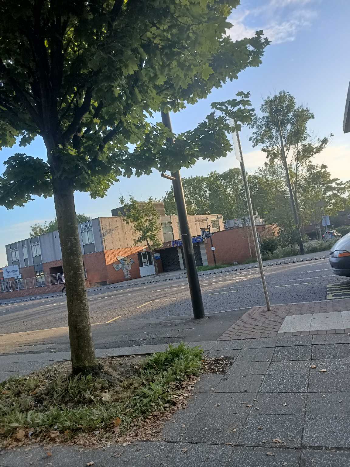 Taken by Anonymous
See Longsight Library & Learning Centre stop, Manchester, on the map
Public transport to Longsight Library & Learning Centre stop (ID: MANADTGW) in Manchester
Looking for directions to Longsight Library & Learning Centre in Manchester, United Kingdom?
Download the Moovit App to find the current schedule and step-by-step directions for Bus, Light rail or Train routes that pass through Longsight Library & Learning Centre.
Looking for the nearest stops closest to Longsight Library & Learning Centre ? Check out this list of closest stops to your destination: Longsight Library & Learning Centre; Longsight Shopping Centre; Stockport Road; Asda; Peel Grove; New Islington (Manchester Metrolink); Ardwick.
Bus: 192, 191, 197, 733, 742, 749, 150, 53, 702, 710, 739.Train: NORTHERN.Light rail: BLUE LINE, PURPLE LINE, YELLOW LINE.
We make riding on public transit to Longsight Library & Learning Centre easy, which is why over 1.5 million users, including users in Manchester trust Moovit as the best app for public transit.
Use the app to navigate to popular places including to the airport, hospital, stadium, grocery store, mall, coffee shop, school, college, and university.
Longsight Library & Learning Centre stop’s code is MANADTGW
The first line to this stop is 192, at 05:06, and the last line is 192 at 00:14.
519 Stockport Road, Manchester, England, United Kingdom
This stop serves Bee Network, Bee Network and Bee Network’s lines
Popular routes from Longsight Library & Learning Centre stop, Manchester
- Longsight Library & Learning Centre,
- Longsight Shopping Centre,
- Stockport Road,
- Asda,
- Peel Grove
Bus stops near Longsight Library & Learning Centre stop
- New Islington (Manchester Metrolink)
Light Rail station near Longsight Library & Learning Centre station
- Ardwick
Train station near Longsight Library & Learning Centre station
- Foregate Street Stop HH,
- Green Lane,
- Kings School,
- Dunlop Road,
- Shudehill (Manchester Metrolink),
- Humphrey Park,
- Kinlay Road,
- Unsworth Medical Centre,
- Littleton Road,
- Ashburton Road West,
- Eton Hill Road,
- Newton Street,
- Keckwick Lane,
- Boundary Road,
- South Road,
- Fleet Lane,
- Brenka Avenue,
- Hornhouse Lane,
- Droylsden (Manchester Metrolink),
- Etihad Campus
Popular public transport stations in Manchester
Get around Manchester by public transport!
Travelling around Manchester has never been so easy. See step by step directions as you travel to any attraction, street or major public transport station. View bus and train timetables, arrival times, service alerts and detailed routes on a map, so you know exactly how to get to anywhere in Manchester.
When travelling to any destination around Manchester use Moovit's Live Directions with Get Off Notifications to know exactly where and how far to walk, how long to wait for your line , and how many stops are left. Moovit will alert you when it’s time to get off — no need to constantly re-check whether yours is the next stop.
Wondering how to use public transport in Manchester or how to pay for public transport in Manchester? Moovit public transport app can help you navigate your way with public transport easily, and at minimum cost. It includes public transport fees, ticket prices, and costs. Looking for a map of Manchester public transport lines? Moovit public transport app shows all public transport maps in Manchester with all Bus, Train, Light rail and Ferry routes and stops on an interactive map.
North West has 4 transport type(s), including: Bus, Train, Light rail and Ferry, operated by several transport agencies, including Arriva North West, Stagecoach Merseyside and South Lancashire, Stagecoach Cumbria and North Lancashire, First Halifax, National Express, Warrington's Own Buses, First Potteries, Blackpool Transport, The Blackburn Bus Company, The Burnley Bus Company, Vision Bus, National Rail, Huyton Travel, Preston Bus and Metrolink