Maple Croft stop - Thursday schedule
| Line | Direction | Time |
|---|---|---|
| 18 | Yardley Wood Depot | 06:28 |
| 18 | Yardley Wood Depot | 06:50 |
| 18 | Yardley Wood Depot | 07:13 |
| 18 | Yardley Wood Depot | 07:33 |
| 18 | Yardley Wood Depot | 07:48 |
| 18 | Yardley Wood Depot | 08:03 |
| 18 | Yardley Wood Depot | 08:17 |
| 18 | Yardley Wood Depot | 08:32 |
| 18 | Yardley Wood Depot | 08:47 |
| 18 | Yardley Wood Depot | 09:00 |
| 18 | Yardley Wood Depot | 09:10 |
| 18 | Yardley Wood Depot | 09:21 |
| 18 | Yardley Wood Depot | 09:32 |
| 18 | Yardley Wood Depot | 09:43 |
| 18 | Yardley Wood Depot | 09:58 |
| 18 | Yardley Wood Depot | 10:11 |
| 18 | Yardley Wood Depot | 10:25 |
| 18 | Yardley Wood Depot | 10:40 |
| 18 | Yardley Wood Depot | 10:55 |
| 18 | Yardley Wood Depot | 11:10 |
| 18 | Yardley Wood Depot | 11:25 |
| 18 | Yardley Wood Depot | 11:40 |
| 18 | Yardley Wood Depot | 11:56 |
| 18 | Yardley Wood Depot | 12:11 |
| 18 | Yardley Wood Depot | 12:26 |
Directions to Maple Croft stop (Brandwood & King's Heath) with public transport
The following transport lines have routes that pass near Maple Croft
 Bus: 18, 50, 50A, 150, 76.
- Train: WEST MIDLANDS RAILWAY.
How to get to Maple Croft stop by bus?
Click on the bus route to see step by step directions with maps, line arrival times and updated time schedules.
How to get to Maple Croft stop by train?
Click on the train route to see step by step directions with maps, line arrival times and updated time schedules.
Bus stops near Maple Croft stop in Brandwood & King's Heath
- Alcester Road Sth, 2 min walk,
- Wynfield Gardens, 2 min walk,
- Featherstone Road, 10 min walk,
Train stations near Maple Croft station in Brandwood & King's Heath
- Bournville, 21 min walk,
Bus lines to Maple Croft stop in Brandwood & King's Heath
- 18, Yardley Wood Depot,
- 50, Birmingham - Druids Heath,
- 50, Druids Heath & Monyhull - Birmingham,
- 50A, Birmingham - Central,
- 150, Brandwood & King's Heath - Central,
- 76, Solihull Town Centre,
What are the nearest stations to Maple Croft?
The nearest stations to Maple Croft are:
- Alcester Road Sth stop is 106 meters away, 2 min walk.
- Wynfield Gardens stop is 127 meters away, 2 min walk.
- Featherstone Road stop is 715 meters away, 10 min walk.
- Bournville station is 1647 meters away, 21 min walk.
Which bus lines stop near Maple Croft?
These bus lines stop near Maple Croft: 18, 50.
Which train line stops near Maple Croft?
WEST MIDLANDS RAILWAY (Kings Norton)
What’s the nearest train station to Maple Croft in Brandwood & King's Heath?
The nearest train station to Maple Croft in Brandwood & King's Heath is Bournville. It’s a 21 min walk away.
What’s the nearest bus station to Maple Croft in Brandwood & King's Heath?
The nearest bus stations to Maple Croft in Brandwood & King's Heath are Alcester Road Sth and Wynfield Gardens. The closest one is a 2 min walk away.
What time is the first train to Maple Croft in Brandwood & King's Heath?
The WEST MIDLANDS RAILWAY is the first train that goes to Maple Croft in Brandwood & King's Heath. It stops nearby at 08:53.
What time is the last train to Maple Croft in Brandwood & King's Heath?
The WEST MIDLANDS RAILWAY is the last train that goes to Maple Croft in Brandwood & King's Heath. It stops nearby at 23:35.
What time is the first bus to Maple Croft in Brandwood & King's Heath?
The 50 is the first bus that goes to Maple Croft in Brandwood & King's Heath. It stops nearby at 05:36.
What time is the last bus to Maple Croft in Brandwood & King's Heath?
The 50 is the last bus that goes to Maple Croft in Brandwood & King's Heath. It stops nearby at 01:25.
Maple Croft station
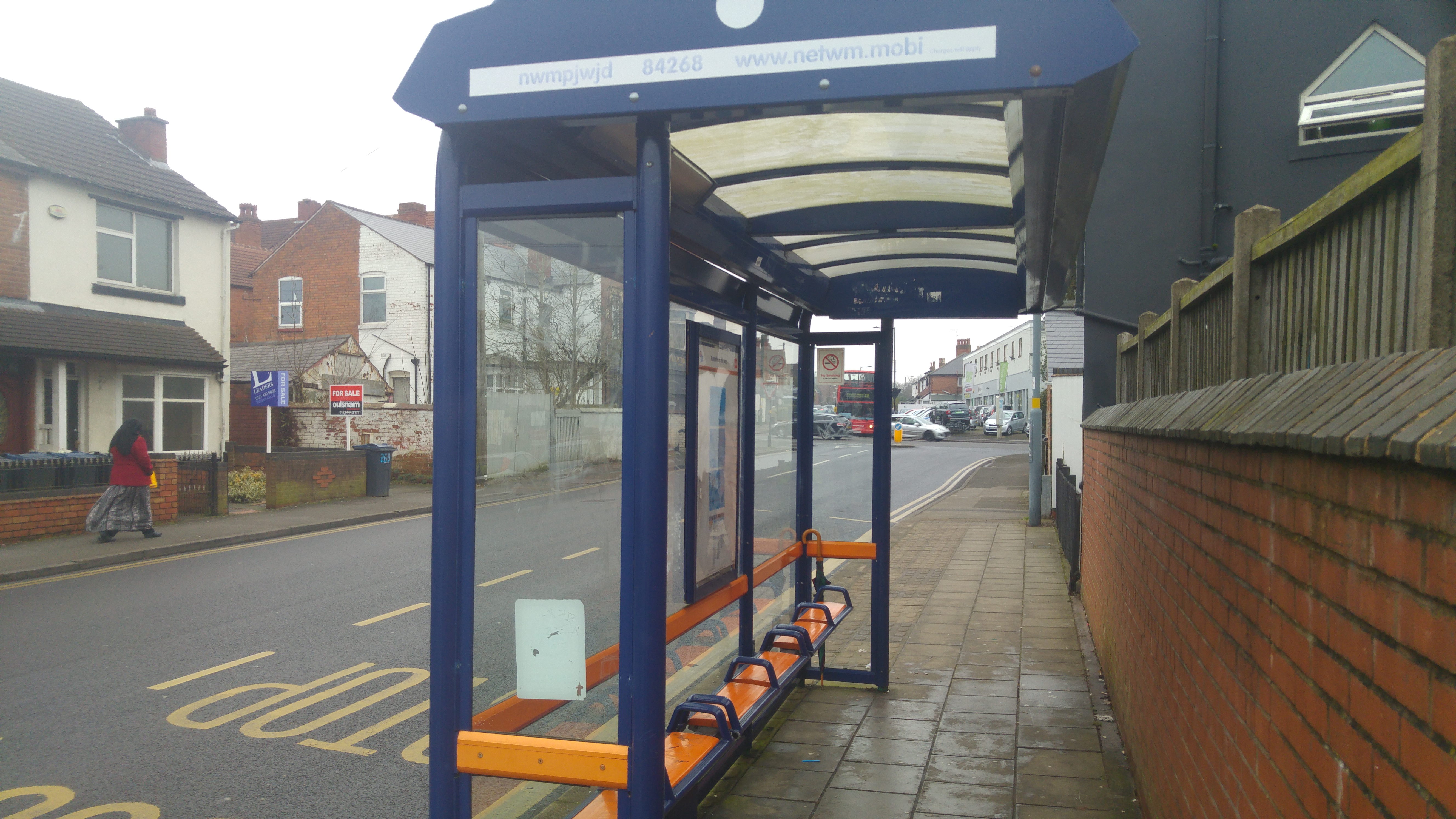 Taken by Pardeep '.
See Maple Croft stop, Brandwood & King's Heath, on the map
Public transport to Maple Croft stop (ID: nwmpjwjd) in Brandwood & King's Heath
Looking for directions to Maple Croft in Brandwood & King's Heath, United Kingdom?
Download the Moovit App to find the current schedule and step-by-step directions for Bus or Train routes that pass through Maple Croft.
Looking for the nearest stops closest to Maple Croft ? Check out this list of closest stops to your destination: Alcester Road Sth; Wynfield Gardens; Featherstone Road; Bournville.
Bus: 18, 50, 50A, 150, 76.Train: WEST MIDLANDS RAILWAY.
We make riding on public transit to Maple Croft easy, which is why over 1.7 billion users, including users in Brandwood & King's Heath trust Moovit as the best app for public transit.
Use the app to navigate to popular places including to the airport, hospital, stadium, grocery store, mall, coffee shop, school, college, and university.
Maple Croft stop’s code is nwmpjwjd
The first line to this stop is 18, at 06:28, and the last line is 18 at 23:55.
20 Taylor Road, Birmingham, England, United Kingdom
This stop serves National Express West Midlands’s lines
- Alcester Road Sth,
- Wynfield Gardens,
- Featherstone Road
Bus stops near Maple Croft stop
- Bournville
Train station near Maple Croft station
- Barnard Road,
- Woodthorpe Gardens,
- Collingwood Centre,
- Spring Road,
- Burrington Road,
- Jews Lane,
- Barnard Close,
- Old Square,
- Warwick Hospital,
- Shifnal,
- Washwood Heath Academy,
- Oldbury Interchange,
- Winson Green Prison,
- South Staffordshire Council Offices,
- Pebble Mill Road,
- Beaufort Avenue,
- Little Lane,
- Harper Adams University,
- Shirley Road,
- Stoke-On-Trent
Popular public transport stations in Brandwood & King's Heath
Get around Brandwood & King's Heath by public transport!
Travelling around Brandwood & King's Heath has never been so easy. See step by step directions as you travel to any attraction, street or major public transport station. View bus and train timetables, arrival times, service alerts and detailed routes on a map, so you know exactly how to get to anywhere in Brandwood & King's Heath.
When travelling to any destination around Brandwood & King's Heath use Moovit's Live Directions with Get Off Notifications to know exactly where and how far to walk, how long to wait for your line , and how many stops are left. Moovit will alert you when it’s time to get off — no need to constantly re-check whether yours is the next stop.
Wondering how to use public transport in Brandwood & King's Heath or how to pay for public transport in Brandwood & King's Heath? Moovit public transport app can help you navigate your way with public transport easily, and at minimum cost. It includes public transport fees, ticket prices, and costs. Looking for a map of Brandwood & King's Heath public transport lines? Moovit public transport app shows all public transport maps in Brandwood & King's Heath with all Bus, Train and Light rail routes and stops on an interactive map.
West Midlands has 3 transport type(s), including: Bus, Train and Light rail, operated by several transport agencies, including National Express West Midlands, National Express Coventry, National Express, Diamond Bus, Arriva Midlands, Stagecoach Midlands, West Midlands Metro, Stagecoach West, Stagecoach South Wales, First Potteries, First Worcestershire, LandFlight, trentbarton, D & G Bus and Flexibus