Mapledene Rd stop - Sunday schedule
| Line | Direction | Time |
|---|---|---|
| 60 | Moor St Selfridges | 06:30 |
| 60 | Moor St Selfridges | 06:30 |
| 60 | Moor St Selfridges | 07:29 |
| 60 | Moor St Selfridges | 07:29 |
| 60 | Moor St Selfridges | 07:59 |
| 60 | Moor St Selfridges | 07:59 |
| 60 | Moor St Selfridges | 08:28 |
| 60 | Moor St Selfridges | 08:28 |
| 60 | Moor St Selfridges | 08:45 |
| 60 | Moor St Selfridges | 08:45 |
| 60 | Moor St Selfridges | 09:04 |
| 60 | Moor St Selfridges | 09:04 |
| 60 | Moor St Selfridges | 09:24 |
| 60 | Moor St Selfridges | 09:24 |
| 60 | Moor St Selfridges | 09:38 |
| 60 | Moor St Selfridges | 09:38 |
| 60 | Moor St Selfridges | 09:53 |
| 60 | Moor St Selfridges | 09:53 |
| 60 | Moor St Selfridges | 10:07 |
| 60 | Moor St Selfridges | 10:07 |
| 60 | Moor St Selfridges | 10:21 |
| 60 | Moor St Selfridges | 10:21 |
| 60 | Moor St Selfridges | 10:39 |
| 60 | Moor St Selfridges | 10:39 |
| 60 | Moor St Selfridges | 10:56 |
Directions to Mapledene Rd stop (Sheldon) with public transport
The following transport lines have routes that pass near Mapledene Rd
 Bus: 60, 72, A10, X1, X1.
- Train: WEST MIDLANDS RAILWAY, AVANTI WEST COAST, CALEDONIAN SLEEPER, CROSSCOUNTRY, TRANSPORT FOR WALES.
How to get to Mapledene Rd stop by bus?
Click on the bus route to see step by step directions with maps, line arrival times and updated time schedules.
How to get to Mapledene Rd stop by train?
Click on the train route to see step by step directions with maps, line arrival times and updated time schedules.
Bus stops near Mapledene Rd stop in Sheldon
- Mapledene Rd, 1 min walk,
- Dovercourt Rd, 4 min walk,
- The Arden Oak, 11 min walk,
- Rosecroft Rd, 15 min walk,
Train stations near Mapledene Rd station in Sheldon
- Acocks Green, 42 min walk,
- Birmingham International, 61 min walk,
Light Rail stations near Mapledene Rd station in Sheldon
- Birmingham Intl Rail Station (Air-Rail Link), 61 min walk,
Bus lines to Mapledene Rd stop in Sheldon
- 60, Moor St Selfridges,
- A10, Solihull Town Centre,
- X1, Dale House,
- X1, B'Ham Airport Bus Terminal,
- 72, Yorkminster Drive,
What are the nearest stations to Mapledene Rd?
The nearest stations to Mapledene Rd are:
- Mapledene Rd is 28 meters away, 1 min walk.
- Dovercourt Rd is 271 meters away, 4 min walk.
- The Arden Oak is 834 meters away, 11 min walk.
- Rosecroft Rd is 1127 meters away, 15 min walk.
- Acocks Green is 3269 meters away, 42 min walk.
- Birmingham Intl Rail Station (Air-Rail Link) is 4721 meters away, 61 min walk.
- Birmingham International is 4721 meters away, 61 min walk.
Which bus lines stop near Mapledene Rd?
These bus lines stop near Mapledene Rd: 60, 72.
Which train line stops near Mapledene Rd?
WEST MIDLANDS RAILWAY (Rugby)
What’s the nearest bus station to Mapledene Rd in Sheldon?
The nearest bus station to Mapledene Rd in Sheldon is Mapledene Rd. It’s a 1 min walk away.
What time is the first light rail to Mapledene Rd in Sheldon?
The AIR is the first light rail that goes to Mapledene Rd in Sheldon. It stops nearby at 03:30.
What time is the last light rail to Mapledene Rd in Sheldon?
The AIR is the last light rail that goes to Mapledene Rd in Sheldon. It stops nearby at 00:32.
What time is the first train to Mapledene Rd in Sheldon?
The AVANTI WEST COAST is the first train that goes to Mapledene Rd in Sheldon. It stops nearby at 08:37.
What time is the last train to Mapledene Rd in Sheldon?
The AVANTI WEST COAST is the last train that goes to Mapledene Rd in Sheldon. It stops nearby at 01:11.
What time is the first bus to Mapledene Rd in Sheldon?
The X1 is the first bus that goes to Mapledene Rd in Sheldon. It stops nearby at 03:25.
What time is the last bus to Mapledene Rd in Sheldon?
The X1 is the last bus that goes to Mapledene Rd in Sheldon. It stops nearby at 03:36.
Mapledene Rd station
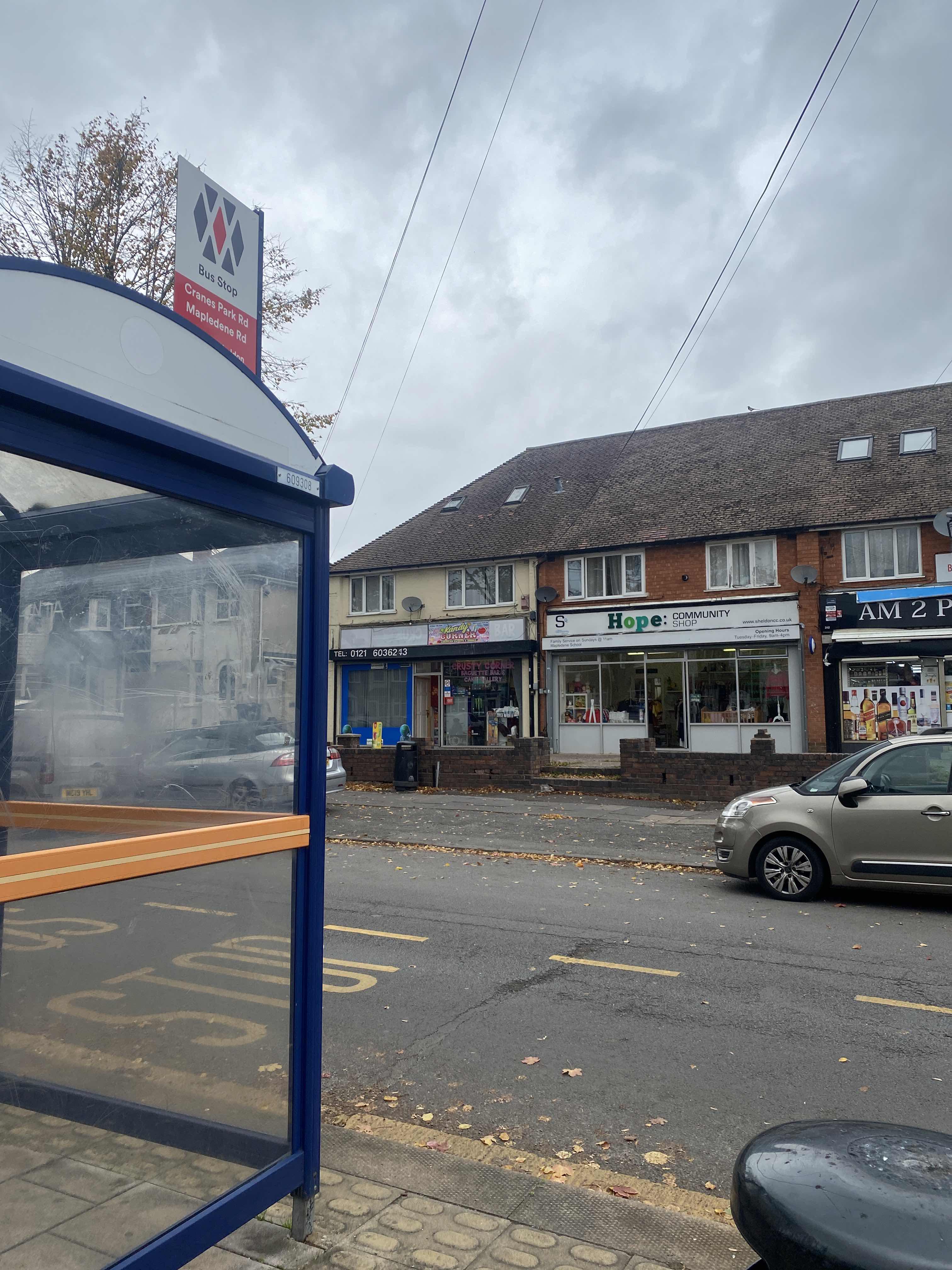 Taken by Minqo
See Mapledene Rd stop, Sheldon, on the map
Public transport to Mapledene Rd stop (ID: nwmdataw) in Sheldon
Looking for directions to Mapledene Rd in Sheldon, United Kingdom?
Download the Moovit App to find the current schedule and step-by-step directions for Bus or Train routes that pass through Mapledene Rd.
Looking for the nearest stops closest to Mapledene Rd ? Check out this list of closest stops to your destination: Mapledene Rd; Dovercourt Rd; The Arden Oak; Rosecroft Rd; Acocks Green; Birmingham Intl Rail Station (Air-Rail Link); Birmingham International.
Bus: 60, 72, A10, X1, X1.Train: WEST MIDLANDS RAILWAY, AVANTI WEST COAST, CALEDONIAN SLEEPER, CROSSCOUNTRY, TRANSPORT FOR WALES.
We make riding on public transit to Mapledene Rd easy, which is why over 1.5 million users, including users in Sheldon trust Moovit as the best app for public transit.
Use the app to navigate to popular places including to the airport, hospital, stadium, grocery store, mall, coffee shop, school, college, and university.
Mapledene Rd stop’s code is nwmdataw
The first line to this stop is 60, at 06:30, and the last line is 60 at 23:38.
This stop serves LandFlight and National Express West Midlands’s lines
Popular routes from Mapledene Rd stop, Sheldon
- Mapledene Rd,
- Dovercourt Rd,
- The Arden Oak,
- Rosecroft Rd
Bus stops near Mapledene Rd stop
- Acocks Green,
- Birmingham International
Train stations near Mapledene Rd station
- Birmingham Intl Rail Station (Air-Rail Link)
Light Rail station near Mapledene Rd station
- Penns Lane,
- Slough,
- Lode Heath School,
- Stream Rd,
- Polesworth School,
- Tamar Drive,
- Ryecroft Cemetery,
- Lyndon Rd,
- St James' Church,
- Sandwell & Dudley Station,
- Frederick Rd,
- Water St,
- Cob Lane,
- Burslem College,
- St George's Church,
- Portobello Bridge,
- Salop Leisure,
- Madeley Centre,
- Leicester Square,
- Swallows Meadow
Popular public transport stations in Sheldon
Get around Sheldon by public transport!
Travelling around Sheldon has never been so easy. See step by step directions as you travel to any attraction, street or major public transport station. View bus and train timetables, arrival times, service alerts and detailed routes on a map, so you know exactly how to get to anywhere in Sheldon.
When travelling to any destination around Sheldon use Moovit's Live Directions with Get Off Notifications to know exactly where and how far to walk, how long to wait for your line , and how many stops are left. Moovit will alert you when it’s time to get off — no need to constantly re-check whether yours is the next stop.
Wondering how to use public transport in Sheldon or how to pay for public transport in Sheldon? Moovit public transport app can help you navigate your way with public transport easily, and at minimum cost. It includes public transport fees, ticket prices, and costs. Looking for a map of Sheldon public transport lines? Moovit public transport app shows all public transport maps in Sheldon with all Bus, Train and Light rail routes and stops on an interactive map.
West Midlands has 3 transport type(s), including: Bus, Train and Light rail, operated by several transport agencies, including National Express West Midlands, National Express Coventry, National Express, Diamond Bus, Arriva Midlands, Stagecoach Midlands, West Midlands Metro, Stagecoach West, Stagecoach South Wales, First Potteries, First Worcestershire, LandFlight, trentbarton, D & G Bus and Flexibus