Marsden Fall Lane stop - Sunday schedule
| Line | Direction | Time |
|---|---|---|
| 184 | Bus Station | 07:52 |
| 184 | Bus Station | 09:52 |
| 184 | Bus Station | 11:52 |
| 184 | Bus Station | 13:52 |
| 184 | Bus Station | 15:52 |
| 184 | Bus Station | 17:52 |
Directions to Marsden Fall Lane stop (Huddersfield) with public transport
The following transport lines have routes that pass near Marsden Fall Lane
 Bus: 184, 383.
- Train: TRANSPENNINE EXPRESS.
How to get to Marsden Fall Lane stop by bus?
Click on the bus route to see step by step directions with maps, line arrival times and updated time schedules.
How to get to Marsden Fall Lane stop by train?
Click on the train route to see step by step directions with maps, line arrival times and updated time schedules.
Bus stops near Marsden Fall Lane stop in Huddersfield
- Marsden Fall Lane, 1 min walk,
- Marsden Market Place, 6 min walk,
Bus lines to Marsden Fall Lane stop in Huddersfield
- 184, Bus Station,
- 383, Marsden Dirker,
What are the nearest stations to Marsden Fall Lane?
The nearest stations to Marsden Fall Lane are:
- Marsden Fall Lane stop is 23 meters away, 1 min walk.
- Marsden Market Place stop is 396 meters away, 6 min walk.
Which bus lines stop near Marsden Fall Lane?
These bus lines stop near Marsden Fall Lane: 184, 383.
Which train line stops near Marsden Fall Lane?
TRANSPENNINE EXPRESS (Manchester Piccadilly)
What’s the nearest bus station to Marsden Fall Lane in Huddersfield?
The nearest bus station to Marsden Fall Lane in Huddersfield is Marsden Fall Lane. It’s a 1 min walk away.
What time is the first bus to Marsden Fall Lane in Huddersfield?
The 383 is the first bus that goes to Marsden Fall Lane in Huddersfield. It stops nearby at 04:55.
What time is the last bus to Marsden Fall Lane in Huddersfield?
The 383 is the last bus that goes to Marsden Fall Lane in Huddersfield. It stops nearby at 23:49.
Marsden Fall Lane station
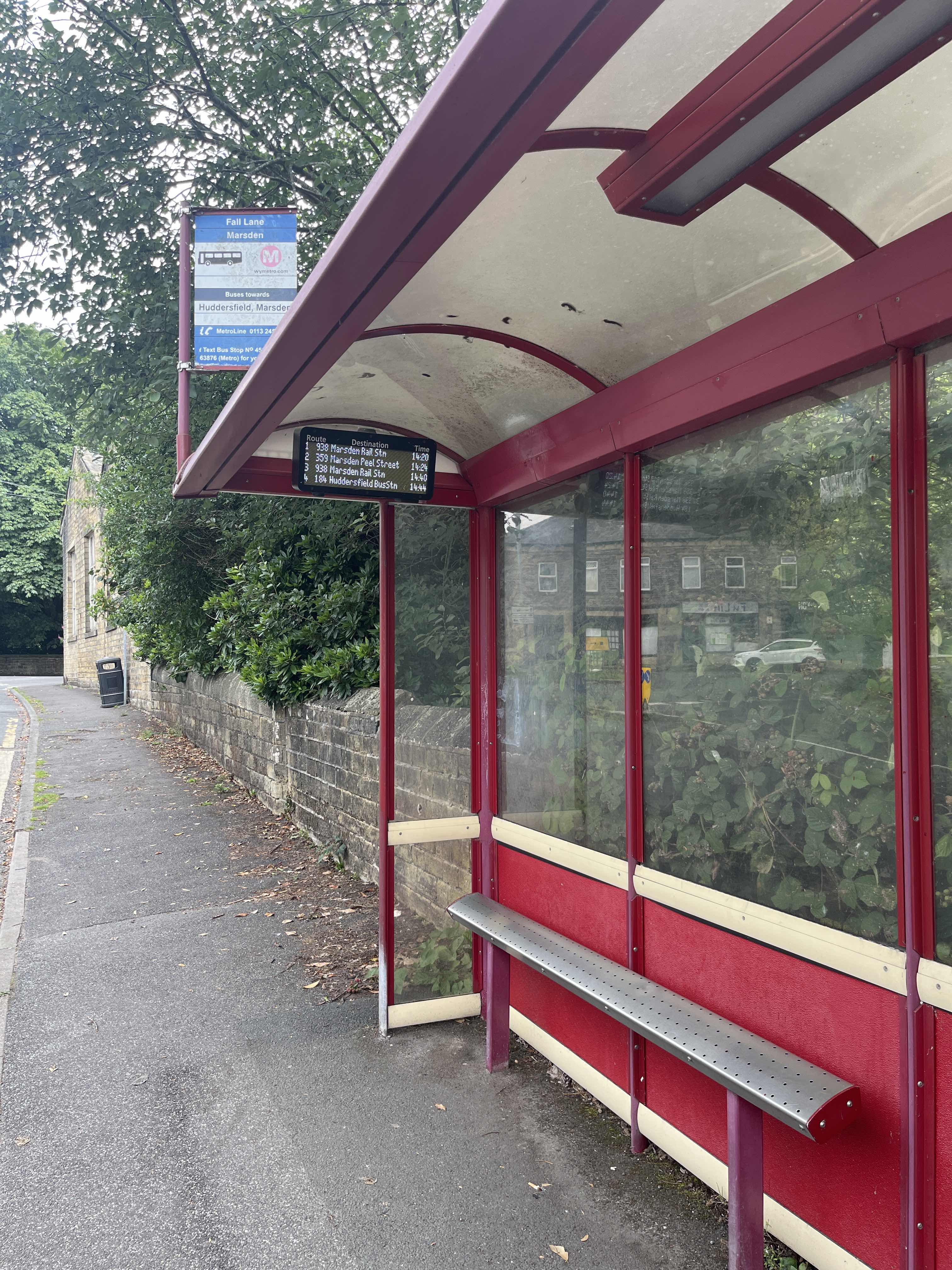 Taken by Anonymous
See Marsden Fall Lane stop, Huddersfield, on the map
Public transport to Marsden Fall Lane stop (ID: 45019256) in Huddersfield
Looking for directions to Marsden Fall Lane in Huddersfield, United Kingdom?
Download the Moovit App to find the current schedule and step-by-step directions for Bus or Train routes that pass through Marsden Fall Lane.
Looking for the nearest stops closest to Marsden Fall Lane ? Check out this list of closest stops to your destination: Marsden Fall Lane; Marsden Market Place.
Bus: 184, 383.Train: TRANSPENNINE EXPRESS.
We make riding on public transit to Marsden Fall Lane easy, which is why over 1.7 billion users, including users in Huddersfield trust Moovit as the best app for public transit.
Use the app to navigate to popular places including to the airport, hospital, stadium, grocery store, mall, coffee shop, school, college, and university.
Marsden Fall Lane stop’s code is 45019256
The first line to this stop is 184, at 07:52, and the last line is 184 at 17:52.
This stop serves Bee Network’s lines
- Marsden Fall Lane,
- Marsden Market Place
Bus stops near Marsden Fall Lane stop
- Fox Inn,
- Corporation Street/Market Street,
- South Parade/Regent Square,
- Stourton Park And Ride,
- Ellesmere Road/Gower Street,
- Queens Road/Guernsey Road,
- Nun Monkton Lane End,
- Denby Dale,
- Goole Rawcliffe Road,
- Anlaby Springfield Way,
- Beverley Armstrong Way,
- Trinity L,
- Warren Vale/Kilnhurst Road,
- Thorpe Drive/May Tree Lane,
- Arriva Bus Depot,
- Ecclesall Road/Neill Road,
- Cottingham Green Lane,
- Ripley Road,
- Doncaster Road/Hill Top Road,
- Linton Lane
Popular public transport stations in Huddersfield
Get around Huddersfield by public transport!
Travelling around Huddersfield has never been so easy. See step by step directions as you travel to any attraction, street or major public transport station. View bus and train timetables, arrival times, service alerts and detailed routes on a map, so you know exactly how to get to anywhere in Huddersfield.
When travelling to any destination around Huddersfield use Moovit's Live Directions with Get Off Notifications to know exactly where and how far to walk, how long to wait for your line , and how many stops are left. Moovit will alert you when it’s time to get off — no need to constantly re-check whether yours is the next stop.
Wondering how to use public transport in Huddersfield or how to pay for public transport in Huddersfield? Moovit public transport app can help you navigate your way with public transport easily, and at minimum cost. It includes public transport fees, ticket prices, and costs. Looking for a map of Huddersfield public transport lines? Moovit public transport app shows all public transport maps in Huddersfield with all Bus, Train and Light rail routes and stops on an interactive map.
Yorkshire has 3 transport type(s), including: Bus, Train and Light rail, operated by several transport agencies, including First Leeds, First South Yorkshire, First York, Arriva Yorkshire, Stagecoach Yorkshire, National Rail, First Bradford, First Halifax, Calder Valley & Huddersfield, East Yorkshire, The Keighley Bus Company, South Yorkshire Future Tram, The Harrogate Bus Company, TM Travel, Coastliner and Stevenson's Travel