Directions to Maylands Police Complex with public transportation
The following transport lines have routes that pass near Maylands Police Complex
 Bus: 42, 43.
- Train: AIRPORT LINE, MIDLAND LINE, ELLENBROOK LINE.
How to get to Maylands Police Complex by bus?
Click on the bus route to see step by step directions with maps, line arrival times and updated time schedules.
How to get to Maylands Police Complex by train?
Click on the train route to see step by step directions with maps, line arrival times and updated time schedules.
Bus stop near Maylands Police Complex
- Boat Ramp Rd After Clarkson Rd, 6 min walk,VIEW
Train station near Maylands Police Complex
- East Perth Stn, 16 min walk,VIEW
What are the nearest stations to Maylands Police Complex?
The nearest stations to Maylands Police Complex are:
- Boat Ramp Rd After Clarkson Rd is 414 meters away, 6 min walk.
- East Perth Stn is 1203 meters away, 16 min walk.
Which bus lines stop near Maylands Police Complex?
These bus lines stop near Maylands Police Complex: 42, 43.
Which train lines stop near Maylands Police Complex?
These train lines stop near Maylands Police Complex: AIRPORT LINE, MIDLAND LINE.
What’s the nearest train station to Maylands Police Complex?
The nearest train station to Maylands Police Complex is East Perth Stn. It’s a 16 min walk away.
What’s the nearest bus station to Maylands Police Complex?
The nearest bus station to Maylands Police Complex is Boat Ramp Rd After Clarkson Rd. It’s a 6 min walk away.
What time is the first train to Maylands Police Complex?
The AIRPORT LINE is the first train that goes to Maylands Police Complex. It stops nearby at 05:13.
What time is the last train to Maylands Police Complex?
The AIRPORT LINE is the last train that goes to Maylands Police Complex. It stops nearby at 00:20.
What time is the first bus to Maylands Police Complex?
The 42 is the first bus that goes to Maylands Police Complex. It stops nearby at 04:55.
What time is the last bus to Maylands Police Complex?
The 901 is the last bus that goes to Maylands Police Complex. It stops nearby at 00:21.
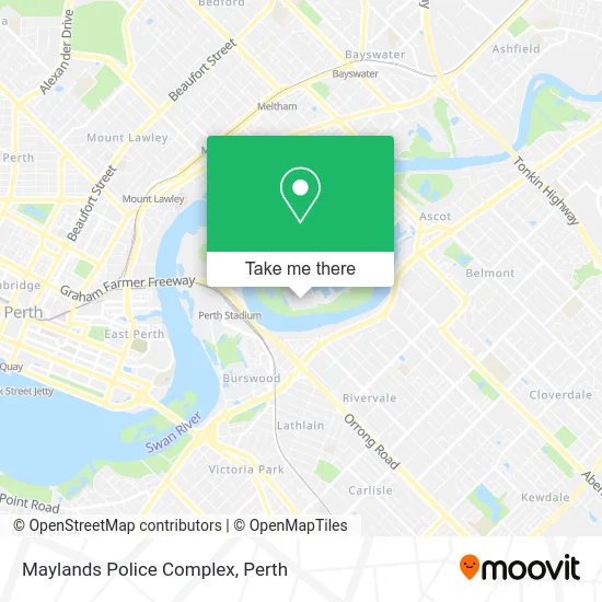
See Maylands Police Complex on the map
Public Transportation to Maylands Police Complex
Wondering how to get to Maylands Police Complex? Moovit helps you find the best way to get to Maylands Police Complex with step-by-step directions from the nearest public transit station.
Moovit provides free maps and live directions to help you navigate through your city. View schedules, routes, timetables, and find out how long does it take to get to Maylands Police Complex in real time.
Looking for the nearest stop or station to Maylands Police Complex? Check out this list of stops closest to your destination: Boat Ramp Rd After Clarkson Rd; East Perth Stn.
Bus: 42, 43.Train: AIRPORT LINE, MIDLAND LINE, ELLENBROOK LINE.
Want to see if there’s another route that gets you there at an earlier time? Moovit helps you find alternative routes or times. Get directions from and directions to Maylands Police Complex easily from the Moovit App or Website.
We make riding to Maylands Police Complex easy, which is why over 1.5 million users, including users in Maylands, trust Moovit as the best app for public transit. You don’t need to download an individual bus app or train app, Moovit is your all-in-one transit app that helps you find the best bus time or train time available.
For information on prices of bus and train, costs and ride fares to Maylands Police Complex, please check the Moovit app.
Use the app to navigate to popular places including to the airport, hospital, stadium, grocery store, mall, coffee shop, school, college, and university.
Maylands Police Complex Address: Swanbank Rd. street in Maylands
- Burswood Lodge,
- 1-3 Minora Place,
- Aloft Perth,
- 27 Rowe Avenue,
- Two Pines Nursing Home,
- 62 Great Eastern Highway,
- I. Brows by Rosie Gonzalez,
- Clarkson Reserve,
- Great Eastern Motor Lodge,
- Flag Motor Lodge,
- Peninsula Farm,
- State Route 8,
- Toorak Lodge,
- Maylands Peninsula Golf Course,
- Tranby House & Tea Rooms,
- WA State Tennis Centre,
- Car Park,
- Campervan Hire Perth - Wicked Campers,
- Tranby House,
- Blasta Brewing Company
Places Near Maylands Police Complex
- Crown Perth Casino, Burswood,
- Optus Stadium, Burswood,
- Mount Hospital, Perth,
- Langley Park, Perth,
- Karrinyup Shopping Centre, Karrinyup,
- Yankee Mart, Baldivis,
- McCallum Park, Victoria Park,
- Sir Charles Gairdner Hospital, Nedlands,
- Fiona Stanley Hospital, Murdoch,
- Scitech, West Perth,
- Pelicaan Investment Ho, Bellevue,
- Perth Convention Exhibition Centre, Perth,
- Rac Arena, Perth,
- Westfield Carousel, Cannington,
- IKEA, Innaloo,
- Royal Perth Hospital, Perth,
- Aqwa Aquarium, Hillarys,
- DFO, Perth Airport,
- Blue Boat House,
- Hillarys Boat Harbour
How to get to popular places in Perth with public transport
Get around Maylands by public transport!
Travelling around Maylands has never been so easy. See step by step directions as you travel to any attraction, street or major public transport station. View bus and train timetables, arrival times, service alerts and detailed routes on a map, so you know exactly how to get to anywhere in Maylands.
When travelling to any destination around Maylands use Moovit's Live Directions with Get Off Notifications to know exactly where and how far to walk, how long to wait for your line , and how many stops are left. Moovit will alert you when it’s time to get off — no need to constantly re-check whether yours is the next stop.
Wondering how to use public transport in Maylands or how to pay for public transport in Maylands? Moovit public transport app can help you navigate your way with public transport easily, and at minimum cost. It includes public transport fees, ticket prices, and costs. Looking for a map of Maylands public transport lines? Moovit public transport app shows all public transport maps in Maylands with all Bus, Train and Ferry routes and stops on an interactive map.
Perth has 3 transport type(s), including: Bus, Train and Ferry, operated by several transport agencies, including Transperth Rail, Transwa, Transperth Ferry, Transperth, TransBusselton, TransAlbany, TransGoldfields, TransEsperance, TransGeraldton, TransCarnarvon, TransHedland, TransKarratha, TransBunbury, Mandurah Bus Charter and TransBroome