Moorfields stop - Wednesday schedule
| Line | Direction | Time |
|---|---|---|
| 10A | Liverpool One Bus Station | 04:57 |
| 27 | Liverpool One Bus Station | 05:16 |
| 27 | Liverpool One Bus Station | 05:17 |
| 10A | Liverpool One Bus Station | 05:39 |
| 27 | Liverpool One Bus Station | 05:44 |
| 27 | Liverpool One Bus Station | 05:46 |
| 10A | Liverpool One Bus Station | 05:48 |
| 10A | Liverpool One Bus Station | 05:59 |
| 27 | Liverpool One Bus Station | 06:09 |
| 10A | Liverpool One Bus Station | 06:17 |
| 27 | Liverpool One Bus Station | 06:17 |
| 27 | Liverpool One Bus Station | 06:24 |
| 10A | Liverpool One Bus Station | 06:25 |
| 27 | Liverpool One Bus Station | 06:27 |
| 18 | Liverpool One Bus Station | 06:28 |
| 10A | Liverpool One Bus Station | 06:34 |
| 27 | Liverpool One Bus Station | 06:37 |
| 18 | Liverpool One Bus Station | 06:39 |
| 10A | Liverpool One Bus Station | 06:40 |
| 27 | Liverpool One Bus Station | 06:48 |
| 18 | Liverpool One Bus Station | 06:48 |
| 27 | Liverpool One Bus Station | 06:49 |
| 10A | Liverpool One Bus Station | 06:53 |
| 10A | Liverpool One Bus Station | 06:55 |
| 27 | Liverpool One Bus Station | 06:57 |
Directions to Moorfields stop (Liverpool) with public transport
The following transport lines have routes that pass near Moorfields
How to get to Moorfields stop by bus?
Click on the bus route to see step by step directions with maps, line arrival times and updated time schedules.
How to get to Moorfields stop by train?
Click on the train route to see step by step directions with maps, line arrival times and updated time schedules.
Bus stops near Moorfields stop in Liverpool
- Moorfields, 2 min walk,
- Cumberland Street, 2 min walk,
- North John Street, 2 min walk,
- Crosshall Street, 3 min walk,
- Dale Street, 4 min walk,
- Victoria Street, 4 min walk,
- The Metquarter, 4 min walk,
- Whitechapel, 5 min walk,
- Bixteth Street, 16 min walk,
Ferry stations near Moorfields station in Liverpool
- Liverpool Pier Head Ferry Terminal, 15 min walk,
Train stations near Moorfields station in Liverpool
- Liverpool Lime Street, 19 min walk,
Bus lines to Moorfields stop in Liverpool
- MERSEYRAIL, Ormskirk,
- N1, Liverpool - Birkenhead,
- 12, Liverpool,
- 13, Liverpool,
- 14, Liverpool - Croxteth,
- 14, Croxteth - Liverpool,
- 14A, Liverpool - Kirkby,
- 14B, Liverpool - Knowsley,
- 14C, Kirkby - Liverpool,
- 17, Liverpool - Fazakerley,
- 17A, Liverpool - Kirkby,
- 19, Liverpool - Kirkby,
- 20, Liverpool - Kirkby,
- 464, Bebington - Liverpool,
- 471, Liverpool - Heswall,
- 472, Heswall - Liverpool,
- 838, Hunts Cross - Seaforth,
- 136, Liverpool One Bus Station,
- 407, Chadwick Street,
- 423, Conway Street,
What are the nearest stations to Moorfields?
The nearest stations to Moorfields are:
- Moorfields is 79 meters away, 2 min walk.
- Cumberland Street is 94 meters away, 2 min walk.
- North John Street is 114 meters away, 2 min walk.
- Crosshall Street is 183 meters away, 3 min walk.
- Dale Street is 245 meters away, 4 min walk.
- Victoria Street is 270 meters away, 4 min walk.
- The Metquarter is 292 meters away, 4 min walk.
- Whitechapel is 337 meters away, 5 min walk.
- Liverpool Pier Head Ferry Terminal is 1124 meters away, 15 min walk.
- Bixteth Street is 1181 meters away, 16 min walk.
- Liverpool Lime Street is 1450 meters away, 19 min walk.
Which bus lines stop near Moorfields?
These bus lines stop near Moorfields: 10A, 18, 423, 47, 80A, 82.
Which train lines stop near Moorfields?
These train lines stop near Moorfields: MERSEYRAIL, NORTHERN, TRANSPENNINE EXPRESS.
What’s the nearest train station to Moorfields in Liverpool?
The nearest train station to Moorfields in Liverpool is Liverpool Lime Street. It’s a 19 min walk away.
What’s the nearest bus station to Moorfields in Liverpool?
The nearest bus stations to Moorfields in Liverpool are Moorfields, Cumberland Street and North John Street. The closest one is a 2 min walk away.
What’s the nearest ferry station to Moorfields in Liverpool?
The nearest ferry station to Moorfields in Liverpool is Liverpool Pier Head Ferry Terminal. It’s a 15 min walk away.
What time is the first train to Moorfields in Liverpool?
The MERSEYRAIL is the first train that goes to Moorfields in Liverpool. It stops nearby at 07:54.
What time is the last train to Moorfields in Liverpool?
The AVANTI WEST COAST is the last train that goes to Moorfields in Liverpool. It stops nearby at 00:28.
What time is the first bus to Moorfields in Liverpool?
The N1 is the first bus that goes to Moorfields in Liverpool. It stops nearby at 03:22.
What time is the last bus to Moorfields in Liverpool?
The 437 is the last bus that goes to Moorfields in Liverpool. It stops nearby at 00:18.
What time is the first ferry to Moorfields in Liverpool?
The FER is the first ferry that goes to Moorfields in Liverpool. It stops nearby at 10:00.
What time is the last ferry to Moorfields in Liverpool?
The FER is the last ferry that goes to Moorfields in Liverpool. It stops nearby at 17:50.
Moorfields station
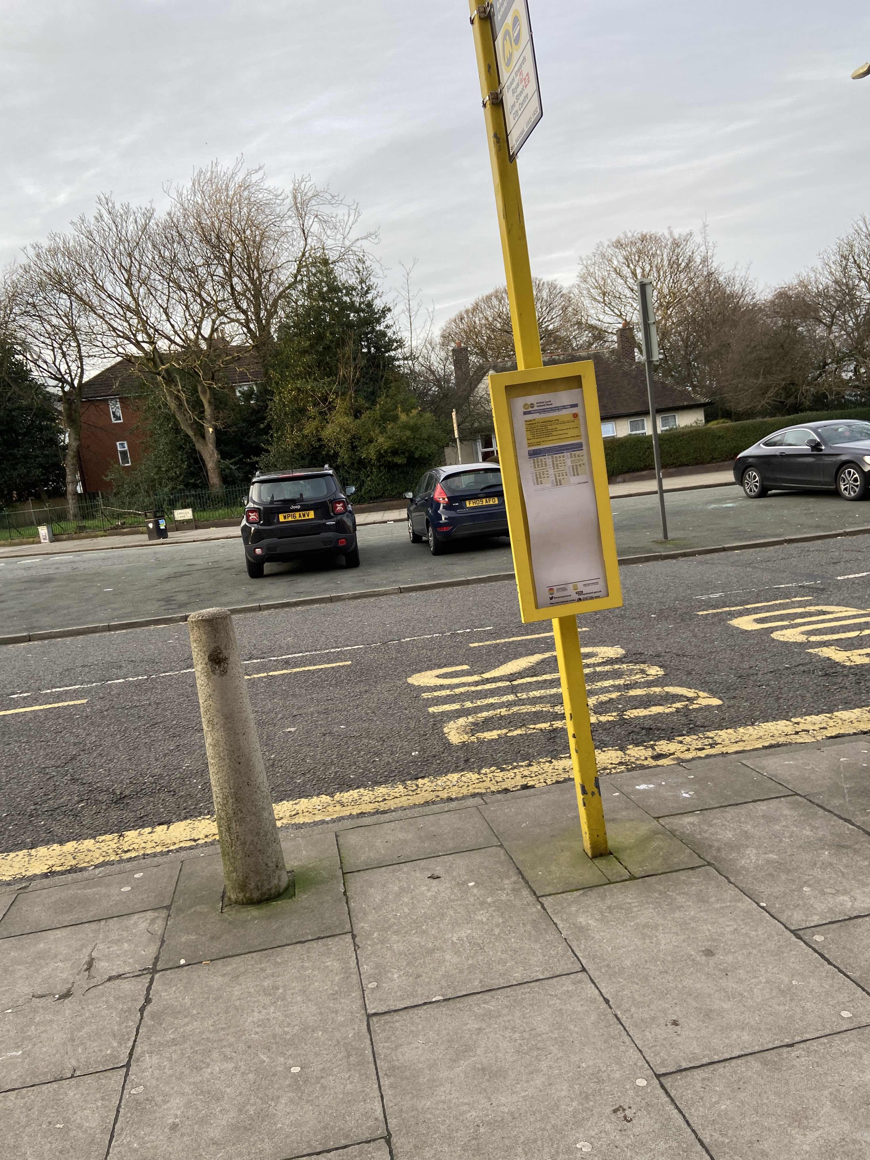 Taken by Anonymous
See Moorfields stop, Liverpool, on the map
Public transport to Moorfields stop (ID: merdjdmj) in Liverpool
Looking for directions to Moorfields in Liverpool, United Kingdom?
Download the Moovit App to find the current schedule and step-by-step directions for Bus or Train routes that pass through Moorfields.
Looking for the nearest stops closest to Moorfields ? Check out this list of closest stops to your destination: Moorfields; Cumberland Street; North John Street; Crosshall Street; Dale Street; Victoria Street; The Metquarter; Whitechapel; Liverpool Pier Head Ferry Terminal; Bixteth Street; Liverpool Lime Street.
Bus: 10A, 18, 423, 47, 80A, 82, MERSEYRAIL, N1, 12, 13, 14, 14, 136, 407, 432, 433, 437.Train: MERSEYRAIL, NORTHERN, TRANSPENNINE EXPRESS, AVANTI WEST COAST, EAST MIDLANDS RAILWAY.Ferry: FER.
We make riding on public transit to Moorfields easy, which is why over 1.5 million users, including users in Liverpool trust Moovit as the best app for public transit.
Use the app to navigate to popular places including to the airport, hospital, stadium, grocery store, mall, coffee shop, school, college, and university.
Moorfields stop’s code is merdjdmj
The first line to this stop is 10A, at 04:57, and the last line is 27 at 00:02.
6 Stanley Street, Liverpool, England, United Kingdom
This stop serves Arriva North West and Stagecoach Merseyside and South Lancashire’s lines
Bus stops near Moorfields stop
Ferry station near Moorfields station
Train station near Moorfields station
Popular public transport stations in Liverpool
Get around Liverpool by public transport!
Travelling around Liverpool has never been so easy. See step by step directions as you travel to any attraction, street or major public transport station. View bus and train timetables, arrival times, service alerts and detailed routes on a map, so you know exactly how to get to anywhere in Liverpool.
When travelling to any destination around Liverpool use Moovit's Live Directions with Get Off Notifications to know exactly where and how far to walk, how long to wait for your line , and how many stops are left. Moovit will alert you when it’s time to get off — no need to constantly re-check whether yours is the next stop.
Wondering how to use public transport in Liverpool or how to pay for public transport in Liverpool? Moovit public transport app can help you navigate your way with public transport easily, and at minimum cost. It includes public transport fees, ticket prices, and costs. Looking for a map of Liverpool public transport lines? Moovit public transport app shows all public transport maps in Liverpool with all Bus, Train, Light rail and Ferry routes and stops on an interactive map.
North West has 4 transport type(s), including: Bus, Train, Light rail and Ferry, operated by several transport agencies, including Arriva North West, Stagecoach Merseyside and South Lancashire, Stagecoach Cumbria and North Lancashire, First Halifax, National Express, Warrington's Own Buses, First Potteries, Rosso, Blackpool Transport, The Blackburn Bus Company, The Burnley Bus Company, Vision Bus, National Rail, Huyton Travel and Stotts Tours