Directions to Norfolk Musalla (Karrakatta) with public transport
The following transport lines have routes that pass near Norfolk Musalla
 Bus: 27, 28, 995, 998, 999.
- Train: AIRPORT LINE, FREMANTLE LINE, 906.
How to get to Norfolk Musalla by bus?
Click on the bus route to see step by step directions with maps, line arrival times and updated time schedules.
From Bentley, Bentley
71 minFrom Clancy's Fish Pub, Fremantle
67 minFrom Claisebrook Station, Perth
55 minFrom south-perth ferry, Perth
41 minFrom Duxton Hotel, Perth
41 minFrom Inglewood, Inglewood
74 minFrom Gwelup, Gwelup
69 minFrom East Victoria Park, East Victoria Park
67 minFrom Fremantle Cemetery, Palmyra
90 minFrom Citadines St Georges Terrace, Perth
37 min
How to get to Norfolk Musalla by train?
Click on the train route to see step by step directions with maps, line arrival times and updated time schedules.
Bus stops near Norfolk Musalla in Karrakatta
Train station near Norfolk Musalla in Karrakatta
- Karrakatta Stn, 36 min walk,VIEW
Bus lines to Norfolk Musalla in Karrakatta
What are the nearest stations to Norfolk Musalla?
The nearest stations to Norfolk Musalla are:
- Alfred Rd Before Brockway Rd is 859 meters away, 12 min walk.
- Smyth Rd After Karella St is 1058 meters away, 14 min walk.
- Karrakatta Stn is 2764 meters away, 36 min walk.
Which bus lines stop near Norfolk Musalla?
These bus lines stop near Norfolk Musalla: 27, 28, 995, 998, 999.
Which train lines stop near Norfolk Musalla?
These train lines stop near Norfolk Musalla: AIRPORT LINE, FREMANTLE LINE.
What’s the nearest bus station to Norfolk Musalla in Karrakatta?
The nearest bus station to Norfolk Musalla in Karrakatta is Alfred Rd Before Brockway Rd. It’s a 12 min walk away.
What time is the first train to Norfolk Musalla in Karrakatta?
The FREMANTLE LINE is the first train that goes to Norfolk Musalla in Karrakatta. It stops nearby at 05:30.
What time is the last train to Norfolk Musalla in Karrakatta?
The FREMANTLE LINE is the last train that goes to Norfolk Musalla in Karrakatta. It stops nearby at 00:33.
What time is the first bus to Norfolk Musalla in Karrakatta?
The 27 is the first bus that goes to Norfolk Musalla in Karrakatta. It stops nearby at 06:01.
What time is the last bus to Norfolk Musalla in Karrakatta?
The 27 is the last bus that goes to Norfolk Musalla in Karrakatta. It stops nearby at 22:05.
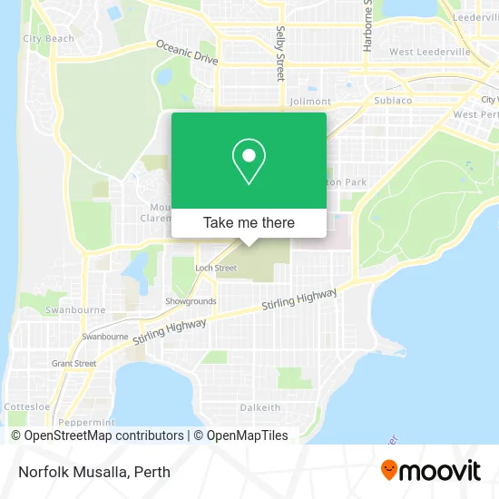
See Norfolk Musalla, Karrakatta, on the map
Public Transit to Norfolk Musalla in Karrakatta
Wondering how to get to Norfolk Musalla in Karrakatta? Moovit helps you find the best way to get to Norfolk Musalla with step-by-step directions from the nearest public transit station.
Moovit provides free maps and live directions to help you navigate through your city. View schedules, routes, timetables, and find out how long does it take to get to Norfolk Musalla in real time.
Looking for the nearest stop or station to Norfolk Musalla? Check out this list of stops closest to your destination: Alfred Rd Before Brockway Rd; Smyth Rd After Karella St; Karrakatta Stn.
Bus: 27, 28, 995, 998, 999, 25.Train: AIRPORT LINE, FREMANTLE LINE, 906.
Want to see if there’s another route that gets you there at an earlier time? Moovit helps you find alternative routes or times. Get directions from and directions to Norfolk Musalla easily from the Moovit App or Website.
We make riding to Norfolk Musalla easy, which is why over 1.5 million users, including users in Karrakatta, trust Moovit as the best app for public transit. You don’t need to download an individual bus app or train app, Moovit is your all-in-one transit app that helps you find the best bus time or train time available.
For information on prices of train and bus, costs and ride fares to Norfolk Musalla, please check the Moovit app.
Use the app to navigate to popular places including to the airport, hospital, stadium, grocery store, mall, coffee shop, school, college, and university.
Norfolk Musalla Address: Karrakatta WA 6010 street in Karrakatta
- Norfolk Chapel,
- Karrakatta Cemeteries Functions & Events by Celeste,
- Dench Chapel,
- Dench Musalla,
- Karrakatta Cemetery,
- Metropolitan Cemeteries Board,
- Karrakatta Cafe by Celeste,
- General Cemetery,
- Karrakatta Station Car Park,
- Karrakatta Station Parking,
- Karrakatta Cemetery Car Park,
- Congregational Cemetery,
- Terrace Mews,
- Grace Home,
- Odeion Pty,
- Hobbs Artillery Park,
- Village Early Learning Claremont,
- Throssell VC Club,
- Andrew's Perth Services,
- The Commercial Egg Producers Association of Western Australia
Places Near Norfolk Musalla (Karrakatta)
- Fiona Stanley Hospital, Murdoch,
- Perth Convention Exhibition Centre, Perth,
- Scitech, West Perth,
- McCallum Park, Victoria Park,
- Westfield Carousel, Cannington,
- Langley Park, Perth,
- Hillarys Boat Harbour,
- Royal Perth Hospital, Perth,
- Aqwa Aquarium, Hillarys,
- Pelicaan Investment Ho, Bellevue,
- Yankee Mart, Baldivis,
- DFO, Perth Airport,
- Karrinyup Shopping Centre, Karrinyup,
- Sir Charles Gairdner Hospital, Nedlands,
- Rac Arena, Perth,
- Optus Stadium, Burswood,
- Crown Perth Casino, Burswood,
- IKEA, Innaloo,
- Blue Boat House,
- Mount Hospital, Perth
How to get to popular places in Perth with public transport
Get around Karrakatta by public transport!
Travelling around Karrakatta has never been so easy. See step by step directions as you travel to any attraction, street or major public transport station. View bus and train timetables, arrival times, service alerts and detailed routes on a map, so you know exactly how to get to anywhere in Karrakatta.
When travelling to any destination around Karrakatta use Moovit's Live Directions with Get Off Notifications to know exactly where and how far to walk, how long to wait for your line , and how many stops are left. Moovit will alert you when it’s time to get off — no need to constantly re-check whether yours is the next stop.
Wondering how to use public transport in Karrakatta or how to pay for public transport in Karrakatta? Moovit public transport app can help you navigate your way with public transport easily, and at minimum cost. It includes public transport fees, ticket prices, and costs. Looking for a map of Karrakatta public transport lines? Moovit public transport app shows all public transport maps in Karrakatta with all Bus, Train and Ferry routes and stops on an interactive map.
Perth has 3 transport type(s), including: Bus, Train and Ferry, operated by several transport agencies, including Transperth Rail, Transwa, Transperth Ferry, Transperth, TransBusselton, TransAlbany, TransGoldfields, TransEsperance, TransGeraldton, TransCarnarvon, TransHedland, TransKarratha, TransBunbury, Mandurah Bus Charter and TransBroome