How to get to Open Gym by bus?
Click on the bus route to see step by step directions with maps, line arrival times and updated time schedules.
From Yallingup, Yallingup
147 minFrom Brunswick Junction, Brunswick
77 minFrom Caves House Hotel Yallingup, Yallingup
137 minFrom Our Lady Of Mercy College, Australind
70 minFrom Pinjarra Park Racecourse, Meelon
151 minFrom Brunswick Show, Brunswick
79 minFrom Australind Senior High School, Australind
84 minFrom Treendale Shopping Centre, Australind
59 min
Bus stops near Open Gym in Bunbury
Bus lines to Open Gym in Bunbury
What are the nearest stations to Open Gym?
The nearest stations to Open Gym are:
- Koombana Dr Koombana Dr Temp Stop is 305 meters away, 5 min walk.
- Austral Pde Before Richmond St is 1616 meters away, 21 min walk.
- Blair St After Stirling St is 2245 meters away, 29 min walk.
Which bus lines stop near Open Gym?
These bus lines stop near Open Gym: 825, 840, 841.
What’s the nearest bus station to Open Gym in Bunbury?
The nearest bus station to Open Gym in Bunbury is Koombana Dr Koombana Dr Temp Stop. It’s a 5 min walk away.
What time is the first bus to Open Gym in Bunbury?
The 844 is the first bus that goes to Open Gym in Bunbury. It stops nearby at 06:56.
What time is the last bus to Open Gym in Bunbury?
The 826 is the last bus that goes to Open Gym in Bunbury. It stops nearby at 20:38.
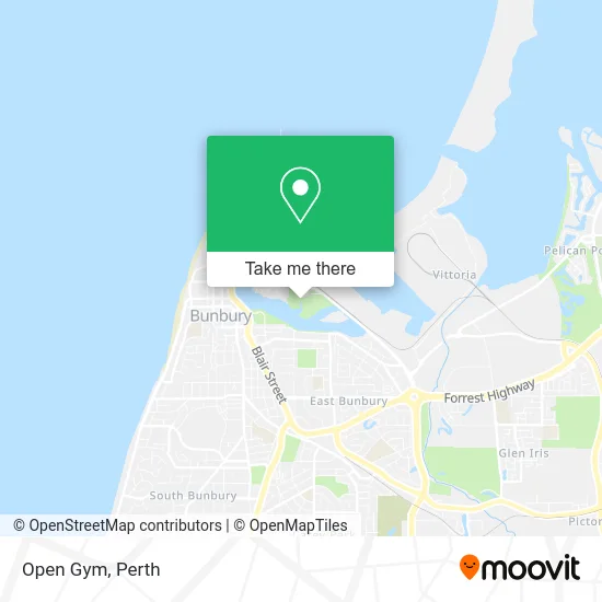
See Open Gym, Bunbury, on the map
Public Transit to Open Gym in Bunbury
Wondering how to get to Open Gym in Bunbury? Moovit helps you find the best way to get to Open Gym with step-by-step directions from the nearest public transit station.
Moovit provides free maps and live directions to help you navigate through your city. View schedules, routes, timetables, and find out how long does it take to get to Open Gym in real time.
Looking for the nearest stop or station to Open Gym? Check out this list of stops closest to your destination: Koombana Dr Koombana Dr Temp Stop; Austral Pde Before Richmond St; Blair St After Stirling St.
Bus: 825, 840, 841, 827, 826, 844.
Want to see if there’s another route that gets you there at an earlier time? Moovit helps you find alternative routes or times. Get directions from and directions to Open Gym easily from the Moovit App or Website.
We make riding to Open Gym easy, which is why over 1.5 million users, including users in Bunbury, trust Moovit as the best app for public transit. You don’t need to download an individual bus app or train app, Moovit is your all-in-one transit app that helps you find the best bus time or train time available.
For information on prices of bus, costs and ride fares to Open Gym, please check the Moovit app.
Use the app to navigate to popular places including to the airport, hospital, stadium, grocery store, mall, coffee shop, school, college, and university.
Open Gym Address: Mangrove Board Walk Bunbury, 6230 Bunbury street in Bunbury
- Laughing Wave Lookout,
- Koombana Bay,
- Koombana Bay Holiday Resort,
- Koombana Park,
- Frank Buswell Foreshore Reserve,
- Port of Bunbury,
- Bunbury Markets,
- Moran Health Care Group Pty Limited,
- Jay Bee Day Care Centre,
- Red Mill Studio,
- Discovery Parks-Bunbury Foreshore,
- Umbrella Realty,
- Forza Dragon Boat Club,
- Bunbury Gardens Care Community,
- Advanced Pest Control,
- The Sports Bar at Parade Hotel Bunbury,
- Albert Rd After Roman Rd,
- GPH Recruitment Bunbury,
- Railway Memorial,
- South West Health Campus
Places Near Open Gym (Bunbury)
- Optus Stadium, Burswood,
- Scitech, West Perth,
- Royal Perth Hospital, Perth,
- Mount Hospital, Perth,
- Perth Convention Exhibition Centre, Perth,
- Pelicaan Investment Ho, Bellevue,
- Langley Park, Perth,
- Blue Boat House,
- Crown Perth Casino, Burswood,
- Yankee Mart, Baldivis,
- Aqwa Aquarium, Hillarys,
- Rac Arena, Perth,
- Sir Charles Gairdner Hospital, Nedlands,
- McCallum Park, Victoria Park,
- IKEA, Innaloo,
- Westfield Carousel, Cannington,
- Hillarys Boat Harbour,
- Fiona Stanley Hospital, Murdoch,
- DFO, Perth Airport,
- Karrinyup Shopping Centre, Karrinyup
How to get to popular places in Perth with public transport
Get around Bunbury by public transport!
Travelling around Bunbury has never been so easy. See step by step directions as you travel to any attraction, street or major public transport station. View bus and train timetables, arrival times, service alerts and detailed routes on a map, so you know exactly how to get to anywhere in Bunbury.
When travelling to any destination around Bunbury use Moovit's Live Directions with Get Off Notifications to know exactly where and how far to walk, how long to wait for your line , and how many stops are left. Moovit will alert you when it’s time to get off — no need to constantly re-check whether yours is the next stop.
Wondering how to use public transport in Bunbury or how to pay for public transport in Bunbury? Moovit public transport app can help you navigate your way with public transport easily, and at minimum cost. It includes public transport fees, ticket prices, and costs. Looking for a map of Bunbury public transport lines? Moovit public transport app shows all public transport maps in Bunbury with all Bus, Train and Ferry routes and stops on an interactive map.
Perth has 3 transport type(s), including: Bus, Train and Ferry, operated by several transport agencies, including Transperth Rail, Transwa, Transperth Ferry, Transperth, TransBusselton, TransAlbany, TransGoldfields, TransEsperance, TransGeraldton, TransCarnarvon, TransHedland, TransKarratha, TransBunbury, Mandurah Bus Charter and TransBroome