Paddock Lane stop - Wednesday schedule
| Line | Direction | Time |
|---|---|---|
| 997 | Old Square | 05:06 |
| 997 | Old Square | 05:26 |
| 997 | Old Square | 05:59 |
| 997 | Old Square | 06:25 |
| 997 | Old Square | 06:52 |
| 997 | Old Square | 07:17 |
| 997 | Old Square | 07:45 |
| 997 | Old Square | 08:24 |
| 997 | Old Square | 09:01 |
| 997 | Old Square | 09:34 |
| 997 | Old Square | 10:04 |
| 997 | Old Square | 10:34 |
| 997 | Old Square | 11:04 |
| 997 | Old Square | 11:34 |
| 997 | Old Square | 12:04 |
| 997 | Old Square | 12:34 |
| 997 | Old Square | 12:59 |
| 997 | Old Square | 13:29 |
| 997 | Old Square | 13:59 |
| 997 | Old Square | 14:29 |
| 997 | Old Square | 15:00 |
| 997 | Old Square | 15:35 |
| 997 | Old Square | 16:08 |
| 997 | Old Square | 16:41 |
| 997 | Old Square | 17:11 |
Directions to Paddock Lane stop (Aldridge Central And South) with public transport
The following transport lines have routes that pass near Paddock Lane
 Bus: 6, 937, 997, 7S, 7.
How to get to Paddock Lane stop by bus?
Click on the bus route to see step by step directions with maps, line arrival times and updated time schedules.
Bus stops near Paddock Lane stop in Aldridge Central And South
- Paddock Lane, 1 min walk,
- Parkhouse Grove, 5 min walk,
- Walsall Road, 5 min walk,
Bus lines to Paddock Lane stop in Aldridge Central And South
- 997, Old Square,
- 6, Gracechurch Centre,
- 7, Blakemore Rd,
- 7S, Walsall Bus Station,
What are the nearest stations to Paddock Lane?
The nearest stations to Paddock Lane are:
- Paddock Lane stop is 12 meters away, 1 min walk.
- Parkhouse Grove stop is 375 meters away, 5 min walk.
- Walsall Road stop is 375 meters away, 5 min walk.
Which bus lines stop near Paddock Lane?
These bus lines stop near Paddock Lane: 6, 937, 997.
What’s the nearest bus station to Paddock Lane in Aldridge Central And South?
The nearest bus station to Paddock Lane in Aldridge Central And South is Paddock Lane. It’s a 1 min walk away.
What time is the first bus to Paddock Lane in Aldridge Central And South?
The 997 is the first bus that goes to Paddock Lane in Aldridge Central And South. It stops nearby at 07:11.
What time is the last bus to Paddock Lane in Aldridge Central And South?
The 997 is the last bus that goes to Paddock Lane in Aldridge Central And South. It stops nearby at 00:43.
Paddock Lane station
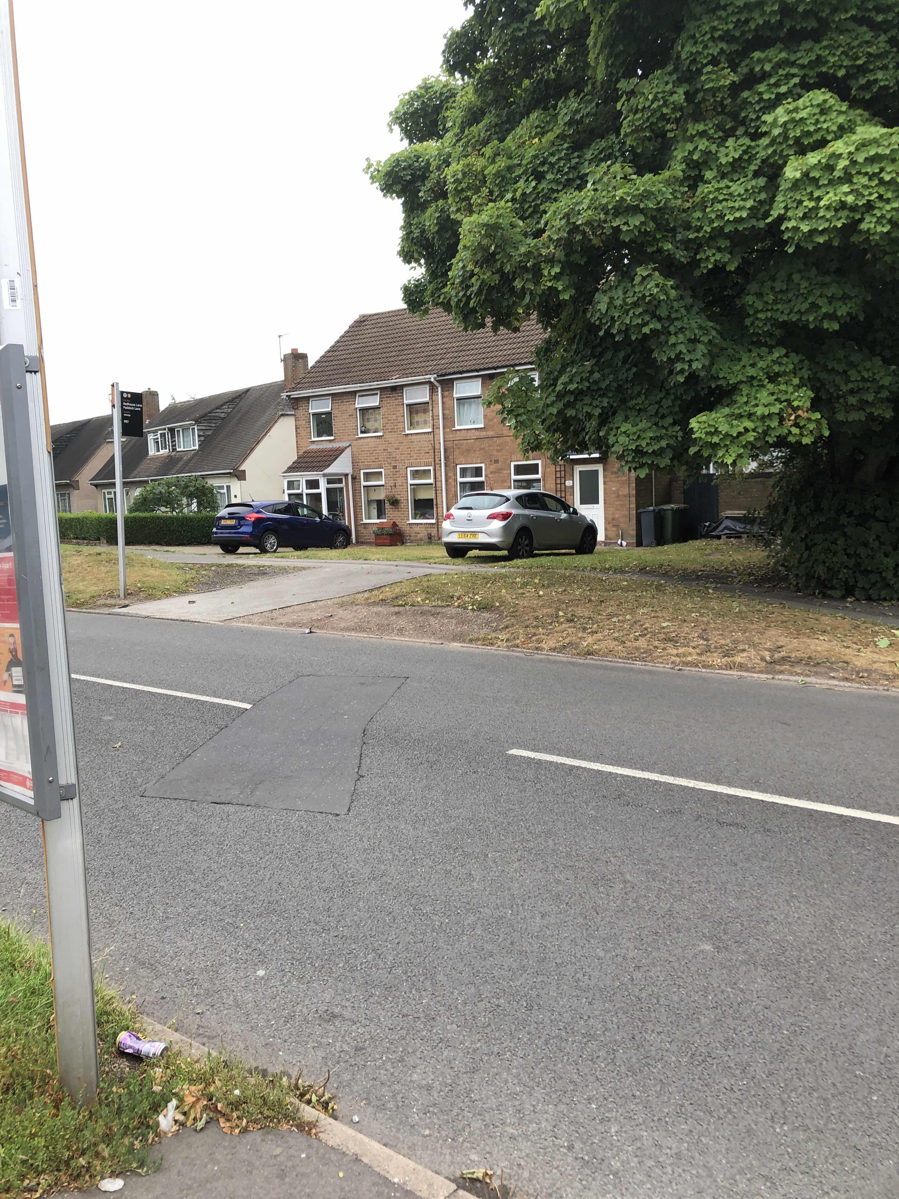 Taken by Anonymous
See Paddock Lane stop, Aldridge Central And South, on the map
Public transport to Paddock Lane stop (ID: nwmjatga) in Aldridge Central And South
Looking for directions to Paddock Lane in Aldridge Central And South, United Kingdom?
Download the Moovit App to find the current schedule and step-by-step directions for Bus routes that pass through Paddock Lane.
Looking for the nearest stops closest to Paddock Lane ? Check out this list of closest stops to your destination: Paddock Lane; Parkhouse Grove; Walsall Road.
Bus: 6, 937, 997, 7S, 7.
We make riding on public transit to Paddock Lane easy, which is why over 1.7 billion users, including users in Aldridge Central And South trust Moovit as the best app for public transit.
Use the app to navigate to popular places including to the airport, hospital, stadium, grocery store, mall, coffee shop, school, college, and university.
Paddock Lane stop’s code is nwmjatga
The first line to this stop is 997, at 05:06, and the last line is 997 at 23:48.
This stop serves National Express West Midlands’s lines
- Paddock Lane,
- Parkhouse Grove,
- Walsall Road
Bus stops near Paddock Lane stop
- Coventry Arena,
- Edenhurst Road,
- Saltwells Road,
- Dunkley Street,
- Drews Lane,
- Old Repertory Theatre,
- Dobbies Garden Centre,
- Court Oak Road,
- The Mount,
- Birmingham International Station,
- Mary Stevens Park,
- Langley Green,
- Edge Hill Road,
- St James' Church,
- Washwood Heath Academy,
- Cannon Hill Park,
- Middlemore Road,
- Birmingham Coach Station,
- Crematorium,
- Leabrook Road
Popular public transport stations in Aldridge Central And South
Get around Aldridge Central And South by public transport!
Travelling around Aldridge Central And South has never been so easy. See step by step directions as you travel to any attraction, street or major public transport station. View bus and train timetables, arrival times, service alerts and detailed routes on a map, so you know exactly how to get to anywhere in Aldridge Central And South.
When travelling to any destination around Aldridge Central And South use Moovit's Live Directions with Get Off Notifications to know exactly where and how far to walk, how long to wait for your line , and how many stops are left. Moovit will alert you when it’s time to get off — no need to constantly re-check whether yours is the next stop.
Wondering how to use public transport in Aldridge Central And South or how to pay for public transport in Aldridge Central And South? Moovit public transport app can help you navigate your way with public transport easily, and at minimum cost. It includes public transport fees, ticket prices, and costs. Looking for a map of Aldridge Central And South public transport lines? Moovit public transport app shows all public transport maps in Aldridge Central And South with all Bus, Train and Light rail routes and stops on an interactive map.
West Midlands has 3 transport type(s), including: Bus, Train and Light rail, operated by several transport agencies, including National Express West Midlands, National Express Coventry, National Express, Diamond Bus, Arriva Midlands, Stagecoach Midlands, West Midlands Metro, Stagecoach West, Stagecoach South Wales, First Potteries, First Worcestershire, LandFlight, trentbarton, D & G Bus and Flexibus