Providence Square stop - Saturday schedule
| Line | Direction | Time |
|---|---|---|
| 24 | Bellringer Road | 05:16 |
| 18 | Hanley (City Cent) | 06:50 |
| 18 | Hanley (City Cent) | 06:50 |
| 9 | Nuffield Hospital | 07:32 |
| 8A | Hanley Bus Station | 07:36 |
| 7 | Hanley (City Cent) | 07:40 |
| 7 | Hanley (City Cent) | 07:40 |
| 18 | Hanley (City Cent) | 07:52 |
| 18 | Hanley (City Cent) | 07:52 |
| 9A | Hanley Bus Station | 08:05 |
| 7A | Hanley (City Cent) | 08:09 |
| 9 | Nuffield Hospital | 08:32 |
| 7 | Hanley Bus Station | 08:34 |
| 8A | Hanley Bus Station | 08:36 |
| 7 | Hanley (City Cent) | 08:39 |
| 7 | Hanley (City Cent) | 08:39 |
| 9A | Hanley Bus Station | 08:50 |
| 18 | Hanley (City Cent) | 08:51 |
| 18 | Hanley (City Cent) | 08:51 |
| 9 | Berkshire Grove | 09:02 |
| 7A | Hanley Bus Station | 09:04 |
| 9A | Hanley Bus Station | 09:20 |
| 7A | Hanley (City Cent) | 09:21 |
| 9 | Nuffield Hospital | 09:32 |
| 7 | Hanley Bus Station | 09:34 |
Directions to Providence Square stop (Birches Head And Central Forest Park) with public transport
The following transport lines have routes that pass near Providence Square
 Bus: 38, 7A, 9, 9A, 2.
How to get to Providence Square stop by bus?
Click on the bus route to see step by step directions with maps, line arrival times and updated time schedules.
Bus stops near Providence Square stop in Birches Head And Central Forest Park
- Providence Square, 1 min walk,
- Plough Street, 2 min walk,
- Stoke-On-Trent, 42 min walk,
Bus lines to Providence Square stop in Birches Head And Central Forest Park
- 2, Hanley Bus Station,
- 2, Hanley (City Cent),
- 43, Milton, X-Roads,
- 43, Hanley Bus Station,
- 7, Etruria And Hanley - Great Chell And Packmoor,
- 7, Kidsgrove & Ravenscliffe - Etruria And Hanley,
- 7A, Biddulph West - Etruria And Hanley,
- 7A, Great Chell And Packmoor - Etruria And Hanley,
- 8, Baddeley, Milton And Norton - Etruria And Hanley,
- 8A, Brown Edge And Endon - Etruria And Hanley,
- 9, Town - Great Chell And Packmoor,
- 9, Biddulph West - Westbury Park & Northwood,
- 9A, Tunstall - Etruria And Hanley,
- 18, Leek East - Etruria And Hanley,
- 18, Etruria And Hanley - Leek East,
- 24, Etruria And Hanley - Blurton West And Newstead,
- 62, Baddeley, Milton And Norton - Etruria And Hanley,
- 218, Brown Edge And Endon - Town,
- AVANTI WEST COAST, London Euston,
- CROSSCOUNTRY, Eastleigh,
What are the nearest stations to Providence Square?
The nearest stations to Providence Square are:
- Providence Square is 55 meters away, 1 min walk.
- Plough Street is 132 meters away, 2 min walk.
- Stoke-On-Trent is 3199 meters away, 42 min walk.
Which bus lines stop near Providence Square?
These bus lines stop near Providence Square: 38, 7A, 9, 9A.
What’s the nearest bus station to Providence Square in Birches Head And Central Forest Park?
The nearest bus station to Providence Square in Birches Head And Central Forest Park is Providence Square. It’s a 1 min walk away.
What time is the first train to Providence Square in Birches Head And Central Forest Park?
The WEST MIDLANDS RAILWAY is the first train that goes to Providence Square in Birches Head And Central Forest Park. It stops nearby at 06:00.
What time is the last train to Providence Square in Birches Head And Central Forest Park?
The AVANTI WEST COAST is the last train that goes to Providence Square in Birches Head And Central Forest Park. It stops nearby at 23:56.
What time is the first bus to Providence Square in Birches Head And Central Forest Park?
The 24 is the first bus that goes to Providence Square in Birches Head And Central Forest Park. It stops nearby at 05:14.
What time is the last bus to Providence Square in Birches Head And Central Forest Park?
The 9 is the last bus that goes to Providence Square in Birches Head And Central Forest Park. It stops nearby at 23:17.
Providence Square station
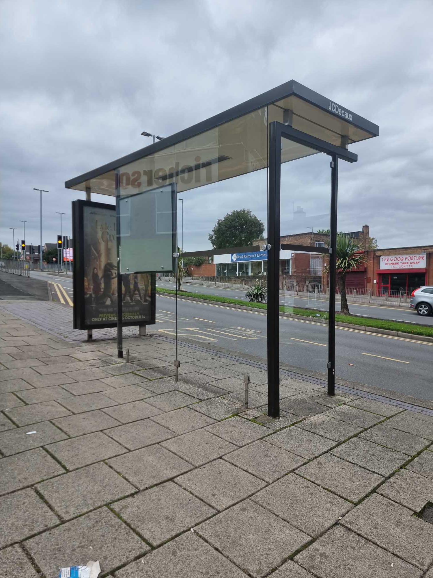 Taken by craescu e.
See Providence Square stop, Birches Head And Central Forest Park, on the map
Public transport to Providence Square stop (ID: stoamatj) in Birches Head And Central Forest Park
Looking for directions to Providence Square in Birches Head And Central Forest Park, United Kingdom?
Download the Moovit App to find the current schedule and step-by-step directions for Bus routes that pass through Providence Square.
Looking for the nearest stops closest to Providence Square ? Check out this list of closest stops to your destination: Providence Square; Plough Street; Stoke-On-Trent.
Bus: 38, 7A, 9, 9A, 2, 2, 43, 43, 7, 7, 8, AVANTI WEST COAST, CROSSCOUNTRY, EAST MIDLANDS RAILWAY, NORTHERN, NORTHERN.
We make riding on public transit to Providence Square easy, which is why over 1.5 million users, including users in Birches Head And Central Forest Park trust Moovit as the best app for public transit.
Use the app to navigate to popular places including to the airport, hospital, stadium, grocery store, mall, coffee shop, school, college, and university.
Providence Square stop’s code is stoamatj
The first line to this stop is 24, at 05:16, and the last line is 9 at 22:47.
Hulton Street, Stoke-On-Trent, England, United Kingdom
This stop serves D & G Bus, First Potteries and Stanton of Stoke’s lines
- Providence Square,
- Plough Street,
- Stoke-On-Trent
Bus stops near Providence Square stop
- Quadrant,
- James Watt College,
- St Andrew's Stadium,
- Stechford Police Station,
- Swan Shopping Centre,
- West Heath Hospital,
- Smiths Wood Academy,
- Watling Street,
- Ocado,
- Coleshill Parkway,
- Bromsgrove St,
- Poplar Rd,
- Abbey Stadium,
- Feldon Lane,
- Witton Lodge Rd,
- Sandwell District General Hospital,
- Moorland Road,
- Moreton-In-Marsh,
- Washwood Heath Academy,
- Dudley Rd
Popular public transport stations in Birches Head And Central Forest Park
Get around Birches Head And Central Forest Park by public transport!
Travelling around Birches Head And Central Forest Park has never been so easy. See step by step directions as you travel to any attraction, street or major public transport station. View bus and train timetables, arrival times, service alerts and detailed routes on a map, so you know exactly how to get to anywhere in Birches Head And Central Forest Park.
When travelling to any destination around Birches Head And Central Forest Park use Moovit's Live Directions with Get Off Notifications to know exactly where and how far to walk, how long to wait for your line , and how many stops are left. Moovit will alert you when it’s time to get off — no need to constantly re-check whether yours is the next stop.
Wondering how to use public transport in Birches Head And Central Forest Park or how to pay for public transport in Birches Head And Central Forest Park? Moovit public transport app can help you navigate your way with public transport easily, and at minimum cost. It includes public transport fees, ticket prices, and costs. Looking for a map of Birches Head And Central Forest Park public transport lines? Moovit public transport app shows all public transport maps in Birches Head And Central Forest Park with all Bus, Train and Light rail routes and stops on an interactive map.
West Midlands has 3 transport type(s), including: Bus, Train and Light rail, operated by several transport agencies, including National Express West Midlands, National Express Coventry, National Express, Diamond Bus, Arriva Midlands, Stagecoach Midlands, West Midlands Metro, Stagecoach West, Stagecoach South Wales, First Potteries, First Worcestershire, LandFlight, trentbarton, D & G Bus and Flexibus