Quarry Lane stop - Wednesday schedule
| Line | Direction | Time |
|---|---|---|
| 63 | Moor St Queensway | 04:18 |
| 63 | Moor St Queensway | 04:56 |
| 63 | Moor St Queensway | 05:26 |
| 63 | Moor St Queensway | 05:50 |
| 63 | Moor St Queensway | 06:08 |
| 63 | Moor St Queensway | 06:23 |
| X20 | The Square Peg | 06:24 |
| 63 | Moor St Queensway | 06:32 |
| 63 | Moor St Queensway | 06:42 |
| X20 | The Square Peg | 06:49 |
| 63 | Moor St Queensway | 06:53 |
| 63 | Moor St Queensway | 07:04 |
| 63 | Moor St Queensway | 07:12 |
| X20 | The Square Peg | 07:14 |
| 63 | Moor St Queensway | 07:24 |
| 63 | Moor St Queensway | 07:33 |
| X20 | The Square Peg | 07:42 |
| 63 | Moor St Queensway | 07:43 |
| 19 | Maypole Shops | 07:53 |
| 63 | Moor St Queensway | 07:55 |
| 63 | Moor St Queensway | 08:06 |
| X20 | The Square Peg | 08:07 |
| 63 | Moor St Queensway | 08:18 |
| 19 | Maypole Shops | 08:23 |
| 63 | Moor St Queensway | 08:30 |
Directions to Quarry Lane stop (Allens Cross) with public transport
The following transport lines have routes that pass near Quarry Lane
 Bus: 18, 61, 63, 39S, 19.
- Train: WEST MIDLANDS RAILWAY.
How to get to Quarry Lane stop by bus?
Click on the bus route to see step by step directions with maps, line arrival times and updated time schedules.
How to get to Quarry Lane stop by train?
Click on the train route to see step by step directions with maps, line arrival times and updated time schedules.
Bus stops near Quarry Lane stop in Allens Cross
- Northfield Leisure Centre, 3 min walk,
- South Road, 4 min walk,
- The Black Horse, 4 min walk,
Train stations near Quarry Lane station in Allens Cross
- Selly Oak, 22 min walk,
Bus lines to Quarry Lane stop in Allens Cross
- 39S, Longbridge Station,
- 19, Supermarket,
- X20, University Station,
- 39, Longbridge Station,
- 39A, Plough Avenue,
- 63, Moor St Queensway,
- 18, Yardley Wood Depot,
- 27, Northfield, Bell Lane,
- 55, Tesco,
- 61, Moor St Queensway,
- 48, West Bromwich Bus Station,
What are the nearest stations to Quarry Lane?
The nearest stations to Quarry Lane are:
- Northfield Leisure Centre stop is 174 meters away, 3 min walk.
- South Road stop is 247 meters away, 4 min walk.
- The Black Horse stop is 299 meters away, 4 min walk.
- Selly Oak station is 1741 meters away, 22 min walk.
Which bus lines stop near Quarry Lane?
These bus lines stop near Quarry Lane: 18, 61, 63.
Which train line stops near Quarry Lane?
WEST MIDLANDS RAILWAY (Bromsgrove)
What’s the nearest train station to Quarry Lane in Allens Cross?
The nearest train station to Quarry Lane in Allens Cross is Selly Oak. It’s a 22 min walk away.
What’s the nearest bus station to Quarry Lane in Allens Cross?
The nearest bus station to Quarry Lane in Allens Cross is Northfield Leisure Centre. It’s a 3 min walk away.
What time is the first train to Quarry Lane in Allens Cross?
The WEST MIDLANDS RAILWAY is the first train that goes to Quarry Lane in Allens Cross. It stops nearby at 09:13.
What time is the last train to Quarry Lane in Allens Cross?
The WEST MIDLANDS RAILWAY is the last train that goes to Quarry Lane in Allens Cross. It stops nearby at 23:35.
What time is the first bus to Quarry Lane in Allens Cross?
The 63 is the first bus that goes to Quarry Lane in Allens Cross. It stops nearby at 03:27.
What time is the last bus to Quarry Lane in Allens Cross?
The 63 is the last bus that goes to Quarry Lane in Allens Cross. It stops nearby at 02:42.
Quarry Lane station
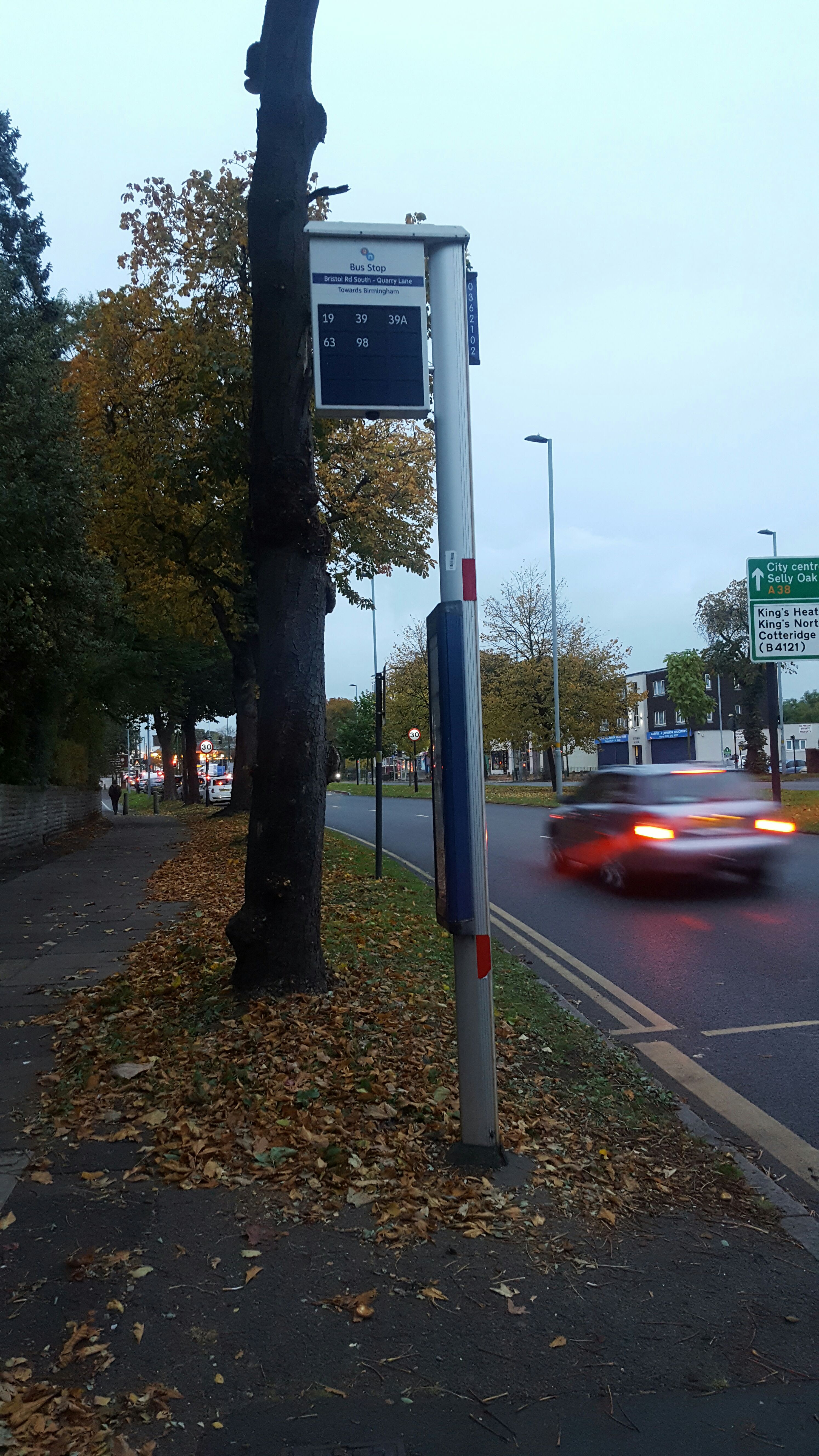 Taken by Kylie O.
See Quarry Lane stop, Allens Cross, on the map
Public transport to Quarry Lane stop (ID: nwmawama) in Allens Cross
Looking for directions to Quarry Lane in Allens Cross, United Kingdom?
Download the Moovit App to find the current schedule and step-by-step directions for Bus or Train routes that pass through Quarry Lane.
Looking for the nearest stops closest to Quarry Lane ? Check out this list of closest stops to your destination: Northfield Leisure Centre; South Road; The Black Horse; Selly Oak.
Bus: 18, 61, 63, 39S, 19, X20, 39, 39A, 27, 55, 48.Train: WEST MIDLANDS RAILWAY.
We make riding on public transit to Quarry Lane easy, which is why over 1.7 billion users, including users in Allens Cross trust Moovit as the best app for public transit.
Use the app to navigate to popular places including to the airport, hospital, stadium, grocery store, mall, coffee shop, school, college, and university.
Quarry Lane stop’s code is nwmawama
The first line to this stop is 63, at 04:18, and the last line is 63 at 02:42.
1007 Bristol Road South, Birmingham, England, United Kingdom
This stop serves Kevs Cars and Coaches and National Express West Midlands’s lines
- Northfield Leisure Centre,
- South Road,
- The Black Horse
Bus stops near Quarry Lane stop
- Selly Oak
Train station near Quarry Lane station
- Molineux Stadium,
- Poplar Road,
- Elston Hall Lane,
- New Rowley Road,
- Burley Gate A465 Roundabout,
- Tournament Fields Business Park,
- Redditch Bus Station,
- Teddesley Park,
- St James Church,
- Industrial Estate,
- Three Elms Road,
- Tyseley,
- Oriel Villas,
- Stechford,
- Alexandra Road,
- Ashmore Lake Way,
- Clopton Crescent,
- Bournville Lane,
- Milehouse Primary Care Centre,
- Longport
Popular public transport stations in Allens Cross
Get around Allens Cross by public transport!
Travelling around Allens Cross has never been so easy. See step by step directions as you travel to any attraction, street or major public transport station. View bus and train timetables, arrival times, service alerts and detailed routes on a map, so you know exactly how to get to anywhere in Allens Cross.
When travelling to any destination around Allens Cross use Moovit's Live Directions with Get Off Notifications to know exactly where and how far to walk, how long to wait for your line , and how many stops are left. Moovit will alert you when it’s time to get off — no need to constantly re-check whether yours is the next stop.
Wondering how to use public transport in Allens Cross or how to pay for public transport in Allens Cross? Moovit public transport app can help you navigate your way with public transport easily, and at minimum cost. It includes public transport fees, ticket prices, and costs. Looking for a map of Allens Cross public transport lines? Moovit public transport app shows all public transport maps in Allens Cross with all Bus, Train and Light rail routes and stops on an interactive map.
West Midlands has 3 transport type(s), including: Bus, Train and Light rail, operated by several transport agencies, including National Express West Midlands, National Express Coventry, National Express, Diamond Bus, Arriva Midlands, Stagecoach Midlands, West Midlands Metro, Stagecoach West, Stagecoach South Wales, First Potteries, First Worcestershire, LandFlight, trentbarton, D & G Bus and Flexibus