Ralph Road stop - Wednesday schedule
| Line | Direction | Time |
|---|---|---|
| 14 | Chelmsley Interchange | 04:26 |
| 14 | Chelmsley Interchange | 04:56 |
| 14 | Chelmsley Interchange | 05:16 |
| 14 | Chelmsley Interchange | 05:36 |
| 14 | Chelmsley Interchange | 05:52 |
| 14 | Chelmsley Interchange | 06:07 |
| 14 | Chelmsley Interchange | 06:22 |
| 14 | Chelmsley Interchange | 06:37 |
| 14 | Chelmsley Interchange | 06:50 |
| 14 | Chelmsley Interchange | 07:02 |
| 14 | Chelmsley Interchange | 07:14 |
| 14 | Chelmsley Interchange | 07:21 |
| 14 | Chelmsley Interchange | 07:28 |
| 14 | Chelmsley Interchange | 07:35 |
| 14 | Chelmsley Interchange | 07:42 |
| 14 | Chelmsley Interchange | 07:49 |
| 14 | Chelmsley Interchange | 07:57 |
| 14 | Chelmsley Interchange | 08:04 |
| 14 | Chelmsley Interchange | 08:12 |
| 14 | Chelmsley Interchange | 08:19 |
| 14 | Chelmsley Interchange | 08:26 |
| 14 | Chelmsley Interchange | 08:33 |
| 14 | Chelmsley Interchange | 08:40 |
| 14 | Chelmsley Interchange | 08:46 |
| 14 | Chelmsley Interchange | 08:53 |
Directions to Ralph Road stop (Alum Rock) with public transport
The following transport lines have routes that pass near Ralph Road
 Bus: 14, 8C, 95, 8A.
- Train: WEST MIDLANDS RAILWAY, CHILTERN RAILWAYS.
How to get to Ralph Road stop by bus?
Click on the bus route to see step by step directions with maps, line arrival times and updated time schedules.
How to get to Ralph Road stop by train?
Click on the train route to see step by step directions with maps, line arrival times and updated time schedules.
Bus stops near Ralph Road stop in Alum Rock
- Ralph Road, 2 min walk,
- Adderley Gardens, 5 min walk,
Light Rail stations near Ralph Road station in Alum Rock
- Albert Street (West Midlands Metro), 5 min walk,
Train stations near Ralph Road station in Alum Rock
- Bordesley, 22 min walk,
- Birmingham Moor Street, 39 min walk,
Bus lines to Ralph Road stop in Alum Rock
- 14, Chelmsley Interchange,
- 8C, Saltley Gate,
- 95, Dale End,
- 8A, Saltley Gate,
What are the nearest stations to Ralph Road?
The nearest stations to Ralph Road are:
- Ralph Road stop is 127 meters away, 2 min walk.
- Albert Street (West Midlands Metro) station is 321 meters away, 5 min walk.
- Adderley Gardens stop is 332 meters away, 5 min walk.
- Bordesley station is 1699 meters away, 22 min walk.
- Birmingham Moor Street station is 3079 meters away, 39 min walk.
Which bus line stops near Ralph Road?
14 (Chelmsley Interchange)
Which train line stops near Ralph Road?
WEST MIDLANDS RAILWAY (Birmingham International)
What’s the nearest light rail station to Ralph Road in Alum Rock?
The nearest light rail station to Ralph Road in Alum Rock is Albert Street (West Midlands Metro). It’s a 5 min walk away.
What’s the nearest train station to Ralph Road in Alum Rock?
The nearest train station to Ralph Road in Alum Rock is Bordesley. It’s a 22 min walk away.
What’s the nearest bus station to Ralph Road in Alum Rock?
The nearest bus station to Ralph Road in Alum Rock is Ralph Road. It’s a 2 min walk away.
What time is the first light rail to Ralph Road in Alum Rock?
The METRO is the first light rail that goes to Ralph Road in Alum Rock. It stops nearby at 07:39.
What time is the last light rail to Ralph Road in Alum Rock?
The METRO is the last light rail that goes to Ralph Road in Alum Rock. It stops nearby at 23:28.
What time is the first train to Ralph Road in Alum Rock?
The CHILTERN RAILWAYS is the first train that goes to Ralph Road in Alum Rock. It stops nearby at 08:28.
What time is the last train to Ralph Road in Alum Rock?
The CHILTERN RAILWAYS is the last train that goes to Ralph Road in Alum Rock. It stops nearby at 00:03.
What time is the first bus to Ralph Road in Alum Rock?
The 8C is the first bus that goes to Ralph Road in Alum Rock. It stops nearby at 06:30.
What time is the last bus to Ralph Road in Alum Rock?
The 8A is the last bus that goes to Ralph Road in Alum Rock. It stops nearby at 00:39.
Ralph Road station
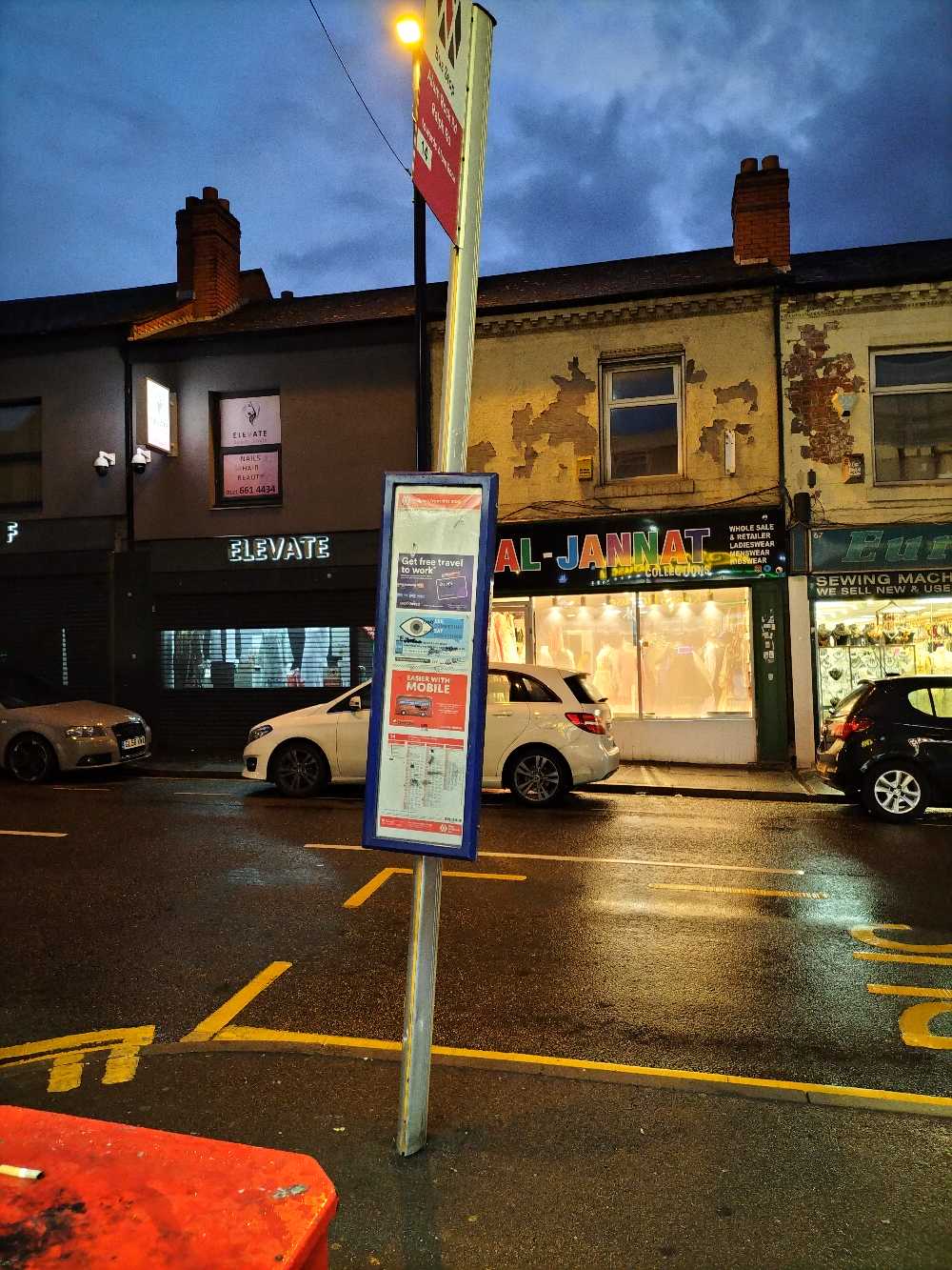 Taken by Anonymous
See Ralph Road stop, Alum Rock, on the map
Public transport to Ralph Road stop (ID: nwmamgpt) in Alum Rock
Looking for directions to Ralph Road in Alum Rock, United Kingdom?
Download the Moovit App to find the current schedule and step-by-step directions for Bus, Train or Light rail routes that pass through Ralph Road.
Looking for the nearest stops closest to Ralph Road ? Check out this list of closest stops to your destination: Ralph Road; Albert Street (West Midlands Metro); Adderley Gardens; Bordesley; Birmingham Moor Street.
Bus: 14, 8C, 95, 8A.Train: WEST MIDLANDS RAILWAY, CHILTERN RAILWAYS.
We make riding on public transit to Ralph Road easy, which is why over 1.7 billion users, including users in Alum Rock trust Moovit as the best app for public transit.
Use the app to navigate to popular places including to the airport, hospital, stadium, grocery store, mall, coffee shop, school, college, and university.
Ralph Road stop’s code is nwmamgpt
The first line to this stop is 14, at 04:26, and the last line is 14 at 00:15.
This stop serves National Express West Midlands’s lines
- Ralph Road,
- Adderley Gardens
Bus stops near Ralph Road stop
- Albert Street (West Midlands Metro)
Light Rail station near Ralph Road station
- Bordesley,
- Birmingham Moor Street
Train stations near Ralph Road station
- Wellhead Lane,
- Chase Road,
- Steelpark Road,
- Cheslyn Hay Academy,
- Campbell Road,
- Hampton-In-Arden,
- Kings High School,
- Adams Grammar School,
- Hagley Road West,
- Merton Hotel,
- Smethwick Rolfe Street,
- Tame Bridge Parkway,
- Solihull Town Centre,
- Federation Road,
- Wakes Ground,
- Walstead Road,
- Tessall Lane,
- Astor Drive,
- South & City College,
- Club View
Popular public transport stations in Alum Rock
Get around Alum Rock by public transport!
Travelling around Alum Rock has never been so easy. See step by step directions as you travel to any attraction, street or major public transport station. View bus and train timetables, arrival times, service alerts and detailed routes on a map, so you know exactly how to get to anywhere in Alum Rock.
When travelling to any destination around Alum Rock use Moovit's Live Directions with Get Off Notifications to know exactly where and how far to walk, how long to wait for your line , and how many stops are left. Moovit will alert you when it’s time to get off — no need to constantly re-check whether yours is the next stop.
Wondering how to use public transport in Alum Rock or how to pay for public transport in Alum Rock? Moovit public transport app can help you navigate your way with public transport easily, and at minimum cost. It includes public transport fees, ticket prices, and costs. Looking for a map of Alum Rock public transport lines? Moovit public transport app shows all public transport maps in Alum Rock with all Bus, Train and Light rail routes and stops on an interactive map.
West Midlands has 3 transport type(s), including: Bus, Train and Light rail, operated by several transport agencies, including National Express West Midlands, National Express Coventry, National Express, Diamond Bus, Arriva Midlands, Stagecoach Midlands, West Midlands Metro, Stagecoach West, Stagecoach South Wales, First Potteries, First Worcestershire, LandFlight, trentbarton, D & G Bus and Flexibus