How to get to Ranton Abbey by bus?
Click on the bus route to see step by step directions with maps, line arrival times and updated time schedules.
Bus stops near Ranton Abbey in Gnosall
- Audmore Road, Gnosall, 48 min walk,VIEW
Bus lines to Ranton Abbey in Gnosall
What are the nearest stations to Ranton Abbey?
The nearest stations to Ranton Abbey are:
- Audmore Road, Gnosall is 3731 meters away, 48 min walk.
Which bus lines stop near Ranton Abbey?
These bus lines stop near Ranton Abbey: 14, 5.
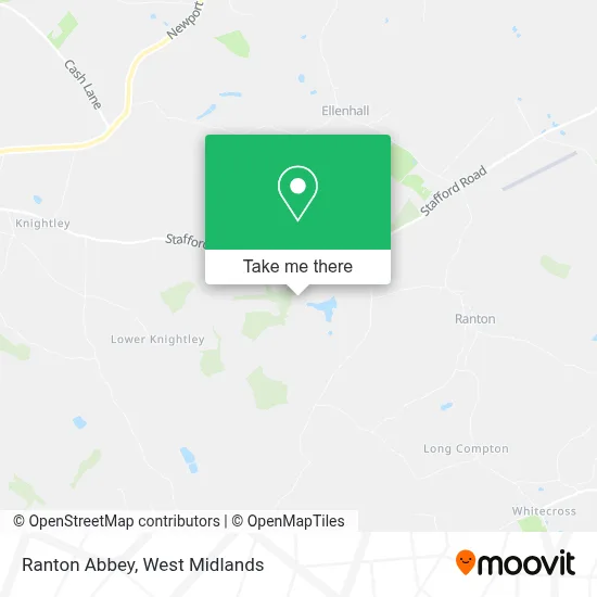
See Ranton Abbey, Gnosall, on the map
Public Transit to Ranton Abbey in Gnosall
Wondering how to get to Ranton Abbey in Gnosall? Moovit helps you find the best way to get to Ranton Abbey with step-by-step directions from the nearest public transit station.
Moovit provides free maps and live directions to help you navigate through your city. View schedules, routes, timetables, and find out how long does it take to get to Ranton Abbey in real time.
Looking for the nearest stop or station to Ranton Abbey? Check out this list of stops closest to your destination: Audmore Road.
Bus: 14, 5, 5A, 877, 12S.
Want to see if there’s another route that gets you there at an earlier time? Moovit helps you find alternative routes or times. Get directions from and directions to Ranton Abbey easily from the Moovit App or Website.
We make riding to Ranton Abbey easy, which is why over 1.5 million users, including users in Gnosall, trust Moovit as the best app for public transit. You don’t need to download an individual bus app or train app, Moovit is your all-in-one transit app that helps you find the best bus time or train time available.
For information on prices of bus and train, costs and ride fares to Ranton Abbey, please check the Moovit app.
Use the app to navigate to popular places including to the airport, hospital, stadium, grocery store, mall, coffee shop, school, college, and university.
Ranton Abbey Address: Unnamed Road, Stafford, Staffordshire ST20 0JQ, UK street in Gnosall

- Ranton,
- Ashwood Equestrian,
- The Artspace Lifespace College,
- Knightley,
- E-Compliance Development,
- Narrow Boats of Staffordshire,
- Abode Automation,
- Cleanmore,
- Chroma Coatings,
- Nawbw Limited,
- Burgess Agricultural Engineers,
- Pit Stop Cafe,
- Doug Williams Consulting,
- Acer Garden Landscapes,
- Country Land & Business Association,
- Joanne Vogel Counselling,
- Macmclaren Driving Services,
- Kitchen Visions,
- M & R Williams Farm Services,
- Stafford Removals
Places Near Ranton Abbey (Gnosall)
- Studley Castle, Studley,
- Waseley Hills Crematorium, Frankley Great Park,
- Lilleshall Hall National Sports Centre, Telford,
- Royal Orthopaedic Hospital, Northfield,
- Fort Shopping Centre, Birmingham, Pype Hayes,
- Bickerstaff Endoscopy Unit (PRH), Apley Castle,
- IKEA Wednesbury, Oldbury,
- Boundary Mill Stores, Bentley And Darlaston North,
- Tally Ho Police Training, Birmingham, Edgbaston,
- Heritage Building (Queen Elizabeth Hospital), Edgbaston,
- Hagley Road, Edgbaston,
- The Merry Hill Centre, Brierley Hill,
- Wolstanton Retail Park, Wolstanton,
- Stratford Road, Sparkhill,
- Travelodge Birmingham Airport Hotel Birmingham, Bickenhill,
- Birmingham Dental Hospital, Edgbaston,
- One Stop Shopping Centre, Perry Barr,
- Birmingham And Midland Eye Centre, Soho & Jewellery Quarter,
- Bournville Staff Shop (Cadbury World), Bournville & Cotteridge,
- Crown Wharf Retail Park, St. Matthew's
How to get to popular places in West Midlands with public transport
Get around Gnosall by public transport!
Travelling around Gnosall has never been so easy. See step by step directions as you travel to any attraction, street or major public transport station. View bus and train timetables, arrival times, service alerts and detailed routes on a map, so you know exactly how to get to anywhere in Gnosall.
When travelling to any destination around Gnosall use Moovit's Live Directions with Get Off Notifications to know exactly where and how far to walk, how long to wait for your line , and how many stops are left. Moovit will alert you when it’s time to get off — no need to constantly re-check whether yours is the next stop.
Wondering how to use public transport in Gnosall or how to pay for public transport in Gnosall? Moovit public transport app can help you navigate your way with public transport easily, and at minimum cost. It includes public transport fees, ticket prices, and costs. Looking for a map of Gnosall public transport lines? Moovit public transport app shows all public transport maps in Gnosall with all Bus, Train and Light rail routes and stops on an interactive map.
West Midlands has 3 transport type(s), including: Bus, Train and Light rail, operated by several transport agencies, including National Express West Midlands, National Express Coventry, National Express, Diamond Bus, Arriva Midlands, Stagecoach Midlands, West Midlands Metro, Stagecoach West, Stagecoach South Wales, First Potteries, First Worcestershire, LandFlight, trentbarton, D & G Bus and Flexibus