Reevy Avenue stop - Friday schedule
| Line | Direction | Time |
|---|---|---|
| 645 | Buttershaw | 06:14 |
| 645 | Buttershaw | 06:55 |
| 645 | Buttershaw | 07:25 |
| 645 | Buttershaw | 07:44 |
| 645 | Buttershaw | 08:04 |
| 645 | Buttershaw | 08:20 |
| 645 | Buttershaw | 08:38 |
| 645 | Buttershaw | 08:56 |
| 645 | Buttershaw | 09:16 |
| 645 | Buttershaw | 09:35 |
| 645 | Buttershaw | 09:52 |
| 645 | Buttershaw | 10:10 |
| 645 | Buttershaw | 10:26 |
| 645 | Buttershaw | 10:42 |
| 645 | Buttershaw | 10:58 |
| 645 | Buttershaw | 11:15 |
| 645 | Buttershaw | 11:33 |
| 645 | Buttershaw | 11:49 |
| 645 | Buttershaw | 12:07 |
| 645 | Buttershaw | 12:24 |
| 645 | Buttershaw | 12:41 |
| 645 | Buttershaw | 12:57 |
| 645 | Buttershaw | 13:13 |
| 645 | Buttershaw | 13:32 |
| 645 | Buttershaw | 13:48 |
Directions to Reevy Avenue stop (Bradford) with public transport
The following transport lines have routes that pass near Reevy Avenue
 Bus: 508, 640, 645, 644, 643.
- Train: GRAND CENTRAL, NORTHERN, NORTHERN, LONDON NORTH EASTERN RAILWAY.
How to get to Reevy Avenue stop by bus?
Click on the bus route to see step by step directions with maps, line arrival times and updated time schedules.
Bus stops near Reevy Avenue stop in Bradford
- Reevy Avenue, 1 min walk,
- Saxton Ave Gracey Lane, 5 min walk,
Train stations near Reevy Avenue station in Bradford
- Bradford Interchange, 23 min walk,
- Bradford Forster Square, 63 min walk,
Bus lines to Reevy Avenue stop in Bradford
- 645, Buttershaw,
- 643, Bradford Interchange (Stand A),
- 644, Bradford Interchange (Stand A),
What are the nearest stations to Reevy Avenue?
The nearest stations to Reevy Avenue are:
- Reevy Avenue stop is 70 meters away, 1 min walk.
- Saxton Ave Gracey Lane stop is 355 meters away, 5 min walk.
- Bradford Interchange station is 1782 meters away, 23 min walk.
- Bradford Forster Square station is 4958 meters away, 63 min walk.
Which bus lines stop near Reevy Avenue?
These bus lines stop near Reevy Avenue: 508, 640, 645.
What’s the nearest train station to Reevy Avenue in Bradford?
The nearest train station to Reevy Avenue in Bradford is Bradford Interchange. It’s a 23 min walk away.
What’s the nearest bus station to Reevy Avenue in Bradford?
The nearest bus station to Reevy Avenue in Bradford is Reevy Avenue. It’s a 1 min walk away.
What time is the first train to Reevy Avenue in Bradford?
The GRAND CENTRAL is the first train that goes to Reevy Avenue in Bradford. It stops nearby at 08:00.
What time is the last train to Reevy Avenue in Bradford?
The NORTHERN is the last train that goes to Reevy Avenue in Bradford. It stops nearby at 23:54.
What time is the first bus to Reevy Avenue in Bradford?
The 645 is the first bus that goes to Reevy Avenue in Bradford. It stops nearby at 07:54.
What time is the last bus to Reevy Avenue in Bradford?
The 645 is the last bus that goes to Reevy Avenue in Bradford. It stops nearby at 23:30.
Reevy Avenue station
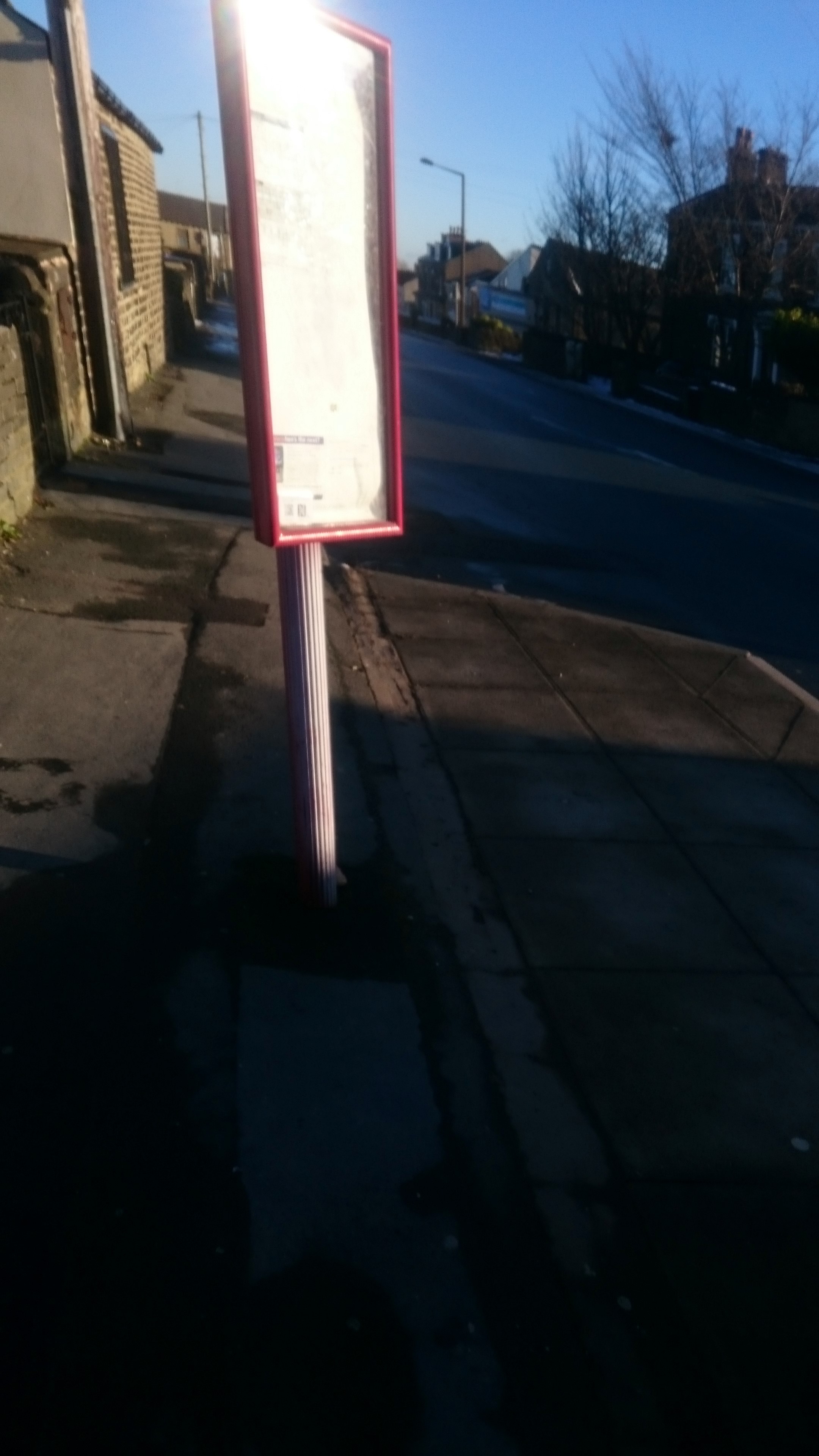 Taken by Anonymous
See Reevy Avenue stop, Bradford, on the map
Public transport to Reevy Avenue stop (ID: 45022521) in Bradford
Looking for directions to Reevy Avenue in Bradford, United Kingdom?
Download the Moovit App to find the current schedule and step-by-step directions for Bus or Train routes that pass through Reevy Avenue.
Looking for the nearest stops closest to Reevy Avenue ? Check out this list of closest stops to your destination: Reevy Avenue; Saxton Ave Gracey Lane; Bradford Interchange; Bradford Forster Square.
Bus: 508, 640, 645, 644, 643.Train: GRAND CENTRAL, NORTHERN, NORTHERN, LONDON NORTH EASTERN RAILWAY.
We make riding on public transit to Reevy Avenue easy, which is why over 1.7 billion users, including users in Bradford trust Moovit as the best app for public transit.
Use the app to navigate to popular places including to the airport, hospital, stadium, grocery store, mall, coffee shop, school, college, and university.
Reevy Avenue stop’s code is 45022521
The first line to this stop is 645, at 06:14, and the last line is 645 at 23:05.
This stop serves First Bradford’s lines
- Reevy Avenue,
- Saxton Ave Gracey Lane
Bus stops near Reevy Avenue stop
- Bradford Interchange,
- Bradford Forster Square
Train stations near Reevy Avenue station
- Ring Road Shadwell Wetherby Road,
- Harold Grove,
- Victoria Q,
- East Ella Drive,
- Cemetery,
- Queen Elizabeth Barracks,
- Crossley Street,
- Tesco Store,
- Skelton Lane/Skelton Drive,
- Shepcote Lane/Tinsley Park Road,
- Siemens Factory,
- Snydale Hall,
- Harrogate,
- Anlaby Tranby Lane,
- Royal Infirmary,
- Harborough Hill Road/Twibell Street,
- Kentmere Avenue,
- Wood Walk/Dovecliffe Road,
- City Road/St Aidans Road,
- Primley Park Avenue
Popular public transport stations in Bradford
Get around Bradford by public transport!
Travelling around Bradford has never been so easy. See step by step directions as you travel to any attraction, street or major public transport station. View bus and train timetables, arrival times, service alerts and detailed routes on a map, so you know exactly how to get to anywhere in Bradford.
When travelling to any destination around Bradford use Moovit's Live Directions with Get Off Notifications to know exactly where and how far to walk, how long to wait for your line , and how many stops are left. Moovit will alert you when it’s time to get off — no need to constantly re-check whether yours is the next stop.
Wondering how to use public transport in Bradford or how to pay for public transport in Bradford? Moovit public transport app can help you navigate your way with public transport easily, and at minimum cost. It includes public transport fees, ticket prices, and costs. Looking for a map of Bradford public transport lines? Moovit public transport app shows all public transport maps in Bradford with all Bus, Train and Light rail routes and stops on an interactive map.
Yorkshire has 3 transport type(s), including: Bus, Train and Light rail, operated by several transport agencies, including First Leeds, First South Yorkshire, First York, Arriva Yorkshire, Stagecoach Yorkshire, National Rail, First Bradford, First Halifax, Calder Valley & Huddersfield, East Yorkshire, The Keighley Bus Company, South Yorkshire Future Tram, The Harrogate Bus Company, TM Travel, Coastliner and Stevenson's Travel