Ridge Road stop - Friday schedule
| Line | Direction | Time |
|---|---|---|
| 39 | Victoria D | 05:49 |
| 38 | Victoria D | 06:22 |
| 39 | Victoria D | 06:40 |
| 38 | Victoria D | 07:08 |
| 39 | Victoria D | 07:18 |
| 38 | Victoria D | 07:39 |
| 39 | Victoria D | 07:48 |
| 38 | Victoria D | 08:09 |
| 39 | Victoria D | 08:21 |
| 38 | Victoria D | 08:47 |
| 39 | Victoria D | 08:53 |
| 38 | Victoria D | 09:18 |
| 39 | Victoria D | 09:21 |
| 38 | Victoria D | 09:46 |
| 39 | Victoria D | 09:56 |
| 38 | Victoria D | 10:18 |
| 39 | Victoria D | 10:22 |
| 38 | Victoria D | 10:46 |
| 39 | Victoria D | 10:52 |
| 38 | Victoria D | 11:17 |
| 39 | Victoria D | 11:25 |
| 38 | Victoria D | 11:47 |
| 39 | Victoria D | 11:56 |
| 38 | Victoria D | 12:18 |
| 39 | Victoria D | 12:27 |
Directions to Ridge Road stop (Leeds) with public transport
The following transport lines have routes that pass near Ridge Road
 Bus: 3, 38, 39, 7S, 7.
- Train: NORTHERN, CROSSCOUNTRY, LONDON NORTH EASTERN RAILWAY, TRANSPENNINE EXPRESS.
How to get to Ridge Road stop by bus?
Click on the bus route to see step by step directions with maps, line arrival times and updated time schedules.
How to get to Ridge Road stop by train?
Click on the train route to see step by step directions with maps, line arrival times and updated time schedules.
Bus stops near Ridge Road stop in Leeds
- Ridge Road, 2 min walk,
- Buslingthorpe Lane, 8 min walk,
Train stations near Ridge Road station in Leeds
- Leeds, 2 min walk,
Bus lines to Ridge Road stop in Leeds
- 38, Victoria D,
- 39, Moor Allerton,
- 7, Leeds,
- 7A, Leeds - Alwoodley,
- 7S, Shadwell - Leeds,
What are the nearest stations to Ridge Road?
The nearest stations to Ridge Road are:
- Ridge Road stop is 97 meters away, 2 min walk.
- Leeds station is 143 meters away, 2 min walk.
- Buslingthorpe Lane stop is 606 meters away, 8 min walk.
Which bus lines stop near Ridge Road?
These bus lines stop near Ridge Road: 3, 38, 39, 7S.
Which train line stops near Ridge Road?
NORTHERN (Leeds)
What’s the nearest train station to Ridge Road in Leeds?
The nearest train station to Ridge Road in Leeds is Leeds. It’s a 2 min walk away.
What’s the nearest bus station to Ridge Road in Leeds?
The nearest bus station to Ridge Road in Leeds is Ridge Road. It’s a 2 min walk away.
What time is the first train to Ridge Road in Leeds?
The NORTHERN is the first train that goes to Ridge Road in Leeds. It stops nearby at 07:58.
What time is the last train to Ridge Road in Leeds?
The TRANSPENNINE EXPRESS is the last train that goes to Ridge Road in Leeds. It stops nearby at 04:25.
What time is the first bus to Ridge Road in Leeds?
The 7 is the first bus that goes to Ridge Road in Leeds. It stops nearby at 07:20.
What time is the last bus to Ridge Road in Leeds?
The TRANSPENNINE EXPRESS is the last bus that goes to Ridge Road in Leeds. It stops nearby at 01:43.
Ridge Road station
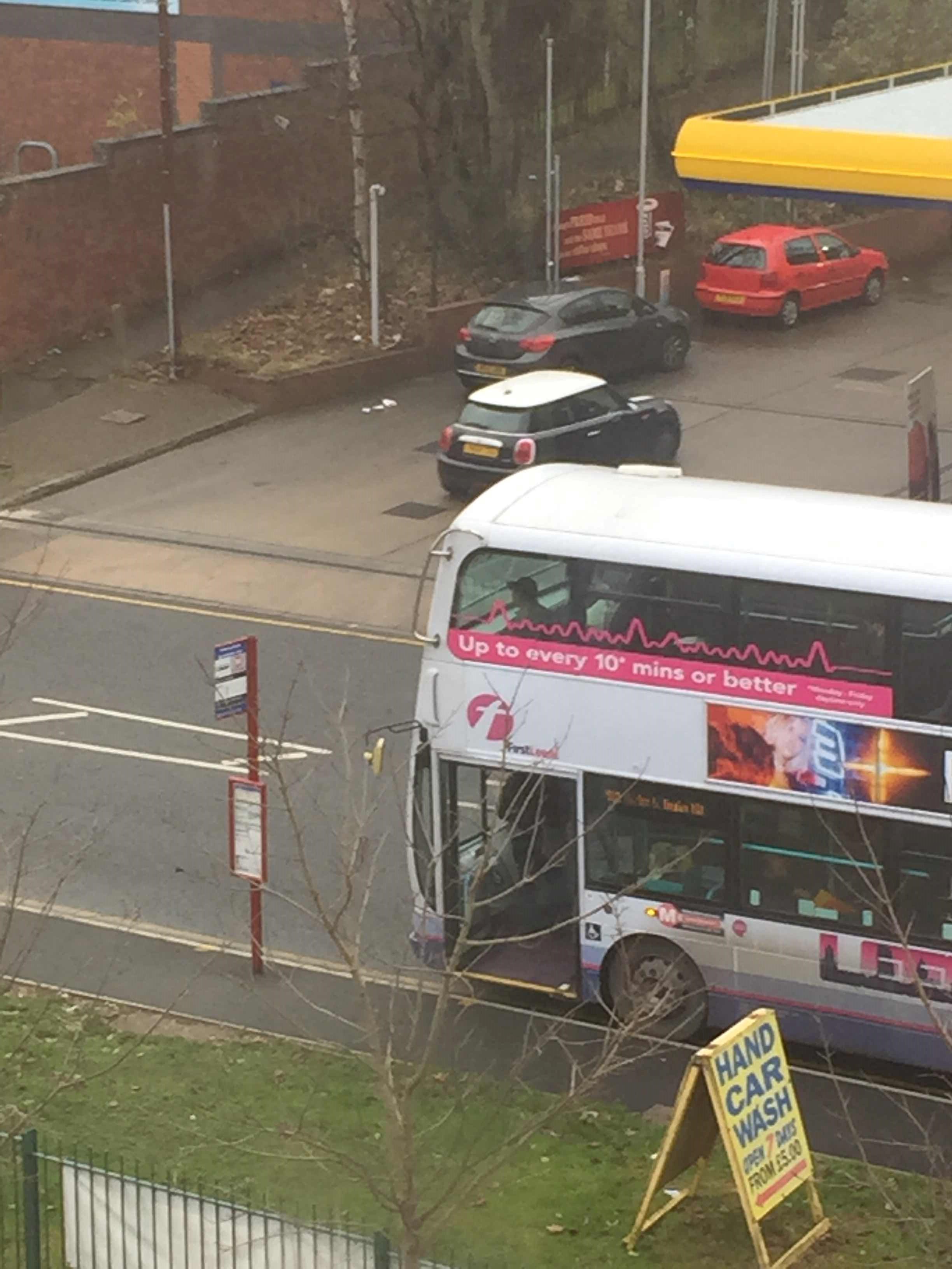 Taken by David O.
See Ridge Road stop, Leeds, on the map
Public transport to Ridge Road stop (ID: 45011110) in Leeds
Looking for directions to Ridge Road in Leeds, United Kingdom?
Download the Moovit App to find the current schedule and step-by-step directions for Bus or Train routes that pass through Ridge Road.
Looking for the nearest stops closest to Ridge Road ? Check out this list of closest stops to your destination: Ridge Road; Leeds; Buslingthorpe Lane.
Bus: 3, 38, 39, 7S, 7, 7A.Train: NORTHERN, CROSSCOUNTRY, LONDON NORTH EASTERN RAILWAY, TRANSPENNINE EXPRESS.
We make riding on public transit to Ridge Road easy, which is why over 1.7 billion users, including users in Leeds trust Moovit as the best app for public transit.
Use the app to navigate to popular places including to the airport, hospital, stadium, grocery store, mall, coffee shop, school, college, and university.
Ridge Road stop’s code is 45011110
The first line to this stop is 39, at 05:49, and the last line is 39 at 23:36.
280 Meanwood Road, Leeds, England, United Kingdom
This stop serves First Leeds’s lines
- Ridge Road,
- Buslingthorpe Lane
Bus stops near Ridge Road stop
- Leeds
Train station near Ridge Road station
- Peasholm Park,
- Royal Infirmary,
- Woodfield Way/Plantation Road,
- Maltravers Road/Maltravers Way,
- Secondary School,
- Walkley Road/Walkley Bank Road,
- Clare Hill,
- Laund Road Top,
- Monks Cross Park And Ride,
- Thorpe Park,
- Stannington Road/Wood Lane,
- Furnival Street/Arundel Lane,
- Manvers Way/Meadows Road,
- Sheepscar Junction,
- Dunswell Beverley Road,
- Charter Row/Moorhead Mh4,
- Valley Bridge Stop W,
- Great North Road/Bawtry Forest,
- Mayo Avenue Morrisons,
- Penistone Road/Rutland Road
Popular public transport stations in Leeds
Get around Leeds by public transport!
Travelling around Leeds has never been so easy. See step by step directions as you travel to any attraction, street or major public transport station. View bus and train timetables, arrival times, service alerts and detailed routes on a map, so you know exactly how to get to anywhere in Leeds.
When travelling to any destination around Leeds use Moovit's Live Directions with Get Off Notifications to know exactly where and how far to walk, how long to wait for your line , and how many stops are left. Moovit will alert you when it’s time to get off — no need to constantly re-check whether yours is the next stop.
Wondering how to use public transport in Leeds or how to pay for public transport in Leeds? Moovit public transport app can help you navigate your way with public transport easily, and at minimum cost. It includes public transport fees, ticket prices, and costs. Looking for a map of Leeds public transport lines? Moovit public transport app shows all public transport maps in Leeds with all Bus, Train and Light rail routes and stops on an interactive map.
Yorkshire has 3 transport type(s), including: Bus, Train and Light rail, operated by several transport agencies, including First Leeds, First South Yorkshire, First York, Arriva Yorkshire, Stagecoach Yorkshire, National Rail, First Bradford, First Halifax, Calder Valley & Huddersfield, East Yorkshire, The Keighley Bus Company, South Yorkshire Future Tram, The Harrogate Bus Company, TM Travel, Coastliner and Stevenson's Travel