Ridgefield stop - Sunday schedule
| Line | Direction | Time |
|---|---|---|
| V1 | Leigh Bus Station | 03:44 |
| V1 | Leigh Bus Station | 04:44 |
| V1 | Leigh Bus Station | 05:44 |
| 50 | Mediacityuk | 06:37 |
| V1 | Leigh Bus Station | 06:44 |
| 50 | Mediacityuk | 07:07 |
| 50 | Mediacityuk | 07:39 |
| V1 | Leigh Bus Station | 07:43 |
| 50 | Mediacityuk | 08:09 |
| V1 | Leigh Bus Station | 08:13 |
| V1 | Leigh Bus Station | 08:38 |
| 50 | Mediacityuk | 08:39 |
| 50 | Mediacityuk | 08:59 |
| V2 | Market Street | 09:09 |
| 50 | Mediacityuk | 09:19 |
| 50 | Mediacityuk | 09:35 |
| V1 | Leigh Bus Station | 09:39 |
| 50 | Mediacityuk | 09:50 |
| V2 | Market Street | 09:56 |
| 50 | Mediacityuk | 10:05 |
| V1 | Leigh Bus Station | 10:11 |
| 50 | Mediacityuk | 10:22 |
| V2 | Market Street | 10:26 |
| 50 | Mediacityuk | 10:37 |
| V1 | Leigh Bus Station | 10:41 |
Directions to Ridgefield stop (Manchester) with public transport
The following transport lines have routes that pass near Ridgefield
 Bus: 216, 35, 36, 42B, 50.
- Train: NORTHERN, TRANSPENNINE EXPRESS.
- Light rail: PINK LINE, REPLACEMENT BUS, YELLOW LINE.
How to get to Ridgefield stop by bus?
Click on the bus route to see step by step directions with maps, line arrival times and updated time schedules.
How to get to Ridgefield stop by train?
Click on the train route to see step by step directions with maps, line arrival times and updated time schedules.
How to get to Ridgefield stop by light rail?
Click on the light rail route to see step by step directions with maps, line arrival times and updated time schedules.
Bus stops near Ridgefield stop in Manchester
- St James Square, 1 min walk,
- Ridgefield, 1 min walk,
- Cheapside, 3 min walk,
- Manchester Town Hall, 3 min walk,
- St Peter's Square, 5 min walk,
- Barton Arcade, 5 min walk,
- St Mary's Gate, 7 min walk,
Light Rail stations near Ridgefield station in Manchester
- St Peter's Square (Manchester Metrolink), 5 min walk,
- Exchange Square (Manchester Metrolink), 9 min walk,
Bus lines to Ridgefield stop in Manchester
- 1, Manchester,
- V1, Leigh - Manchester,
- V2, Atherton - Manchester,
- V4, Manchester - Boothstown,
- 36, Manchester - Bolton,
- 37, Manchester - Bolton,
- 38, Little Hulton - Manchester,
- X39, Farnworth - Manchester,
- 50, Manchester - Salford,
- 113, Middleton - Manchester,
- 35, Piccadilly Gardens,
- 2, Manchester Piccadilly Rail Station,
- 114, Boarshaw Lane,
- 51, Mediacityuk,
- 8, Bolton - Manchester,
- 67, Manchester - Cadishead,
- 67A, Cadishead - Manchester,
- 100, Manchester - Trafford Park,
- 10, Salford City Academy,
What are the nearest stations to Ridgefield?
The nearest stations to Ridgefield are:
- St James Square stop is 37 meters away, 1 min walk.
- Ridgefield stop is 65 meters away, 1 min walk.
- Cheapside stop is 173 meters away, 3 min walk.
- Manchester Town Hall stop is 174 meters away, 3 min walk.
- St Peter's Square stop is 338 meters away, 5 min walk.
- Barton Arcade stop is 369 meters away, 5 min walk.
- St Peter's Square (Manchester Metrolink) station is 397 meters away, 5 min walk.
- St Mary's Gate stop is 518 meters away, 7 min walk.
- Exchange Square (Manchester Metrolink) station is 638 meters away, 9 min walk.
Which bus lines stop near Ridgefield?
These bus lines stop near Ridgefield: 216, 35, 36, 42B, 50, 98.
Which train lines stop near Ridgefield?
These train lines stop near Ridgefield: NORTHERN, TRANSPENNINE EXPRESS.
Which light rail lines stop near Ridgefield?
These light rail lines stop near Ridgefield: PINK LINE, REPLACEMENT BUS, YELLOW LINE.
What’s the nearest light rail station to Ridgefield in Manchester?
The nearest light rail station to Ridgefield in Manchester is St Peter's Square (Manchester Metrolink). It’s a 5 min walk away.
What’s the nearest bus station to Ridgefield in Manchester?
The nearest bus stations to Ridgefield in Manchester are St James Square and Ridgefield. The closest one is a 1 min walk away.
What time is the first light rail to Ridgefield in Manchester?
The REPLACEMENT BUS is the first light rail that goes to Ridgefield in Manchester. It stops nearby at 06:05.
What time is the last light rail to Ridgefield in Manchester?
The REPLACEMENT BUS is the last light rail that goes to Ridgefield in Manchester. It stops nearby at 01:04.
What time is the first bus to Ridgefield in Manchester?
The V1 is the first bus that goes to Ridgefield in Manchester. It stops nearby at 03:38.
What time is the last bus to Ridgefield in Manchester?
The 36 is the last bus that goes to Ridgefield in Manchester. It stops nearby at 03:48.
Ridgefield station
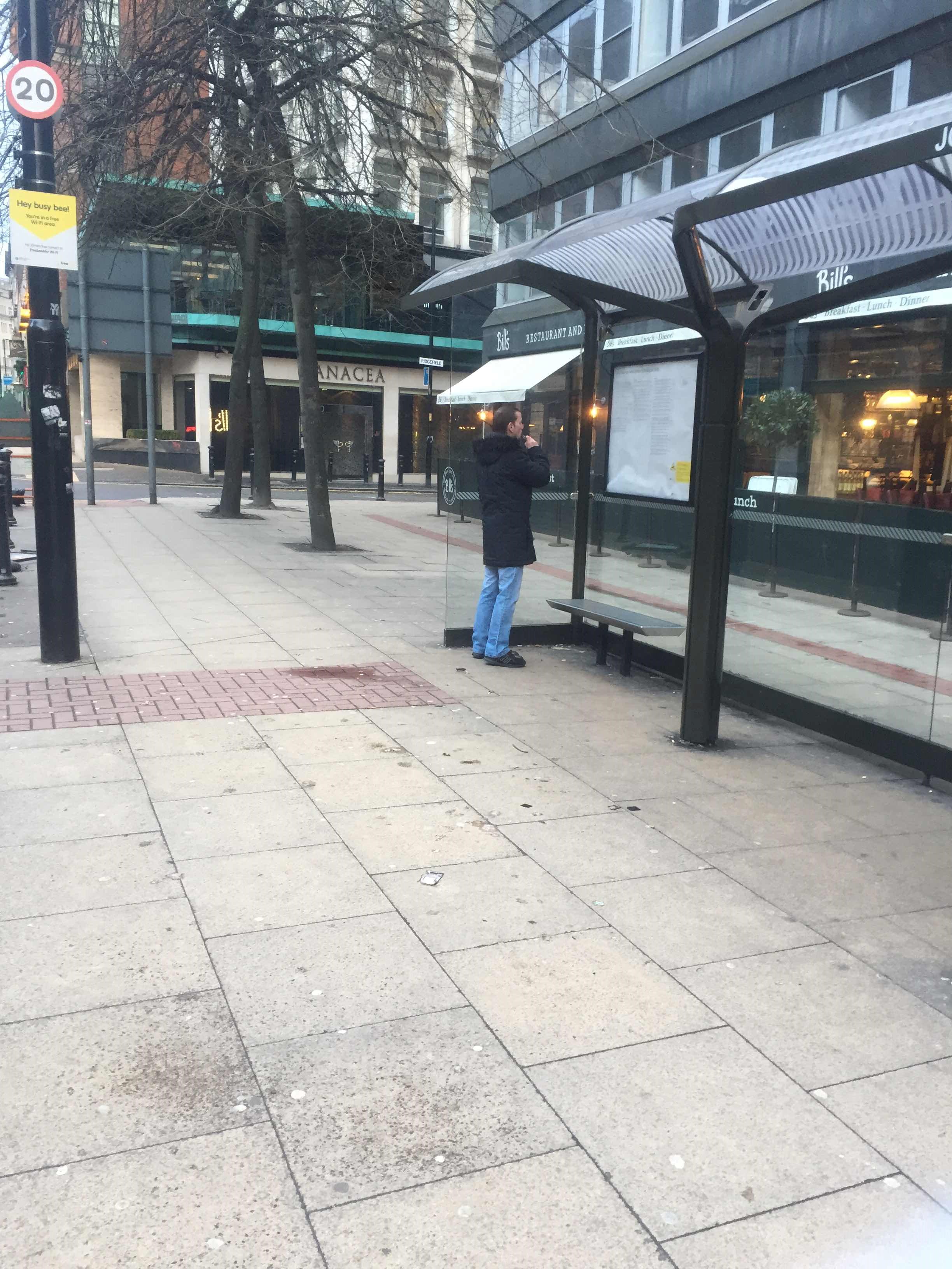 Taken by Roberto C.
See Ridgefield stop, Manchester, on the map
Public transport to Ridgefield stop (ID: MANDJMWT) in Manchester
Looking for directions to Ridgefield in Manchester, United Kingdom?
Download the Moovit App to find the current schedule and step-by-step directions for Bus, Light rail or Train routes that pass through Ridgefield.
Looking for the nearest stops closest to Ridgefield ? Check out this list of closest stops to your destination: St James Square; Ridgefield; Cheapside; Manchester Town Hall; St Peter's Square; Barton Arcade; St Peter's Square (Manchester Metrolink); St Mary's Gate; Exchange Square (Manchester Metrolink).
Bus: 216, 35, 36, 42B, 50, 98, 1, V1, V2, V4, 2, 114, 51, 8, 67, 67A, 100.Train: NORTHERN, TRANSPENNINE EXPRESS.Light rail: PINK LINE, REPLACEMENT BUS, YELLOW LINE.
We make riding on public transit to Ridgefield easy, which is why over 1.7 billion users, including users in Manchester trust Moovit as the best app for public transit.
Use the app to navigate to popular places including to the airport, hospital, stadium, grocery store, mall, coffee shop, school, college, and university.
Ridgefield stop’s code is MANDJMWT
The first line to this stop is V1, at 03:44, and the last line is V1 at 02:44.
Ridgefield, Manchester, England, United Kingdom
This stop serves Bee Network and Bee Network’s lines
- St James Square,
- Ridgefield,
- Cheapside,
- Manchester Town Hall,
- St Peter's Square,
- Barton Arcade,
- St Mary's Gate
Bus stops near Ridgefield stop
- St Peter's Square (Manchester Metrolink),
- Exchange Square (Manchester Metrolink)
Light Rail stations near Ridgefield station
- Upton Close,
- Manor Green Primary Academy,
- Taylor's Lane,
- Ellesmere Port,
- St Helens Retail Park,
- Grafton Street,
- Tesco Salford,
- Grimshaw Street,
- Salford Crescent,
- Stockport Grammar School,
- Etihad Campus,
- Tesco,
- Gardner Street,
- Wrightington Hospital,
- Victoria Infirmary,
- Wallasey Village,
- Okell Drive,
- Woodside Road,
- Lea Green,
- Smethurst Hall Road
Popular public transport stations in Manchester
Get around Manchester by public transport!
Travelling around Manchester has never been so easy. See step by step directions as you travel to any attraction, street or major public transport station. View bus and train timetables, arrival times, service alerts and detailed routes on a map, so you know exactly how to get to anywhere in Manchester.
When travelling to any destination around Manchester use Moovit's Live Directions with Get Off Notifications to know exactly where and how far to walk, how long to wait for your line , and how many stops are left. Moovit will alert you when it’s time to get off — no need to constantly re-check whether yours is the next stop.
Wondering how to use public transport in Manchester or how to pay for public transport in Manchester? Moovit public transport app can help you navigate your way with public transport easily, and at minimum cost. It includes public transport fees, ticket prices, and costs. Looking for a map of Manchester public transport lines? Moovit public transport app shows all public transport maps in Manchester with all Bus, Train, Light rail and Ferry routes and stops on an interactive map.
North West has 4 transport type(s), including: Bus, Train, Light rail and Ferry, operated by several transport agencies, including Arriva North West, Stagecoach Merseyside and South Lancashire, Stagecoach Cumbria and North Lancashire, First Halifax, National Express, Warrington's Own Buses, First Potteries, Blackpool Transport, The Blackburn Bus Company, The Burnley Bus Company, Vision Bus, National Rail, Huyton Travel, Preston Bus and Metrolink