Ridgeway Road/Corker Road stop - Friday schedule
| Line | Direction | Time |
|---|---|---|
| 18 | Hillsborough Intc | 05:19 |
| 18 | Hillsborough Intc | 06:14 |
| 18 | Hillsborough Intc | 07:11 |
| 18 | Hillsborough Intc | 08:27 |
| 18 | Hillsborough Intc | 09:34 |
| 18 | Hillsborough Intc | 10:34 |
| 18 | Hillsborough Intc | 11:34 |
| 18 | Hillsborough Intc | 12:34 |
| 18 | Hillsborough Intc | 13:34 |
| 18 | Hillsborough Intc | 15:59 |
| 18 | Hillsborough Intc | 16:31 |
| 18 | Hillsborough Intc | 17:51 |
| 18A | Hillsborough Intc | 19:05 |
| 18A | Hillsborough Intc | 20:57 |
| 18A | Hillsborough Intc | 22:57 |
Directions to Ridgeway Road/Corker Road stop (Sheffield) with public transport
The following transport lines have routes that pass near Ridgeway Road/Corker Road
 Bus: 120, 18A, 51, 18, 719.
- Light rail: BLUE.
How to get to Ridgeway Road/Corker Road stop by bus?
Click on the bus route to see step by step directions with maps, line arrival times and updated time schedules.
Bus stops near Ridgeway Road/Corker Road stop in Sheffield
- Ridgeway Road/Newlands Road, 2 min walk,
- Hurlfield Road/Hurlfield Crescent, 5 min walk,
- Hurlfield Road/Elm Tree Hill, 5 min walk,
- Gleadless Common/Gleadless View, 6 min walk,
- City Road/Elm Tree, 7 min walk,
Light Rail stations near Ridgeway Road/Corker Road station in Sheffield
- Hollinsend To City, Gleadless, 8 min walk,
- Hollinsend (South Yorkshire Supertram), 8 min walk,
Bus lines to Ridgeway Road/Corker Road stop in Sheffield
- 18, Hillsborough Intc,
- 18A, Hillsborough Intc,
- 719, High Storrs Road,
- 10, Upperthorpe Upperthorpe Road/Albert Terrace Road,
- 10A, Manor Top Manor Top Interchange/Hurlfield Road E2,
- 51, Lodge Moor,
- 7, Woodhouse Cross Street/Tannery Street,
- 8, Birley,
- 8A, Dyke Vale Road,
- 50, Chesterfield,
- 50A, Chesterfield,
- 50S, Eckington, Birk Hill Estate,
- 53, Mansfield Bus Station,
- 70, Meadowhall,
- 70A, Meadowhall,
- 73, Rotherham Intc Arr,
- 95S, Rotherham Intc Arr,
- 120, Crystal Peaks,
- 120, Halfway Eckington Way/Station Road,
- 120K, Norwood, Roundabout,
What are the nearest stations to Ridgeway Road/Corker Road?
The nearest stations to Ridgeway Road/Corker Road are:
- Ridgeway Road/Newlands Road stop is 105 meters away, 2 min walk.
- Hurlfield Road/Hurlfield Crescent stop is 337 meters away, 5 min walk.
- Hurlfield Road/Elm Tree Hill stop is 378 meters away, 5 min walk.
- Gleadless Common/Gleadless View stop is 402 meters away, 6 min walk.
- City Road/Elm Tree stop is 553 meters away, 7 min walk.
- Hollinsend To City, Gleadless station is 570 meters away, 8 min walk.
- Hollinsend (South Yorkshire Supertram) station is 623 meters away, 8 min walk.
Which bus lines stop near Ridgeway Road/Corker Road?
These bus lines stop near Ridgeway Road/Corker Road: 120, 18A, 51.
Which light rail line stops near Ridgeway Road/Corker Road?
BLUE (Halfway)
What’s the nearest light rail station to Ridgeway Road/Corker Road in Sheffield?
The nearest light rail stations to Ridgeway Road/Corker Road in Sheffield are Hollinsend To City, Gleadless and Hollinsend (South Yorkshire Supertram). The closest one is a 8 min walk away.
What’s the nearest bus station to Ridgeway Road/Corker Road in Sheffield?
The nearest bus station to Ridgeway Road/Corker Road in Sheffield is Ridgeway Road/Newlands Road. It’s a 2 min walk away.
What time is the first light rail to Ridgeway Road/Corker Road in Sheffield?
The BLUE is the first light rail that goes to Ridgeway Road/Corker Road in Sheffield. It stops nearby at 07:25.
What time is the last light rail to Ridgeway Road/Corker Road in Sheffield?
The BLUE is the last light rail that goes to Ridgeway Road/Corker Road in Sheffield. It stops nearby at 00:36.
What time is the first bus to Ridgeway Road/Corker Road in Sheffield?
The 73 is the first bus that goes to Ridgeway Road/Corker Road in Sheffield. It stops nearby at 05:12.
What time is the last bus to Ridgeway Road/Corker Road in Sheffield?
The 120 is the last bus that goes to Ridgeway Road/Corker Road in Sheffield. It stops nearby at 23:43.
Ridgeway Road/Corker Road station
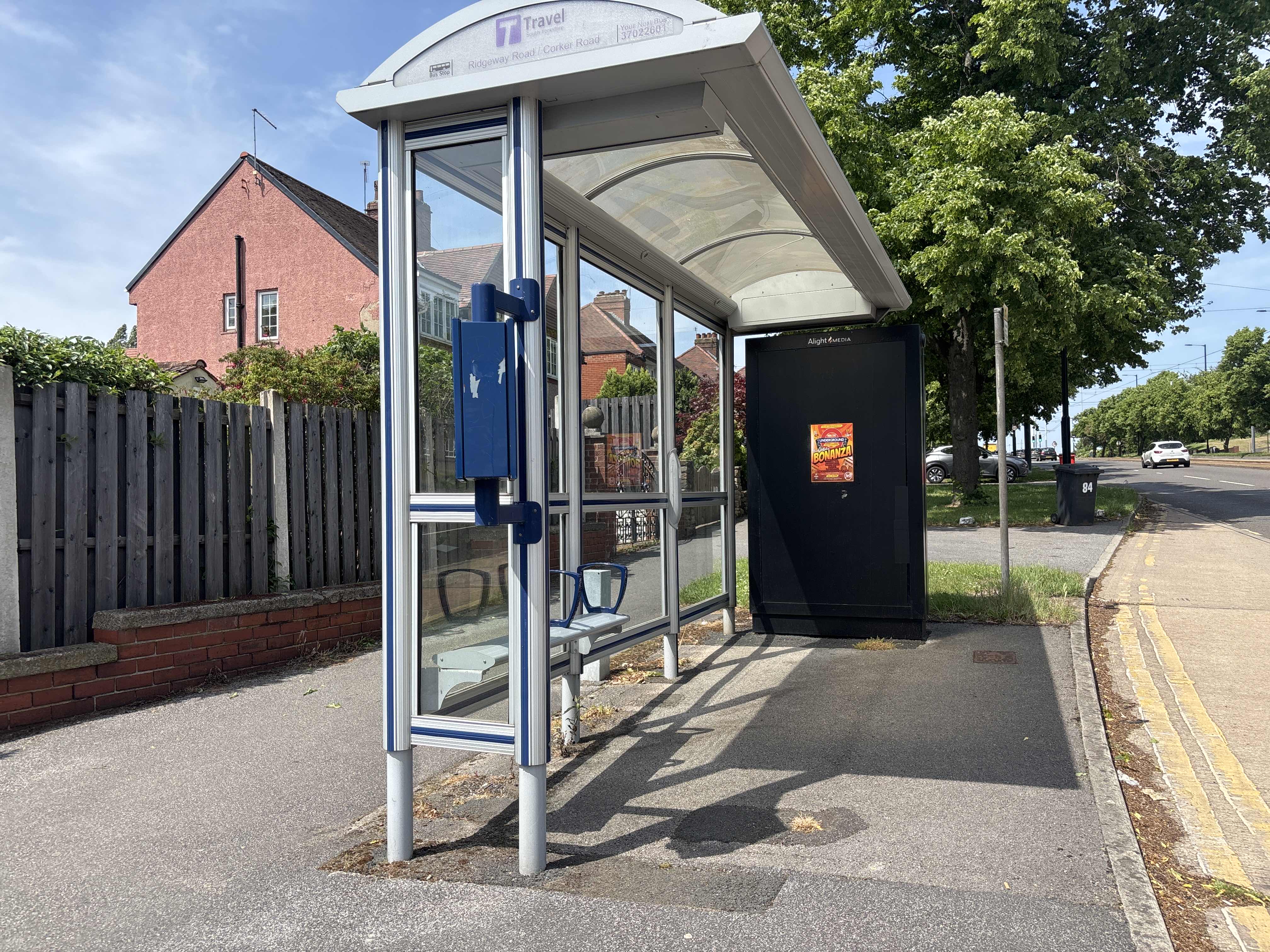 Taken by Anonymous
See Ridgeway Road/Corker Road stop, Sheffield, on the map
Public transport to Ridgeway Road/Corker Road stop (ID: 37022601) in Sheffield
Looking for directions to Ridgeway Road/Corker Road in Sheffield, United Kingdom?
Download the Moovit App to find the current schedule and step-by-step directions for Bus or Light rail routes that pass through Ridgeway Road/Corker Road.
Looking for the nearest stops closest to Ridgeway Road/Corker Road ? Check out this list of closest stops to your destination: Ridgeway Road/Newlands Road; Hurlfield Road/Hurlfield Crescent; Hurlfield Road/Elm Tree Hill; Gleadless Common/Gleadless View; City Road/Elm Tree; Hollinsend To City; Hollinsend (South Yorkshire Supertram).
Bus: 120, 18A, 51, 18, 719, 10, 10A, 7, 8, 8A, 50, 50A.Light rail: BLUE.
We make riding on public transit to Ridgeway Road/Corker Road easy, which is why over 1.7 billion users, including users in Sheffield trust Moovit as the best app for public transit.
Use the app to navigate to popular places including to the airport, hospital, stadium, grocery store, mall, coffee shop, school, college, and university.
Ridgeway Road/Corker Road stop’s code is 37022601
The first line to this stop is 18, at 05:19, and the last line is 18A at 22:57.
This stop serves First South Yorkshire’s lines
- Ridgeway Road/Newlands Road,
- Hurlfield Road/Hurlfield Crescent,
- Hurlfield Road/Elm Tree Hill,
- Gleadless Common/Gleadless View,
- City Road/Elm Tree
Bus stops near Ridgeway Road/Corker Road stop
- Hollinsend To City, Gleadless,
- Hollinsend (South Yorkshire Supertram)
Light Rail stations near Ridgeway Road/Corker Road station
- Woodlesford,
- Cultural D,
- Wombwell Lane/Wombwell Lane,
- None-Go-Bye Farm,
- Harrogate,
- Mountain Mill Lane,
- Fulwood Road/Hangingwater Road,
- Humber View,
- Crookes Road/Spooner Road,
- Willow House Caravan Park,
- Kilnhurst Road/Sandhill Road,
- Bents Road/Ecclesall Road South,
- Mytholmroyd,
- Meadowhall Drive/Meadowhall Way,
- Victoria Road,
- Harborough Hill Road/Twibell Street,
- St Mary's Hospital,
- Sewerby Church Lane,
- Hathersage,
- Bruntcliffe Academy
Popular public transport stations in Sheffield
Get around Sheffield by public transport!
Travelling around Sheffield has never been so easy. See step by step directions as you travel to any attraction, street or major public transport station. View bus and train timetables, arrival times, service alerts and detailed routes on a map, so you know exactly how to get to anywhere in Sheffield.
When travelling to any destination around Sheffield use Moovit's Live Directions with Get Off Notifications to know exactly where and how far to walk, how long to wait for your line , and how many stops are left. Moovit will alert you when it’s time to get off — no need to constantly re-check whether yours is the next stop.
Wondering how to use public transport in Sheffield or how to pay for public transport in Sheffield? Moovit public transport app can help you navigate your way with public transport easily, and at minimum cost. It includes public transport fees, ticket prices, and costs. Looking for a map of Sheffield public transport lines? Moovit public transport app shows all public transport maps in Sheffield with all Bus, Train and Light rail routes and stops on an interactive map.
Yorkshire has 3 transport type(s), including: Bus, Train and Light rail, operated by several transport agencies, including First Leeds, First South Yorkshire, First York, Arriva Yorkshire, Stagecoach Yorkshire, National Rail, First Bradford, First Halifax, Calder Valley & Huddersfield, East Yorkshire, The Keighley Bus Company, South Yorkshire Future Tram, The Harrogate Bus Company, TM Travel, Coastliner and Stevenson's Travel