Ridgeway Road/Kirkby Road stop - Friday schedule
| Line | Direction | Time |
|---|---|---|
| 51 | Lodge Moor | 05:15 |
| 18 | Hillsborough Intc | 05:17 |
| 51 | Lodge Moor | 05:45 |
| 18 | Hillsborough Intc | 06:12 |
| 51 | Lodge Moor | 06:15 |
| 51 | Lodge Moor | 06:45 |
| 18 | Hillsborough Intc | 07:09 |
| 51 | Lodge Moor | 07:10 |
| 51 | Lodge Moor | 07:30 |
| 51 | Lodge Moor | 07:52 |
| 51 | Lodge Moor | 08:09 |
| 18 | Hillsborough Intc | 08:23 |
| 51 | Lodge Moor | 08:27 |
| 51 | Lodge Moor | 08:47 |
| 51 | Lodge Moor | 09:07 |
| 51 | Lodge Moor | 09:23 |
| 18 | Hillsborough Intc | 09:32 |
| 51 | Lodge Moor | 09:40 |
| 51 | Lodge Moor | 09:55 |
| 51 | Lodge Moor | 10:10 |
| 51 | Lodge Moor | 10:25 |
| 18 | Hillsborough Intc | 10:32 |
| 51 | Lodge Moor | 10:40 |
| 51 | Lodge Moor | 11:00 |
| 51 | Lodge Moor | 11:20 |
Directions to Ridgeway Road/Kirkby Road stop (Sheffield) with public transport
The following transport lines have routes that pass near Ridgeway Road/Kirkby Road
 Bus: 120, 18A, 51, 73, 18.
- Light rail: BLUE, PURP.
How to get to Ridgeway Road/Kirkby Road stop by bus?
Click on the bus route to see step by step directions with maps, line arrival times and updated time schedules.
Bus stops near Ridgeway Road/Kirkby Road stop in Sheffield
- Ridgeway Road/Kirkby Avenue, 2 min walk,
- Gleadless Road/Ridgeway Road, 6 min walk,
- Jaunty Lane/Hollinsend Road, 8 min walk,
Light Rail stations near Ridgeway Road/Kirkby Road station in Sheffield
- Hollinsend To City, Gleadless, 4 min walk,
- Hollinsend (South Yorkshire Supertram), 4 min walk,
Bus lines to Ridgeway Road/Kirkby Road stop in Sheffield
- 18, Gleadless Townend,
- 18A, Hillsborough Intc,
- 51, Lodge Moor,
- 719, Gleadless Townend,
- 252, Gleadless,
- 8, Birley,
- 8A, Dyke Vale Road,
What are the nearest stations to Ridgeway Road/Kirkby Road?
The nearest stations to Ridgeway Road/Kirkby Road are:
- Ridgeway Road/Kirkby Avenue stop is 131 meters away, 2 min walk.
- Hollinsend To City, Gleadless station is 304 meters away, 4 min walk.
- Hollinsend (South Yorkshire Supertram) station is 304 meters away, 4 min walk.
- Gleadless Road/Ridgeway Road stop is 471 meters away, 6 min walk.
- Jaunty Lane/Hollinsend Road stop is 618 meters away, 8 min walk.
Which bus lines stop near Ridgeway Road/Kirkby Road?
These bus lines stop near Ridgeway Road/Kirkby Road: 120, 18A, 51, 73.
Which light rail lines stop near Ridgeway Road/Kirkby Road?
These light rail lines stop near Ridgeway Road/Kirkby Road: BLUE, PURP.
What’s the nearest light rail station to Ridgeway Road/Kirkby Road in Sheffield?
The nearest light rail stations to Ridgeway Road/Kirkby Road in Sheffield are Hollinsend To City, Gleadless and Hollinsend (South Yorkshire Supertram). The closest one is a 4 min walk away.
What’s the nearest bus station to Ridgeway Road/Kirkby Road in Sheffield?
The nearest bus station to Ridgeway Road/Kirkby Road in Sheffield is Ridgeway Road/Kirkby Avenue. It’s a 2 min walk away.
What time is the first light rail to Ridgeway Road/Kirkby Road in Sheffield?
The BLUE is the first light rail that goes to Ridgeway Road/Kirkby Road in Sheffield. It stops nearby at 07:27.
What time is the last light rail to Ridgeway Road/Kirkby Road in Sheffield?
The BLUE is the last light rail that goes to Ridgeway Road/Kirkby Road in Sheffield. It stops nearby at 00:34.
What time is the first bus to Ridgeway Road/Kirkby Road in Sheffield?
The 8 is the first bus that goes to Ridgeway Road/Kirkby Road in Sheffield. It stops nearby at 06:31.
What time is the last bus to Ridgeway Road/Kirkby Road in Sheffield?
The 51 is the last bus that goes to Ridgeway Road/Kirkby Road in Sheffield. It stops nearby at 23:41.
Ridgeway Road/Kirkby Road station
 Taken by Walumona M.
See Ridgeway Road/Kirkby Road stop, Sheffield, on the map
Public transport to Ridgeway Road/Kirkby Road stop (ID: 37022686) in Sheffield
Looking for directions to Ridgeway Road/Kirkby Road in Sheffield, United Kingdom?
Download the Moovit App to find the current schedule and step-by-step directions for Bus or Light rail routes that pass through Ridgeway Road/Kirkby Road.
Looking for the nearest stops closest to Ridgeway Road/Kirkby Road ? Check out this list of closest stops to your destination: Ridgeway Road/Kirkby Avenue; Hollinsend To City; Hollinsend (South Yorkshire Supertram); Gleadless Road/Ridgeway Road; Jaunty Lane/Hollinsend Road.
Bus: 120, 18A, 51, 73, 18, 719, 252, 8, 8A.Light rail: BLUE, PURP.
We make riding on public transit to Ridgeway Road/Kirkby Road easy, which is why over 1.7 billion users, including users in Sheffield trust Moovit as the best app for public transit.
Use the app to navigate to popular places including to the airport, hospital, stadium, grocery store, mall, coffee shop, school, college, and university.
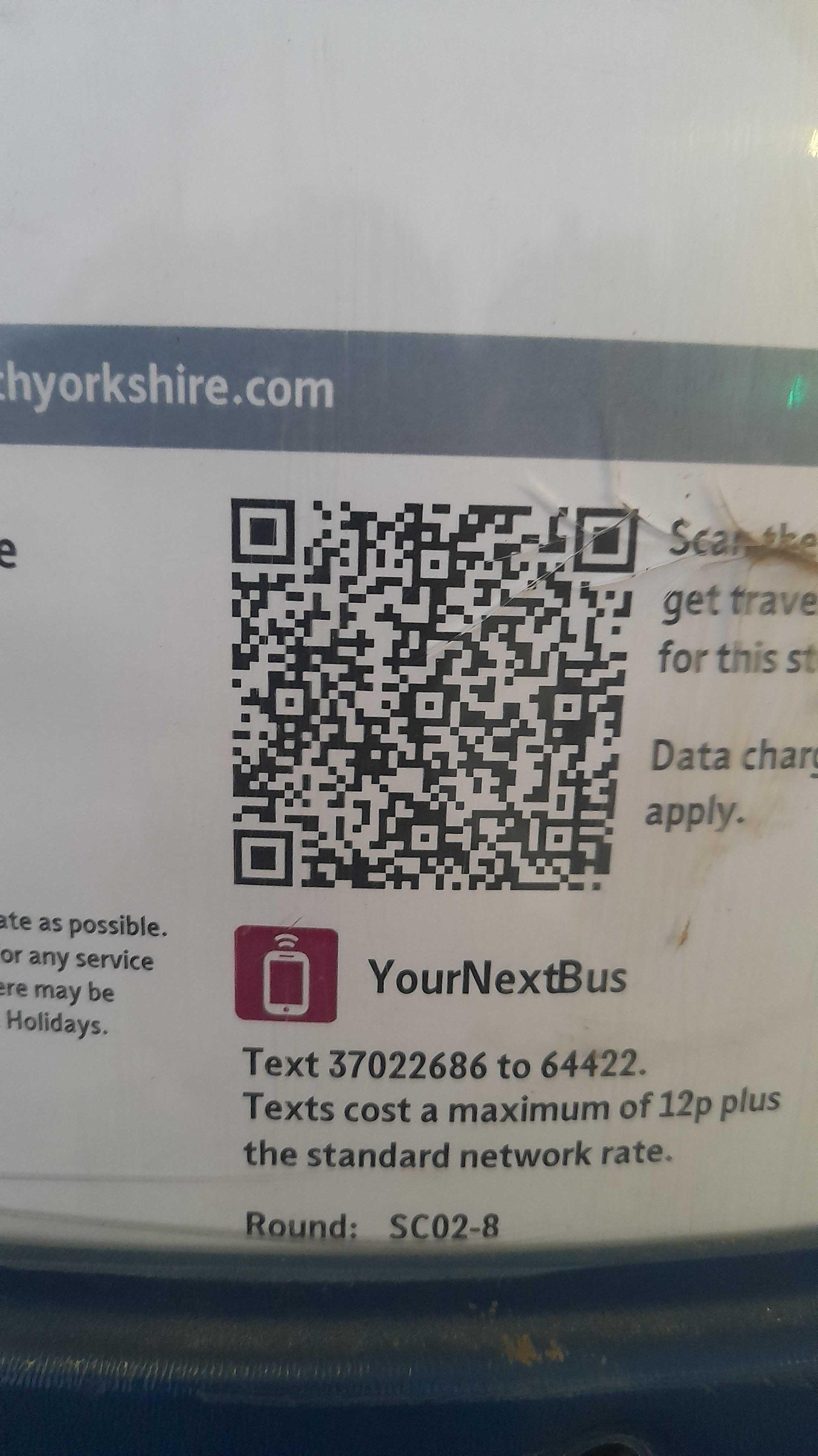
Ridgeway Road/Kirkby Road stop’s code is 37022686
The first line to this stop is 51, at 05:15, and the last line is 18A at 22:55.
This stop serves First South Yorkshire’s lines
- Ridgeway Road/Kirkby Avenue,
- Gleadless Road/Ridgeway Road,
- Jaunty Lane/Hollinsend Road
Bus stops near Ridgeway Road/Kirkby Road stop
- Hollinsend To City, Gleadless,
- Hollinsend (South Yorkshire Supertram)
Light Rail stations near Ridgeway Road/Kirkby Road station
- Beeston Co-Op,
- Church Lane,
- Jackson Avenue,
- Wombwell Lane/Wombwell Lane,
- Longley Hall Road/Longley Hall Rise,
- Huntington School,
- Danes Dyke,
- Laund Road,
- Willerby Shopping Park,
- Mytholmroyd,
- Royds School,
- Armley Town Street,
- Sandbeds Road,
- Tesco/Abbeydale Road,
- Wilmington Drive/Carolina Way,
- Waingate/Cg12,
- Wincobank Avenue/Bluebell Road,
- Fourth Avenue Shops,
- Ings Grove Park,
- Gilroyd Lane/Saville Road
Popular public transport stations in Sheffield
Get around Sheffield by public transport!
Travelling around Sheffield has never been so easy. See step by step directions as you travel to any attraction, street or major public transport station. View bus and train timetables, arrival times, service alerts and detailed routes on a map, so you know exactly how to get to anywhere in Sheffield.
When travelling to any destination around Sheffield use Moovit's Live Directions with Get Off Notifications to know exactly where and how far to walk, how long to wait for your line , and how many stops are left. Moovit will alert you when it’s time to get off — no need to constantly re-check whether yours is the next stop.
Wondering how to use public transport in Sheffield or how to pay for public transport in Sheffield? Moovit public transport app can help you navigate your way with public transport easily, and at minimum cost. It includes public transport fees, ticket prices, and costs. Looking for a map of Sheffield public transport lines? Moovit public transport app shows all public transport maps in Sheffield with all Bus, Train and Light rail routes and stops on an interactive map.
Yorkshire has 3 transport type(s), including: Bus, Train and Light rail, operated by several transport agencies, including First Leeds, First South Yorkshire, First York, Arriva Yorkshire, Stagecoach Yorkshire, National Rail, First Bradford, First Halifax, Calder Valley & Huddersfield, East Yorkshire, The Keighley Bus Company, South Yorkshire Future Tram, The Harrogate Bus Company, TM Travel, Coastliner and Stevenson's Travel