Riverside Lane, Dumbarton stop - Sunday schedule
| Line | Direction | Time |
|---|---|---|
| 204 | Balloch | 07:29 |
| 205 | Balloch | 08:29 |
| 204 | Balloch | 08:58 |
| 206 | Dumbarton | 09:20 |
| 205 | Balloch | 09:28 |
| 1A | Dumbarton | 09:36 |
| 204 | Balloch | 09:58 |
| 1 | Dumbarton | 10:06 |
| 205 | Balloch | 10:28 |
| 206 | Dumbarton | 10:35 |
| 1A | Dumbarton | 10:41 |
| 204 | Balloch | 10:58 |
| 1 | Dumbarton | 11:10 |
| 205 | Balloch | 11:28 |
| 206 | Helensburgh | 11:37 |
| 1A | Dumbarton | 11:45 |
| 204 | Balloch | 11:58 |
| 1 | Dumbarton | 12:15 |
| 205 | Balloch | 12:28 |
| 206 | Helensburgh | 12:32 |
| 1A | Dumbarton | 12:44 |
| 204 | Balloch | 12:58 |
| 1 | Dumbarton | 13:03 |
| 205 | Balloch | 13:28 |
| 1A | Dumbarton | 13:30 |
Directions to Riverside Lane, Dumbarton stop with public transport
The following transport lines have routes that pass near Riverside Lane, Dumbarton
 Bus: 1, 1A, 205, 208, 206.
- Train: SCOTRAIL, CALEDONIAN SLEEPER.
How to get to Riverside Lane, Dumbarton stop by bus?
Click on the bus route to see step by step directions with maps, line arrival times and updated time schedules.
How to get to Riverside Lane, Dumbarton stop by train?
Click on the train route to see step by step directions with maps, line arrival times and updated time schedules.
Bus stops near Riverside Lane, Dumbarton stop
- Castle Street, Dumbarton, 6 min walk,
- Bankend Road, Dumbarton, 6 min walk,
- St James Retail Park, Dumbarton, 7 min walk,
Train stations near Riverside Lane, Dumbarton station
- Dalreoch, 9 min walk,
- Dumbarton Central, 13 min walk,
Bus lines to Riverside Lane, Dumbarton stop
- 1, Glasgow,
- 208, Silverton,
- 1A, Bowie Street - City Centre, Osborne St,
- 206, Dumbarton - Levenvale,
- 206, Haldane, Terminus - Helensburgh, Glasgow St,
- 204, Balloch,
- 205, Balloch,
What are the nearest stations to Riverside Lane, Dumbarton?
The nearest stations to Riverside Lane, Dumbarton are:
- Castle Street, Dumbarton stop is 442 meters away, 6 min walk.
- Bankend Road, Dumbarton stop is 454 meters away, 6 min walk.
- St James Retail Park, Dumbarton stop is 523 meters away, 7 min walk.
- Dalreoch station is 709 meters away, 9 min walk.
- Dumbarton Central station is 997 meters away, 13 min walk.
Which bus lines stop near Riverside Lane, Dumbarton?
These bus lines stop near Riverside Lane, Dumbarton: 1, 1A, 205.
Which train line stops near Riverside Lane, Dumbarton?
SCOTRAIL (Helensburgh Central)
What’s the nearest train station to Riverside Lane, Dumbarton?
The nearest train station to Riverside Lane, Dumbarton is Dalreoch. It’s a 9 min walk away.
What’s the nearest bus station to Riverside Lane, Dumbarton?
The nearest bus stations to Riverside Lane, Dumbarton are Castle Street, Dumbarton and Bankend Road, Dumbarton. The closest one is a 6 min walk away.
What time is the first train to Riverside Lane, Dumbarton?
The SCOTRAIL is the first train that goes to Riverside Lane, Dumbarton. It stops nearby at 05:47.
What time is the last train to Riverside Lane, Dumbarton?
The SCOTRAIL is the last train that goes to Riverside Lane, Dumbarton. It stops nearby at 00:32.
What time is the first bus to Riverside Lane, Dumbarton?
The 1 is the first bus that goes to Riverside Lane, Dumbarton. It stops nearby at 04:47.
What time is the last bus to Riverside Lane, Dumbarton?
The 1A is the last bus that goes to Riverside Lane, Dumbarton. It stops nearby at 00:47.
Riverside Lane, Dumbarton station
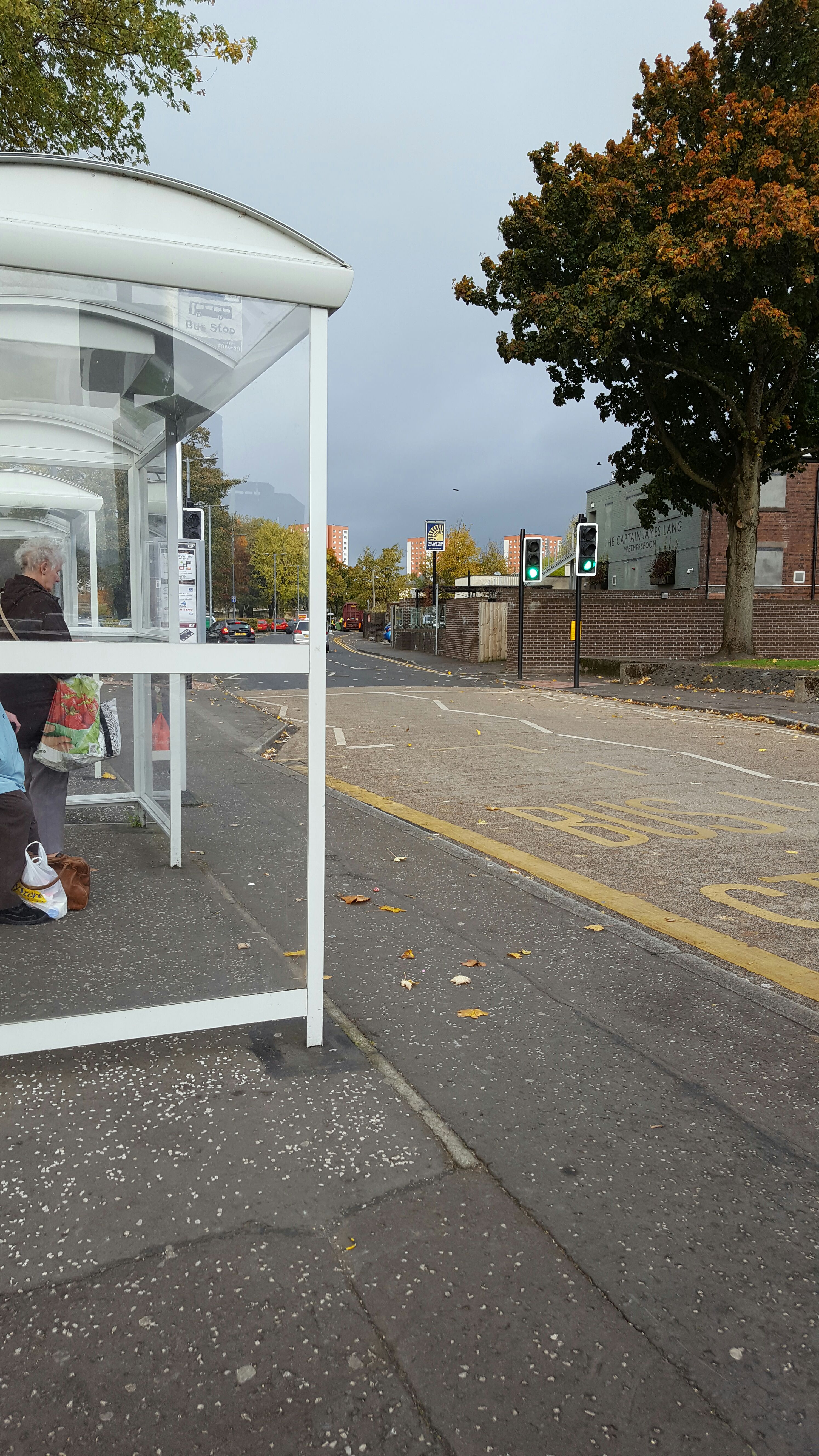 Taken by Dawn B.
See Riverside Lane, Dumbarton stop on the map
Public transport to Riverside Lane, Dumbarton stop (ID: 6080271)
Looking for directions to Riverside Lane, Dumbarton in Dumbarton, United Kingdom?
Download the Moovit App to find the current schedule and step-by-step directions for Bus or Train routes that pass through Riverside Lane, Dumbarton.
Looking for the nearest stops closest to Riverside Lane, Dumbarton ? Check out this list of closest stops to your destination: Castle Street; Bankend Road; St James Retail Park; Dalreoch; Dumbarton Central.
Bus: 1, 1A, 205, 208, 206, 206, 204.Train: SCOTRAIL, CALEDONIAN SLEEPER.
We make riding on public transit to Riverside Lane, Dumbarton easy, which is why over 1.7 billion users, including users in Dumbarton trust Moovit as the best app for public transit.
Use the app to navigate to popular places including to the airport, hospital, stadium, grocery store, mall, coffee shop, school, college, and university.
Riverside Lane, Dumbarton stop’s code is 6080271
The first line to this stop is 204, at 07:29, and the last line is 1A at 00:45.
This stop serves First Greater Glasgow and McColls Travel’s lines
- Castle Street, Dumbarton,
- Bankend Road, Dumbarton,
- St James Retail Park, Dumbarton
Bus stops near Riverside Lane, Dumbarton stop
- Dalreoch,
- Dumbarton Central
Train stations near Riverside Lane, Dumbarton station
- Tesco Supermarket, Duloch Park,
- Greenock Central,
- Royal Alexandra Hospital, Paisley,
- Ardrossan Ferry Terminal, Ardrossan,
- Middle St Car Park, Fort William,
- Visitor Centre Car Park, Crieff,
- Bridge, Cairnryan,
- University Bus Hub, Causewayhead,
- Central Station, Glasgow,
- Livingston North,
- Harbour Slipway, Kyle Of Lochalsh,
- Glasgow Fort, Easterhouse,
- Dalsetter Avenue, Drumchapel,
- St Vincent Street, Glasgow,
- Glenkirk Drive, Drumchapel,
- Victoria Hospital Annexe, Rothesay,
- St Mark's Church Of Scotland, Drumchapel,
- Craiglynne Hotel, Grantown-On-Spey,
- Sir Georges Street Church, Thurso,
- Uig Pier, Uig
Popular public transport stations in Dumbarton
Get around Dumbarton by public transport!
Travelling around Dumbarton has never been so easy. See step by step directions as you travel to any attraction, street or major public transport station. View bus and train timetables, arrival times, service alerts and detailed routes on a map, so you know exactly how to get to anywhere in Dumbarton.
When travelling to any destination around Dumbarton use Moovit's Live Directions with Get Off Notifications to know exactly where and how far to walk, how long to wait for your line , and how many stops are left. Moovit will alert you when it’s time to get off — no need to constantly re-check whether yours is the next stop.
Wondering how to use public transport in Dumbarton or how to pay for public transport in Dumbarton? Moovit public transport app can help you navigate your way with public transport easily, and at minimum cost. It includes public transport fees, ticket prices, and costs. Looking for a map of Dumbarton public transport lines? Moovit public transport app shows all public transport maps in Dumbarton with all Bus, Train, Light rail and Ferry routes and stops on an interactive map.
Scotland has 4 transport type(s), including: Bus, Train, Light rail and Ferry, operated by several transport agencies, including First Greater Glasgow, First Aberdeen, Lothian Buses, McGill's, Stagecoach East Scotland, Stagecoach Bluebird, Xplore Dundee, Community Transport Glasgow, Prentice Westwood, McCall's Coaches, J P Minibus, National Rail, R Robertson & Son, Burnbrae Garage and Ember