Rockingham Road/Brameld Road stop - Friday schedule
| Line | Direction | Time |
|---|---|---|
| 22X | Rotherham Town Centre | 05:48 |
| 72 | Chapeltown | 05:48 |
| 221 | Rotherham Town Centre | 05:49 |
| 22X | Rotherham Town Centre | 06:17 |
| 221 | Rotherham Town Centre | 06:20 |
| 221 | Rotherham Town Centre | 06:40 |
| 22X | Rotherham Town Centre | 06:43 |
| 72 | Chapeltown | 06:43 |
| 221 | Rotherham Town Centre | 07:00 |
| 22X | Rotherham Town Centre | 07:23 |
| 221 | Rotherham Town Centre | 07:35 |
| 22X | Rotherham Town Centre | 07:36 |
| 72 | Chapeltown | 07:38 |
| 22X | Rotherham Town Centre | 07:52 |
| 221 | Rotherham Town Centre | 07:54 |
| 208 | Rotherham Town Centre | 07:59 |
| 22X | Rotherham Town Centre | 08:10 |
| 221 | Rotherham Town Centre | 08:20 |
| 22X | Rotherham Town Centre | 08:28 |
| 72 | Chapeltown | 08:38 |
| 22X | Rotherham Town Centre | 08:43 |
| 221 | Rotherham Town Centre | 08:58 |
| 22X | Rotherham Town Centre | 09:01 |
| 22X | Rotherham Town Centre | 09:16 |
| 221 | Rotherham Town Centre | 09:20 |
Directions to Rockingham Road/Brameld Road stop (Rotherham) with public transport
The following transport lines have routes that pass near Rockingham Road/Brameld Road
 Bus: 221, 22X, 621, 72, 208.
- Train: NORTHERN.
How to get to Rockingham Road/Brameld Road stop by bus?
Click on the bus route to see step by step directions with maps, line arrival times and updated time schedules.
How to get to Rockingham Road/Brameld Road stop by train?
Click on the train route to see step by step directions with maps, line arrival times and updated time schedules.
Bus stops near Rockingham Road/Brameld Road stop in Rotherham
- Racecourse Road/Scorahs Lane, 5 min walk,
- Church Street/Highfields Road, 5 min walk,
- Rookery Road/Highfield Road, 6 min walk,
- Rockingham Road/Woodlands Crescent, 11 min walk,
Train stations near Rockingham Road/Brameld Road station in Rotherham
- Bolton-Upon-Dearne, 6 min walk,
Bus lines to Rockingham Road/Brameld Road stop in Rotherham
- 221, Doncaster Town Centre,
- 621, Conisbrough Church,
- 72, Wath upon Dearne,
- 208, Rotherham Town Centre,
- 216, Cortonwood,
- 217, Rotherham Town Centre,
- 218, Rawmarsh,
- 22X, Rotherham Town Centre,
What are the nearest stations to Rockingham Road/Brameld Road?
The nearest stations to Rockingham Road/Brameld Road are:
- Racecourse Road/Scorahs Lane stop is 354 meters away, 5 min walk.
- Church Street/Highfields Road stop is 384 meters away, 5 min walk.
- Rookery Road/Highfield Road stop is 456 meters away, 6 min walk.
- Bolton-Upon-Dearne station is 456 meters away, 6 min walk.
- Rockingham Road/Woodlands Crescent stop is 831 meters away, 11 min walk.
Which bus lines stop near Rockingham Road/Brameld Road?
These bus lines stop near Rockingham Road/Brameld Road: 221, 22X.
Which train line stops near Rockingham Road/Brameld Road?
NORTHERN (Leeds)
What’s the nearest train station to Rockingham Road/Brameld Road in Rotherham?
The nearest train station to Rockingham Road/Brameld Road in Rotherham is Bolton-Upon-Dearne. It’s a 6 min walk away.
What’s the nearest bus station to Rockingham Road/Brameld Road in Rotherham?
The nearest bus stations to Rockingham Road/Brameld Road in Rotherham are Racecourse Road/Scorahs Lane and Church Street/Highfields Road. The closest one is a 5 min walk away.
What time is the first train to Rockingham Road/Brameld Road in Rotherham?
The NORTHERN is the first train that goes to Rockingham Road/Brameld Road in Rotherham. It stops nearby at 08:22.
What time is the last train to Rockingham Road/Brameld Road in Rotherham?
The NORTHERN is the last train that goes to Rockingham Road/Brameld Road in Rotherham. It stops nearby at 23:54.
What time is the first bus to Rockingham Road/Brameld Road in Rotherham?
The 218 is the first bus that goes to Rockingham Road/Brameld Road in Rotherham. It stops nearby at 06:04.
What time is the last bus to Rockingham Road/Brameld Road in Rotherham?
The 221 is the last bus that goes to Rockingham Road/Brameld Road in Rotherham. It stops nearby at 00:23.
Rockingham Road/Brameld Road station
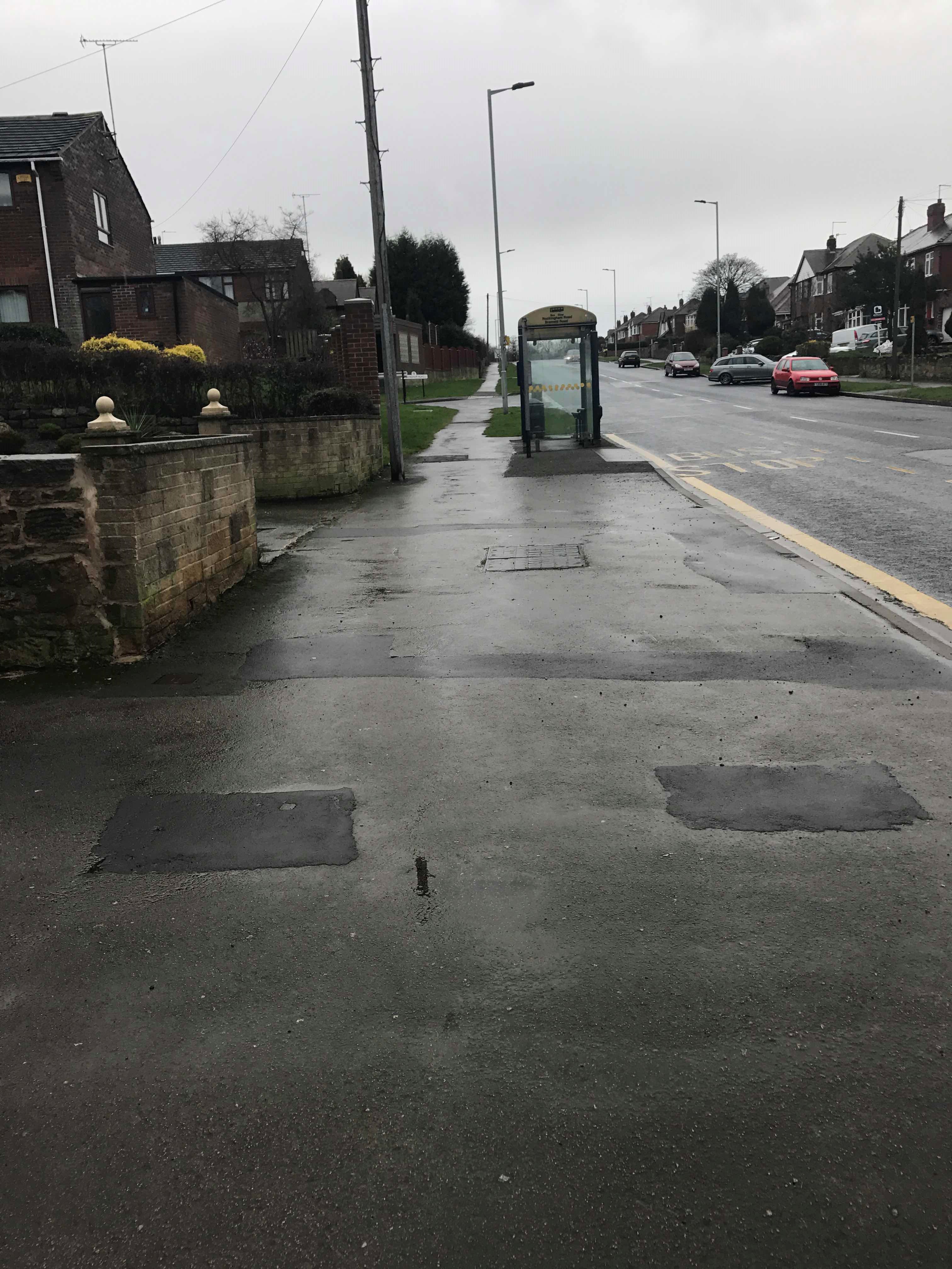 Taken by Anonymous
See Rockingham Road/Brameld Road stop, Rotherham, on the map
Public transport to Rockingham Road/Brameld Road stop (ID: 37035043) in Rotherham
Looking for directions to Rockingham Road/Brameld Road in Rotherham, United Kingdom?
Download the Moovit App to find the current schedule and step-by-step directions for Bus or Train routes that pass through Rockingham Road/Brameld Road.
Looking for the nearest stops closest to Rockingham Road/Brameld Road ? Check out this list of closest stops to your destination: Racecourse Road/Scorahs Lane; Church Street/Highfields Road; Rookery Road/Highfield Road; Bolton-Upon-Dearne; Rockingham Road/Woodlands Crescent.
Bus: 221, 22X, 621, 72, 208, 216, 217, 218.Train: NORTHERN.
We make riding on public transit to Rockingham Road/Brameld Road easy, which is why over 1.7 billion users, including users in Rotherham trust Moovit as the best app for public transit.
Use the app to navigate to popular places including to the airport, hospital, stadium, grocery store, mall, coffee shop, school, college, and university.
Rockingham Road/Brameld Road stop’s code is 37035043
The first line to this stop is 22X, at 05:48, and the last line is 208 at 23:45.
Rockingham Road, England, United Kingdom
This stop serves Stagecoach Yorkshire’s lines
- Racecourse Road/Scorahs Lane,
- Church Street/Highfields Road,
- Rookery Road/Highfield Road,
- Rockingham Road/Woodlands Crescent
Bus stops near Rockingham Road/Brameld Road stop
- Bolton-Upon-Dearne
Train station near Rockingham Road/Brameld Road station
- Kildale,
- Asda Hessle Road,
- Leeds Dyer Street Coach Station,
- Wilmington Drive/Carolina Way,
- Dick Lane Barberry Ave,
- Pond Street/Fs4,
- Headrow G,
- Thorpe Park,
- Newhold,
- Dale Hill Road/Haids Road,
- Branch Road,
- Trinity N,
- Greengates Crossroads,
- Prince Of Wales Road/Motehall Road,
- Stanningley Bottom,
- Enfield Centre,
- Pontefract Park Gates,
- Clarkehouse Road/Rutland Park,
- Gargrave,
- Waingate/Cg12
Popular public transport stations in Rotherham
Get around Rotherham by public transport!
Travelling around Rotherham has never been so easy. See step by step directions as you travel to any attraction, street or major public transport station. View bus and train timetables, arrival times, service alerts and detailed routes on a map, so you know exactly how to get to anywhere in Rotherham.
When travelling to any destination around Rotherham use Moovit's Live Directions with Get Off Notifications to know exactly where and how far to walk, how long to wait for your line , and how many stops are left. Moovit will alert you when it’s time to get off — no need to constantly re-check whether yours is the next stop.
Wondering how to use public transport in Rotherham or how to pay for public transport in Rotherham? Moovit public transport app can help you navigate your way with public transport easily, and at minimum cost. It includes public transport fees, ticket prices, and costs. Looking for a map of Rotherham public transport lines? Moovit public transport app shows all public transport maps in Rotherham with all Bus, Train and Light rail routes and stops on an interactive map.
Yorkshire has 3 transport type(s), including: Bus, Train and Light rail, operated by several transport agencies, including First Leeds, First South Yorkshire, First York, Arriva Yorkshire, Stagecoach Yorkshire, National Rail, First Bradford, First Halifax, Calder Valley & Huddersfield, East Yorkshire, The Keighley Bus Company, South Yorkshire Future Tram, The Harrogate Bus Company, TM Travel, Coastliner and Stevenson's Travel