Rookery Street stop - Wednesday schedule
| Line | Direction | Time |
|---|---|---|
| 9 | Walsall Bus Station | 06:24 |
| 9 | Walsall Bus Station | 06:50 |
| 9 | Walsall Bus Station | 07:21 |
| 9 | Walsall Bus Station | 07:53 |
| 53 | Bilston Bus Station | 08:08 |
| 9 | Walsall Bus Station | 08:33 |
| 65 | Stafford Road | 08:34 |
| 9 | Walsall Bus Station | 09:07 |
| 53 | Bilston Bus Station | 09:08 |
| 65 | Stafford Road | 09:34 |
| 9 | Walsall Bus Station | 09:37 |
| 9 | Walsall Bus Station | 10:07 |
| 53 | Bilston Bus Station | 10:15 |
| 65 | Stafford Road | 10:34 |
| 9 | Walsall Bus Station | 10:37 |
| 9 | Walsall Bus Station | 11:07 |
| 53 | Bilston Bus Station | 11:16 |
| 65 | Stafford Road | 11:34 |
| 9 | Walsall Bus Station | 11:37 |
| 9 | Walsall Bus Station | 12:07 |
| 53 | Bilston Bus Station | 12:16 |
| 65 | Stafford Road | 12:34 |
| 9 | Walsall Bus Station | 12:37 |
| 9 | Walsall Bus Station | 13:07 |
| 53 | Bilston Bus Station | 13:16 |
Directions to Rookery Street stop (Wednesfield South) with public transport
The following transport lines have routes that pass near Rookery Street
 Bus: 25, 59, 9, 57, 65.
- Train: CROSSCOUNTRY, WEST MIDLANDS RAILWAY.
How to get to Rookery Street stop by bus?
Click on the bus route to see step by step directions with maps, line arrival times and updated time schedules.
How to get to Rookery Street stop by train?
Click on the train route to see step by step directions with maps, line arrival times and updated time schedules.
Bus stops near Rookery Street stop in Wednesfield South
- Vicarage Road, 1 min walk,
- Church Street, 5 min walk,
- Bentley Bridge Retail Park, 6 min walk,
Light Rail stations near Rookery Street station in Wednesfield South
- The Royal (West Midlands Metro), 13 min walk,
Bus lines to Rookery Street stop in Wednesfield South
- 57, Hall Street,
- 9, Drake Road,
- 25, Pendeford Business Park,
- 59, Higgs Road,
- 65, Stafford Road,
- 65, Wolverhampton Bus Station,
- 71, Cannock Bus Station,
- 53, Wolverhampton Bus Station,
What are the nearest stations to Rookery Street?
The nearest stations to Rookery Street are:
- Vicarage Road stop is 39 meters away, 1 min walk.
- Church Street stop is 349 meters away, 5 min walk.
- Bentley Bridge Retail Park stop is 420 meters away, 6 min walk.
- The Royal (West Midlands Metro) station is 1012 meters away, 13 min walk.
Which bus lines stop near Rookery Street?
These bus lines stop near Rookery Street: 25, 59, 9.
Which train lines stop near Rookery Street?
These train lines stop near Rookery Street: CROSSCOUNTRY, WEST MIDLANDS RAILWAY.
What’s the nearest light rail station to Rookery Street in Wednesfield South?
The nearest light rail station to Rookery Street in Wednesfield South is The Royal (West Midlands Metro). It’s a 13 min walk away.
What’s the nearest bus station to Rookery Street in Wednesfield South?
The nearest bus station to Rookery Street in Wednesfield South is Vicarage Road. It’s a 1 min walk away.
What time is the first light rail to Rookery Street in Wednesfield South?
The METRO is the first light rail that goes to Rookery Street in Wednesfield South. It stops nearby at 07:42.
What time is the last light rail to Rookery Street in Wednesfield South?
The METRO is the last light rail that goes to Rookery Street in Wednesfield South. It stops nearby at 00:15.
What time is the first bus to Rookery Street in Wednesfield South?
The 59 is the first bus that goes to Rookery Street in Wednesfield South. It stops nearby at 07:41.
What time is the last bus to Rookery Street in Wednesfield South?
The 59 is the last bus that goes to Rookery Street in Wednesfield South. It stops nearby at 23:57.
Rookery Street station
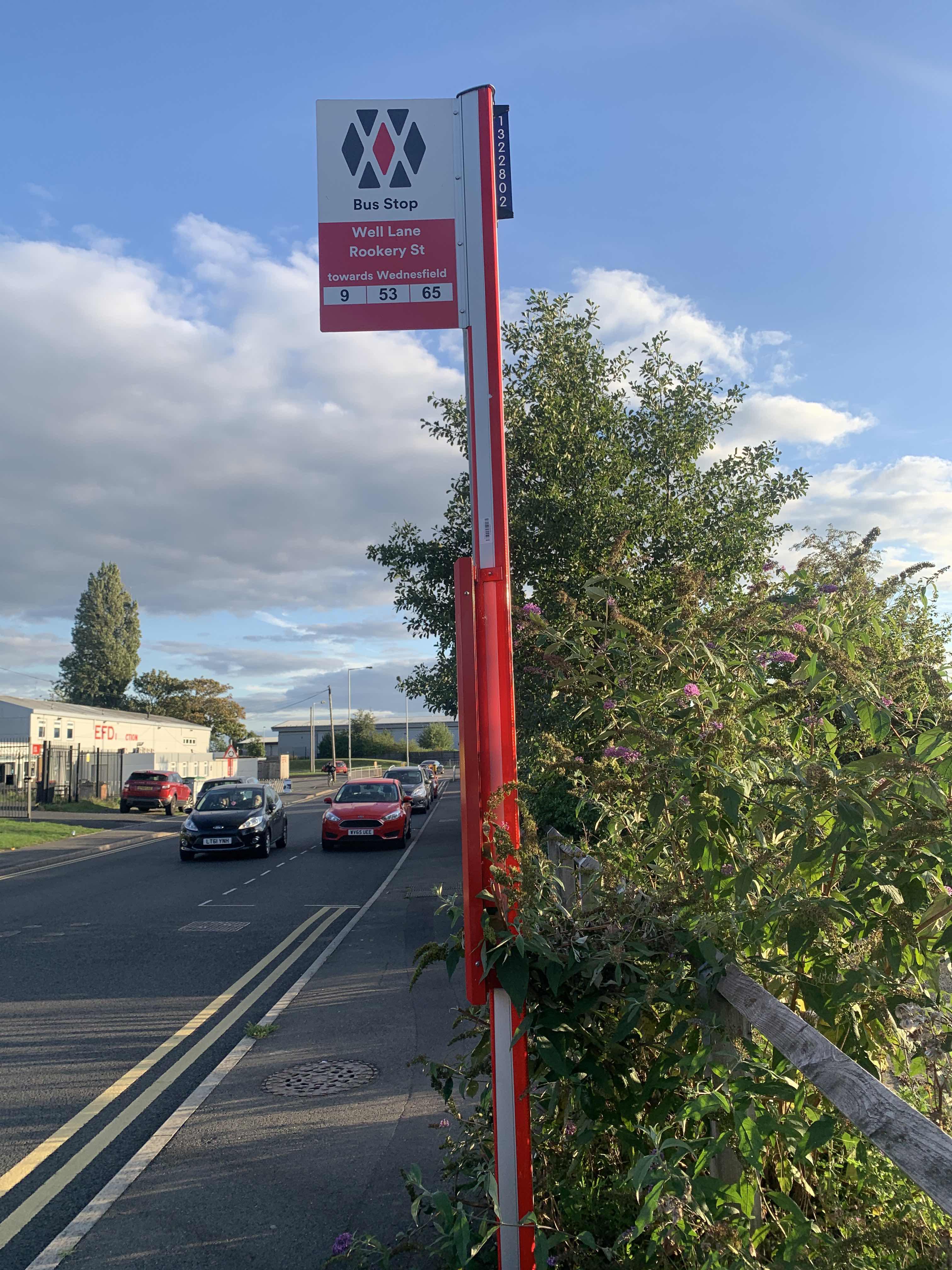 Taken by Anonymous
See Rookery Street stop, Wednesfield South, on the map
Public transport to Rookery Street stop (ID: nwmwtpwt) in Wednesfield South
Looking for directions to Rookery Street in Wednesfield South, United Kingdom?
Download the Moovit App to find the current schedule and step-by-step directions for Bus or Train routes that pass through Rookery Street.
Looking for the nearest stops closest to Rookery Street ? Check out this list of closest stops to your destination: Vicarage Road; Church Street; Bentley Bridge Retail Park; The Royal (West Midlands Metro).
Bus: 25, 59, 9, 57, 65, 65, 53.Train: CROSSCOUNTRY, WEST MIDLANDS RAILWAY.
We make riding on public transit to Rookery Street easy, which is why over 1.7 billion users, including users in Wednesfield South trust Moovit as the best app for public transit.
Use the app to navigate to popular places including to the airport, hospital, stadium, grocery store, mall, coffee shop, school, college, and university.
Rookery Street stop’s code is nwmwtpwt
The first line to this stop is 9, at 06:24, and the last line is 9 at 23:20.
Well Lane, Birmingham/Wolverhampton/Walsall/Dudley, England, United Kingdom
This stop serves Let's Go, National Express West Midlands and Banga Buses’s lines
- Vicarage Road,
- Church Street,
- Bentley Bridge Retail Park
Bus stops near Rookery Street stop
- The Royal (West Midlands Metro)
Light Rail station near Rookery Street station
- Penkridge,
- Warwick Technology Park,
- Cole Hall Lane,
- Bloxwich Hospital,
- Saddlers Centre,
- Rose & Crown,
- Shifnal,
- Screwfix,
- Blood & Transplant Centre,
- St Andrew's Stadium,
- Worcester Shrub Hill,
- Telford College,
- Loxley Road,
- University Station,
- Grange Road,
- Three Shires Oak Road,
- St Cross Hospital,
- Compton Road,
- John Willmott School,
- Stepping Stones
Popular public transport stations in Wednesfield South
Get around Wednesfield South by public transport!
Travelling around Wednesfield South has never been so easy. See step by step directions as you travel to any attraction, street or major public transport station. View bus and train timetables, arrival times, service alerts and detailed routes on a map, so you know exactly how to get to anywhere in Wednesfield South.
When travelling to any destination around Wednesfield South use Moovit's Live Directions with Get Off Notifications to know exactly where and how far to walk, how long to wait for your line , and how many stops are left. Moovit will alert you when it’s time to get off — no need to constantly re-check whether yours is the next stop.
Wondering how to use public transport in Wednesfield South or how to pay for public transport in Wednesfield South? Moovit public transport app can help you navigate your way with public transport easily, and at minimum cost. It includes public transport fees, ticket prices, and costs. Looking for a map of Wednesfield South public transport lines? Moovit public transport app shows all public transport maps in Wednesfield South with all Bus, Train and Light rail routes and stops on an interactive map.
West Midlands has 3 transport type(s), including: Bus, Train and Light rail, operated by several transport agencies, including National Express West Midlands, National Express Coventry, National Express, Diamond Bus, Arriva Midlands, Stagecoach Midlands, West Midlands Metro, Stagecoach West, Stagecoach South Wales, First Potteries, First Worcestershire, LandFlight, trentbarton, D & G Bus and Flexibus