Directions to Rossendale Press (Nedlands) with public transport
The following transport lines have routes that pass near Rossendale Press
 Bus: 24, 950, 950X, 96, 995.
- Train: AIRPORT LINE, FREMANTLE LINE, 906.
How to get to Rossendale Press by bus?
Click on the bus route to see step by step directions with maps, line arrival times and updated time schedules.
From Rendezvous Hotel Perth Scarborough, Scarborough
74 minFrom Rendezvous Hotel, Scarborough
75 minFrom Clancy's Fish Pub, Fremantle
62 minFrom City Beach, Perth
29 minFrom Family Court of Western Australia, Perth
36 minFrom Barrack Street, Perth
36 minFrom Kangaroo Inn Perth, Perth
35 minFrom Melville, Melville
61 minFrom Tech Revo Group Pty, Innaloo
75 minFrom All Saints’ College, Bull Creek
107 min
How to get to Rossendale Press by train?
Click on the train route to see step by step directions with maps, line arrival times and updated time schedules.
Bus stops near Rossendale Press in Nedlands
Train stations near Rossendale Press in Nedlands
Bus lines to Rossendale Press in Nedlands
- 25, Claremont Stn,VIEW
- 103, Claremont Stn,VIEW
- 995, Elizabeth Quay Bus Stn,VIEW
- 999, Fremantle Stn,VIEW
- 998, Stirling Stn,VIEW
- 24, East Perth,VIEW
- 96, Leederville Stn,VIEW
- 97, Subiaco Stn,VIEW
- ELIZABETH QUAY BUS STN - HACKETT DR UWA BUSINESS SCHOOL CAT ID 123, Elizabeth Quay Bus Stn,VIEW
- 950, Qeii Medical Ctr,VIEW
What are the nearest stations to Rossendale Press?
The nearest stations to Rossendale Press are:
- Smyth Rd After Karella St is 265 meters away, 5 min walk.
- Stirling Hwy Before Tyrell St is 657 meters away, 9 min walk.
- Stirling Hwy After Portland St is 658 meters away, 9 min walk.
- Hampden Rd Karella Street Cat Id 129 is 674 meters away, 9 min walk.
- Swanbourne Stn is 679 meters away, 9 min walk.
- Showgrounds Stn is 914 meters away, 12 min walk.
- Loch Street Stn is 1832 meters away, 24 min walk.
Which bus lines stop near Rossendale Press?
These bus lines stop near Rossendale Press: 24, 950, 950X, 96, 995, 998, 999.
Which train lines stop near Rossendale Press?
These train lines stop near Rossendale Press: AIRPORT LINE, FREMANTLE LINE.
What’s the nearest train station to Rossendale Press in Nedlands?
The nearest train station to Rossendale Press in Nedlands is Swanbourne Stn. It’s a 9 min walk away.
What’s the nearest bus station to Rossendale Press in Nedlands?
The nearest bus station to Rossendale Press in Nedlands is Smyth Rd After Karella St. It’s a 5 min walk away.
What time is the first train to Rossendale Press in Nedlands?
The FREMANTLE LINE is the first train that goes to Rossendale Press in Nedlands. It stops nearby at 05:30.
What time is the last train to Rossendale Press in Nedlands?
The FREMANTLE LINE is the last train that goes to Rossendale Press in Nedlands. It stops nearby at 00:33.
What time is the first bus to Rossendale Press in Nedlands?
The 950 is the first bus that goes to Rossendale Press in Nedlands. It stops nearby at 04:54.
What time is the last bus to Rossendale Press in Nedlands?
The 950 is the last bus that goes to Rossendale Press in Nedlands. It stops nearby at 00:57.
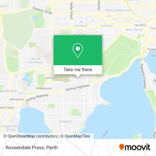
See Rossendale Press, Nedlands, on the map
Public Transit to Rossendale Press in Nedlands
Wondering how to get to Rossendale Press in Nedlands? Moovit helps you find the best way to get to Rossendale Press with step-by-step directions from the nearest public transit station.
Moovit provides free maps and live directions to help you navigate through your city. View schedules, routes, timetables, and find out how long does it take to get to Rossendale Press in real time.
Looking for the nearest stop or station to Rossendale Press? Check out this list of stops closest to your destination: Smyth Rd After Karella St; Stirling Hwy Before Tyrell St; Stirling Hwy After Portland St; Hampden Rd Karella Street Cat Id 129; Swanbourne Stn; Showgrounds Stn; Loch Street Stn.
Bus: 24, 950, 950X, 96, 995, 998, 999, 25, 103.Train: AIRPORT LINE, FREMANTLE LINE, 906.
Want to see if there’s another route that gets you there at an earlier time? Moovit helps you find alternative routes or times. Get directions from and directions to Rossendale Press easily from the Moovit App or Website.
We make riding to Rossendale Press easy, which is why over 1.5 million users, including users in Nedlands, trust Moovit as the best app for public transit. You don’t need to download an individual bus app or train app, Moovit is your all-in-one transit app that helps you find the best bus time or train time available.
For information on prices of bus and train, costs and ride fares to Rossendale Press, please check the Moovit app.
Use the app to navigate to popular places including to the airport, hospital, stadium, grocery store, mall, coffee shop, school, college, and university.
Rossendale Press Address: 5 Portland St Nedlands WA 6009 street in Nedlands
- Matrix Link Services Pty,
- Singh Hira,
- Drainview,
- Regis Hollywood Village,
- Samali de Tissera Piano,
- Simply Better Movement,
- K Mathews Accounting and Auditing Services,
- Aluimport Cardiology,
- Dr Kevin Dolan,
- Girl Guide Hall,
- Good Sammies Donation Bin,
- Suburban Lions Hockey Academy,
- Kidz Biz on Monash,
- Hollywood Private Hospital,
- Opera in Co,
- Land Water Developments Pty,
- Kempton Azzopardi,
- Insotec Group,
- Dr J Beilin,
- Wa Cardiology
Places Near Rossendale Press (Nedlands)
- Karrinyup Shopping Centre, Karrinyup,
- Blue Boat House,
- Royal Perth Hospital, Perth,
- Mount Hospital, Perth,
- IKEA, Innaloo,
- Westfield Carousel, Cannington,
- McCallum Park, Victoria Park,
- Perth Convention Exhibition Centre, Perth,
- Optus Stadium, Burswood,
- Pelicaan Investment Ho, Bellevue,
- Rac Arena, Perth,
- DFO, Perth Airport,
- Aqwa Aquarium, Hillarys,
- Crown Perth Casino, Burswood,
- Fiona Stanley Hospital, Murdoch,
- Scitech, West Perth,
- Watertown, Perth,
- Langley Park, Perth,
- Sir Charles Gairdner Hospital, Nedlands,
- Yankee Mart, Baldivis
How to get to popular places in Perth with public transport
Get around Nedlands by public transport!
Travelling around Nedlands has never been so easy. See step by step directions as you travel to any attraction, street or major public transport station. View bus and train timetables, arrival times, service alerts and detailed routes on a map, so you know exactly how to get to anywhere in Nedlands.
When travelling to any destination around Nedlands use Moovit's Live Directions with Get Off Notifications to know exactly where and how far to walk, how long to wait for your line , and how many stops are left. Moovit will alert you when it’s time to get off — no need to constantly re-check whether yours is the next stop.
Wondering how to use public transport in Nedlands or how to pay for public transport in Nedlands? Moovit public transport app can help you navigate your way with public transport easily, and at minimum cost. It includes public transport fees, ticket prices, and costs. Looking for a map of Nedlands public transport lines? Moovit public transport app shows all public transport maps in Nedlands with all Bus, Train and Ferry routes and stops on an interactive map.
Perth has 3 transport type(s), including: Bus, Train and Ferry, operated by several transport agencies, including Transperth Rail, Transwa, Transperth Ferry, Transperth, TransBusselton, TransAlbany, TransGoldfields, TransEsperance, TransGeraldton, TransCarnarvon, TransHedland, TransKarratha, TransBunbury, Mandurah Bus Charter and TransBroome