Soho Rd stop - Thursday schedule
| Line | Direction | Time |
|---|---|---|
| 11A | Shirley Road | 05:06 |
| 11A | Shirley Road | 05:25 |
| 11A | Shirley Road | 05:44 |
| 11A | Shirley Road | 06:00 |
| 11A | Shirley Road | 06:14 |
| 11A | Shirley Road | 06:27 |
| 11A | Shirley Road | 06:37 |
| 11A | Shirley Road | 06:49 |
| 11A | Shirley Road | 07:00 |
| 11A | Shirley Road | 07:10 |
| 11A | Shirley Road | 07:21 |
| 11A | Shirley Road | 07:29 |
| 11A | Shirley Road | 07:38 |
| 11A | Shirley Road | 07:45 |
| 11A | Shirley Road | 07:55 |
| 11A | Shirley Road | 08:04 |
| 11A | Shirley Road | 08:14 |
| 11A | Shirley Road | 08:24 |
| 11A | Shirley Road | 08:34 |
| 11A | Shirley Road | 08:44 |
| 11A | Shirley Road | 08:54 |
| 11A | Shirley Road | 09:05 |
| 11A | Shirley Road | 09:13 |
| 11A | Shirley Road | 09:21 |
| 11A | Shirley Road | 09:31 |
Directions to Soho Rd stop (Soho & Jewellery Quarter) with public transport
The following transport lines have routes that pass near Soho Rd
 Bus: 11A, 11C, 74, 101.
- Train: WEST MIDLANDS RAILWAY, CHILTERN RAILWAYS.
- Light rail: METRO.
How to get to Soho Rd stop by bus?
Click on the bus route to see step by step directions with maps, line arrival times and updated time schedules.
How to get to Soho Rd stop by train?
Click on the train route to see step by step directions with maps, line arrival times and updated time schedules.
Bus stops near Soho Rd stop in Soho & Jewellery Quarter
- Boulton Rd, 2 min walk,
- Tew Park Rd, 3 min walk,
- Handsworth Grammar School, 6 min walk,
Light Rail stations near Soho Rd station in Soho & Jewellery Quarter
- Handsworth Booth Street (West Midlands Metro), 32 min walk,
Train stations near Soho Rd station in Soho & Jewellery Quarter
- The Hawthorns, 37 min walk,
Bus lines to Soho Rd stop in Soho & Jewellery Quarter
- 74, West Bromwich Bus Station,
- 11C, Six Ways,
- 11A, Serpentine Rd,
- 101, Colmore Row,
What are the nearest stations to Soho Rd?
The nearest stations to Soho Rd are:
- Boulton Rd is 118 meters away, 2 min walk.
- Tew Park Rd is 223 meters away, 3 min walk.
- Handsworth Grammar School is 397 meters away, 6 min walk.
- Handsworth Booth Street (West Midlands Metro) is 2440 meters away, 32 min walk.
- The Hawthorns is 2866 meters away, 37 min walk.
Which bus lines stop near Soho Rd?
These bus lines stop near Soho Rd: 11A, 11C, 74.
Which train line stops near Soho Rd?
WEST MIDLANDS RAILWAY (Stafford)
Which light rail line stops near Soho Rd?
METRO (Edgbaston Village)
What’s the nearest bus station to Soho Rd in Soho & Jewellery Quarter?
The nearest bus station to Soho Rd in Soho & Jewellery Quarter is Boulton Rd. It’s a 2 min walk away.
What time is the first light rail to Soho Rd in Soho & Jewellery Quarter?
The METRO is the first light rail that goes to Soho Rd in Soho & Jewellery Quarter. It stops nearby at 04:42.
What time is the last light rail to Soho Rd in Soho & Jewellery Quarter?
The METRO is the last light rail that goes to Soho Rd in Soho & Jewellery Quarter. It stops nearby at 00:56.
What time is the first train to Soho Rd in Soho & Jewellery Quarter?
The WEST MIDLANDS RAILWAY is the first train that goes to Soho Rd in Soho & Jewellery Quarter. It stops nearby at 06:08.
What time is the last train to Soho Rd in Soho & Jewellery Quarter?
The WEST MIDLANDS RAILWAY is the last train that goes to Soho Rd in Soho & Jewellery Quarter. It stops nearby at 23:42.
What time is the first bus to Soho Rd in Soho & Jewellery Quarter?
The 74 is the first bus that goes to Soho Rd in Soho & Jewellery Quarter. It stops nearby at 03:38.
What time is the last bus to Soho Rd in Soho & Jewellery Quarter?
The 74 is the last bus that goes to Soho Rd in Soho & Jewellery Quarter. It stops nearby at 01:19.
Soho Rd station
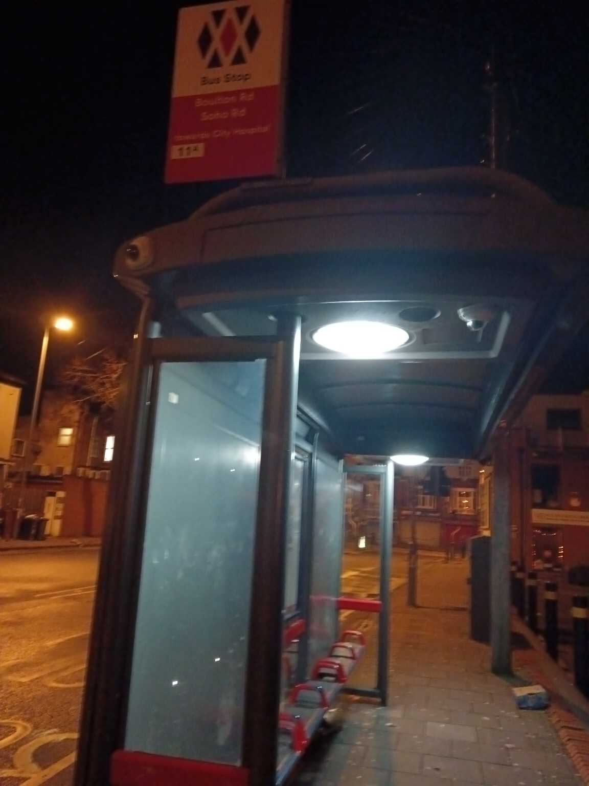 Taken by Anonymous
See Soho Rd stop, Soho & Jewellery Quarter, on the map
Public transport to Soho Rd stop (ID: nwmpjtjt) in Soho & Jewellery Quarter
Looking for directions to Soho Rd in Soho & Jewellery Quarter, United Kingdom?
Download the Moovit App to find the current schedule and step-by-step directions for Bus, Train or Light rail routes that pass through Soho Rd.
Looking for the nearest stops closest to Soho Rd ? Check out this list of closest stops to your destination: Boulton Rd; Tew Park Rd; Handsworth Grammar School; Handsworth Booth Street (West Midlands Metro); The Hawthorns.
Bus: 11A, 11C, 74, 101.Train: WEST MIDLANDS RAILWAY, CHILTERN RAILWAYS.Light rail: METRO.
We make riding on public transit to Soho Rd easy, which is why over 1.5 million users, including users in Soho & Jewellery Quarter trust Moovit as the best app for public transit.
Use the app to navigate to popular places including to the airport, hospital, stadium, grocery store, mall, coffee shop, school, college, and university.
Soho Rd stop’s code is nwmpjtjt
The first line to this stop is 11A, at 05:06, and the last line is 11A at 00:03.
Barn Lane, Birmingham, England, United Kingdom
This stop serves National Express West Midlands and New Bharat Coaches (Southall, London)’s lines
- Boulton Rd,
- Tew Park Rd,
- Handsworth Grammar School
Bus stops near Soho Rd stop
- Handsworth Booth Street (West Midlands Metro)
Light Rail station near Soho Rd station
- The Hawthorns
Train station near Soho Rd station
- Butlers Lane,
- Birmingham Moor Street,
- Rail Station Bridge,
- Bakers Lane,
- Stratford Road,
- Osborne Rd,
- George Eliot Hospital Main Entrance,
- Manor Way Bridge,
- Tesco,
- Ash Green School,
- Smithfield Shopping Centre,
- Greaves Avenue,
- Swan Shopping Centre,
- Three Shires Oak Rd,
- Cresswell Crescent,
- The Ivy Bush,
- Morrisons,
- The Radleys,
- Ludlow Park & Ride,
- Watford Junction
Popular public transport stations in Soho & Jewellery Quarter
Get around Soho & Jewellery Quarter by public transport!
Travelling around Soho & Jewellery Quarter has never been so easy. See step by step directions as you travel to any attraction, street or major public transport station. View bus and train timetables, arrival times, service alerts and detailed routes on a map, so you know exactly how to get to anywhere in Soho & Jewellery Quarter.
When travelling to any destination around Soho & Jewellery Quarter use Moovit's Live Directions with Get Off Notifications to know exactly where and how far to walk, how long to wait for your line , and how many stops are left. Moovit will alert you when it’s time to get off — no need to constantly re-check whether yours is the next stop.
Wondering how to use public transport in Soho & Jewellery Quarter or how to pay for public transport in Soho & Jewellery Quarter? Moovit public transport app can help you navigate your way with public transport easily, and at minimum cost. It includes public transport fees, ticket prices, and costs. Looking for a map of Soho & Jewellery Quarter public transport lines? Moovit public transport app shows all public transport maps in Soho & Jewellery Quarter with all Bus, Train and Light rail routes and stops on an interactive map.
West Midlands has 3 transport type(s), including: Bus, Train and Light rail, operated by several transport agencies, including National Express West Midlands, National Express Coventry, National Express, Diamond Bus, Arriva Midlands, Stagecoach Midlands, West Midlands Metro, Stagecoach West, Stagecoach South Wales, First Potteries, First Worcestershire, LandFlight, trentbarton, D & G Bus and Flexibus