St Anne's Road stop - Tuesday schedule
| Line | Direction | Time |
|---|---|---|
| 24 | Lawnswood School | 03:27 |
| 24 | Lawnswood School | 04:27 |
| 28 | Adel | 05:07 |
| 24 | Holt Park | 05:22 |
| 25 | Lawnswood School | 05:33 |
| X84 | Ilkley Bus Station | 05:37 |
| 23 | Holt Park | 05:46 |
| 28 | Adel | 06:04 |
| 25 | Lawnswood School | 06:10 |
| 24 | Holt Park | 06:15 |
| 22 | Headingley Campus | 06:20 |
| 23 | Holt Park | 06:26 |
| 24 | Holt Park | 06:33 |
| 28 | Adel | 06:36 |
| 25 | Lawnswood School | 06:39 |
| 23 | Holt Park | 06:43 |
| X84 | Ilkley Bus Station | 06:45 |
| 24 | Holt Park | 06:49 |
| 24 | Holt Park | 06:59 |
| 23 | Holt Park | 07:00 |
| 25 | Lawnswood School | 07:09 |
| 24 | Holt Park | 07:14 |
| 23 | Holt Park | 07:18 |
| 28 | Adel | 07:20 |
| 22 | Headingley Campus | 07:24 |
Directions to St Anne's Road stop (Leeds) with public transport
The following transport lines have routes that pass near St Anne's Road
How to get to St Anne's Road stop by bus?
Click on the bus route to see step by step directions with maps, line arrival times and updated time schedules.
Bus stops near St Anne's Road stop in Leeds
- St Chads Drive, 2 min walk,
- Shaw Lane, 3 min walk,
- Leeds, 39 min walk,
Bus lines to St Anne's Road stop in Leeds
- PH2, Prince Henrys Grammar School,
- 22, Headingley Campus,
- 23, Holt Park,
- 24, Holt Park,
- 25, Lawnswood School,
- 27, Guiseley Morrisons,
- 28, Adel,
- X84, Leeds Bus Station,
- 874, Wetherby Bus Stn A,
- 91, Pudsey Bus Station,
- CROSSCOUNTRY, Birmingham New Street,
- LONDON NORTH EASTERN RAILWAY, London Kings Cross,
- NORTHERN, Carlisle,
- NORTHERN, Bus Replacement: Huddersfield,
- TRANSPENNINE EXPRESS, Leeds,
- TRANSPENNINE EXPRESS, Bus Replacement: York,
What are the nearest stations to St Anne's Road?
The nearest stations to St Anne's Road are:
- St Chads Drive is 99 meters away, 2 min walk.
- Shaw Lane is 170 meters away, 3 min walk.
- Leeds is 2974 meters away, 39 min walk.
Which bus lines stop near St Anne's Road?
These bus lines stop near St Anne's Road: 22, 23, 27.
What’s the nearest bus station to St Anne's Road in Leeds?
The nearest bus station to St Anne's Road in Leeds is St Chads Drive. It’s a 2 min walk away.
What time is the first train to St Anne's Road in Leeds?
The TRANSPENNINE EXPRESS is the first train that goes to St Anne's Road in Leeds. It stops nearby at 03:17.
What time is the last train to St Anne's Road in Leeds?
The TRANSPENNINE EXPRESS is the last train that goes to St Anne's Road in Leeds. It stops nearby at 04:17.
What time is the first bus to St Anne's Road in Leeds?
The 28 is the first bus that goes to St Anne's Road in Leeds. It stops nearby at 04:59.
What time is the last bus to St Anne's Road in Leeds?
The 24 is the last bus that goes to St Anne's Road in Leeds. It stops nearby at 02:43.
St Anne's Road station
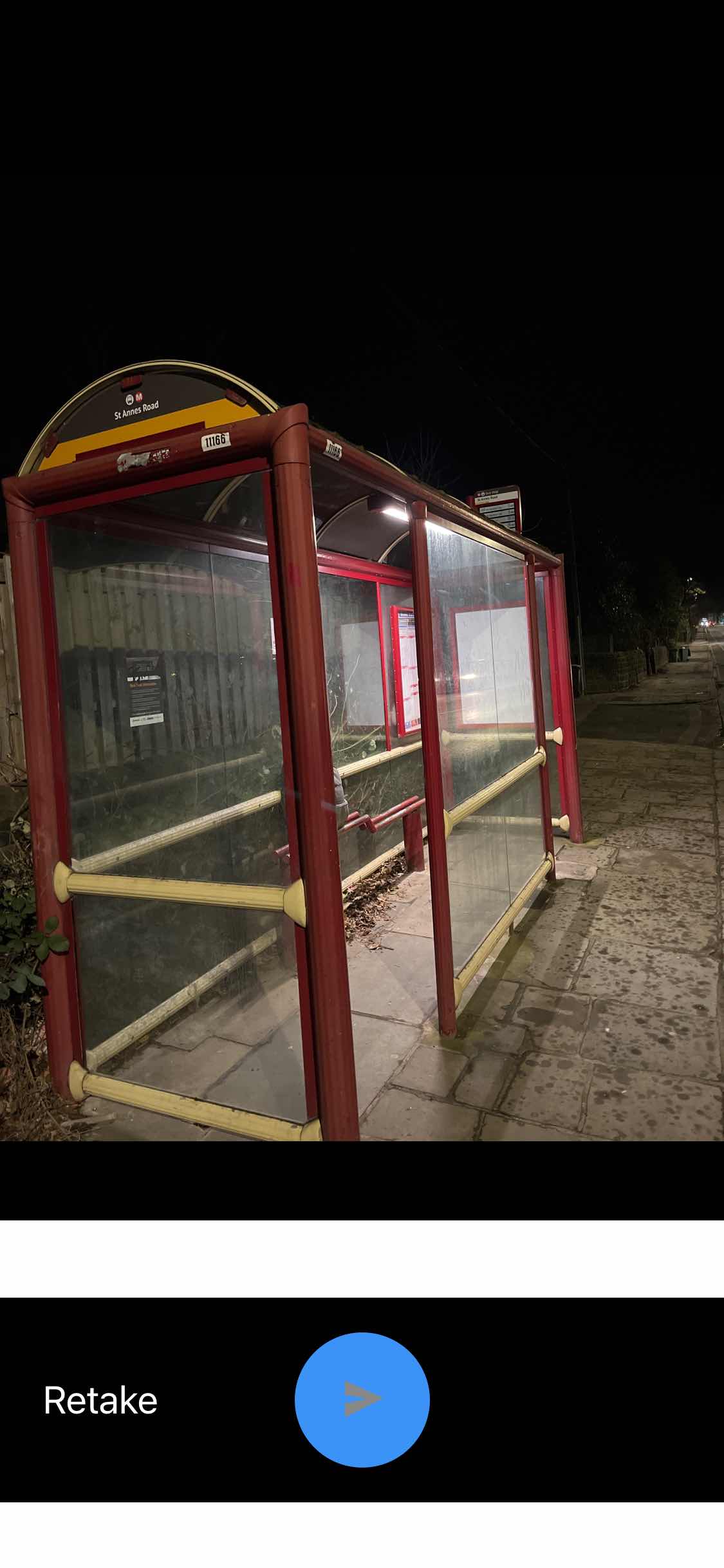 Taken by John B.
See St Anne's Road stop, Leeds, on the map
Public transport to St Anne's Road stop (ID: 45011166) in Leeds
Looking for directions to St Anne's Road in Leeds, United Kingdom?
Download the Moovit App to find the current schedule and step-by-step directions for Bus routes that pass through St Anne's Road.
Looking for the nearest stops closest to St Anne's Road ? Check out this list of closest stops to your destination: St Chads Drive; Shaw Lane; Leeds.
Bus: 22, 23, 27, PH2, 24, 25, 91, CROSSCOUNTRY, LONDON NORTH EASTERN RAILWAY, NORTHERN, NORTHERN, TRANSPENNINE EXPRESS.
We make riding on public transit to St Anne's Road easy, which is why over 1.5 million users, including users in Leeds trust Moovit as the best app for public transit.
Use the app to navigate to popular places including to the airport, hospital, stadium, grocery store, mall, coffee shop, school, college, and university.
St Anne's Road stop’s code is 45011166
The first line to this stop is 24, at 03:27, and the last line is 24 at 02:27.
115a Otley Road, Leeds, England, United Kingdom
This stop serves First Leeds’s lines
Popular public transport stations in Leeds
Get around Leeds by public transport!
Travelling around Leeds has never been so easy. See step by step directions as you travel to any attraction, street or major public transport station. View bus and train timetables, arrival times, service alerts and detailed routes on a map, so you know exactly how to get to anywhere in Leeds.
When travelling to any destination around Leeds use Moovit's Live Directions with Get Off Notifications to know exactly where and how far to walk, how long to wait for your line , and how many stops are left. Moovit will alert you when it’s time to get off — no need to constantly re-check whether yours is the next stop.
Wondering how to use public transport in Leeds or how to pay for public transport in Leeds? Moovit public transport app can help you navigate your way with public transport easily, and at minimum cost. It includes public transport fees, ticket prices, and costs. Looking for a map of Leeds public transport lines? Moovit public transport app shows all public transport maps in Leeds with all Bus, Train and Light rail routes and stops on an interactive map.
Yorkshire has 3 transport type(s), including: Bus, Train and Light rail, operated by several transport agencies, including First Leeds, First South Yorkshire, First York, Arriva Yorkshire, Stagecoach Yorkshire, National Rail, First Bradford, First Halifax, Calder Valley & Huddersfield, East Yorkshire, The Keighley Bus Company, South Yorkshire Future Tram, The Harrogate Bus Company, TM Travel, Coastliner and Stevenson's Travel