Stafford Street stop - Friday schedule
| Line | Direction | Time |
|---|---|---|
| 126 | The Trafford Centre Bus Station | 05:35 |
| 126 | The Trafford Centre Bus Station | 06:41 |
| 126 | The Trafford Centre Bus Station | 07:37 |
| 594 | Leigh Bus Station | 07:40 |
| 594 | Leigh Bus Station | 08:51 |
| 126 | The Trafford Centre Bus Station | 09:23 |
| 594 | Leigh Bus Station | 10:04 |
| 126 | The Trafford Centre Bus Station | 10:18 |
| 594 | Leigh Bus Station | 11:04 |
| 126 | The Trafford Centre Bus Station | 11:18 |
| 594 | Leigh Bus Station | 12:04 |
| 126 | The Trafford Centre Bus Station | 12:18 |
| 594 | Leigh Bus Station | 13:04 |
| 126 | The Trafford Centre Bus Station | 13:18 |
| 594 | Leigh Bus Station | 14:04 |
| 126 | The Trafford Centre Bus Station | 14:18 |
| 594 | Leigh Bus Station | 14:59 |
| 126 | The Trafford Centre Bus Station | 15:20 |
| 594 | Leigh Bus Station | 16:10 |
| 126 | The Trafford Centre Bus Station | 16:19 |
| 594 | Leigh Bus Station | 17:10 |
| 126 | The Trafford Centre Bus Station | 17:29 |
| 594 | Leigh Bus Station | 18:09 |
| 126 | The Trafford Centre Bus Station | 18:20 |
| 594 | Leigh Bus Station | 19:02 |
Directions to Stafford Street stop (Leigh) with public transport
The following transport lines have routes that pass near Stafford Street
How to get to Stafford Street stop by bus?
Click on the bus route to see step by step directions with maps, line arrival times and updated time schedules.
Bus stops near Stafford Street stop in Leigh
- Stafford Street, 1 min walk,
- Bedford High School, 4 min walk,
- Greendale Crescent, 10 min walk,
Bus lines to Stafford Street stop in Leigh
- WVR3, Astley - Warrington,
- 35, Leigh - Manchester,
- 126, Trafford Park - Leigh,
- 594, Leigh,
- 982, Leigh - Astley,
- 983, Astley - Hindley,
- 984, Leigh - Astley,
- 984, Lowton - Astley,
- 989, Atherton - Astley,
- 992, Bedford High School,
- 991, Bedford High School,
- 609, Royal Drive,
What are the nearest stations to Stafford Street?
The nearest stations to Stafford Street are:
- Stafford Street is 47 meters away, 1 min walk.
- Bedford High School is 281 meters away, 4 min walk.
- Greendale Crescent is 745 meters away, 10 min walk.
Which bus lines stop near Stafford Street?
These bus lines stop near Stafford Street: 126, 35.
What’s the nearest bus station to Stafford Street in Leigh?
The nearest bus station to Stafford Street in Leigh is Stafford Street. It’s a 1 min walk away.
What time is the first bus to Stafford Street in Leigh?
The 35 is the first bus that goes to Stafford Street in Leigh. It stops nearby at 08:19.
What time is the last bus to Stafford Street in Leigh?
The 609 is the last bus that goes to Stafford Street in Leigh. It stops nearby at 01:14.
Stafford Street station
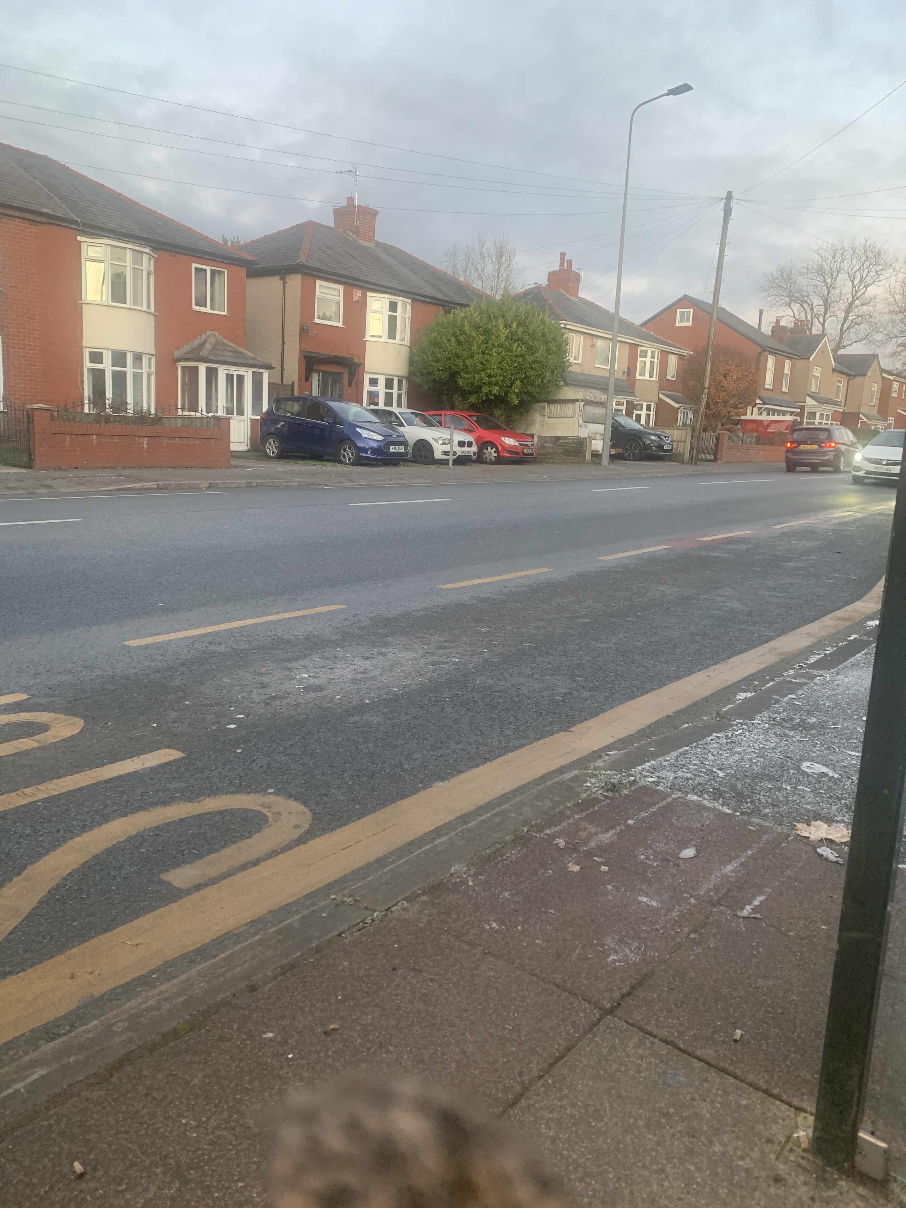 Taken by Anonymous
See Stafford Street stop, Leigh, on the map
Public transport to Stafford Street stop (ID: MANTDGMJ) in Leigh
Looking for directions to Stafford Street in Leigh, United Kingdom?
Download the Moovit App to find the current schedule and step-by-step directions for Bus routes that pass through Stafford Street.
Looking for the nearest stops closest to Stafford Street ? Check out this list of closest stops to your destination: Stafford Street; Bedford High School; Greendale Crescent.
Bus: 126, 35, WVR3, 594, 982, 992, 991, 609.
We make riding on public transit to Stafford Street easy, which is why over 1.5 million users, including users in Leigh trust Moovit as the best app for public transit.
Use the app to navigate to popular places including to the airport, hospital, stadium, grocery store, mall, coffee shop, school, college, and university.
Stafford Street stop’s code is MANTDGMJ
The first line to this stop is 126, at 05:35, and the last line is 126 at 22:57.
This stop serves Bee Network’s lines
Popular public transport stations in Leigh
Get around Leigh by public transport!
Travelling around Leigh has never been so easy. See step by step directions as you travel to any attraction, street or major public transport station. View bus and train timetables, arrival times, service alerts and detailed routes on a map, so you know exactly how to get to anywhere in Leigh.
When travelling to any destination around Leigh use Moovit's Live Directions with Get Off Notifications to know exactly where and how far to walk, how long to wait for your line , and how many stops are left. Moovit will alert you when it’s time to get off — no need to constantly re-check whether yours is the next stop.
Wondering how to use public transport in Leigh or how to pay for public transport in Leigh? Moovit public transport app can help you navigate your way with public transport easily, and at minimum cost. It includes public transport fees, ticket prices, and costs. Looking for a map of Leigh public transport lines? Moovit public transport app shows all public transport maps in Leigh with all Bus, Train, Light rail and Ferry routes and stops on an interactive map.
North West has 4 transport type(s), including: Bus, Train, Light rail and Ferry, operated by several transport agencies, including Arriva North West, Stagecoach Merseyside and South Lancashire, Stagecoach Cumbria and North Lancashire, First Halifax, National Express, Warrington's Own Buses, First Potteries, Rosso, Blackpool Transport, The Blackburn Bus Company, The Burnley Bus Company, Vision Bus, National Rail, Huyton Travel and Stotts Tours