Directions to Stephs Place (Westfield) with public transport
The following transport lines have routes that pass near Stephs Place
 Bus: 245, 243, 244.
- Train: ARMADALE LINE.
How to get to Stephs Place by bus?
Click on the bus route to see step by step directions with maps, line arrival times and updated time schedules.
From Ranford Road, Canning Vale
82 minFrom Mills park, Beckenham
90 minFrom Canning Vale Markets, Canning Vale
76 minFrom Market City, Canning Vale
76 minFrom Spencer Village Food Court, Thornlie
56 minFrom Australian Islamic College, Thornlie, Thornlie
53 minFrom Southern River, Southern River
96 minFrom Kronor Pty LTD Atf K, Canning Vale
80 minFrom Forest Lakes Drive, Thornlie
57 minFrom E-ZZZ Sedation, Canning Vale
84 min
How to get to Stephs Place by train?
Click on the train route to see step by step directions with maps, line arrival times and updated time schedules.
Bus stops near Stephs Place in Westfield
Bus lines to Stephs Place in Westfield
What are the nearest stations to Stephs Place?
The nearest stations to Stephs Place are:
- O'Sullivan Dr After Ypres Rd is 74 meters away, 1 min walk.
- Westfield Rd After Grovelands Dr is 116 meters away, 2 min walk.
- Third Av Before Shawfield St is 957 meters away, 13 min walk.
Which bus line stops near Stephs Place?
245 (Armadale Stn)
Which train line stops near Stephs Place?
ARMADALE LINE (Byford Stn)
What’s the nearest bus station to Stephs Place in Westfield?
The nearest bus station to Stephs Place in Westfield is O'Sullivan Dr After Ypres Rd. It’s a 1 min walk away.
What time is the first bus to Stephs Place in Westfield?
The 245 is the first bus that goes to Stephs Place in Westfield. It stops nearby at 04:54.
What time is the last bus to Stephs Place in Westfield?
The 245 is the last bus that goes to Stephs Place in Westfield. It stops nearby at 21:58.
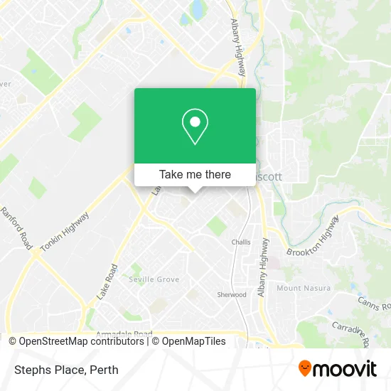
See Stephs Place, Westfield, on the map
Public Transit to Stephs Place in Westfield
Wondering how to get to Stephs Place in Westfield? Moovit helps you find the best way to get to Stephs Place with step-by-step directions from the nearest public transit station.
Moovit provides free maps and live directions to help you navigate through your city. View schedules, routes, timetables, and find out how long does it take to get to Stephs Place in real time.
Looking for the nearest stop or station to Stephs Place? Check out this list of stops closest to your destination: O'Sullivan Dr After Ypres Rd; Westfield Rd After Grovelands Dr; Third Av Before Shawfield St.
Bus: 245, 243, 244.Train: ARMADALE LINE.
Want to see if there’s another route that gets you there at an earlier time? Moovit helps you find alternative routes or times. Get directions from and directions to Stephs Place easily from the Moovit App or Website.
We make riding to Stephs Place easy, which is why over 1.5 million users, including users in Westfield, trust Moovit as the best app for public transit. You don’t need to download an individual bus app or train app, Moovit is your all-in-one transit app that helps you find the best bus time or train time available.
For information on prices of bus and train, costs and ride fares to Stephs Place, please check the Moovit app.
Use the app to navigate to popular places including to the airport, hospital, stadium, grocery store, mall, coffee shop, school, college, and university.
Stephs Place Address: 131 Westfield Rd Camillo WA 6111 street in Westfield
- Champions Nail and Bea,
- Precinct ATM Champion Lakes SHP Ctr,
- Coinflip Bitcoin ATM Westfield News Camillo,
- Roshan's Westfield Deli,
- Cafe Mt,
- Shop 16131 Westfield Rd,
- Camillos Charcoal Chicken,
- Aldi,
- Classy Junction,
- Tobacco Station,
- Champion Lakes Shopping Centre-East Ent,
- Telstra Payphone,
- Harold King Community Centre,
- Armadale Markets,
- Amana Living,
- Localcoin Bitcoin ATM - Burk Camillo,
- Wa Real Estate Property Group,
- Kalon Living,
- Dylistudio,
- Westfield News
Places Near Stephs Place (Westfield)
- Mount Hospital, Perth,
- Westfield Carousel, Cannington,
- Crown Perth Casino, Burswood,
- IKEA, Innaloo,
- Royal Perth Hospital, Perth,
- Blue Boat House,
- Fiona Stanley Hospital, Murdoch,
- Aqwa Aquarium, Hillarys,
- Rac Arena, Perth,
- Perth Convention Exhibition Centre, Perth,
- McCallum Park, Victoria Park,
- Sir Charles Gairdner Hospital, Nedlands,
- Optus Stadium, Burswood,
- DFO, Perth Airport,
- Watertown, Perth,
- Karrinyup Shopping Centre, Karrinyup,
- Yankee Mart, Baldivis,
- Langley Park, Perth,
- Pelicaan Investment Ho, Bellevue,
- Scitech, West Perth
How to get to popular places in Perth with public transport
Get around Westfield by public transport!
Travelling around Westfield has never been so easy. See step by step directions as you travel to any attraction, street or major public transport station. View bus and train timetables, arrival times, service alerts and detailed routes on a map, so you know exactly how to get to anywhere in Westfield.
When travelling to any destination around Westfield use Moovit's Live Directions with Get Off Notifications to know exactly where and how far to walk, how long to wait for your line , and how many stops are left. Moovit will alert you when it’s time to get off — no need to constantly re-check whether yours is the next stop.
Wondering how to use public transport in Westfield or how to pay for public transport in Westfield? Moovit public transport app can help you navigate your way with public transport easily, and at minimum cost. It includes public transport fees, ticket prices, and costs. Looking for a map of Westfield public transport lines? Moovit public transport app shows all public transport maps in Westfield with all Bus, Train and Ferry routes and stops on an interactive map.
Perth has 3 transport type(s), including: Bus, Train and Ferry, operated by several transport agencies, including Transperth Rail, Transwa, Transperth Ferry, Transperth, TransBusselton, TransAlbany, TransGoldfields, TransEsperance, TransGeraldton, TransCarnarvon, TransHedland, TransKarratha, TransBunbury, Mandurah Bus Charter and TransBroome