Stonebrook Way stop - Wednesday schedule
| Line | Direction | Time |
|---|---|---|
| 48 | Driftwood Close | 05:25 |
| 48 | Driftwood Close | 05:55 |
| 48 | Driftwood Close | 06:22 |
| 48 | Driftwood Close | 06:51 |
| 48 | Driftwood Close | 07:18 |
| 48 | Driftwood Close | 07:42 |
| 39A | Longbridge Station | 07:54 |
| 48 | Driftwood Close | 08:02 |
| 39S | Longbridge Station | 08:04 |
| 48 | Driftwood Close | 08:23 |
| 39 | Longbridge Station | 08:24 |
| 48 | Driftwood Close | 08:48 |
| 39A | Longbridge Station | 08:54 |
| 48 | Driftwood Close | 09:11 |
| 39 | Longbridge Station | 09:24 |
| 48 | Driftwood Close | 09:31 |
| 48 | Driftwood Close | 09:51 |
| 39A | Longbridge Station | 09:54 |
| 48 | Driftwood Close | 10:13 |
| 39 | Longbridge Station | 10:24 |
| 48 | Driftwood Close | 10:33 |
| 48 | Driftwood Close | 10:53 |
| 39A | Longbridge Station | 10:54 |
| 48 | Driftwood Close | 11:13 |
| 39 | Longbridge Station | 11:24 |
Directions to Stonebrook Way stop (Bartley Green) with public transport
The following transport lines have routes that pass near Stonebrook Way
 Bus: 23, 48, X8, X22, 39A.
- Train: WEST MIDLANDS RAILWAY, CROSSCOUNTRY.
How to get to Stonebrook Way stop by bus?
Click on the bus route to see step by step directions with maps, line arrival times and updated time schedules.
How to get to Stonebrook Way stop by train?
Click on the train route to see step by step directions with maps, line arrival times and updated time schedules.
Bus stops near Stonebrook Way stop in Bartley Green
- Woodgate Valley Fire Station, 3 min walk,
- Hillcrest School, 3 min walk,
- Wentworth Way, 4 min walk,
- Swinford Road, 4 min walk,
Train stations near Stonebrook Way station in Bartley Green
- Bournville, 28 min walk,
- University, 63 min walk,
Bus lines to Stonebrook Way stop in Bartley Green
- X22, The Square Peg,
- 23, Newman University,
- 39A, Plough Avenue,
- 39S, Longbridge Station,
- 39, Longbridge Station,
- 48, Driftwood Close,
- 55, Tesco,
What are the nearest stations to Stonebrook Way?
The nearest stations to Stonebrook Way are:
- Woodgate Valley Fire Station is 151 meters away, 3 min walk.
- Hillcrest School stop is 187 meters away, 3 min walk.
- Wentworth Way stop is 243 meters away, 4 min walk.
- Swinford Road stop is 271 meters away, 4 min walk.
- Bournville station is 2191 meters away, 28 min walk.
- University station is 4951 meters away, 63 min walk.
Which bus lines stop near Stonebrook Way?
These bus lines stop near Stonebrook Way: 23, 48, X8.
Which train line stops near Stonebrook Way?
WEST MIDLANDS RAILWAY (Redditch)
What’s the nearest train station to Stonebrook Way in Bartley Green?
The nearest train station to Stonebrook Way in Bartley Green is Bournville. It’s a 28 min walk away.
What’s the nearest bus station to Stonebrook Way in Bartley Green?
The nearest bus stations to Stonebrook Way in Bartley Green are Woodgate Valley Fire Station and Hillcrest School. The closest one is a 3 min walk away.
What time is the first train to Stonebrook Way in Bartley Green?
The WEST MIDLANDS RAILWAY is the first train that goes to Stonebrook Way in Bartley Green. It stops nearby at 09:11.
What time is the last train to Stonebrook Way in Bartley Green?
The WEST MIDLANDS RAILWAY is the last train that goes to Stonebrook Way in Bartley Green. It stops nearby at 23:38.
What time is the first bus to Stonebrook Way in Bartley Green?
The X22 is the first bus that goes to Stonebrook Way in Bartley Green. It stops nearby at 06:19.
What time is the last bus to Stonebrook Way in Bartley Green?
The 23 is the last bus that goes to Stonebrook Way in Bartley Green. It stops nearby at 01:32.
Stonebrook Way station
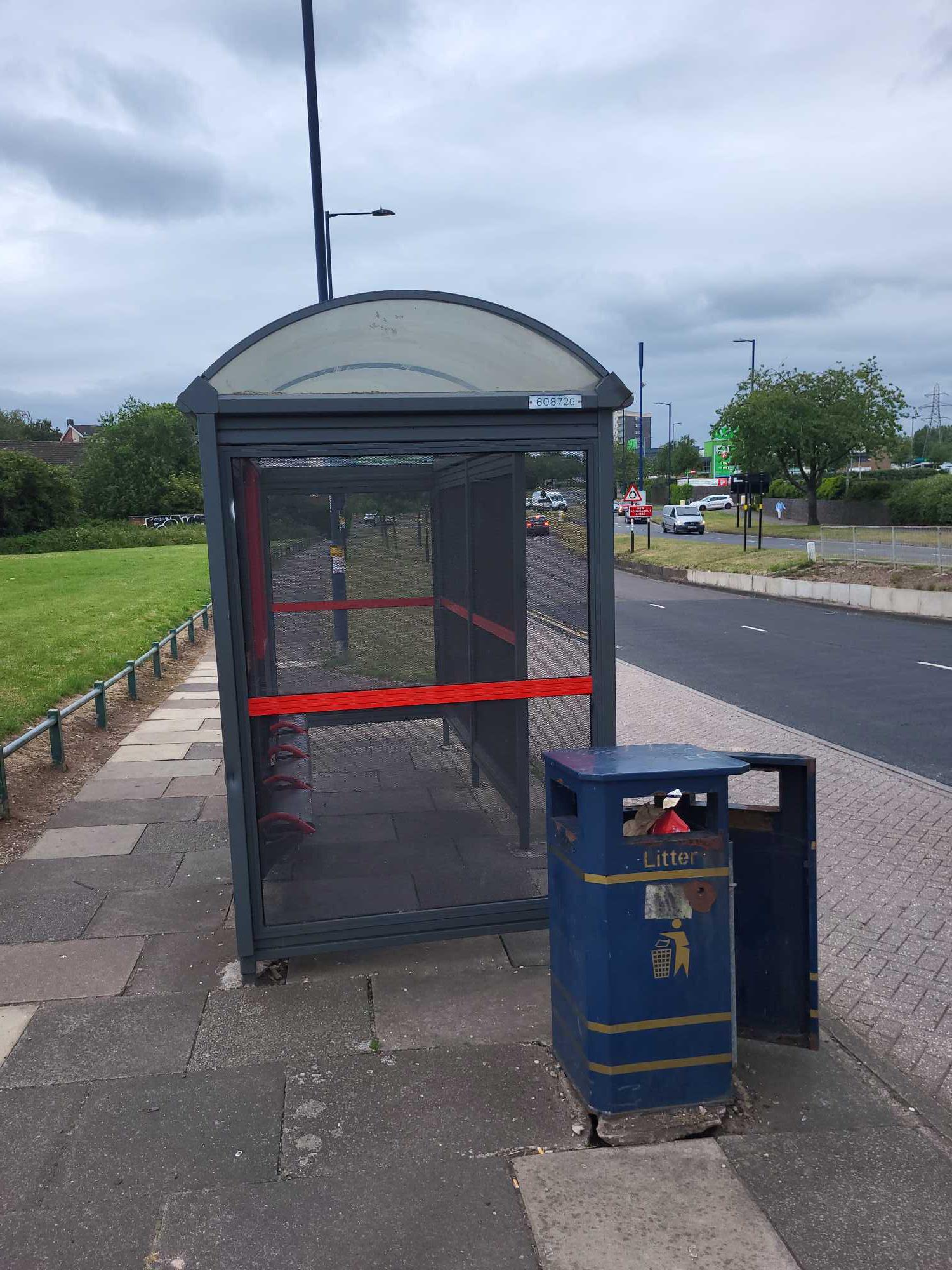 Taken by Anonymous
See Stonebrook Way stop, Bartley Green, on the map
Public transport to Stonebrook Way stop (ID: nwmdmtaw) in Bartley Green
Looking for directions to Stonebrook Way in Bartley Green, United Kingdom?
Download the Moovit App to find the current schedule and step-by-step directions for Bus or Train routes that pass through Stonebrook Way.
Looking for the nearest stops closest to Stonebrook Way ? Check out this list of closest stops to your destination: Woodgate Valley Fire Station; Hillcrest School; Wentworth Way; Swinford Road; Bournville; University.
Bus: 23, 48, X8, X22, 39A, 39S, 39, 55.Train: WEST MIDLANDS RAILWAY, CROSSCOUNTRY.
We make riding on public transit to Stonebrook Way easy, which is why over 1.7 billion users, including users in Bartley Green trust Moovit as the best app for public transit.
Use the app to navigate to popular places including to the airport, hospital, stadium, grocery store, mall, coffee shop, school, college, and university.
Stonebrook Way stop’s code is nwmdmtaw
The first line to this stop is 48, at 05:25, and the last line is 48 at 22:51.
Barnes Hill, Birmingham, England, United Kingdom
This stop serves National Express West Midlands and Kevs Cars and Coaches’s lines
- Woodgate Valley Fire Station,
- Hillcrest School,
- Wentworth Way,
- Swinford Road
Bus stops near Stonebrook Way stop
- Bournville,
- University
Train stations near Stonebrook Way station
- Edge Hill Road,
- Earlswood (West Midlands),
- Sainsburys,
- Cargo Terminal,
- Little Sutton Road,
- Wood End,
- Bennetts Road,
- Leicester Square,
- Maney Hill Road,
- Upper Church Lane,
- Acocks Green Village,
- Madeley Academy,
- Wythall,
- Shady Lane,
- Solihull College,
- Drews Lane,
- Progress Way,
- Gravelly Hill,
- Leamington Shopping Park,
- Pensnett Bus Depot
Popular public transport stations in Bartley Green
Get around Bartley Green by public transport!
Travelling around Bartley Green has never been so easy. See step by step directions as you travel to any attraction, street or major public transport station. View bus and train timetables, arrival times, service alerts and detailed routes on a map, so you know exactly how to get to anywhere in Bartley Green.
When travelling to any destination around Bartley Green use Moovit's Live Directions with Get Off Notifications to know exactly where and how far to walk, how long to wait for your line , and how many stops are left. Moovit will alert you when it’s time to get off — no need to constantly re-check whether yours is the next stop.
Wondering how to use public transport in Bartley Green or how to pay for public transport in Bartley Green? Moovit public transport app can help you navigate your way with public transport easily, and at minimum cost. It includes public transport fees, ticket prices, and costs. Looking for a map of Bartley Green public transport lines? Moovit public transport app shows all public transport maps in Bartley Green with all Bus, Train and Light rail routes and stops on an interactive map.
West Midlands has 3 transport type(s), including: Bus, Train and Light rail, operated by several transport agencies, including National Express West Midlands, National Express Coventry, National Express, Diamond Bus, Arriva Midlands, Stagecoach Midlands, West Midlands Metro, Stagecoach West, Stagecoach South Wales, First Potteries, First Worcestershire, LandFlight, trentbarton, D & G Bus and Flexibus