Stuart Rd stop - Monday schedule
| Line | Direction | Time |
|---|---|---|
| 3 | Merry Hill Bus Station | 06:04 |
| 3 | Merry Hill Bus Station | 06:33 |
| 3 | Merry Hill Bus Station | 07:00 |
| 3A | Oldbury Rd | 07:11 |
| 3 | Merry Hill Bus Station | 07:32 |
| 3A | Oldbury Rd | 07:39 |
| 3 | Merry Hill Bus Station | 08:04 |
| 3A | Oldbury Rd | 08:17 |
| 3 | Merry Hill Bus Station | 08:35 |
| 3A | Oldbury Rd | 08:50 |
| 3 | Merry Hill Bus Station | 09:11 |
| 3A | Oldbury Rd | 09:25 |
| 3 | Merry Hill Bus Station | 09:42 |
| 3A | Oldbury Rd | 09:55 |
| 3 | Merry Hill Bus Station | 10:12 |
| 3A | Oldbury Rd | 10:25 |
| 3 | Merry Hill Bus Station | 10:42 |
| 3A | Oldbury Rd | 10:55 |
| 3 | Merry Hill Bus Station | 11:12 |
| 3A | Oldbury Rd | 11:25 |
| 3 | Merry Hill Bus Station | 11:42 |
| 3A | Oldbury Rd | 11:55 |
| 3 | Merry Hill Bus Station | 12:12 |
| 3A | Oldbury Rd | 12:25 |
| 3 | Merry Hill Bus Station | 12:42 |
Directions to Stuart Road stop (Rowley) with public transport
The following transport lines have routes that pass near Stuart Road
 Bus: 3, X8, 3A, 14, 215.
- Train: WEST MIDLANDS RAILWAY, CHILTERN RAILWAYS, AVANTI WEST COAST, TRANSPORT FOR WALES.
How to get to Stuart Road stop by bus?
Click on the bus route to see step by step directions with maps, line arrival times and updated time schedules.
How to get to Stuart Road stop by train?
Click on the train route to see step by step directions with maps, line arrival times and updated time schedules.
Bus stops near Stuart Road stop in Rowley
- Stuart Road, 2 min walk,
- Rowley Regis Church, 7 min walk,
Train stations near Stuart Road station in Rowley
- Cradley Heath, 19 min walk,
- Sandwell & Dudley, 27 min walk,
Bus lines to Stuart Road stop in Rowley
- 3, Merry Hill Bus Station,
- 3, West Bromwich Bus Station,
- 3A, West Bromwich Bus Station,
- X8, Colmore Row,
- 14, Priory St,
- 215, Blackheath, Blackheath Market,
- 216, Blackheath, Blackheath Market,
What are the nearest stations to Stuart Road?
The nearest stations to Stuart Road are:
- Stuart Road is 86 meters away, 2 min walk.
- Rowley Regis Church is 532 meters away, 7 min walk.
- Cradley Heath is 1458 meters away, 19 min walk.
- Sandwell & Dudley is 2068 meters away, 27 min walk.
Which bus lines stop near Stuart Road?
These bus lines stop near Stuart Road: 3, X8.
Which train line stops near Stuart Road?
WEST MIDLANDS RAILWAY (Worcester Foregate Street)
What’s the nearest train station to Stuart Road in Rowley?
The nearest train station to Stuart Road in Rowley is Cradley Heath. It’s a 19 min walk away.
What’s the nearest bus station to Stuart Road in Rowley?
The nearest bus station to Stuart Road in Rowley is Stuart Road. It’s a 2 min walk away.
What time is the first train to Stuart Road in Rowley?
The WEST MIDLANDS RAILWAY is the first train that goes to Stuart Road in Rowley. It stops nearby at 08:25.
What time is the last train to Stuart Road in Rowley?
The WEST MIDLANDS RAILWAY is the last train that goes to Stuart Road in Rowley. It stops nearby at 23:55.
What time is the first bus to Stuart Road in Rowley?
The X8 is the first bus that goes to Stuart Road in Rowley. It stops nearby at 06:33.
What time is the last bus to Stuart Road in Rowley?
The X8 is the last bus that goes to Stuart Road in Rowley. It stops nearby at 00:04.
Stuart Road station
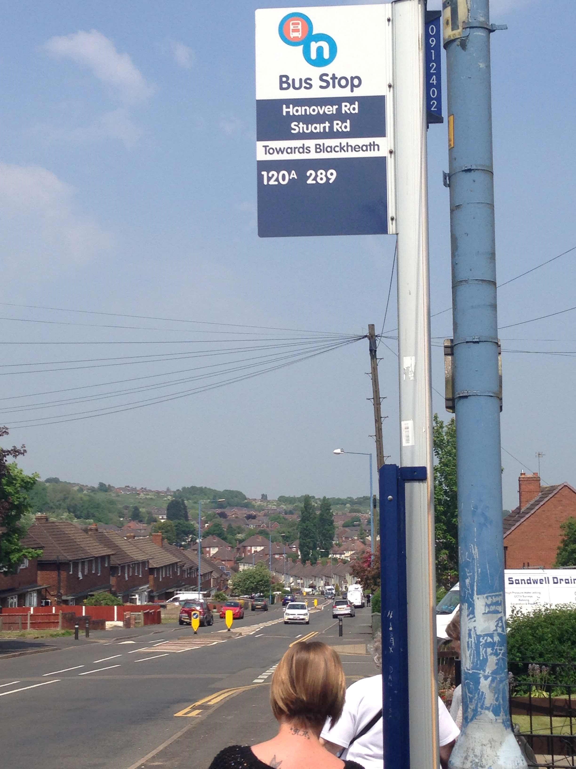 Taken by Anonymous
See Stuart Road stop, Rowley, on the map
Public transport to Stuart Rd stop (ID: nwmdmdaw) in Rowley
Looking for directions to Stuart Road in Rowley, United Kingdom?
Download the Moovit App to find the current schedule and step-by-step directions for Bus, Train or Light rail routes that pass through Stuart Road.
Looking for the nearest stops closest to Stuart Road ? Check out this list of closest stops to your destination: Stuart Road; Rowley Regis Church; Cradley Heath; Sandwell & Dudley.
Bus: 3, X8, 3A, 14, 215, 216.Train: WEST MIDLANDS RAILWAY, CHILTERN RAILWAYS, AVANTI WEST COAST, TRANSPORT FOR WALES.
We make riding on public transit to Stuart Road easy, which is why over 1.5 million users, including users in Rowley trust Moovit as the best app for public transit.
Use the app to navigate to popular places including to the airport, hospital, stadium, grocery store, mall, coffee shop, school, college, and university.
Stuart Rd stop’s code is nwmdmdaw
The first line to this stop is 3, at 06:04, and the last line is 3 at 23:04.
This stop serves Carolean Coaches and National Express West Midlands’s lines
- Stuart Road,
- Rowley Regis Church
Bus stops near Stuart Road stop
- Cradley Heath,
- Sandwell & Dudley
Train stations near Stuart Road station
- Dorridge,
- Shenstone Avenue,
- Astor Drive,
- Pendeford Avenue,
- Top Barn Farm,
- Cole Bank Road,
- Huntington Terrace Road,
- Victoria Park,
- Little Sutton Road,
- Perry Barr,
- Queen Elizabeth Hospital,
- Ocado,
- Fallings Park,
- Cannon Hill Park,
- Stream Road,
- Cope Street,
- Tesco,
- Roebuck Lane,
- Laneside,
- Waterson Croft
Popular public transport stations in Rowley
Get around Rowley by public transport!
Travelling around Rowley has never been so easy. See step by step directions as you travel to any attraction, street or major public transport station. View bus and train timetables, arrival times, service alerts and detailed routes on a map, so you know exactly how to get to anywhere in Rowley.
When travelling to any destination around Rowley use Moovit's Live Directions with Get Off Notifications to know exactly where and how far to walk, how long to wait for your line , and how many stops are left. Moovit will alert you when it’s time to get off — no need to constantly re-check whether yours is the next stop.
Wondering how to use public transport in Rowley or how to pay for public transport in Rowley? Moovit public transport app can help you navigate your way with public transport easily, and at minimum cost. It includes public transport fees, ticket prices, and costs. Looking for a map of Rowley public transport lines? Moovit public transport app shows all public transport maps in Rowley with all Bus, Train and Light rail routes and stops on an interactive map.
West Midlands has 3 transport type(s), including: Bus, Train and Light rail, operated by several transport agencies, including National Express West Midlands, National Express Coventry, National Express, Diamond Bus, Arriva Midlands, Stagecoach Midlands, West Midlands Metro, Stagecoach West, Stagecoach South Wales, First Potteries, First Worcestershire, LandFlight, trentbarton, D & G Bus and Flexibus