How to get to The Face Base by bus?
Click on the bus route to see step by step directions with maps, line arrival times and updated time schedules.
From Cannington Exhibition Centre & Showgrounds, Cannington
53 minFrom B Shed, Fremantle
40 minFrom Swancare, Bentley
49 minFrom Cockburn Ice Arena, Bibra Lake
84 minFrom Milroy Lodge, Shenton Park
54 minFrom Nib Stadium, Perth
41 minFrom Kennedy Baptist College, Murdoch
79 minFrom Loftus Recreation Centre, Leederville
57 minFrom Fremantle Hospital, Fremantle
43 minFrom Queens Park, Queens Park
74 min
How to get to The Face Base by train?
Click on the train route to see step by step directions with maps, line arrival times and updated time schedules.
Bus stops near The Face Base in Applecross
Bus lines to The Face Base in Applecross
What are the nearest stations to The Face Base?
The nearest stations to The Face Base are:
- Kintail Rd After Stack L is 54 meters away, 1 min walk.
- Canning Hwy After Gairloch St is 1018 meters away, 14 min walk.
Which bus lines stop near The Face Base?
These bus lines stop near The Face Base: 148, 158.
Which train line stops near The Face Base?
MANDURAH LINE (Cockburn Central Stn)
What’s the nearest bus station to The Face Base in Applecross?
The nearest bus station to The Face Base in Applecross is Kintail Rd After Stack L. It’s a 1 min walk away.
What time is the first bus to The Face Base in Applecross?
The 910 is the first bus that goes to The Face Base in Applecross. It stops nearby at 04:32.
What time is the last bus to The Face Base in Applecross?
The 115 is the last bus that goes to The Face Base in Applecross. It stops nearby at 00:42.
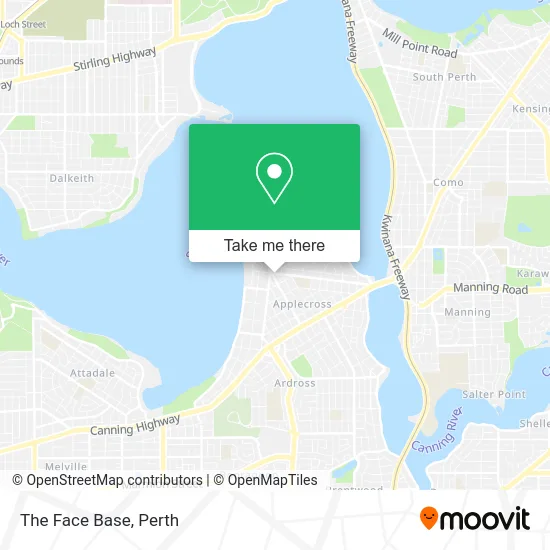
See The Face Base, Applecross, on the map
Public Transit to The Face Base in Applecross
Wondering how to get to The Face Base in Applecross? Moovit helps you find the best way to get to The Face Base with step-by-step directions from the nearest public transit station.
Moovit provides free maps and live directions to help you navigate through your city. View schedules, routes, timetables, and find out how long does it take to get to The Face Base in real time.
Looking for the nearest stop or station to The Face Base? Check out this list of stops closest to your destination: Kintail Rd After Stack L; Canning Hwy After Gairloch St.
Bus: 148, 158, 510, 111, 114, 115, 910.Train: MANDURAH LINE.
Want to see if there’s another route that gets you there at an earlier time? Moovit helps you find alternative routes or times. Get directions from and directions to The Face Base easily from the Moovit App or Website.
We make riding to The Face Base easy, which is why over 1.5 million users, including users in Applecross, trust Moovit as the best app for public transit. You don’t need to download an individual bus app or train app, Moovit is your all-in-one transit app that helps you find the best bus time or train time available.
For information on prices of bus and train, costs and ride fares to The Face Base, please check the Moovit app.
Use the app to navigate to popular places including to the airport, hospital, stadium, grocery store, mall, coffee shop, school, college, and university.
The Face Base Address: 30 Ardross St Applecross WA 6153 street in Applecross
- Ex Animo Editions,
- Kim Giddens Mla Member for Bateman,
- Balanze,
- CD Hair Artistry,
- Canteen Pizza,
- Ardross Street Cafe,
- Cheeky Boy Espresso,
- Bus Stop 19932,
- Lulu & I,
- Sus-ten-Ance,
- Village Lane Garden Centre,
- Century Nails,
- The de Gennaro Family Trust,
- Winston Court,
- Amity Mortgage Solutions,
- I Put A Moon on the Table, But It Has A Hole And Is Lacking,
- lululemon athletica,
- Applecross Parkrun,
- Applecross Village Meats,
- Prime Financial Perth
Places Near The Face Base (Applecross)
- Royal Perth Hospital, Perth,
- Perth Convention Exhibition Centre, Perth,
- Yankee Mart, Baldivis,
- IKEA, Innaloo,
- Fiona Stanley Hospital, Murdoch,
- Scitech, West Perth,
- Westfield Carousel, Cannington,
- Sir Charles Gairdner Hospital, Nedlands,
- Langley Park, Perth,
- Pelicaan Investment Ho, Bellevue,
- Mount Hospital, Perth,
- McCallum Park, Victoria Park,
- Karrinyup Shopping Centre, Karrinyup,
- Crown Perth Casino, Burswood,
- Rac Arena, Perth,
- Hillarys Boat Harbour,
- Optus Stadium, Burswood,
- Aqwa Aquarium, Hillarys,
- DFO, Perth Airport,
- Blue Boat House
How to get to popular places in Perth with public transport
Get around Applecross by public transport!
Travelling around Applecross has never been so easy. See step by step directions as you travel to any attraction, street or major public transport station. View bus and train timetables, arrival times, service alerts and detailed routes on a map, so you know exactly how to get to anywhere in Applecross.
When travelling to any destination around Applecross use Moovit's Live Directions with Get Off Notifications to know exactly where and how far to walk, how long to wait for your line , and how many stops are left. Moovit will alert you when it’s time to get off — no need to constantly re-check whether yours is the next stop.
Wondering how to use public transport in Applecross or how to pay for public transport in Applecross? Moovit public transport app can help you navigate your way with public transport easily, and at minimum cost. It includes public transport fees, ticket prices, and costs. Looking for a map of Applecross public transport lines? Moovit public transport app shows all public transport maps in Applecross with all Bus, Train and Ferry routes and stops on an interactive map.
Perth has 3 transport type(s), including: Bus, Train and Ferry, operated by several transport agencies, including Transperth Rail, Transwa, Transperth Ferry, Transperth, TransBusselton, TransAlbany, TransGoldfields, TransEsperance, TransGeraldton, TransCarnarvon, TransHedland, TransKarratha, TransBunbury, Mandurah Bus Charter and TransBroome