The Stack, Lochee East stop - Saturday schedule
| Line | Direction | Time |
|---|---|---|
| 10 | Ninewells | 06:25 |
| 1 | St Marys | 06:46 |
| 1 | St Marys | 07:15 |
| 1 | Dundee City Centre | 07:17 |
| 1 | St Marys | 07:45 |
| 1 | Dundee City Centre | 07:47 |
| 1 | St Marys | 08:01 |
| 1 | Dundee City Centre | 08:17 |
| 10 | Ninewells | 08:22 |
| 1 | St Marys | 08:26 |
| 1 | Dundee City Centre | 08:35 |
| 1 | St Marys | 08:56 |
| 10 | Ninewells | 08:56 |
| 10 | Broughty Ferry | 09:00 |
| 1 | Dundee City Centre | 09:05 |
| 1 | St Marys | 09:16 |
| 10 | Ninewells | 09:26 |
| 10 | Broughty Ferry | 09:30 |
| 1 | Dundee City Centre | 09:35 |
| 1 | St Marys | 09:36 |
| 1 | Dundee City Centre | 09:55 |
| 1 | St Marys | 09:56 |
| 10 | Ninewells | 09:56 |
| 10 | Broughty Ferry | 10:00 |
| 1 | Dundee City Centre | 10:15 |
Directions to The Stack, Lochee East stop (Dundee) with public transport
The following transport lines have routes that pass near The Stack, Lochee East
 Bus: 1, 10, 28, 57, 2.
- Train: CALEDONIAN SLEEPER, CROSSCOUNTRY, LONDON NORTH EASTERN RAILWAY, SCOTRAIL.
How to get to The Stack, Lochee East stop by bus?
Click on the bus route to see step by step directions with maps, line arrival times and updated time schedules.
Bus stops near The Stack, Lochee East stop in Dundee
- Foggyley Gardens, Lochee East, 4 min walk,
- Sinclair Street, Lochee, 5 min walk,
- Redwood Avenue, Lochee East, 5 min walk,
- Lochee High Street, Lochee, 6 min walk,
- Lochee By-Pass, Lochee West, 6 min walk,
- Grays Lane, Lochee, 7 min walk,
Train stations near The Stack, Lochee East station in Dundee
- Dundee, 30 min walk,
Bus lines to The Stack, Lochee East stop in Dundee
- 2, Dundee City Centre,
- 10, Ninewells,
- 10S, Lochee East,
- 28, Camperdown,
- 1, St Marys,
- 17, Dundee City Centre,
- 4S, Riverside - Dryburgh,
- 57, Dundee bus station - Blairgowrie, Wellmeadow,
- 57A, Dundee bus station - Blairgowrie, Wellmeadow,
- 59, Dundee - Blairgowrie,
- E11, Bridge Of Don,
What are the nearest stations to The Stack, Lochee East?
The nearest stations to The Stack, Lochee East are:
- Foggyley Gardens, Lochee East stop is 261 meters away, 4 min walk.
- Sinclair Street, Lochee stop is 342 meters away, 5 min walk.
- Redwood Avenue, Lochee East stop is 350 meters away, 5 min walk.
- Lochee High Street, Lochee stop is 438 meters away, 6 min walk.
- Lochee By-Pass, Lochee West stop is 445 meters away, 6 min walk.
- Grays Lane, Lochee stop is 535 meters away, 7 min walk.
- Dundee station is 2349 meters away, 30 min walk.
Which bus lines stop near The Stack, Lochee East?
These bus lines stop near The Stack, Lochee East: 1, 10, 28, 57.
What’s the nearest train station to The Stack, Lochee East in Dundee?
The nearest train station to The Stack, Lochee East in Dundee is Dundee. It’s a 30 min walk away.
What’s the nearest bus station to The Stack, Lochee East in Dundee?
The nearest bus station to The Stack, Lochee East in Dundee is Foggyley Gardens, Lochee East. It’s a 4 min walk away.
What time is the first train to The Stack, Lochee East in Dundee?
The SCOTRAIL is the first train that goes to The Stack, Lochee East in Dundee. It stops nearby at 05:41.
What time is the last train to The Stack, Lochee East in Dundee?
The SCOTRAIL is the last train that goes to The Stack, Lochee East in Dundee. It stops nearby at 00:44.
What time is the first bus to The Stack, Lochee East in Dundee?
The 28 is the first bus that goes to The Stack, Lochee East in Dundee. It stops nearby at 04:39.
What time is the last bus to The Stack, Lochee East in Dundee?
The 1 is the last bus that goes to The Stack, Lochee East in Dundee. It stops nearby at 23:58.
The Stack, Lochee East station
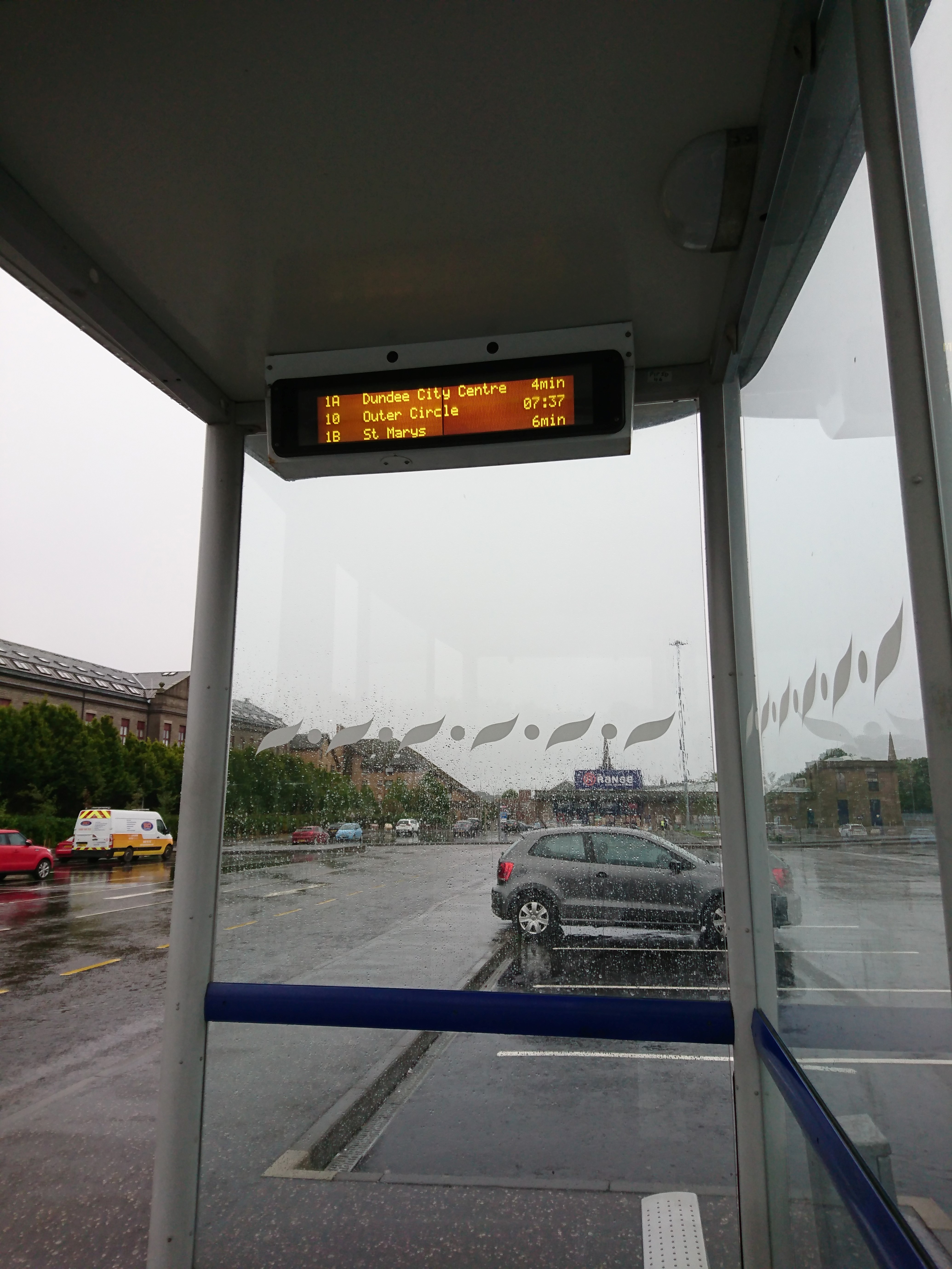 Taken by Adam D.
See The Stack, Lochee East stop, Dundee, on the map
Public transport to The Stack, Lochee East stop (ID: 6400S59) in Dundee
Looking for directions to The Stack, Lochee East in Dundee, United Kingdom?
Download the Moovit App to find the current schedule and step-by-step directions for Bus routes that pass through The Stack, Lochee East.
Looking for the nearest stops closest to The Stack, Lochee East ? Check out this list of closest stops to your destination: Foggyley Gardens; Sinclair Street; Redwood Avenue; Lochee High Street; Lochee By-Pass; Grays Lane; Dundee.
Bus: 1, 10, 28, 57, 2, 10S, 17, 4S, 57A, 59.Train: CALEDONIAN SLEEPER, CROSSCOUNTRY, LONDON NORTH EASTERN RAILWAY, SCOTRAIL.
We make riding on public transit to The Stack, Lochee East easy, which is why over 1.7 billion users, including users in Dundee trust Moovit as the best app for public transit.
Use the app to navigate to popular places including to the airport, hospital, stadium, grocery store, mall, coffee shop, school, college, and university.
The Stack, Lochee East stop’s code is 6400S59
The first line to this stop is 10, at 06:25, and the last line is 1 at 23:49.
This stop serves Xplore Dundee’s lines
Popular routes from The Stack, Lochee East stop, Dundee
- Foggyley Gardens, Lochee East,
- Sinclair Street, Lochee,
- Redwood Avenue, Lochee East,
- Lochee High Street, Lochee,
- Lochee By-Pass, Lochee West,
- Grays Lane, Lochee
Bus stops near The Stack, Lochee East stop
- Dundee
Train station near The Stack, Lochee East station
- Sanquhar,
- Church Road, North Berwick,
- Lochside Crescent, Edinburgh Park,
- Tomaknock, Crieff,
- Motherwell,
- Edinburgh College (Sighthill), Sighthill,
- Houton Orkney Ferry Terminal, Houton,
- Whitehall Street, Dundee City Centre,
- Police Station, Dundee City Centre,
- Queen Street, Paisley,
- Commonhead Road, Easterhouse,
- Sir Chris Hoy Velodrome, Parkhead,
- Asda, Falkirk,
- Bridge Of Allan,
- Western General Hospital, Craigleith,
- Dobbies Garden World, Melville Nursery,
- Standing Stones Of Stenness, Stenness,
- Holburn Junction, Aberdeen,
- Ulva Ferry (Mull) Ferry Landing, Ulva Ferry,
- Bypass, Luss
Popular public transport stations in Dundee
Get around Dundee by public transport!
Travelling around Dundee has never been so easy. See step by step directions as you travel to any attraction, street or major public transport station. View bus and train timetables, arrival times, service alerts and detailed routes on a map, so you know exactly how to get to anywhere in Dundee.
When travelling to any destination around Dundee use Moovit's Live Directions with Get Off Notifications to know exactly where and how far to walk, how long to wait for your line , and how many stops are left. Moovit will alert you when it’s time to get off — no need to constantly re-check whether yours is the next stop.
Wondering how to use public transport in Dundee or how to pay for public transport in Dundee? Moovit public transport app can help you navigate your way with public transport easily, and at minimum cost. It includes public transport fees, ticket prices, and costs. Looking for a map of Dundee public transport lines? Moovit public transport app shows all public transport maps in Dundee with all Bus, Train, Light rail and Ferry routes and stops on an interactive map.
Scotland has 4 transport type(s), including: Bus, Train, Light rail and Ferry, operated by several transport agencies, including First Greater Glasgow, First Aberdeen, Lothian Buses, McGill's, Stagecoach East Scotland, Stagecoach Bluebird, Xplore Dundee, Community Transport Glasgow, Prentice Westwood, McCall's Coaches, J P Minibus, National Rail, R Robertson & Son, Burnbrae Garage and Ember