Directions to Two Rocks with public transportation
The following transport lines have routes that pass near Two Rocks
 Bus: 498.
How to get to Two Rocks by bus?
Click on the bus route to see step by step directions with maps, line arrival times and updated time schedules.
Bus stop near Two Rocks
- Sovereign Dr After Intrepid Ct, 6 min walk,VIEW
Bus routes to Two Rocks
- 498, Two Rocks,VIEW
What are the nearest stations to Two Rocks?
The nearest stations to Two Rocks are:
- Sovereign Dr After Intrepid Ct is 345 meters away, 6 min walk.
Which bus line stops near Two Rocks?
498 (Two Rocks)
What’s the nearest bus station to Two Rocks?
The nearest bus station to Two Rocks is Sovereign Dr After Intrepid Ct. It’s a 6 min walk away.
What time is the first bus to Two Rocks?
The 498 is the first bus that goes to Two Rocks. It stops nearby at 04:11.
What time is the last bus to Two Rocks?
The 498 is the last bus that goes to Two Rocks. It stops nearby at 00:28.
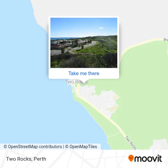
See Two Rocks on the map
Public Transportation to Two Rocks
Wondering how to get to Two Rocks? Moovit helps you find the best way to get to Two Rocks with step-by-step directions from the nearest public transit station.
Moovit provides free maps and live directions to help you navigate through your city. View schedules, routes, timetables, and find out how long does it take to get to Two Rocks in real time.
Looking for the nearest stop or station to Two Rocks? Check out this list of stops closest to your destination: Sovereign Dr After Intrepid Ct.
Bus: 498.
Want to see if there’s another route that gets you there at an earlier time? Moovit helps you find alternative routes or times. Get directions from and directions to Two Rocks easily from the Moovit App or Website.
We make riding to Two Rocks easy, which is why over 1.5 million users, including users in Two Rocks, trust Moovit as the best app for public transit. You don’t need to download an individual bus app or train app, Moovit is your all-in-one transit app that helps you find the best bus time or train time available.
For information on prices of bus and train, costs and ride fares to Two Rocks, please check the Moovit app.
Use the app to navigate to popular places including to the airport, hospital, stadium, grocery store, mall, coffee shop, school, college, and university.
Two Rocks Address: Candler Way street in Two Rocks

Popular routes to Two Rocks
- From Main St Opposite Harrison St,
- From Angelo St After Sandgate St,
- From Perth,
- From Riseley St After Drew Rd,
- From Champion Dr After Williams Rd,
- From Scarborough Beach Rd Ellen Stirling Boulevard Cat Id 5,
- From Cockburn Rd Before Rollinson Rd,
- From Albany Hwy After Herbert St,
- From Orrong Rd After Wright St,
- From Lloyd St After Great Eastern Hwy
- Cellarbrations,
- Coastal Automotive Repairs,
- Charnwood Skate Park,
- Neptune Creative Video Production Perth,
- Liv Easy SPRTS Thrpy,
- Access Training Academy,
- Feel the Love Remedial Massage,
- Black Dhori Australia,
- Kingweld Built Pty,
- Two Rocks Fish N Dive Boating Supplies,
- The Breath Centre,
- Breakwater Park,
- King Neptune Statue,
- Shanti Green House,
- Yanchep Two Rocks Co,
- The Authority,
- Red Cross,
- Sun City Group,
- Two Rocks Lpo,
- Ray White Northern Coast
Places Near Two Rocks
- Yankee Mart, Baldivis,
- Blue Boat House,
- Crown Perth Casino, Burswood,
- Fiona Stanley Hospital, Murdoch,
- DFO, Perth Airport,
- Karrinyup Shopping Centre, Karrinyup,
- McCallum Park, Victoria Park,
- Optus Stadium, Burswood,
- Mount Hospital, Perth,
- Aqwa Aquarium, Hillarys,
- Sir Charles Gairdner Hospital, Nedlands,
- Hillarys Boat Harbour,
- Pelicaan Investment Ho, Bellevue,
- IKEA, Innaloo,
- Rac Arena, Perth,
- Westfield Carousel, Cannington,
- Perth Convention Exhibition Centre, Perth,
- Langley Park, Perth,
- Scitech, West Perth,
- Royal Perth Hospital, Perth
How to get to popular places in Perth with public transport
Get around Two Rocks by public transport!
Travelling around Two Rocks has never been so easy. See step by step directions as you travel to any attraction, street or major public transport station. View bus and train timetables, arrival times, service alerts and detailed routes on a map, so you know exactly how to get to anywhere in Two Rocks.
When travelling to any destination around Two Rocks use Moovit's Live Directions with Get Off Notifications to know exactly where and how far to walk, how long to wait for your line , and how many stops are left. Moovit will alert you when it’s time to get off — no need to constantly re-check whether yours is the next stop.
Wondering how to use public transport in Two Rocks or how to pay for public transport in Two Rocks? Moovit public transport app can help you navigate your way with public transport easily, and at minimum cost. It includes public transport fees, ticket prices, and costs. Looking for a map of Two Rocks public transport lines? Moovit public transport app shows all public transport maps in Two Rocks with all Bus, Train and Ferry routes and stops on an interactive map.
Perth has 3 transport type(s), including: Bus, Train and Ferry, operated by several transport agencies, including Transperth Rail, Transwa, Transperth Ferry, Transperth, TransBusselton, TransAlbany, TransGoldfields, TransEsperance, TransGeraldton, TransCarnarvon, TransHedland, TransKarratha, TransBunbury, Mandurah Bus Charter and TransBroome