Upper Parade stop - Monday schedule
| Line | Direction | Time |
|---|---|---|
| U1A | Warwick Gates Heathcote Hospital | 03:14 |
| 77E | Kineton Church Opp | 05:45 |
| 67 | Sydenham Emmott Drive | 06:16 |
| X17 | Warwick Bus Station | 06:23 |
| 77C | Opp Tesco Express Shipston | 06:25 |
| 14 | Warwick Bus Station | 06:32 |
| U1 | Randal Close | 06:34 |
| 67 | Sydenham Emmott Drive | 06:36 |
| 1 | Whitnash Hod Carrier | 06:38 |
| X18 | Mcdonalds Stratford-Upon-Avon | 06:45 |
| 67B | Leamington Spa Upper Parade | 06:49 |
| 64 | Leamington Spa Upper Parade | 06:54 |
| 77E | Stratford-Upon-Avon Bell | 06:55 |
| 63 | Rugby Clifton Road | 06:56 |
| 67 | Sydenham Emmott Drive | 06:56 |
| 665 | Bishop's Itchington Bishops Hill | 06:56 |
| X17 | Warwick Bus Station | 06:58 |
| U1 | Randal Close | 07:04 |
| X18 | Mcdonalds Stratford-Upon-Avon | 07:05 |
| 1 | Whitnash Hod Carrier | 07:08 |
| 67C | Leamington Spa Upper Parade | 07:09 |
| 67 | Sydenham Emmott Drive | 07:16 |
| 67A | Leamington Spa Upper Parade | 07:29 |
| U1 | Randal Close | 07:33 |
| X16 | Stratford-Upon-Avon Bell | 07:35 |
Directions to Upper Parade stop (Leamington Clarendon) with public transport
The following transport lines have routes that pass near Upper Parade
 Bus: 11, 77, U1, X17, X18.
- Train: CHILTERN RAILWAYS, CROSSCOUNTRY, WEST MIDLANDS RAILWAY.
How to get to Upper Parade stop by bus?
Click on the bus route to see step by step directions with maps, line arrival times and updated time schedules.
How to get to Upper Parade stop by train?
Click on the train route to see step by step directions with maps, line arrival times and updated time schedules.
Bus stops near Upper Parade stop in Leamington Clarendon
- Beauchamp Avenue, 2 min walk,
- Clarendon Avenue, 2 min walk,
- Regent Street, 4 min walk,
- Regent Hotel, 4 min walk,
- Oxford Street, 5 min walk,
- Upper Parade, 5 min walk,
Train stations near Upper Parade station in Leamington Clarendon
- Warwick, 51 min walk,
Bus lines to Upper Parade stop in Leamington Clarendon
- U1, Randal Close,
- U1A, Warwick Gates Heathcote Hospital,
- 11, Crown Hotel,
- X16, Leek Wootton Hill Wootton Road,
- X17, Upper Parade,
- X18, Leamington Spa Upper Parade,
- X18A, Upper Parade,
- 665, Long Itchington Odingsell Drive,
- 1, Warwick Gates Trident Park,
- AS1, Leamington Spa Parish Church,
- 14, Cubbington Stonehouse Close,
- 15, Leamington Spa Upper Parade,
- 15A, Leamington Spa Upper Parade,
- 67, Upper Parade,
- 69, Ryton Blacksmiths Arms,
- 77, Oxfam Stratford-Upon-Avon,
- 77A, Banbury Bus Station,
- 77C, Leamington Spa Upper Parade,
- 77E, Milverton Bishop Bright Hall,
- 78, Upper Parade,
What are the nearest stations to Upper Parade?
The nearest stations to Upper Parade are:
- Beauchamp Avenue stop is 104 meters away, 2 min walk.
- Clarendon Avenue stop is 116 meters away, 2 min walk.
- Regent Street stop is 264 meters away, 4 min walk.
- Regent Hotel stop is 287 meters away, 4 min walk.
- Oxford Street stop is 339 meters away, 5 min walk.
- Upper Parade stop is 343 meters away, 5 min walk.
- Warwick station is 3921 meters away, 51 min walk.
Which bus lines stop near Upper Parade?
These bus lines stop near Upper Parade: 11, 77, U1, X17, X18.
Which train lines stop near Upper Parade?
These train lines stop near Upper Parade: CHILTERN RAILWAYS, CROSSCOUNTRY.
What’s the nearest bus station to Upper Parade in Leamington Clarendon?
The nearest bus stations to Upper Parade in Leamington Clarendon are Beauchamp Avenue and Clarendon Avenue. The closest one is a 2 min walk away.
What time is the first train to Upper Parade in Leamington Clarendon?
The CHILTERN RAILWAYS is the first train that goes to Upper Parade in Leamington Clarendon. It stops nearby at 08:55.
What time is the last train to Upper Parade in Leamington Clarendon?
The CHILTERN RAILWAYS is the last train that goes to Upper Parade in Leamington Clarendon. It stops nearby at 23:33.
What time is the first bus to Upper Parade in Leamington Clarendon?
The U1A is the first bus that goes to Upper Parade in Leamington Clarendon. It stops nearby at 03:01.
What time is the last bus to Upper Parade in Leamington Clarendon?
The 11 is the last bus that goes to Upper Parade in Leamington Clarendon. It stops nearby at 23:40.
Upper Parade station
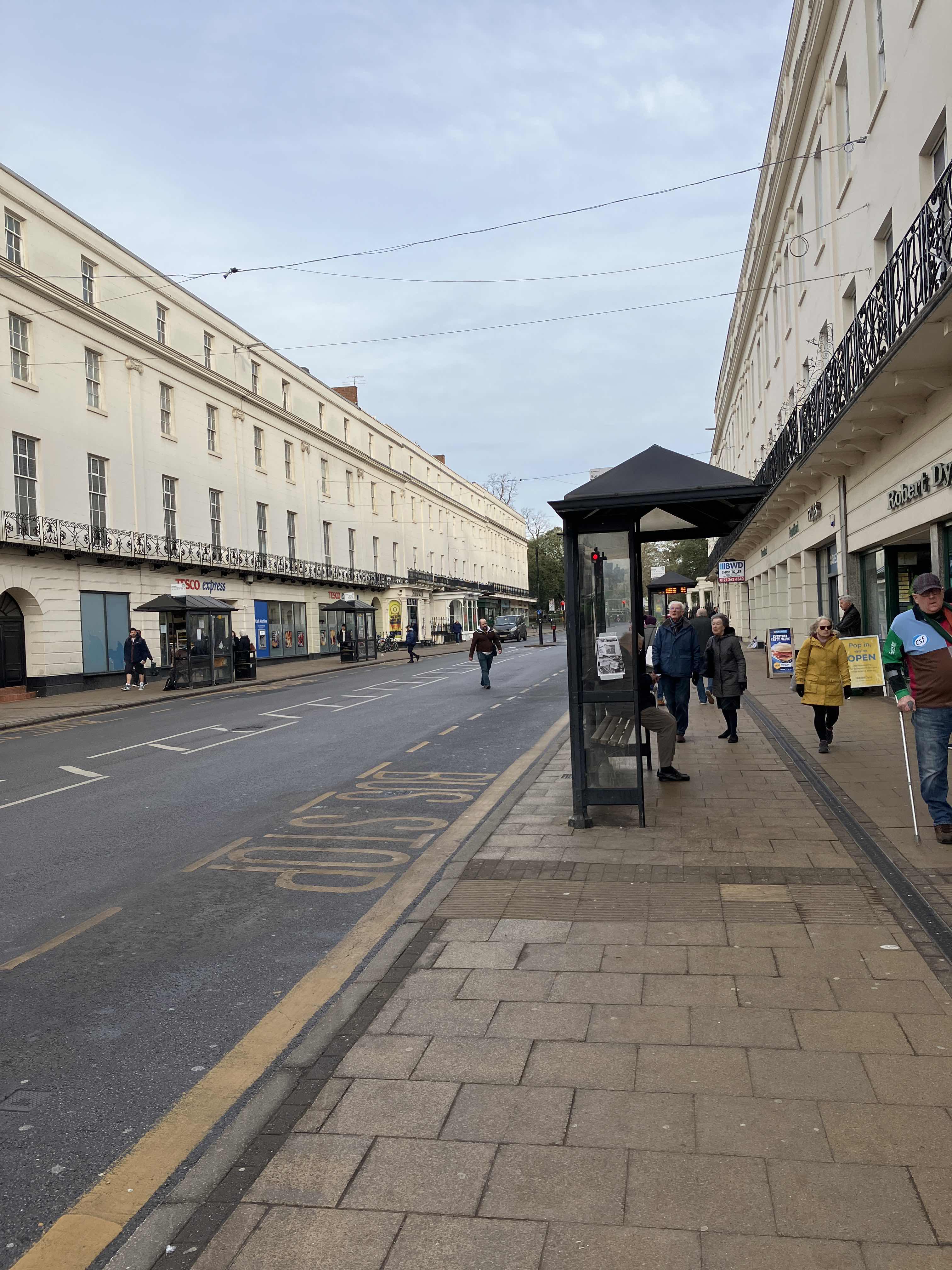 Taken by Anonymous
See Upper Parade stop, Leamington Clarendon, on the map
Public transport to Upper Parade stop (ID: wardawad) in Leamington Clarendon
Looking for directions to Upper Parade in Leamington Clarendon, United Kingdom?
Download the Moovit App to find the current schedule and step-by-step directions for Bus or Train routes that pass through Upper Parade.
Looking for the nearest stops closest to Upper Parade ? Check out this list of closest stops to your destination: Beauchamp Avenue; Clarendon Avenue; Regent Street; Regent Hotel; Oxford Street; Upper Parade; Warwick.
Bus: 11, 77, U1, X17, X18, U1A, X16, 665, 1, AS1, 14, 15, 15A, 15C, 63, 664, 67A, 67B, 67C.Train: CHILTERN RAILWAYS, CROSSCOUNTRY, WEST MIDLANDS RAILWAY.
We make riding on public transit to Upper Parade easy, which is why over 1.7 billion users, including users in Leamington Clarendon trust Moovit as the best app for public transit.
Use the app to navigate to popular places including to the airport, hospital, stadium, grocery store, mall, coffee shop, school, college, and university.
Upper Parade stop’s code is wardawad
The first line to this stop is U1A, at 03:14, and the last line is U1A at 02:44.
19 The Parade, Royal Leamington Spa, England, United Kingdom
This stop serves Stagecoach Midlands’s lines
Popular routes from Upper Parade stop, Leamington Clarendon
- Beauchamp Avenue,
- Clarendon Avenue,
- Regent Street,
- Regent Hotel,
- Oxford Street,
- Upper Parade
Bus stops near Upper Parade stop
- Warwick
Train station near Upper Parade station
- Wednesfield Police Station,
- Burntwood Road,
- Fox Lane,
- Greenhill Street,
- Red Lane,
- Darby Road,
- Queen Elizabeth Hospital,
- Wembley Stadium,
- South Staffordshire Council Offices,
- Watford Junction,
- Foley Arms,
- Blood & Transplant Centre,
- Colmore Row,
- Manor Court Road,
- Museum Of the Gorge Car Park,
- Old Square,
- New Cross Hospital,
- Park And Ride Car Park,
- Danzey,
- Northfield Leisure Centre
Popular public transport stations in Leamington Clarendon
Get around Leamington Clarendon by public transport!
Travelling around Leamington Clarendon has never been so easy. See step by step directions as you travel to any attraction, street or major public transport station. View bus and train timetables, arrival times, service alerts and detailed routes on a map, so you know exactly how to get to anywhere in Leamington Clarendon.
When travelling to any destination around Leamington Clarendon use Moovit's Live Directions with Get Off Notifications to know exactly where and how far to walk, how long to wait for your line , and how many stops are left. Moovit will alert you when it’s time to get off — no need to constantly re-check whether yours is the next stop.
Wondering how to use public transport in Leamington Clarendon or how to pay for public transport in Leamington Clarendon? Moovit public transport app can help you navigate your way with public transport easily, and at minimum cost. It includes public transport fees, ticket prices, and costs. Looking for a map of Leamington Clarendon public transport lines? Moovit public transport app shows all public transport maps in Leamington Clarendon with all Bus, Train and Light rail routes and stops on an interactive map.
West Midlands has 3 transport type(s), including: Bus, Train and Light rail, operated by several transport agencies, including National Express West Midlands, National Express Coventry, National Express, Diamond Bus, Arriva Midlands, Stagecoach Midlands, West Midlands Metro, Stagecoach West, Stagecoach South Wales, First Potteries, First Worcestershire, LandFlight, trentbarton, D & G Bus and Flexibus